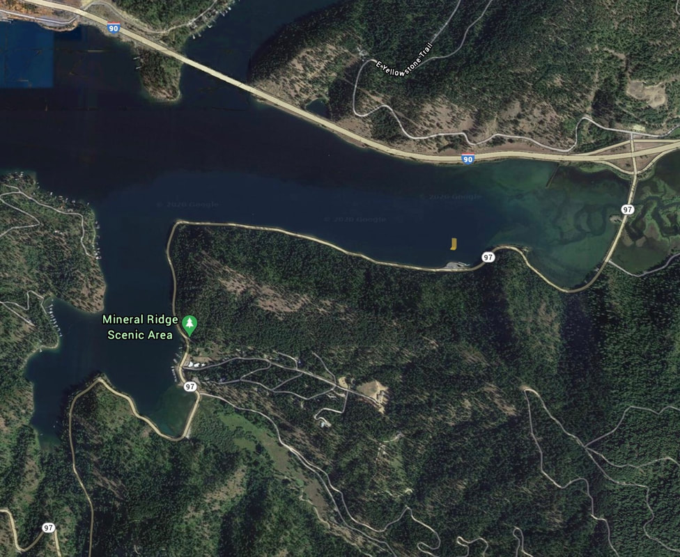
MINERAL RIDGE BLM LAUNCH
PADDLE DISTANCE: varies
ELEVATION: 2128’
LENGTH AND ACREAGE: varies
MAPS: IPNF, Mt. CDA topo
LAUNCH GPS: 47°37’07” N 116°39’37” W
KOOTENAI COUNTY SHERIFF: 208.446.1300
ELEVATION: 2128’
LENGTH AND ACREAGE: varies
MAPS: IPNF, Mt. CDA topo
LAUNCH GPS: 47°37’07” N 116°39’37” W
KOOTENAI COUNTY SHERIFF: 208.446.1300
DESCRIPTION:
WE HAVE ADDED THE AREAS SHERIFF’S EMERGENCY PHONE NUMBERS FOR EACH TRIP WRITE UP UNDER THE RANGER DISTRICT INFO. IF AN EMERGENCY OCURRS, EVALUATE YOUR CIRCUMSTANCES AND CALL ONLY IF NEEDED.
The Mineral Ridge launch is a BLM launch that may require a launch fee. Please be very careful re-entering Hwy 97A when leaving.
In the months of December and January, this site is a great place to view the annual migration of Bald Eagles.
The Mineral Ridge launch is a BLM launch that may require a launch fee. Please be very careful re-entering Hwy 97A when leaving.
In the months of December and January, this site is a great place to view the annual migration of Bald Eagles.
ATTRACTIONS
From this launch you can access the Wolf Lodge Creek, Beauty Bay, Moscow Bay and the main body of the north nd of Lake CDA
DIRECTIONS:
From CDA, drive east on I-90 to the Harrison, Idaho exit, onto Hwy 97A.
Drive about .9 of a mile to the launch on the right.
Drive about .9 of a mile to the launch on the right.
COOL THINGS CLOSE BY:
Wolf Lodge Creek & Bay, Beauty Bay, Blue Bay, and Moscow Bay
R & P:
Trails End Brewery, Mexican Food Factory, Moon Time


