PRIEST RIVER CITY PARK LAUNCH
PADDLE DISTANCE: varies
ELEVATION: 2067’
LENGTH AND ACREAGE: varies
MAPS: IPNF, Priest River Topo
LAUNCH GPS: 48°10’ 36” N 116°45’15” W
BONNER COUNTY SHERIFF: 208.263.8417
ELEVATION: 2067’
LENGTH AND ACREAGE: varies
MAPS: IPNF, Priest River Topo
LAUNCH GPS: 48°10’ 36” N 116°45’15” W
BONNER COUNTY SHERIFF: 208.263.8417
DESCRIPTION:
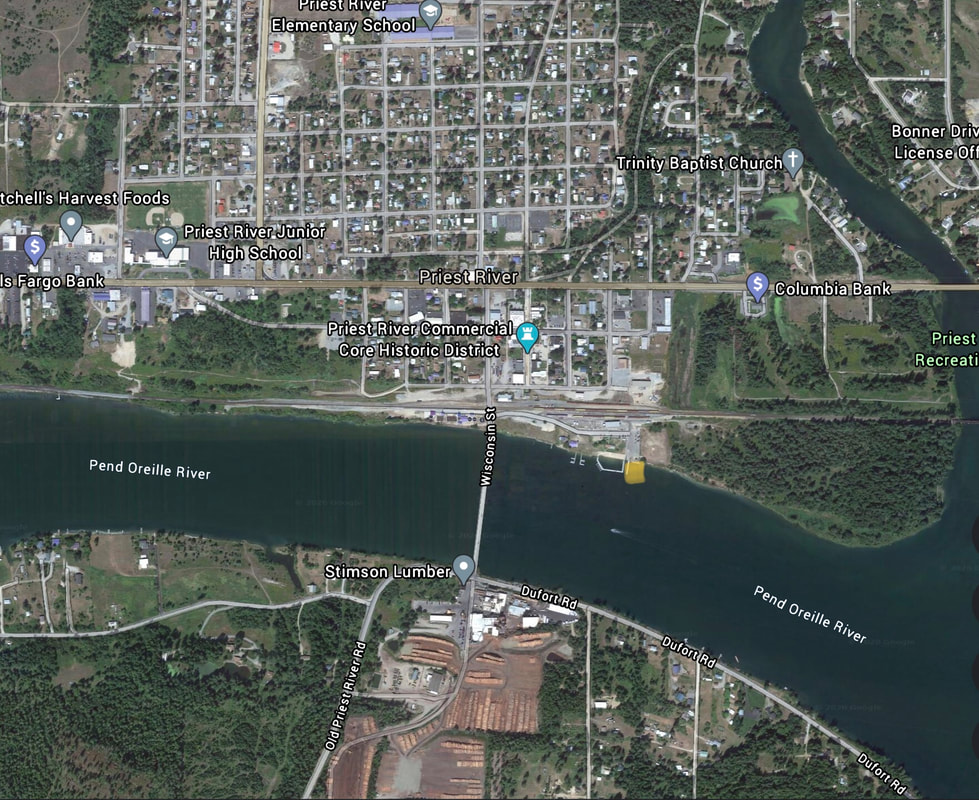
Along the north side of the river, in the city of Priest River, is Bonner Park West. The launch is located just east of the P.O.River bridge.
There are restrooms, docks, a swimming area, and plenty of parking
There are restrooms, docks, a swimming area, and plenty of parking
ATTRACTIONS
Paddle from Priest River east or west on the river.
Just east of the city launch is where the where the Priest River flows into the P.O River. Take a paddle up stream as far as you like
Just east of the city launch is where the where the Priest River flows into the P.O River. Take a paddle up stream as far as you like
DIRECTIONS:
Once in Priest River, drive east on Hwy 2 to, and turn right (south) onto Wisconsin Street. Just before the bridge across P.O. River, turn left (East) onto Railroad Ave to the Bonner Park West.
COOL THINGS CLOSE BY:
The Priest River confluence. Priest Lake, Upper Priest Lake, and the American Selkirks.
R & P:
Burger Express


