AMBER LAKE LAUNCH
PADDLE DISTANCE: 3.7 miles
ELEVATION: 2157’
LENGTH AND ACREAGE: 1.8 miles and 1.87 up the SW creek, and 117 acres
MAPS: Amber Lake Topo
LAUNCH GPS: 47°20’56” N 117°42’52” W
SPOKANE COUNTY SHERIFF: 509.477.224O
ELEVATION: 2157’
LENGTH AND ACREAGE: 1.8 miles and 1.87 up the SW creek, and 117 acres
MAPS: Amber Lake Topo
LAUNCH GPS: 47°20’56” N 117°42’52” W
SPOKANE COUNTY SHERIFF: 509.477.224O
DESCRIPTION:
WE HAVE ADDED THE AREAS SHERIFF’S EMERGENCY PHONE NUMBERS FOR EACH TRIP WRITE UP UNDER THE RANGER DISTRICT INFO. IF AN EMERGENCY OCURRS, EVALUATE YOUR CIRCUMSTANCES AND CALL ONLY IF NEEDED.
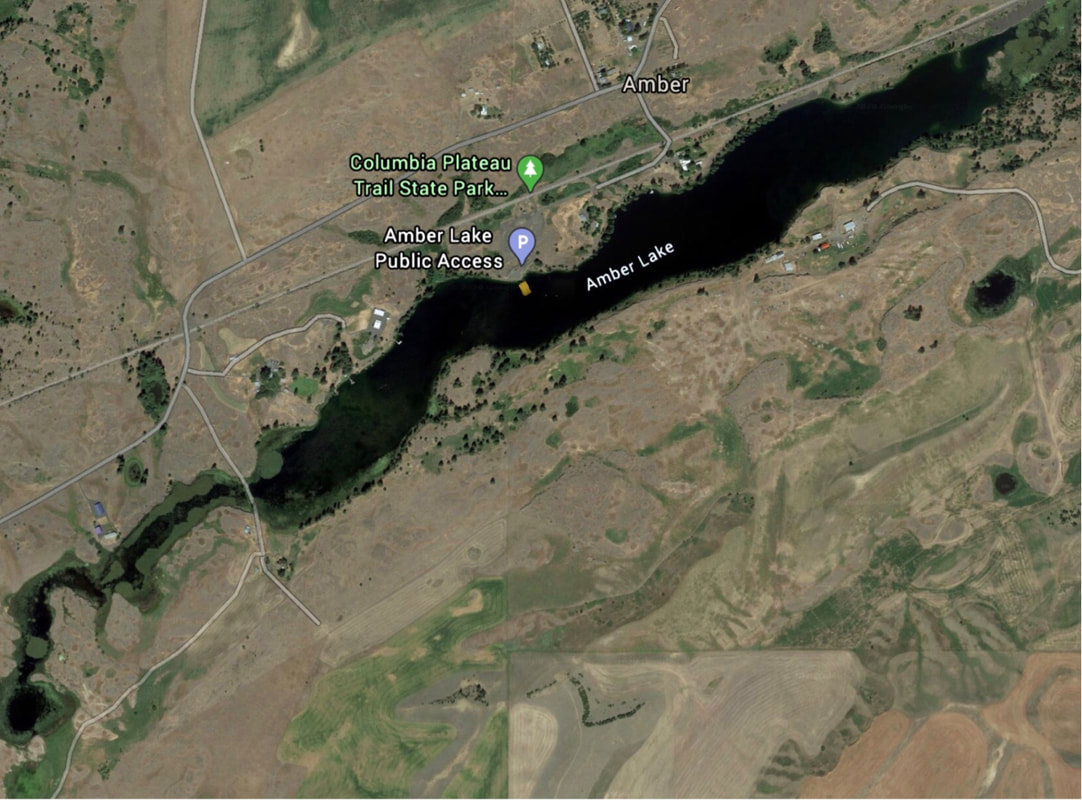
The public launch is located about midway along the lake, on its north side. To the west, the lake becomes narrow and eventually leads to a pool at its west end.
The public launch is located about midway along the lake, on its north side. To the west, the lake becomes narrow and eventually leads to a pool at its west end.
ATTRACTIONS
NA
DIRECTIONS:
Drive thru Cheney and turn left (south) on to S. Mullnix Road for 9.7 miles and turn Right (west) not W. Pines Springs Road to Amber. In Amber turn left (SE) Onto S. Houck Ave to the launch.
COOL THINGS CLOSE BY:
Columbia Plateau Trail, Williams Lake, Sprague Lake, Rock Lake, and Bonnie Lake
R & P:
Harvest Restaurant, Lenny’s in Cheney


