GRANITE LAKE, C.M.W. 4629’
EVENT TYPE: Hiking, backpacking, scrambling, and ice climbing.
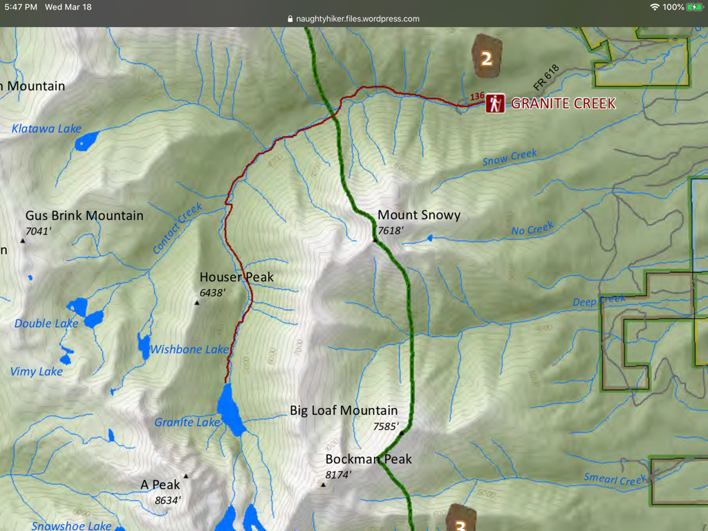
DISTANCE: 12 miles RT
ELEVATION GAIN: 1400' gain
DIFFICULTY: Difficult, but harder during spring runoff.
MAPS: Kootenai N.F., Treasure Mt., Snowshoe Peak
GPS: 48°15’10”N 115°41’20”W
RANGER DISTRICT: Libby R.D. 406.293.7333
LINCOLN COUNTY SHERIFF: CALL 911 FIRST or 406.293.4112
DISTANCE: 12 miles RT
ELEVATION GAIN: 1400' gain
DIFFICULTY: Difficult, but harder during spring runoff.
MAPS: Kootenai N.F., Treasure Mt., Snowshoe Peak
GPS: 48°15’10”N 115°41’20”W
RANGER DISTRICT: Libby R.D. 406.293.7333
LINCOLN COUNTY SHERIFF: CALL 911 FIRST or 406.293.4112
DESCRIPTION:
WE HAVE ADDED THE AREAS SHERIFF’S EMERGENCY PHONE NUMBERS FOR EACH TRIP WRITE UP UNDER THE RANGER DISTRICT INFO. IF AN EMERGENCY OCURRS, EVALUATE YOUR CIRCUMSTANCES AND CALL ONLY IF NEEDED.
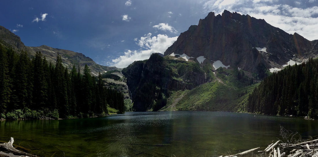
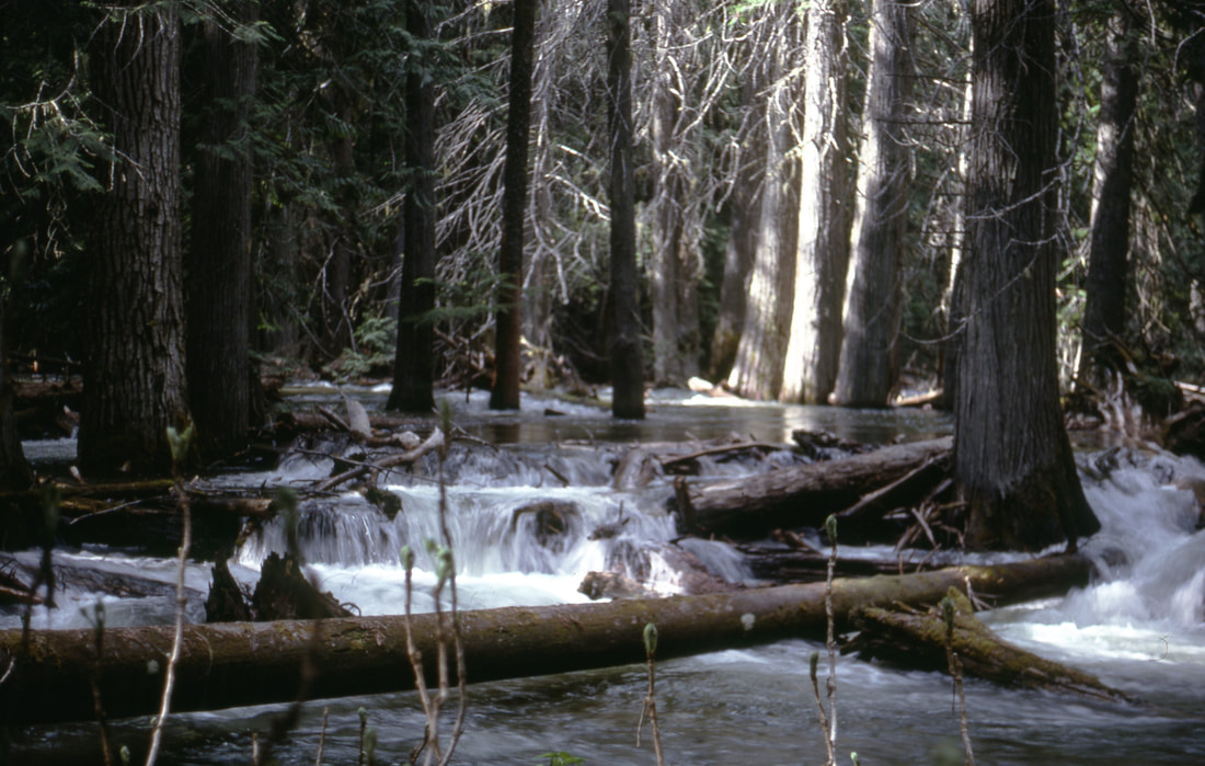
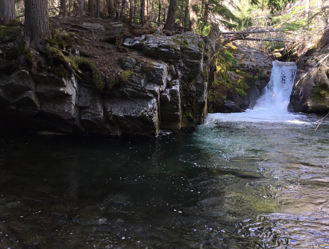
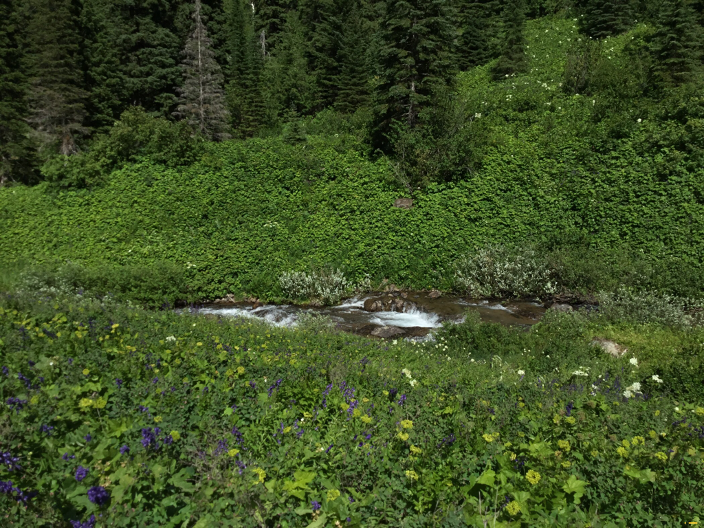
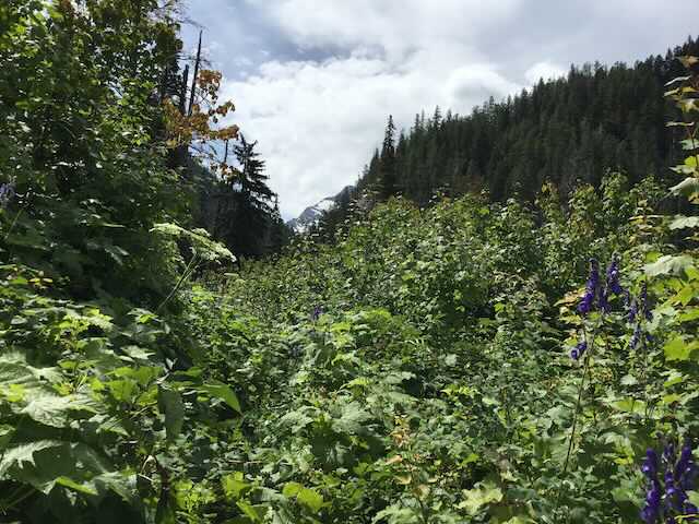
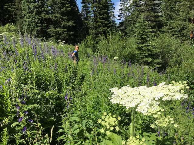
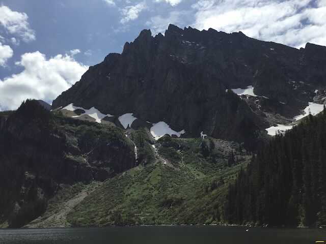
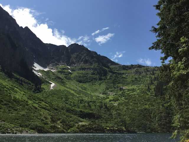
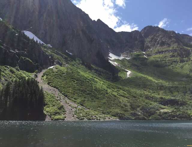
The trial starts out in the forest and climb steadily for about 2.3 miles to a nice 10' tall waterfall on Granite Creek. In the spring, the water is flowing high, so crossing it may take some effort. Explore your options for crossing it carefully. The next four miles isn't steep, but it's in the trees until about 1.5 of a mile from the lake. When the trail opens up, the first views of A Peak 8634' loom large. As you approach the lake along Granite Creek, there are places to sleep. At the lake, there is only room for two campsites, but what a view it has. Above the lake in the spring, about 50 waterfalls tumble over massive cliffs for 100' or more. These falls are fed by the only glacier in our region, Blackwell Glacier. There isn't a lot of exploring capabilities here without doing some serious brushwacking on very steep terrain.
In 1936, the Spokane Mountaineers held there second Summer Outing at Granite Lake, putting 11 of 15 members on top of Snowshoe Peak. This is the most difficult ascent of Snowshoe Peak. Along the trail in, the horse team hired to carry in gear, was spooked by a fisherlady dressed in white. Six of the seven horses fell off the trail and scattered their gear everywhere. They repacked 6 horses and made it to the lake.
If you are looking for solitude, this is the place to go.
If you are an ice climber, Granite Peak is said to be the best in the world.
DIRECTIONS:
From Libby, head south on Highway 2 for 1/2 a mile to the Shaughnessy Hill Road. At the top of the hill go south for about 1/2 a mile to sharp west turn onto FR #128, Flower Creek Road. After a mile turn east onto FR #618, and follow it for 8 miles to the trailhead.
HAZARDS:
The most hazardous part of this hike is the creek crossing, especially in the spring.
COOL THINGS CLOSE BY:
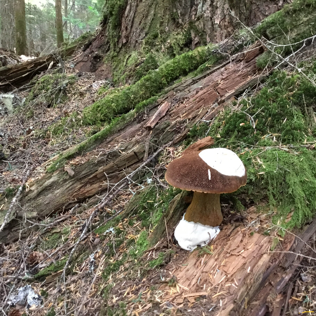
Historic Libby, Montana, Leigh Lake, Snowshoe Peak, Upper & Lower Geiger Lakes with Lost Buck Pass above, A Peak, two of the largest Douglas Firs in Montana are located near the back of the lake. In 2016 during our Summer Outing, member Chuck Huber and his hiking team found dozens of Morel Mushrooms along this trail.
R & P:
Kaiju Bar & Grill in Libby. For a 1950’s dining experience, stop by Henry’s. It is located close to the Roseaurs, Pizza Hut, in Libby, Clark Fork Pantry & Squeeze In in Clark Fork. , Eicharts, Mr Sub & Jalapeños in Sandpoint.
In Libby, try The Shed
In Libby, try The Shed
