ROSS CREEK CEDARS SCENIC AREA. TRAIL #405
EVENT TYPE: Scenic Nature Hike
DISTANCE 1 mile loop +
ELEVATION: Minimal
DIFFICULTY: easy & wheel chair accessible
MAPS: Kootenai N.F., Sawtooth Mountain topo
GPS: 48°12’30” N 115°54’53” W
RANGER DISTRICT: Three River R.D. 406.295.4693
LINCOLN COUNTY SHERIFF: CALL 911 FIRST or 406.293 4112
DISTANCE 1 mile loop +
ELEVATION: Minimal
DIFFICULTY: easy & wheel chair accessible
MAPS: Kootenai N.F., Sawtooth Mountain topo
GPS: 48°12’30” N 115°54’53” W
RANGER DISTRICT: Three River R.D. 406.295.4693
LINCOLN COUNTY SHERIFF: CALL 911 FIRST or 406.293 4112
DESCRIPTION:
WE HAVE ADDED THE AREAS SHERIFF’S EMERGENCY PHONE NUMBERS FOR EACH TRIP WRITE UP UNDER THE RANGER DISTRICT INFO. IF AN EMERGENCY OCURRS, EVALUATE YOUR CIRCUMSTANCES AND CALL ONLY IF NEEDED.
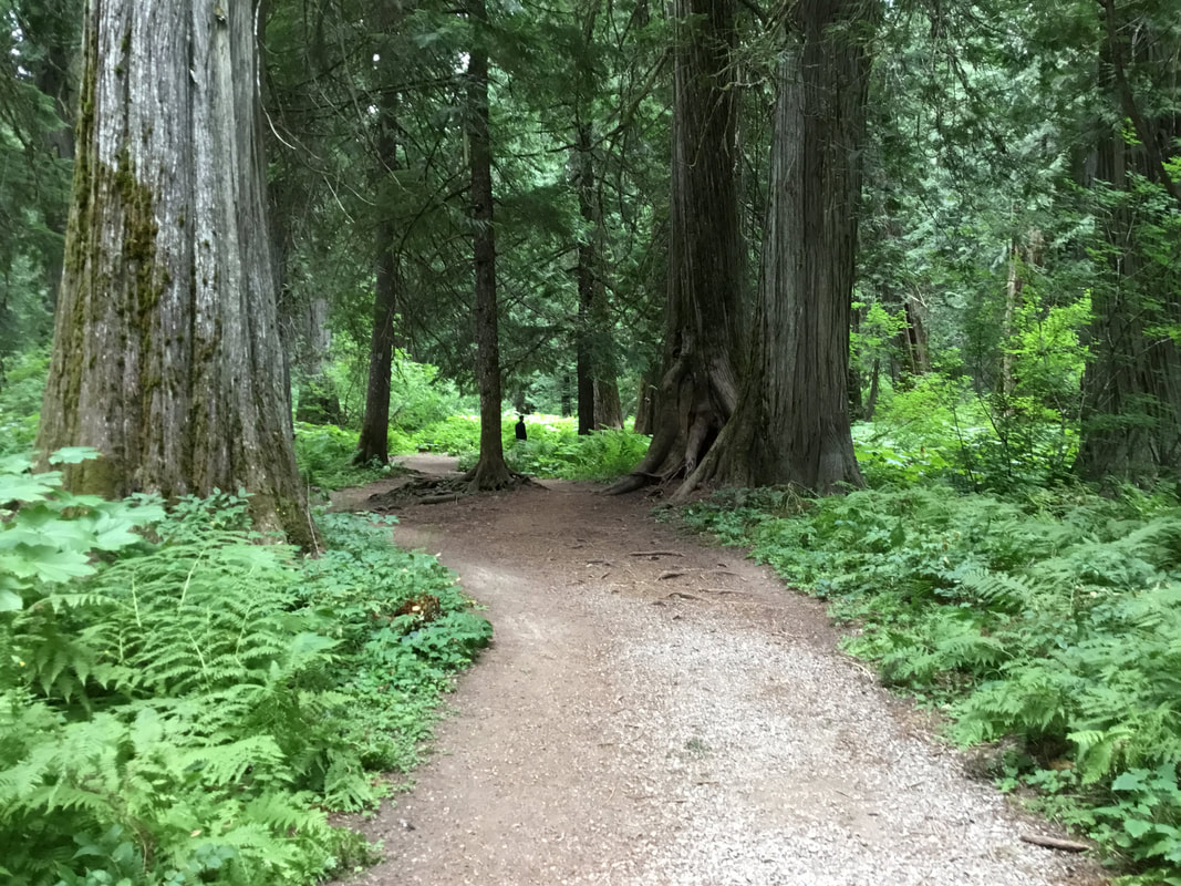
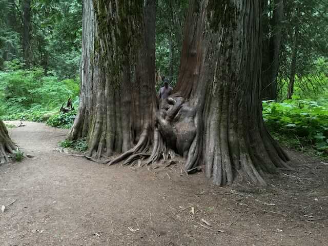
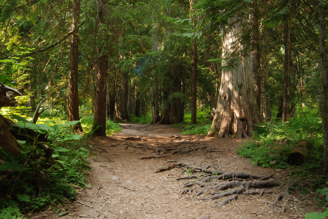
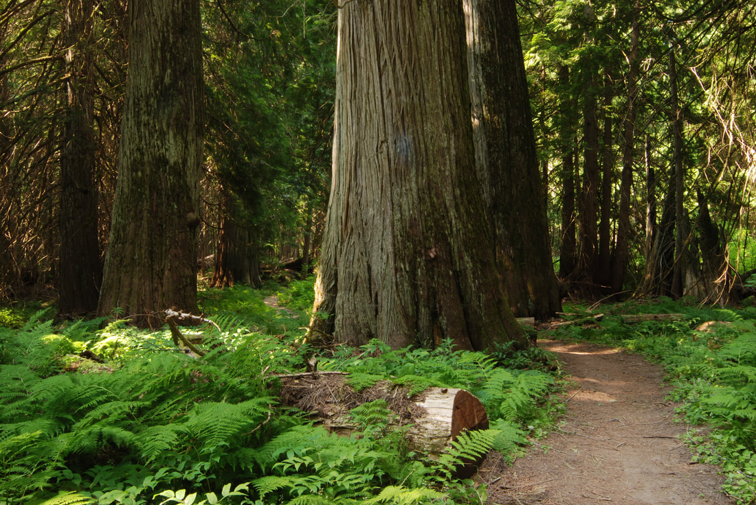
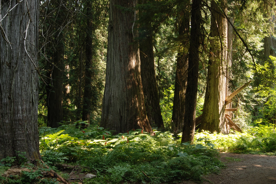
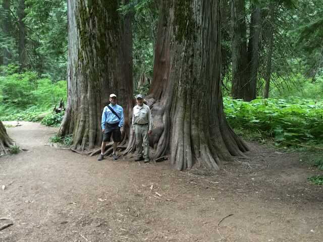
For the most part, this trail is level as it winds thru a large stand of Western Red Cedars.
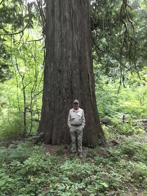
Some of the trees in this preserve are 5 to 8 feet in diameter and exist in all ages of life.
The 1 mile loop trail takes you close and in some instances thru some of the trees.
There is a picnic area next to the parking lot with tables and a bridge across Ross Creek.
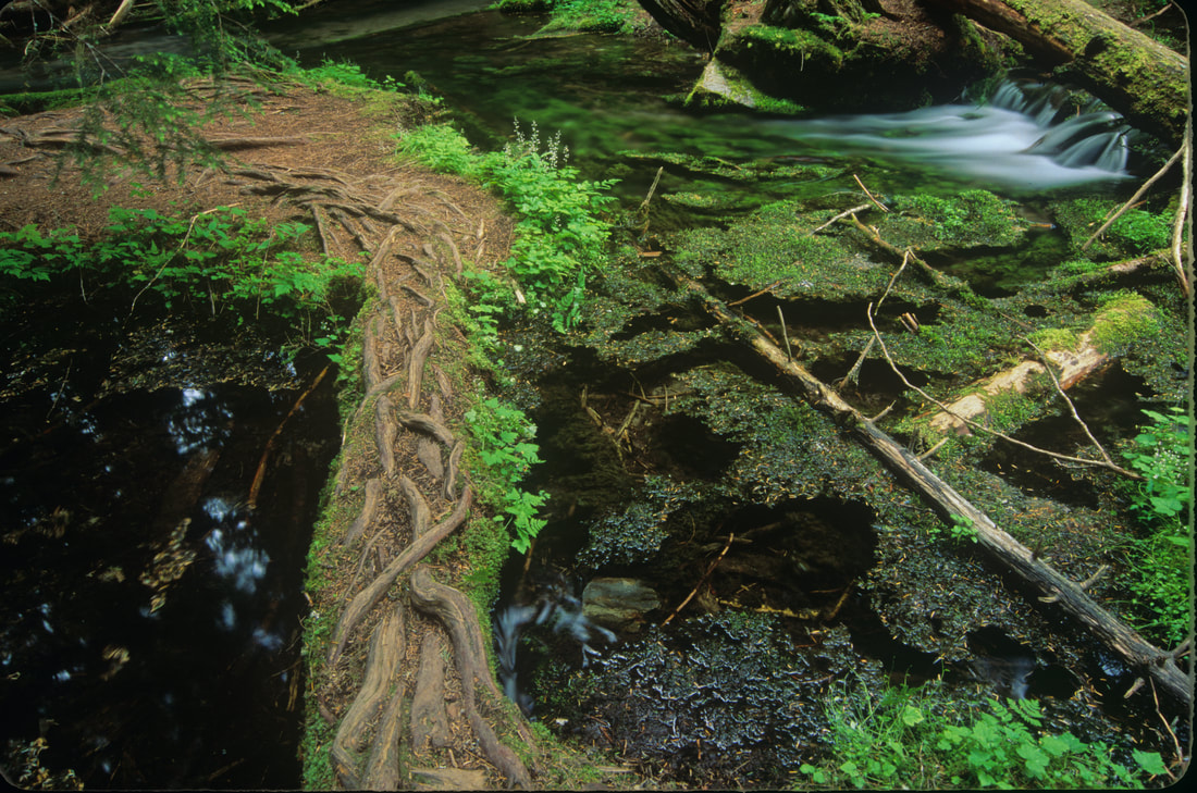
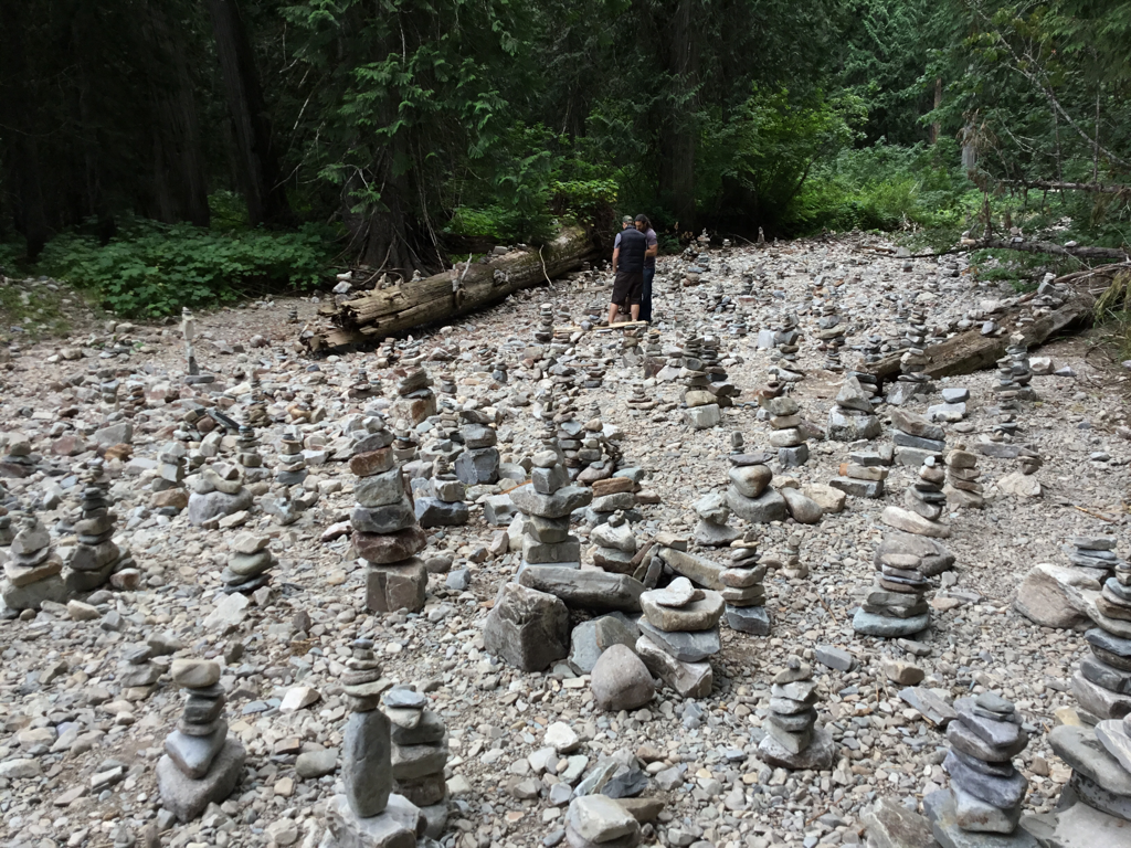
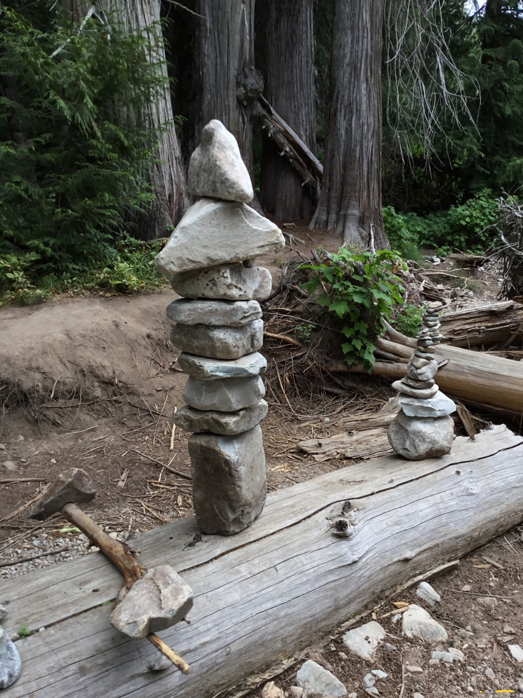
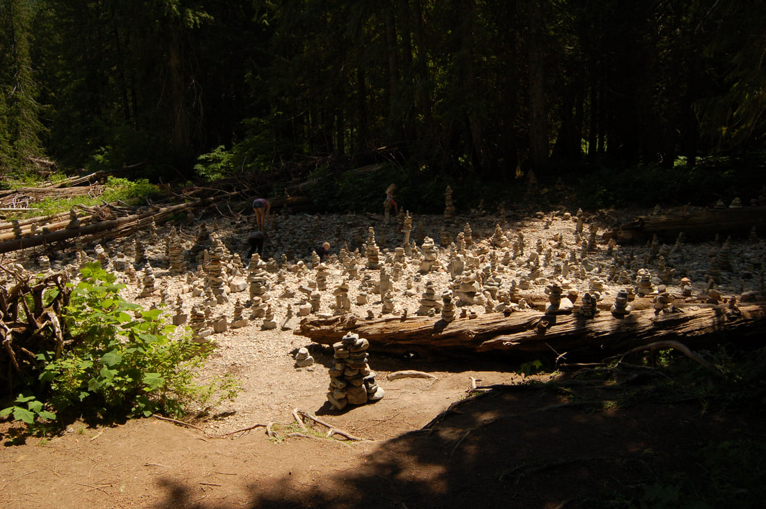
Across from the restrooms are picnic tables, and the creek here has hundreds of cairns built on the stream bed.
DO NOT MISS THIS WALK.
OPTION #1:
As you walk the trail, look for a spur Trail #142 at the very back of the hike, that takes you into the backcountry. At about 1 mile the trail crosses the North Fork Ross Creek, and then Ross Creek. Look in the trees for an old sign that directs you to the South Fork Ross Creek Trail #321 heading south. In about another mile the trail crosses Ross Creek again, and follows the South Fork Ross Creek. In about a mile is the South Fork Ross Creek Falls. This falls isn't a big drop, but as it flows below the falls, the shallow creek flows across the rocks. The reflections off the water of the Devil's Club in the back, colors the water greenish yellowish.
You can continue on this trail for another 2 miles to the base of Middle Mountain and Sawtooth Mountain.
PLEASE BE AWARE THAT THIS ROUTE IS IN BEAR COUNTRY. PAY ATTENTION AND MAKE A LOT OF NOISE AS YOU HIKE THIS TRAIL.
And watch for Pine Martins along this route.
You can continue on this trail for another 2 miles to the base of Middle Mountain and Sawtooth Mountain.
PLEASE BE AWARE THAT THIS ROUTE IS IN BEAR COUNTRY. PAY ATTENTION AND MAKE A LOT OF NOISE AS YOU HIKE THIS TRAIL.
And watch for Pine Martins along this route.
DIRECTIONS:
From Sandpoint, head east on Highway 200 into Montana, and turn left (north) up Hwy 56 for 17 miles to the signs for the cedars. This road is about 4 miles to the parking area.
On the way out at about 3 miles, there is a wide spot where the road turns left. Pull over and take in the views of the Cabinet Mountain Wilderness across the valley. Also, below this pull off, is the Lower Ross Creek Falls. It is, however, a grunt getting down and up from the falls, on a crummy path.
On the way out at about 3 miles, there is a wide spot where the road turns left. Pull over and take in the views of the Cabinet Mountain Wilderness across the valley. Also, below this pull off, is the Lower Ross Creek Falls. It is, however, a grunt getting down and up from the falls, on a crummy path.
HAZARDS:
Cedar Grove....none of note, but finding a parking spot in the summer and spring is the crux of this walk.
Above the grove, the trail is more primitive and is a little used trail, so be careful. Also, I ran into a Grizzly Bear after the South Fork waterfalls. But it was so startled at my presence, it ran uphill and disappeared.
Above the grove, the trail is more primitive and is a little used trail, so be careful. Also, I ran into a Grizzly Bear after the South Fork waterfalls. But it was so startled at my presence, it ran uphill and disappeared.
COOL THINGS CLOSE BY:
The Proposed Scotchman Peaks Wilderness, the Cabinet Mountain Wilderness, and lots of trails into both areas, and the Bull River and Lake. And don’t forget the Clark Fork Pantry.
R & P:
Clark Fork Pantry, Squeeze Inn in Clark Fork & Jalapeños, Mr. Sub, Eichardt’s Sandpoint
Click for Current NOAA Weather Conditions
