NAVIGATION TRAIL #291 TO UPPER PRIEST LAKE
LEVENT TYPE: Hiking & backpacking
DISTANCE: 6 miles RT to Plowboy CG, 12 miles RT too Navigation CG
ELEVATION: Less then 1000 verts out and back.
DIFFICULTY: Easy
GPS: N48° 47’42” W116° 54’ 38” Navigation Campground
RANGER DISTRICT: PRIEST RIVER RANGER DISTRICT: 208.443.2512
BOUNDARY COUNTY SHERIFF: CALL 911 FIRST or 208.267.3151
DISTANCE: 6 miles RT to Plowboy CG, 12 miles RT too Navigation CG
ELEVATION: Less then 1000 verts out and back.
DIFFICULTY: Easy
GPS: N48° 47’42” W116° 54’ 38” Navigation Campground
RANGER DISTRICT: PRIEST RIVER RANGER DISTRICT: 208.443.2512
BOUNDARY COUNTY SHERIFF: CALL 911 FIRST or 208.267.3151
DESCRIPTION:
WE HAVE ADDED THE AREAS SHERIFF’S EMERGENCY PHONE NUMBERS FOR EACH TRIP WRITE UP UNDER THE RANGER DISTRICT INFO. IF AN EMERGENCY OCURRS, EVALUATE YOUR CIRCUMSTANCES AND CALL ONLY IF NEEDED.
Trail #291 starts near Beaver Creek CG, on the northwest corner of of the Lower Lake.
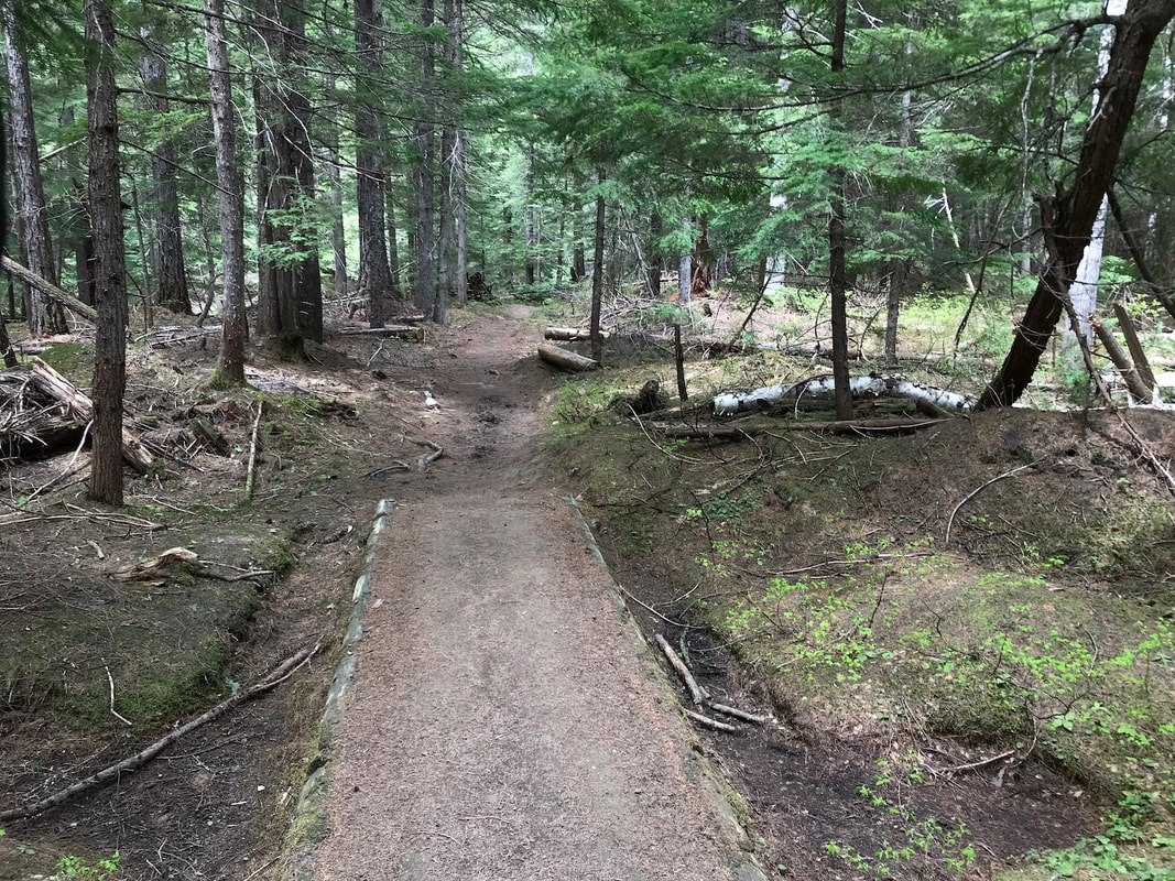
The trail is mostly flat with about 200+ gain that you do again on the return hike.
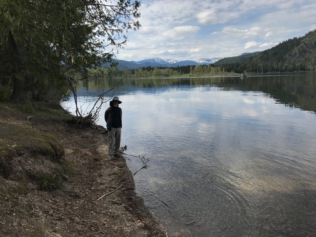
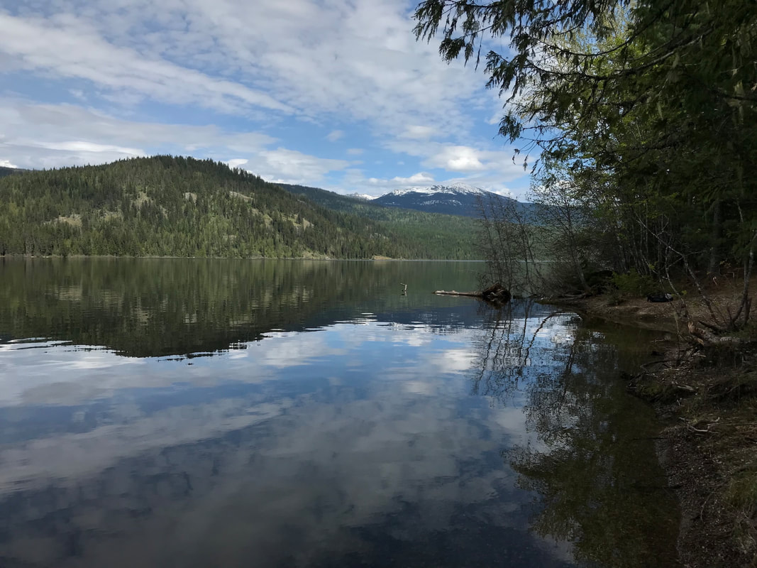
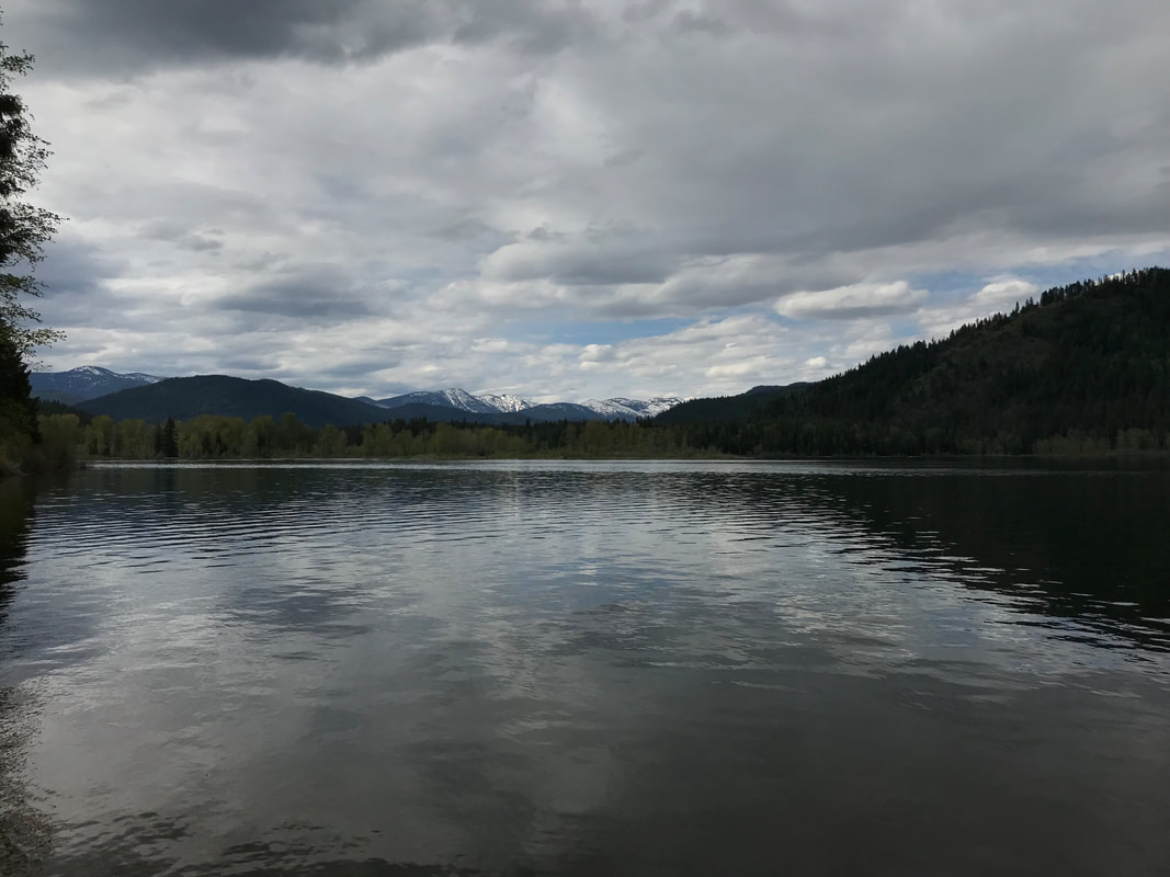
We were there on June 2nd, 2022 and found the Lake to be mirror smooth with only two fishing boats.
The first place you come to along the south end, is the Plowboy CG. It has a nice view of the northern section of the Selkirks, and a few campsites.
The forest around the south half of Upper Priest Lake, Navigation Trail is suffering from excessive fuel loading.
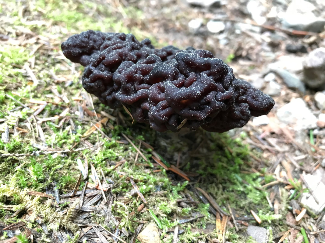
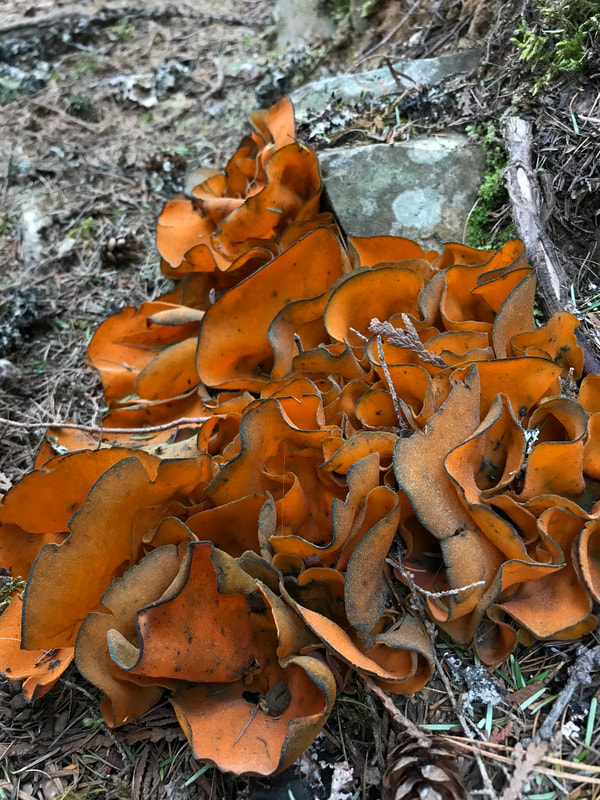
Further along the trail, the mushrooms and fungi were on displayed. See photos below.
Part of the trail is close to the shore line for views. But as you get to the Navigation CG., the views explode all around you.
The picnic table at Navigation CG was damaged, so take along sit pads.
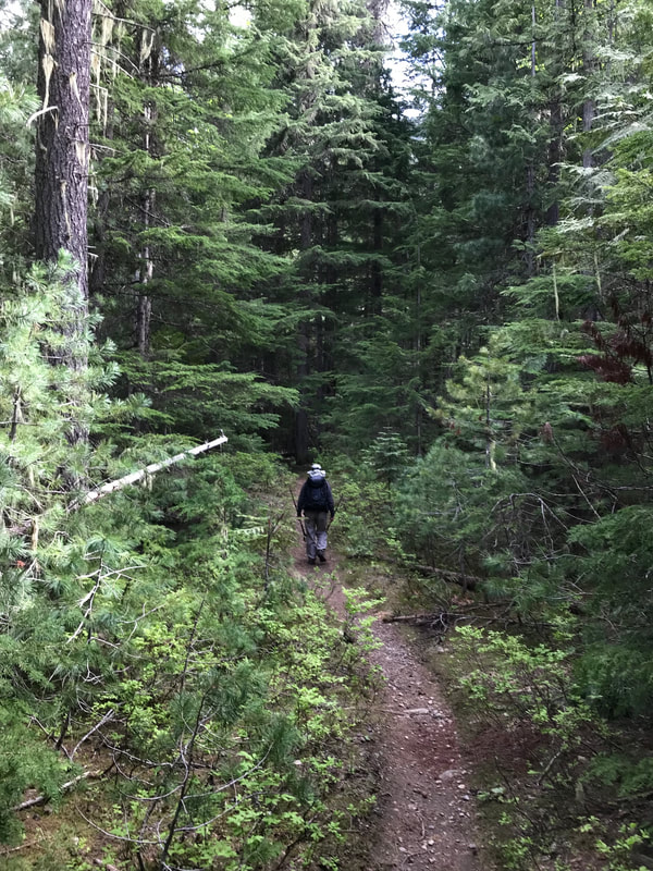
The remainder of the trail north is thru a thick forest, with two creeks to cross.
Trail #291 terminates at F.R. 1013, about 3.5 miles NW of Upper Priest Lake
.
DIRECTIONS:
At Nordman turn east onto Reeder Bay Road. Stay on the main road approx. 14 miles to Beaver Creek Campground. Turn right toward the campground then left uphill to the trailhead. Pull-through park available for trailers.
North on Hwy 57, Hwy 57 turns into graveled Forest Service Rd #302 approx. 4 miles past Nordman. Travel north on Rd. #302 approx. 14 miles until it turns into Rd. #1013 at the Granite Pass junction. The road to the trailhead is on the right side, located 5.5 miles up Rd. #1013. (1 mile past the Hughes Meadows turnoff.) Stock trailer parking available.
North on Hwy 57, Hwy 57 turns into graveled Forest Service Rd #302 approx. 4 miles past Nordman. Travel north on Rd. #302 approx. 14 miles until it turns into Rd. #1013 at the Granite Pass junction. The road to the trailhead is on the right side, located 5.5 miles up Rd. #1013. (1 mile past the Hughes Meadows turnoff.) Stock trailer parking available.
OPTION #1:
From the Navigation Campground, you can extend your hike a little over 6 miles or a totaling 12.1 miles , one way.
Trail #291 ends at F.R. 1013.
This route would be great for a kids backpack. Lots of places to swim, play, and fish.
Trail #291 ends at F.R. 1013.
This route would be great for a kids backpack. Lots of places to swim, play, and fish.
COOL THINGS CLOSE BY:
Trapper Creek CG, Hughes Meadows & ridge, American Falls, Snowy Top and Little Snowy Top peaks, Salmo-Priest Wilderness, Gypsy Peak, The Mollies, Granite Falls & CG, Roosevelt Grove of Ancient Cedars, BLACKTAIL MOUNTAIN.
HAZARDS:
Muddy and slippery trail if wet
R & P:
Burger Express in Priest River, Ardy's Cafe,
