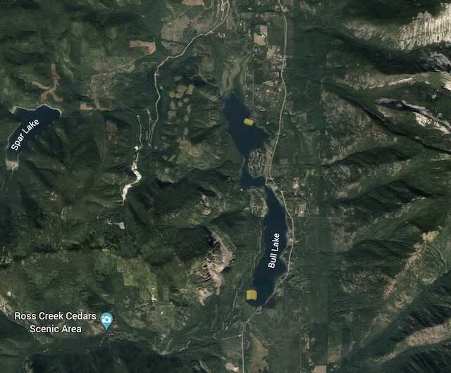
PADDLE DISTANCE: about 4.5 miles ELEVATION: 2320’ LENGTH AND ACREAGE: 4.5 miles and 1162 acres MAPS:Kootenai N.F., Bull Lake Topo LAUNCH GPS:, 48°16’20” N 115°513”. W LINCOLN COUNTY SHERIFF: 406.293.4112
DESCRIPTION:
The Dorr Skeel Camp Ground is located at the north end of Bull Lake. The Dorr Skeel C. G. is large, with many camp site, some on the shore line. The C. G. launch is located on the south end of the C.G.
ATTRACTIONS
This C. G. is located on the more quiet end of Bull Lake.
DIRECTIONS:
From the Hwy 200 and Hwy 56 junction, drive about 21.4 miles to the Dorr Skeel C. G. turn off.
COOL THINGS CLOSE BY:
The Halfway House Bar, the Cabinet Mountain Wilderness, Kootenai Falls, and Libby.