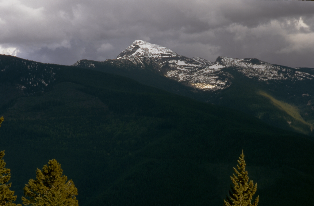
ENGLE PEAK 7583’ TRAIL #926
EVENT TYPE: Backpacking, hiking, and backcountry skiing
DISTANCE: 7.8 miles RT
ELEVATION GAIN: About 3489'
DIFFICULTY: Moderate due to 1500, in first mile.
MAPS: Kaniksu National Forest, Cabinet Mountain Wilderness and Goat Peak
GPS: 47°97’30” N -115°76’10”
RANGER DISTRICT: Cabinet R.D. 406.827.3533
SANDERS COUNTY SHERIFF: CALL 911 FIRST or 406.827.3684
DISTANCE: 7.8 miles RT
ELEVATION GAIN: About 3489'
DIFFICULTY: Moderate due to 1500, in first mile.
MAPS: Kaniksu National Forest, Cabinet Mountain Wilderness and Goat Peak
GPS: 47°97’30” N -115°76’10”
RANGER DISTRICT: Cabinet R.D. 406.827.3533
SANDERS COUNTY SHERIFF: CALL 911 FIRST or 406.827.3684
DESCRIPTION:
WE HAVE ADDED THE AREAS SHERIFF’S EMERGENCY PHONE NUMBERS FOR EACH TRIP WRITE UP UNDER THE RANGER DISTRICT INFO. IF AN EMERGENCY OCURRS, EVALUATE YOUR CIRCUMSTANCES AND CALL ONLY IF NEEDED.
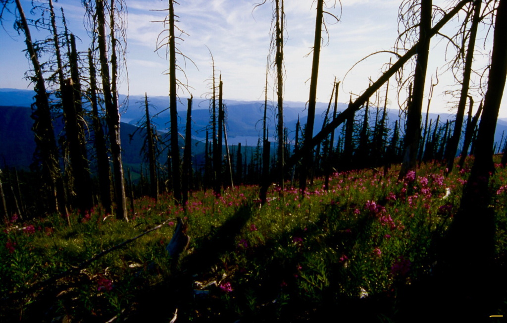
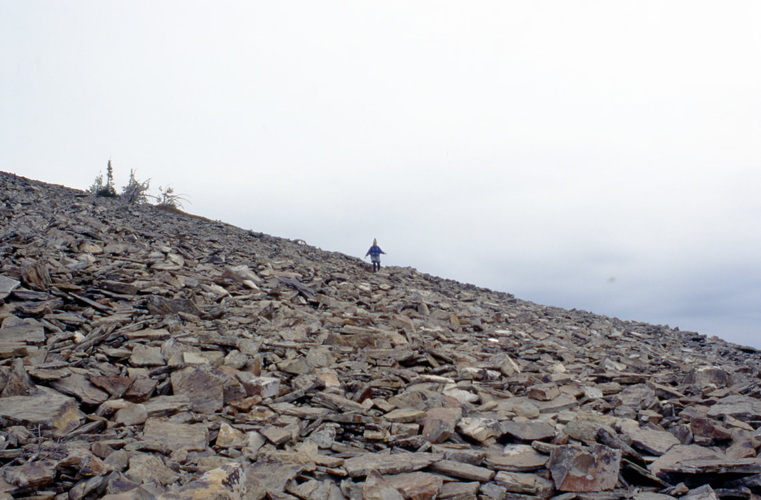
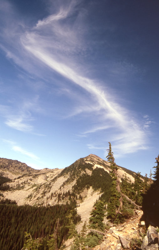
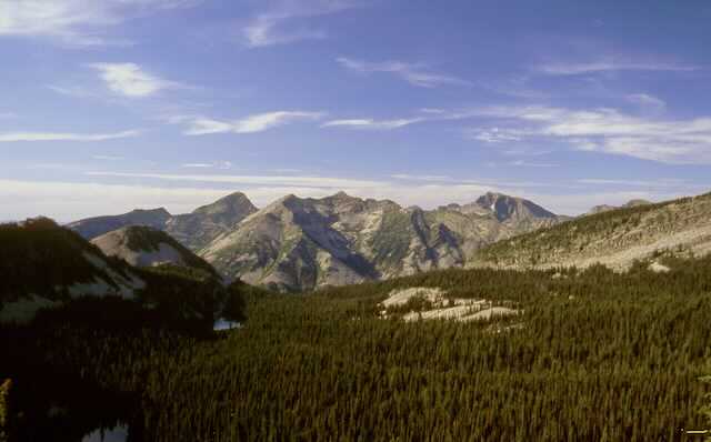
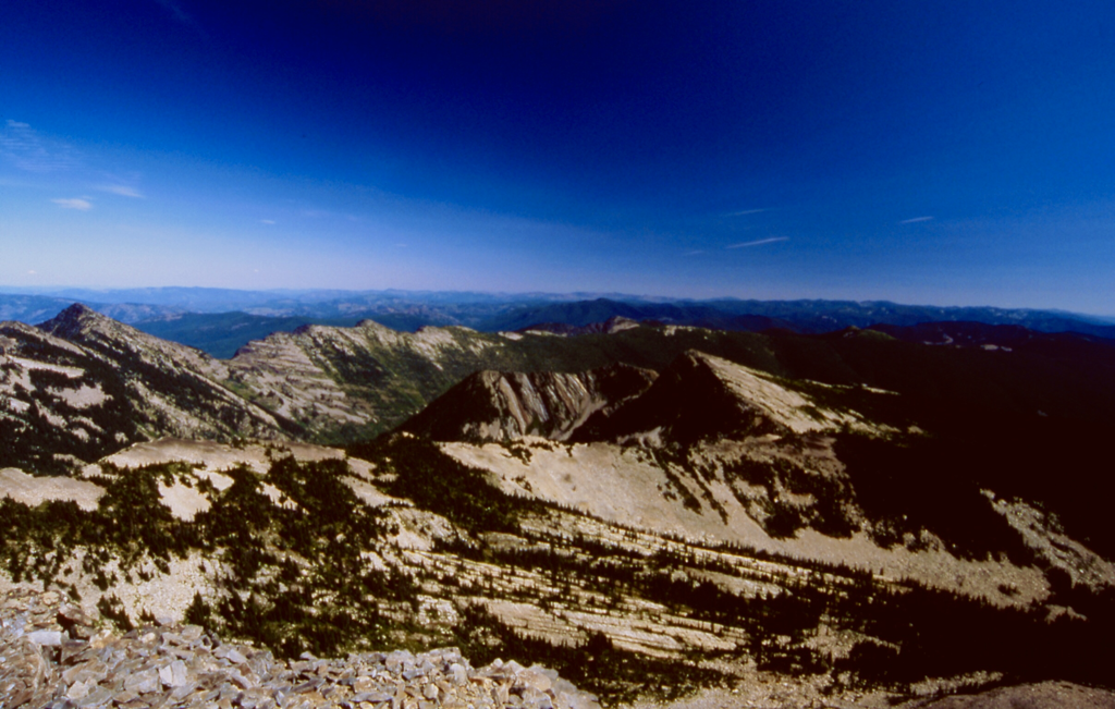
As you leave the trailhead, the challenge of this hike becomes evident. In the first mile it climbs 1500 vertical feet thru a dense forest. As the trail mellows it follows a ridge line that undulates thru a forest that got blown down in the 90's, then burned in 2000. Of course, Fireweed blankets the entire area along the ridge. As the ridge starts it's ascent towards the peak, you come across several rock scree slopes to pick your way thru. About a third the way up, the genius that designed the trail, shined. Kinda! When it is at its hottest and your sweating buckets, the narrow trail sneaks thru the only little ribbon of forest towards the summit. The last section of the trail winds around the summit twice before summiting. Then the views all around, will amaze you. To the right (east), but out of sight, is Wanless Lake. To the north, most of the tall peaks of the CMW stand proud. Retrace your step back to the cars.
As you leave the trailhead, the challenge of this hike becomes evident. In the first mile it climbs 1500 vertical feet thru a dense forest. As the trail mellows it follows a ridge line that undulates thru a forest that got blown down in the 90's, then burned in 2000. Of course, Fireweed blankets the entire area along the ridge. As the ridge starts it's ascent towards the peak, you come across several rock scree slopes to pick your way thru. About a third the way up, the genius that designed the trail, shined. Kinda! When it is at its hottest and your sweating buckets, the narrow trail sneaks thru the only little ribbon of forest towards the summit. The last section of the trail winds around the summit twice before summiting. Then the views all around, will amaze you. To the right (east), but out of sight, is Wanless Lake. To the north, most of the tall peaks of the CMW stand proud. Retrace your step back to the cars.
OPTION #1:
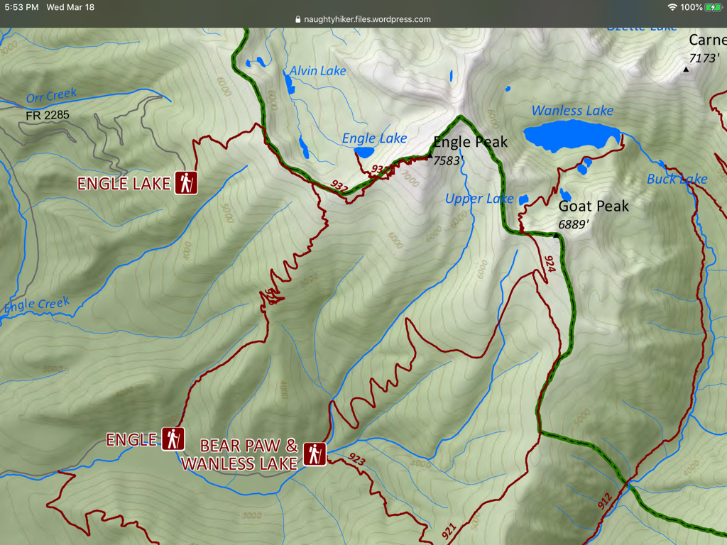
Follow the Engle Peak Trail #926 for about 3 miles to a junction with Trail #923. Turn left on 932 where the trail drops down to the seven lakes in about 400 vert.
DIRECTIONS:
Drive east of Clark Fork on Hwy #200 to milepost 17. About 2 miles east of Noxon, turn left onto Rock Creek Road # 150. Drive 4 miles to the Orr Creek Road #2285, and veer right for 7 miles and follow the road to the trailhead.
COOL THINGS CLOSE BY:
Engle Lakes, Rock Lake off in the distance below you, Wanless Lakes
R & P:
Henry’s, Pizza Hut, & The Shed in Libby.
Clark Fork Pantry & Squeeze Inn in Clark Fork,
Eicharts, Mr Sub, Burger Express, and Jalapeños in Sandpoint.
Clark Fork Pantry & Squeeze Inn in Clark Fork,
Eicharts, Mr Sub, Burger Express, and Jalapeños in Sandpoint.
