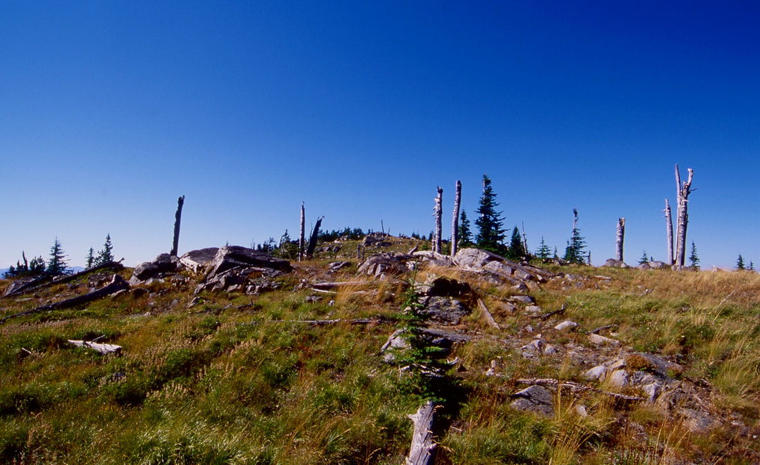
IRON MOUNTAIN 6426' Trails #180 & 176
EVENT TYPE: Hiking & backpacking
DISTANCE: About 11 miles RT
ELEVATION GAIN: 3420'
DIFFICULTY: Difficult
MAPS: IPNF-Kaniksu N.F., Clifty Mt, Leana
GPS: 48°54’49”N 116°41’06”W
RANGER DISTRICT: Sandpoint R.D. 208.263.5111
BONNER COUNTY SHERIFF: CALL 911 FIRST or 208.263.8417
DISTANCE: About 11 miles RT
ELEVATION GAIN: 3420'
DIFFICULTY: Difficult
MAPS: IPNF-Kaniksu N.F., Clifty Mt, Leana
GPS: 48°54’49”N 116°41’06”W
RANGER DISTRICT: Sandpoint R.D. 208.263.5111
BONNER COUNTY SHERIFF: CALL 911 FIRST or 208.263.8417
DESCRIPTION:
WE HAVE ADDED THE AREAS SHERIFF’S EMERGENCY PHONE NUMBERS FOR EACH TRIP WRITE UP UNDER THE RANGER DISTRICT INFO. IF AN EMERGENCY OCURRS, EVALUATE YOUR CIRCUMSTANCES AND CALL ONLY IF NEEDED.
The first thing to know about Iron Mountain, is the trail is steep. You can choose the direction you want to hike, depending on if you want to do the elevation gain or loss going up or down.
From the Boulder Creek Road #628 Trailhead, choose your route. The NW route, Trail #180 leads to a series of switchbacks as it heads towards Iron Mountain Divide. Keep in mind, you gain 3420 verts in 6 miles. Once at Iron Mountain, continue SSE on Trail #180 until it meets with Trail #176, the Slate Ridge.
At Trail #176, turn left (NE) and hike the Slate Ridge passed Buck Mountain and on to the trailhead and cars.
To do this loop counterclockwise, reverse the above.
OPTIONS 1:
After summiting Iron Mountain, continue to Trail #176. Turn right (south) on the Iron Mountain Divide to Boulder Mountain, Divide Lake, Middle Mountain, to Star Mountain, the end of the trail.
DIRECTIONS:
From the north side of Bonners Ferry, turn east on to Ash Street. Drive .4 of a mile, and bear left on Cow Creek FR 24, for .5 miles to a “Y” and bear left staying on FR #24 for 3 miles and turn left staying on FR#24. Continue on 24 for 11 miles to Road #408, and bear left onto Road 628. The trailhead is just past the Middle Fork Boulder Creek on your right.
COOL THINGS CLOSE BY:
Black Mountain, Clifty Mountain, Bonners Ferry, Kootenai N.W.R., Burton Peak, Shorty Peak, Lone Tree Peak, and West Fork Lake & Mountian. There is a waterfall on Smith Creek close to SH # 1.
HAZARDS:
Expect a very steep trail to Iron Mountain. The only reliable water source is the Middle Fork Boulder Creek, SE of Iron Mountain.
keep in mind, the down is 3420 verts.
keep in mind, the down is 3420 verts.
R & P:
Jalapeños, Sandpoint Eichardt's, Sandpoint Mr. Sub Sandpoint


