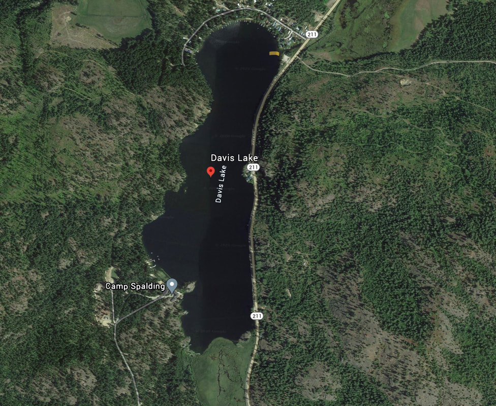
DAVIS LAKE LAUNCH
PADDLE DISTANCE: 2.7 mile shore line paddle, lake is 1.2 miles long
ELEVATION: 2182’
LENGTH AND ACREAGE:2.7 miles long, and 147.8 acres
MAPS: Washington D.F. & G.
LAUNCH GPS: 48°13’48” N 117°17'23" W
PEND ORIELLE COUNTY SHERIFF: 509.447.3151
ELEVATION: 2182’
LENGTH AND ACREAGE:2.7 miles long, and 147.8 acres
MAPS: Washington D.F. & G.
LAUNCH GPS: 48°13’48” N 117°17'23" W
PEND ORIELLE COUNTY SHERIFF: 509.447.3151
DESCRIPTION:
WE HAVE ADDED THE AREAS SHERIFF’S EMERGENCY PHONE NUMBERS FOR EACH TRIP WRITE UP UNDER THE RANGER DISTRICT INFO. IF AN EMERGENCY OCURRS, EVALUATE YOUR CIRCUMSTANCES AND CALL ONLY IF NEEDED.
Davis Lake is small, but has a nice shore line to paddle. Hwy 211 skirts the east shore and has a few places to get out and swim.
Davis Lake is small, but has a nice shore line to paddle. Hwy 211 skirts the east shore and has a few places to get out and swim.
ATTRACTIONS
Relatively quiet lake with houses on the north end, and Camp Spalding at the other end.
DIRECTIONS:
Drive Hwy 2 north towards Newport. A short distance past the Pend Orielle County Park, turn left (N) onto Hwy 211past Sacheen Lake to Davis Lake.
COOL THINGS CLOSE BY:
Newport, Pend Orielle River, Horseshoe Lake, Pend Orielle County Park, Diamond Lake, and Priest River, Idaho.
R & P:
NA


