RED TOP MOUNTAIN 6266' TRAIL #102
EVENT TYPE: Hiking and Backpacking
DISTANCE: 1 mile to Hidden Lake one way and 7.5 miles RT to Red Top
ELEVATION GAIN: 1275'
DIFFICULTY: Easy to the lake and moderate to the peak
MAPS: IPNF - Kaniksu N.F., USGS - Grass Mt. and Shorty Peak
GPS: 48° 54’ 49.0”N 116° 41’ 06.6”W
RANGER DISTRICT: Bonners Ferry R.D. 208.267.5561
BOUNDARY COUNTY SHERIFF: CALL 911 FIRST or 208.67.3151
DESCRIPTION:
WE HAVE ADDED THE AREAS SHERIFF’S EMERGENCY PHONE NUMBERS FOR EACH TRIP WRITE UP UNDER THE RANGER DISTRICT INFO. IF AN EMERGENCY OCURRS, EVALUATE YOUR CIRCUMSTANCES AND CALL ONLY IF NEEDED.
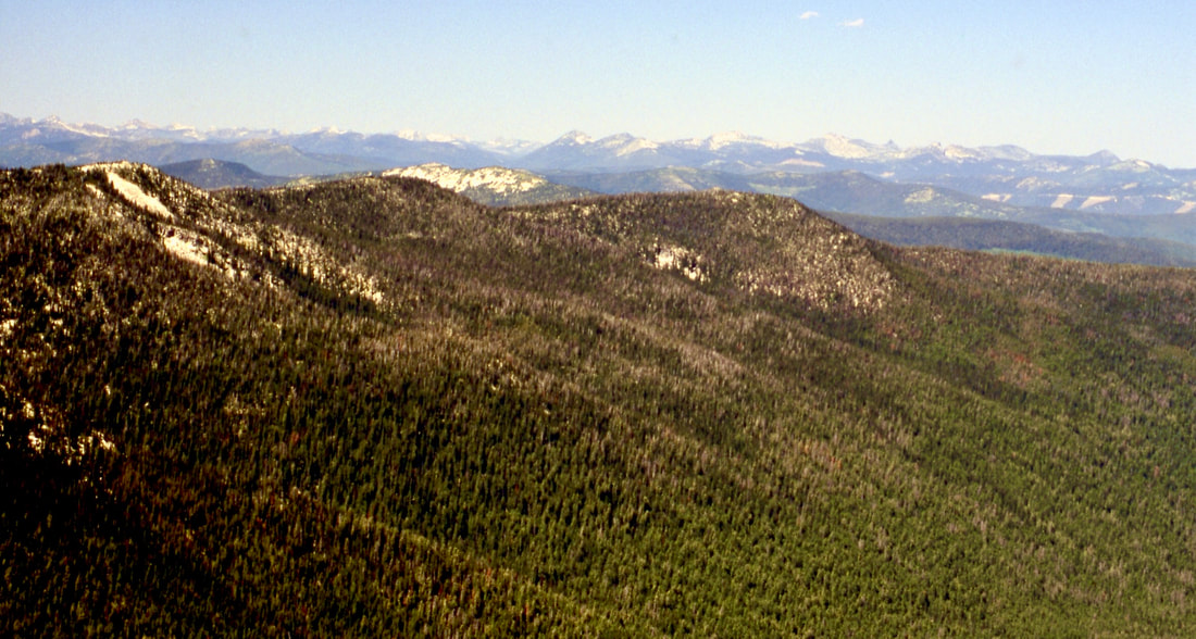
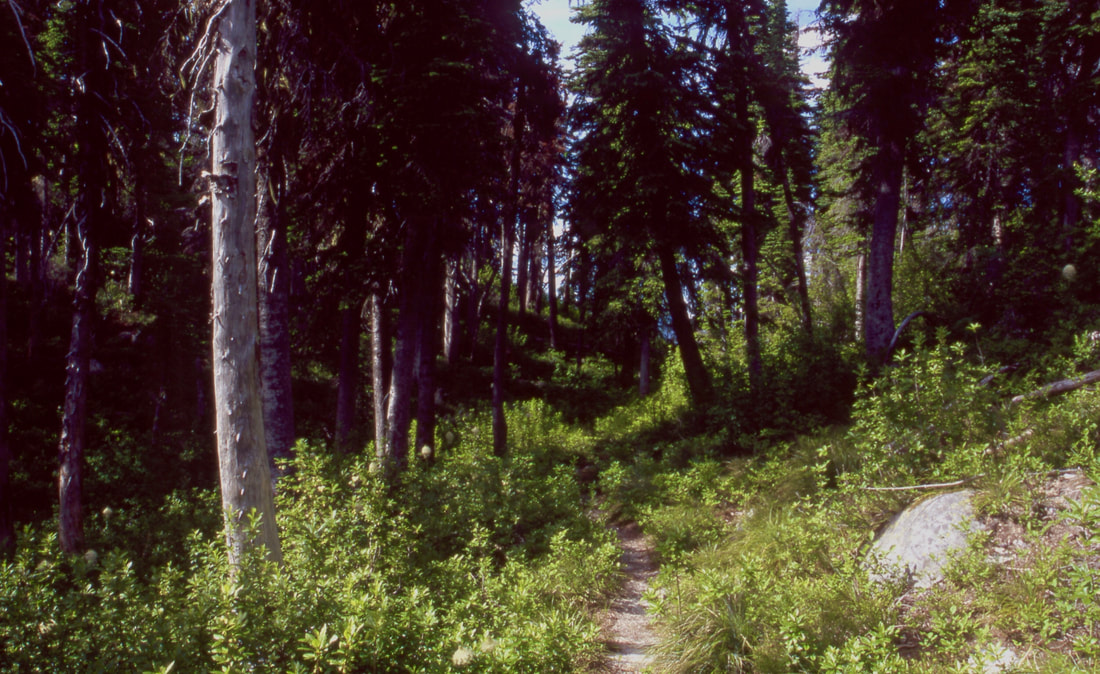
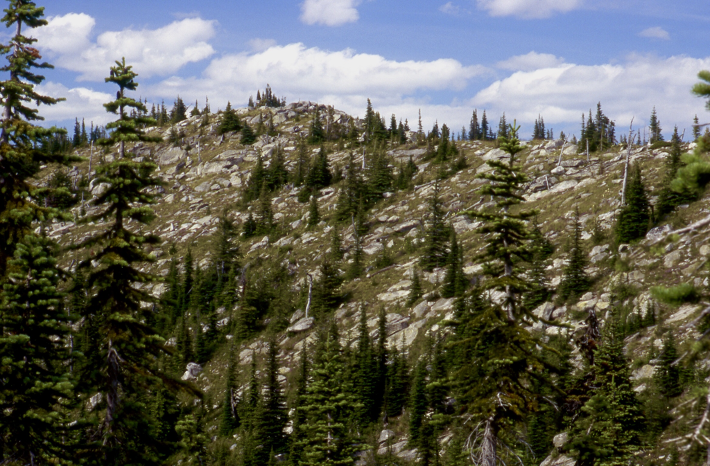
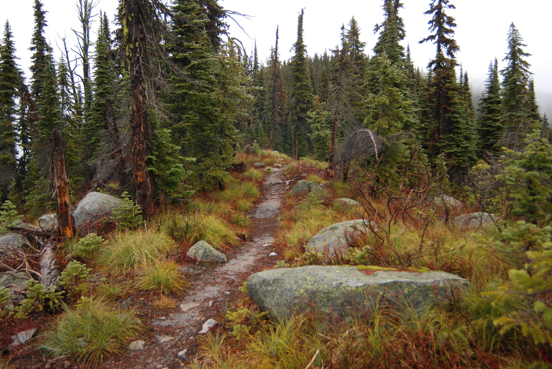
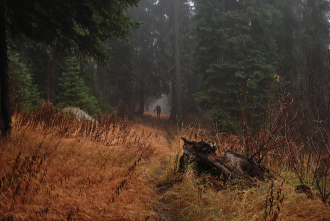
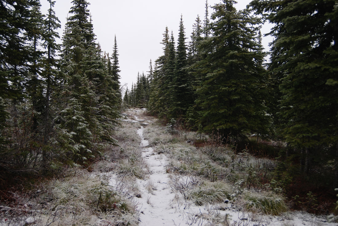
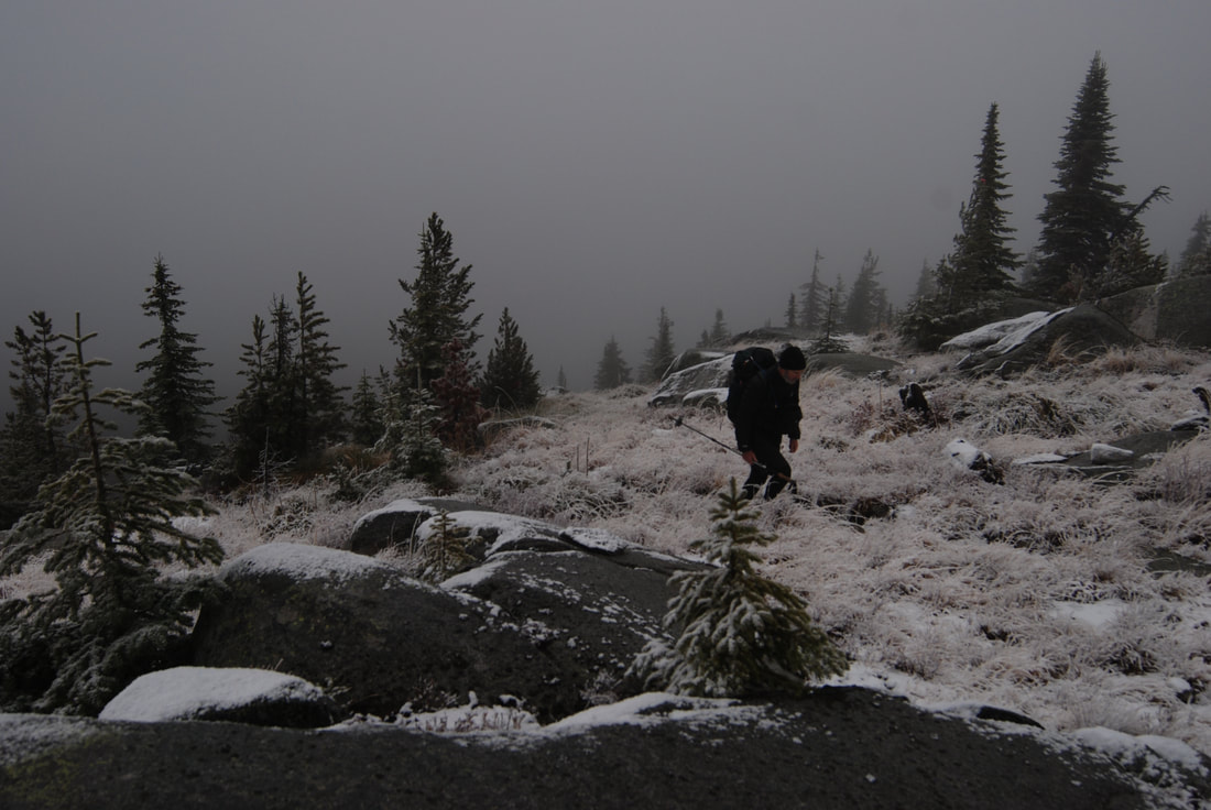
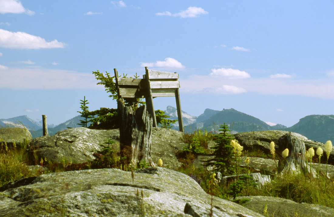
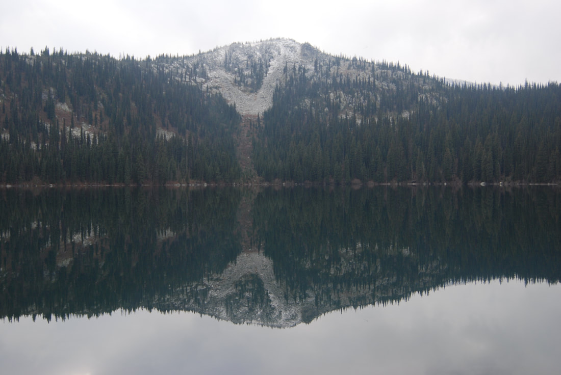
The trail to Hidden Lake is easy, and moderate to the peak. Most people don't venture past the lake, where there is good fishing and swimming, so the peak trail is seldom used. On the trail above Hidden Lake the views across the lake are of Joe Peak 6748'. Red Top offers views of the northern section of the American Selkirks.
The trail to Hidden Lake is easy, and moderate to the peak. Most people don't venture past the lake, where there is good fishing and swimming, so the peak trail is seldom used. On the trail above Hidden Lake the views across the lake are of Joe Peak 6748'. Red Top offers views of the northern section of the American Selkirks.
OPTIONS 1:
From the top, the trail begins a 4 mile descent to Road #281. It leaves the ridge and drops back into forested habitat with lots of huckleberries, while in season.
DIRECTIONS:
From Bonners Ferry drive north on 95 for 15 miles to SH #1. Turn left (west) and drive thru Copeland and over the Kootenai River on FR #281 to the West Side Road #417. Turn left (south) onto FR #281, to FR #2545 to the trailhead.
COOL THINGS CLOSE BY:
Shorty Peak, Lone Tree Peak, and West Fork Lake & Mountian. There is a waterfall on Smith Creek close to SH # 1.
HAZARDS:
None of note.
R & P:
Jalapeños, Eichardt’s, Burger Express, Mr. Sub in Sandpoint
