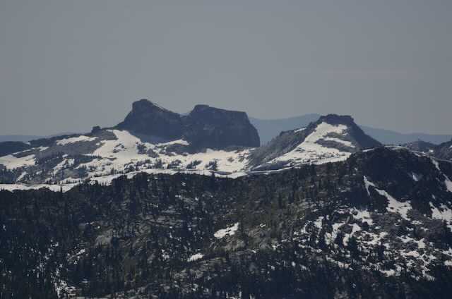
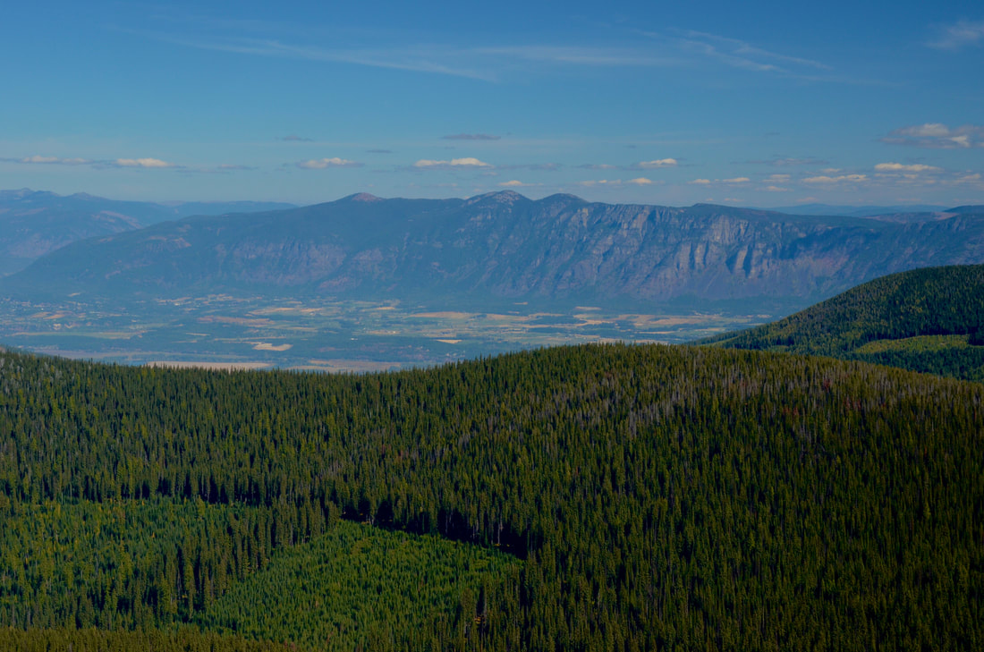
FISHER PEAK 7580’ TRAIL #27
EVENT TYPE: Day hiking, backpacking, scenery, and possibly mt biking for the hearty.
DISTANCE: 14 miles RT
ELEVATION: Less then 3000’
DIFFICULTY GAIN: Difficult
MAPS: IPNF, Pyramid Peak topo
GPS: 48°9’8” N 116°31’31” W
RANGER DISTRICT: Bonners Ferry R.D. 208.267.5561
BOUNDARY COUNTY SHERIFF: CALL 911 FIRST or 208.267.3151
DISTANCE: 14 miles RT
ELEVATION: Less then 3000’
DIFFICULTY GAIN: Difficult
MAPS: IPNF, Pyramid Peak topo
GPS: 48°9’8” N 116°31’31” W
RANGER DISTRICT: Bonners Ferry R.D. 208.267.5561
BOUNDARY COUNTY SHERIFF: CALL 911 FIRST or 208.267.3151
DESCRIPTION:
WE HAVE ADDED THE AREAS SHERIFF’S EMERGENCY PHONE NUMBERS FOR EACH TRIP WRITE UP UNDER THE RANGER DISTRICT INFO. IF AN EMERGENCY OCURRS, EVALUATE YOUR CIRCUMSTANCES AND CALL ONLY IF NEEDED.
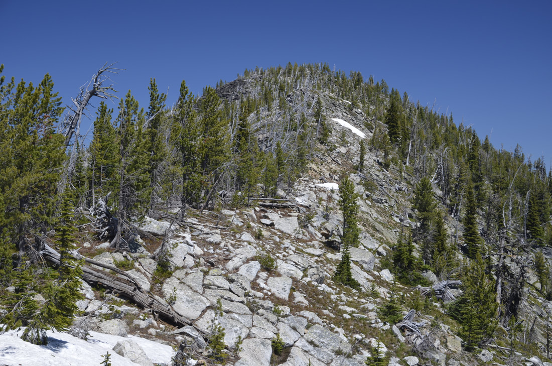
Trail #27 starts at 4145’ on F. R. #634, Trout Creek Road, or the road to Pyramid Peak. The first thing you will notice, is the trail is not too steep, but relentless to the summit. The trail received some improvements in 2012, which helps with the up. There are about 25+ switchbacks to the summit.
In less then a mile from the trailhead, the trail crosses a stream that could be tricky during runoff. This stream is the only water source on this hike.
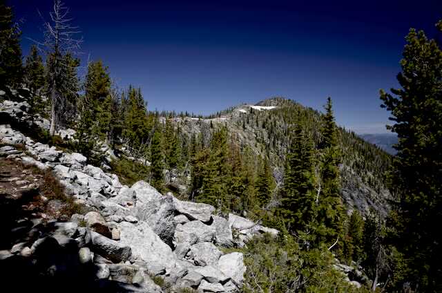
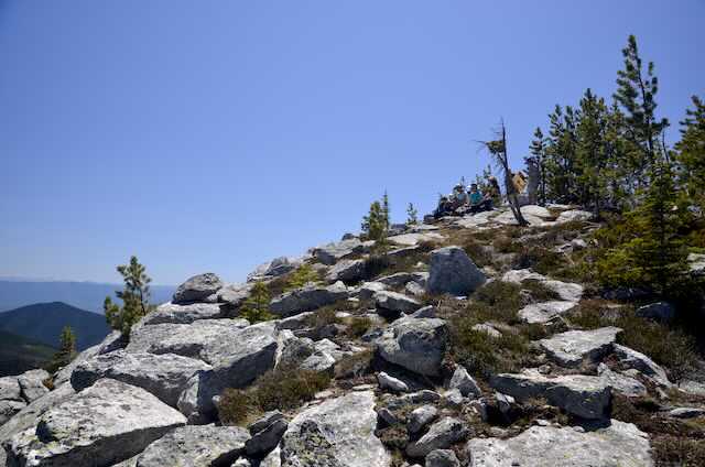
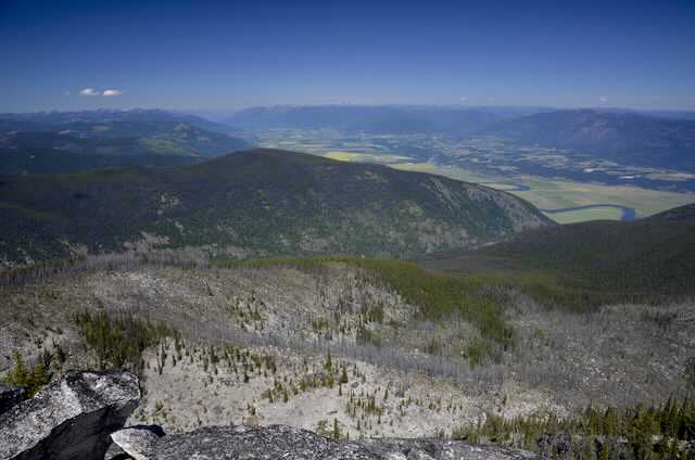
A clear cut and road is crossed at about 2 miles. After 14 switchbacks you will be hiking on Farnham Ridge. Up near the real summit, and just past 2 false summits, the trail becomes less relentless, and the views become unbelievable. To the north is Creston, B.C., with the Kootenai River flowing thru it.
OPTION #1:
Instead of hiking the trail down for about 1.3 miles, stay up on Farnham Ridge to the right (west) along a ridge line.. Off to the SW is a nondescript knoll that is the highest point in the American Selkirks, at 7709’.
When you notice the trail is fading from view, chicwack east down to the trail.
When you notice the trail is fading from view, chicwack east down to the trail.
DIRECTIONS:
While driving thru Bonner’s Ferry, turn left (west) onto Riverside Street, just before the Kootenai River Bridge. Drive 5 miles to the West Side RoadF.R.#18, turn right (north) to the Kootenai National Wildlife Refuge. There’s a read room here. In about 15 miles past the K.N.W.R., turn left (west) onto he Trout Creek Road # 634. Drive another 5.3 miles to the pull off for parking
HAZARDS:
This trail isn’t too steep, but is relentless the whole 6.5 miles.
THERE IS NO WATER UP HIGH.
THERE IS NO WATER UP HIGH.
COOL THINGS CLOSE BY:
Parker Peak, Trout Lake & Big Fisher Lake, Pyramid Peak, and Pyramid Lake & Ball Lakes.
R & P:
Eichardt’s, Mr Sub, BURGER EXPRESS, jalapeños in Sandpoint.
PLAN YOUR TRIP:
Click for Current NOAA Weather Conditions
