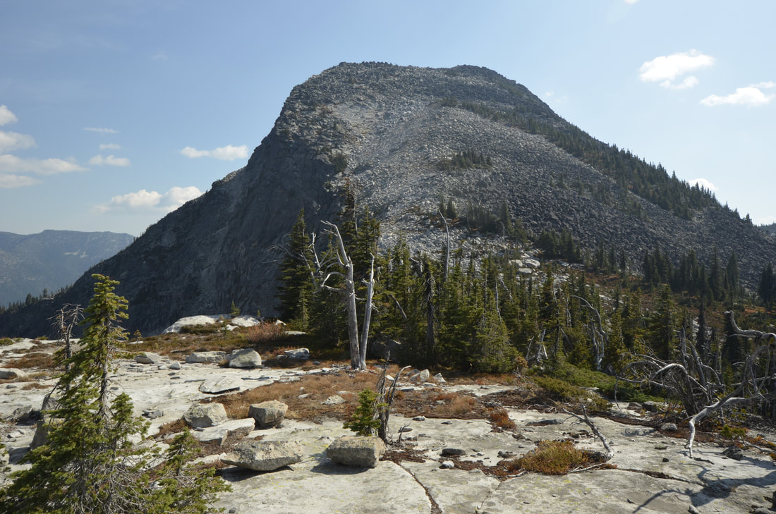
CUTOFF PEAK 6844' AND SMITH PEAK'S 7653’ NORTH RIDGE
EVENT TYPE: Hiking, backpacking and equestrian. Maybe some mt biking to Cutoff Peak, but the very long ridge towards Smith Peak has many blow downs, and no trail. Yahooo DISTANCE: Cutoff Peak about 6 miles RT. Smith Peak from Cutoff Peak 8 miles RT ELEVATION: To Cutoff Peak 1440' gain To Smith Peak about 2700'+ DIFFICULTY: Moderate to Cutoff Peak Difficult to Smith Peak MAPS: IPNF - Kaniksu N.F., USGS - Shorty Peak & Smith Peak GPS: 48° 53’ 46.0”N 116° 38’ 41.5”W EANGER DISTRICT: Bonners Ferry R.D. 208.267.5561 BOUNDARY COUNTY SHERIFF: CALL 911 FIRST or 208.267.3151
DESCRIPTION:
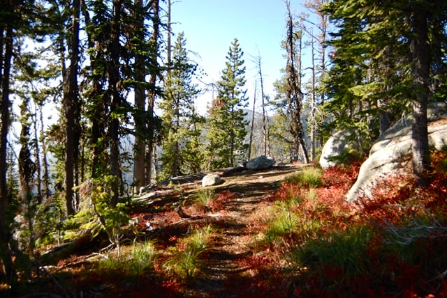
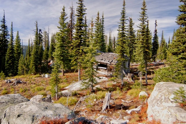
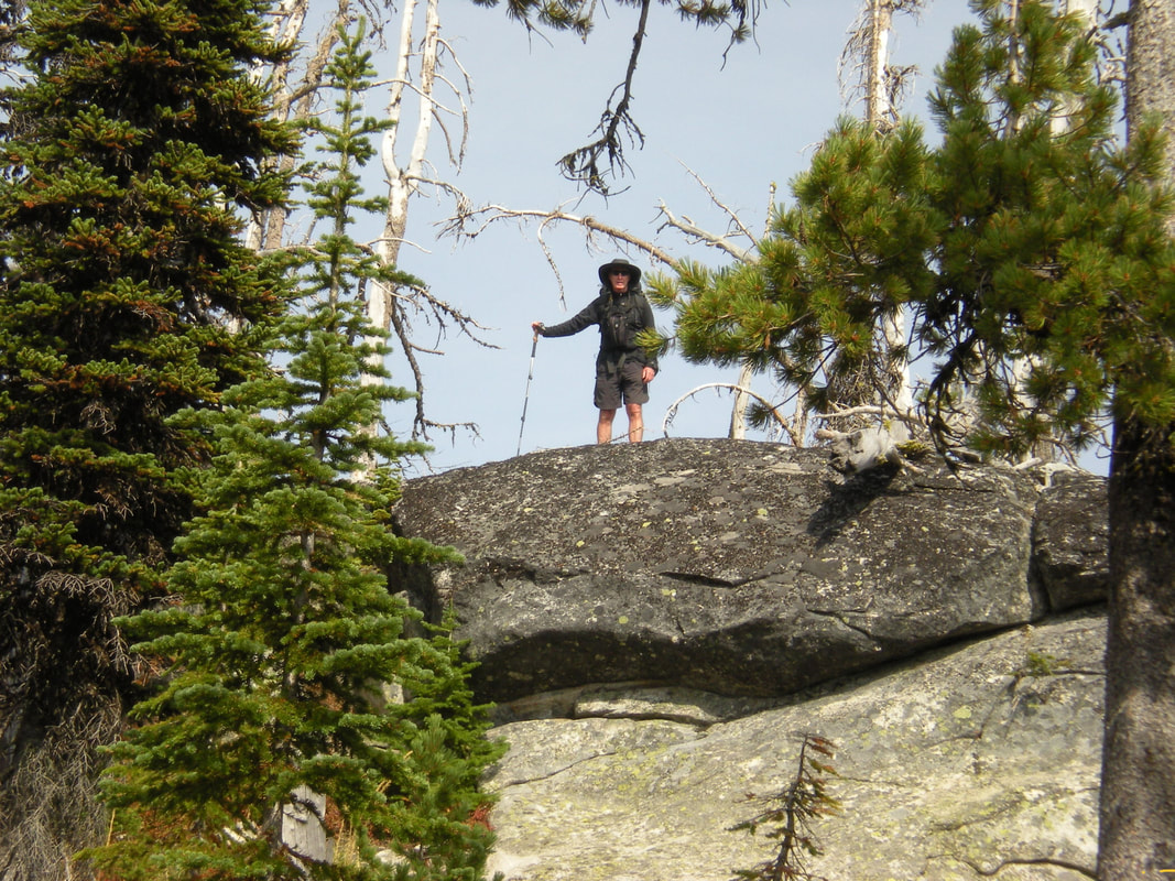
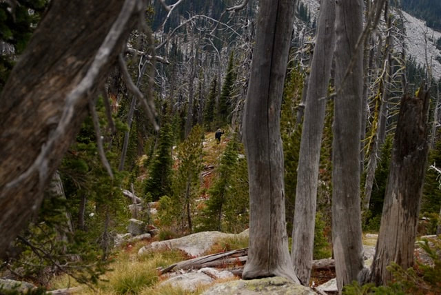
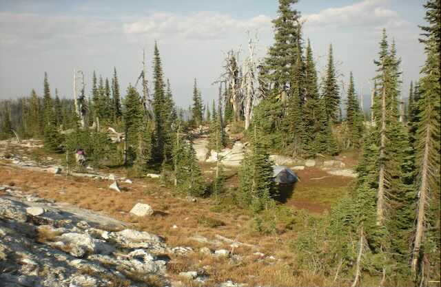
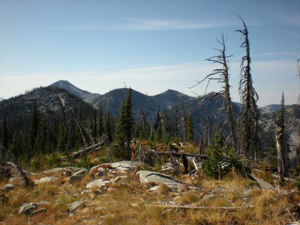
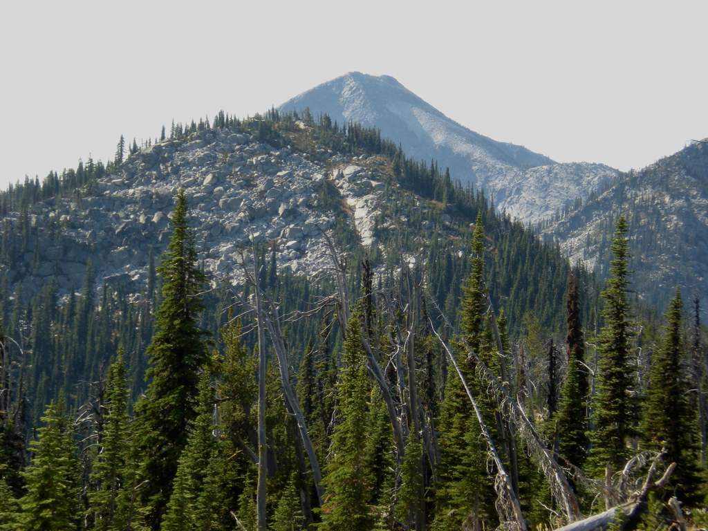
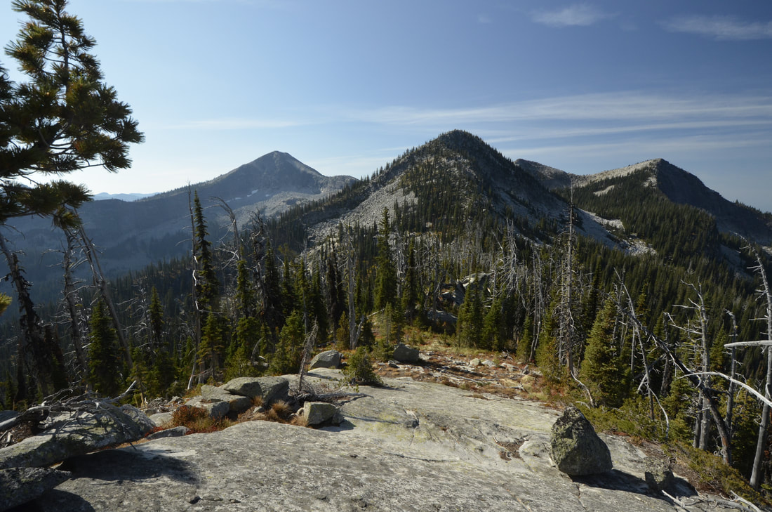
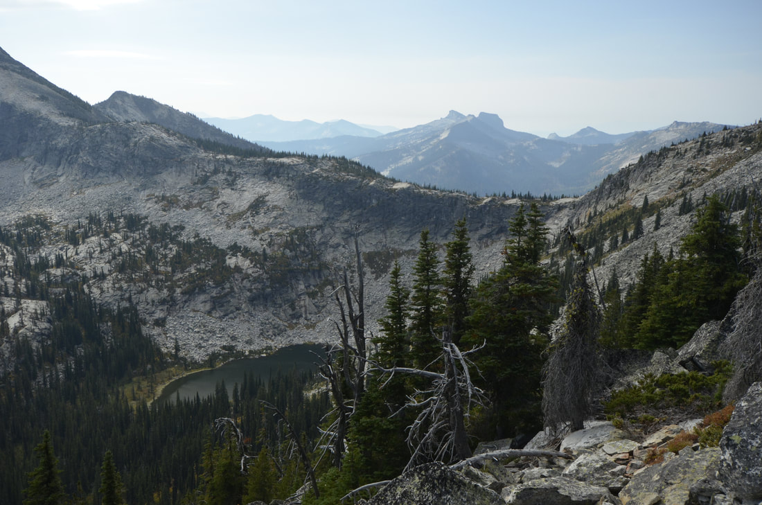
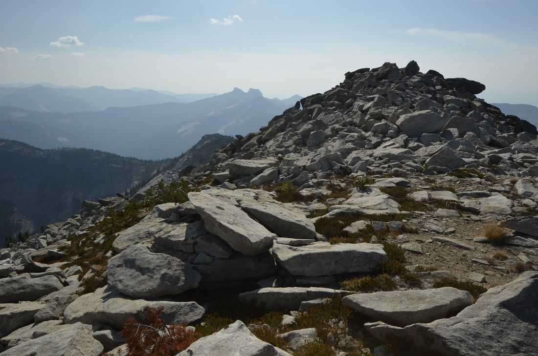
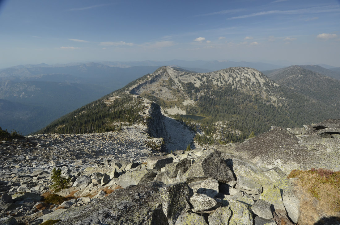
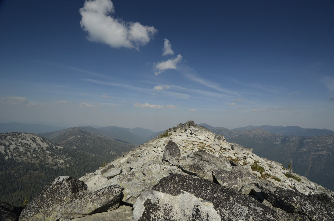
WE HAVE ADDED THE AREAS SHERIFF’S EMERGENCY PHONE NUMBERS FOR EACH TRIP WRITE UP UNDER THE RANGER DISTRICT INFO. IF AN EMERGENCY OCURRS, EVALUATE YOUR CIRCUMSTANCES AND CALL ONLY IF NEEDED. The first part of this trail is on an old roadbed for about .5 miles, then picks up Trail #17 for about 2.5 miles to Cutoff Peak. Along this section of the trail, it climbs steeply to a ridge top, with views of Cutoff Peak in the distance. A short distance on the ridge, Trail #17 meets up with Trail #18. As the trail continues south, it skirts Cutoff Peak and summits on the south flank. Once on the ridge, head north a short distance to a dilapidated old cabin. Wander about this area to the east for views of the Long Canyon drainage. Once back on Trail #18, the trial undulates to a higher point, where there is an excellent camp site. Although there is no trail to Smith Peak 4 miles one way, the ridge is wide and spectacular. There are several bumps along the ridge before a taller one closer to Smith Peak. About half way up this bump, there is a route to skirt the bump towards Smith Peak. As you access the saddle below Smith Peak and start climbing, you should skirt the NW side of Smith Peak to the west side. From here it's just a scramble up thru the trees and scree to the summit.
DIRECTIONS:
Drive north past Bonners Ferry to State Highway 1 and follow it for about a mile to the Copeland turn off onto SH #45. In another mile bear left (west) across the Kootenai River to the West Side Road # 417. Turn right (NW) for 9 miles and stay to the left that switchbacks onto the Smith Creek Road #281. Road 281 is paved for about 6.5 miles, where you will turn left ( east) onto FR # 2443. Continue for 6.6 miles to the trailhead.
HAZARDS:
Once past Cutoff Peak, there is no real “trail”, just a wide ridge line to stay centered on. There is no water source along this route. Carry more then you will need.
COOL THINGS CLOSE BY:
Red Top Mt, Shorty and Lone Tree Peaks, and West Fork Lake.
R & P:
Jalapeños, Mr. Sub, Burger Express, Eichardt’s in Sandpoint