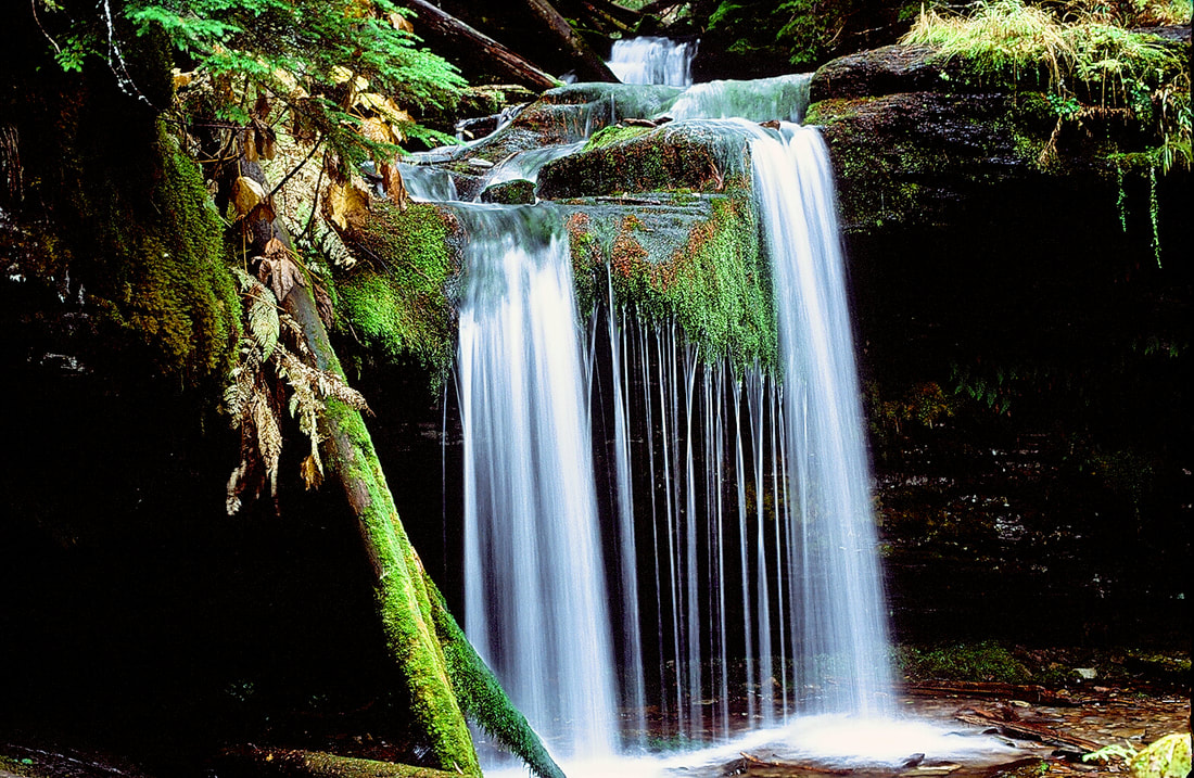
WATERFALL : Fern & Shadow Falls DROP: Fern 15'. Shadow 25' WATERFALL TYPE: Both are Plunge types DISTANCE CAR TO FALLS: .7 miles MAPS: I.P.N.F., CDA River Ranger District 208.664.2388 or 208.783.2363, Pond Peak topo GPS: 47°45’32” N 116°06’17” W
DESCRIPTION:
THE ROAD TO THESE FALLS ARE IN POOR CONDITION AND REQUIRE A HIGH CLEARANCE VEHICLE. As you approach Fern Falls is first falls you see. Stop here and photograph the falls from all around. Including the creek below with the falls in the background, offers some great shots. To reach Shadow Falls, follow the path on the left up to Shadow. This falls is taller and and you can walk behind it . On a hot day, its a nice shower to cool off.
OPTION #1:
Centennial Falls is really only real cool during heavy runoff. But as long as you are at Fern & Shadow Falls, Centennial Falls is in the vicinity.
DIRECTIONS:
THE RIAD TO THESE FALLS ARE IN POOR CONDITION, AND REQUIRE A HIGH CLEARANCE VEHICLE.
From Coeur d¿Alene, Idaho drive east on I-90 taking Kingston Exit #43. After exiting, travel north on Forest Highway 9 (FH9) 23.1 miles to Forest Road #208 (FR208). Continue on FR208 for 14.4 miles to FR2367 Beetle Creek Road. From the turn-off on FR2367 follow the signs to Shadow Falls. It is approximately 4.5 miles to the 7-car parking lot located at the trailhead. Centennial Falls Trail #400...Heading East on I-90 take the Kingston Exit and drive for 39 miles on the CDA River Road. Immediately after the 39 mile marker you will take a left onto the Flat Creek Road #400. Stay on this bumpy road and follow it over two bridges. You will find the trailhead on a corner with a sign posted.
COOL THINGS CLOSE BY:
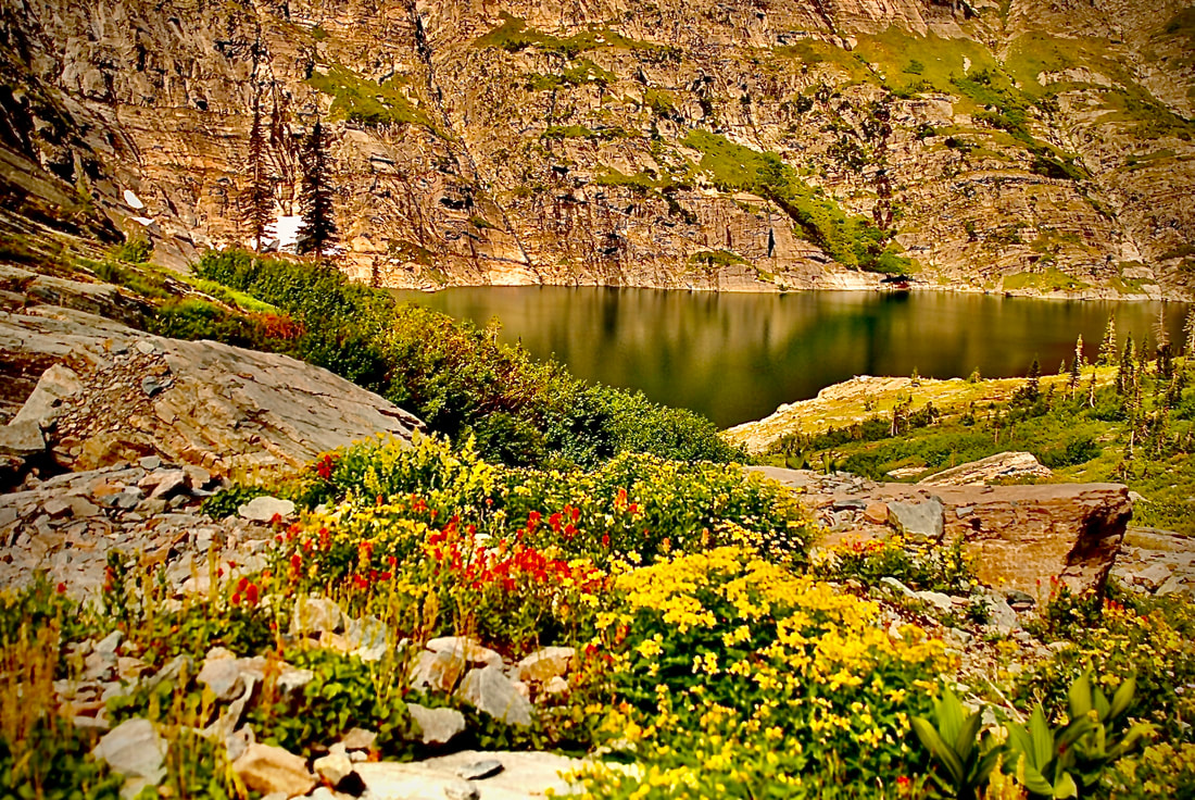
Little Guard Lookout, Spion Top Rocks, CDA River N.R.T., Bloom Peak, and Settlers Grove of Ancient Cedars,
HAZARDS:
ALL WATERFALLS ARE A HAZARD, DUE TO THEIR SLIPPERY NATURE. ALWAYS BE EXTRA CAREFUL NEAR ANY WATERFALL.
R & P:
The Snake Pit, Radio Brewery, Moon Time, and Mexican Food Factory.