COLUMBIA NATIONAL WILDLIFE REFUGE 1,000’
EVENT TYPE: Hiking, Birding
DISTANCE: 3 miles
ELEVATION: 200' gain and loss
DIFFICULTY: Easy
MAPS: USGS Soda Lake and O'Sullivan Dam
GPS: 46° 53’ 56.2”N 119° 15’ 57.4”W
MANAGING AFENCY: U.S. Fish & Wildlife Service 509.546.8300
GRANT COUNTY SHERIFF: 509.754.2011
ADAMS COUNTY SHERIFF: CALL 911 FIRST or 508.659.1122
DISTANCE: 3 miles
ELEVATION: 200' gain and loss
DIFFICULTY: Easy
MAPS: USGS Soda Lake and O'Sullivan Dam
GPS: 46° 53’ 56.2”N 119° 15’ 57.4”W
MANAGING AFENCY: U.S. Fish & Wildlife Service 509.546.8300
GRANT COUNTY SHERIFF: 509.754.2011
ADAMS COUNTY SHERIFF: CALL 911 FIRST or 508.659.1122
DESCRIPTION:
WE HAVE ADDED THE AREAS SHERIFF’S EMERGENCY PHONE NUMBERS FOR EACH TRIP WRITE UP UNDER THE RANGER DISTRICT INFO. IF AN EMERGENCY OCURRS, EVALUATE YOUR CIRCUMSTANCES AND CALL ONLY IF NEEDED.
Facts
Hiking
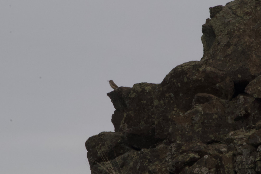
Birding
Bird Counts
Facts
- 75,000 individual waterfowl roost and loaf here
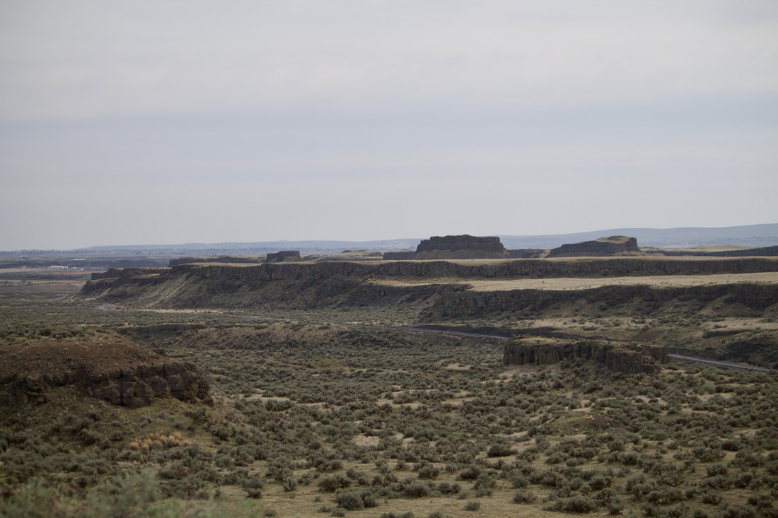
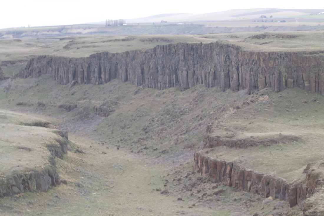
- 50,000 square miles of Washington, Oregon and Idaho are covered in basalt
- In places the basalt is nearly three miles thick
- Lake Missoula covered 3,000 square miles, and contained an estimated 500 cubic miles of water at a maximum depth of 2,000
- The flow rate of the flood is estimated at 600 million cubic feet per second
- There may have been as many as 100 separate flood events
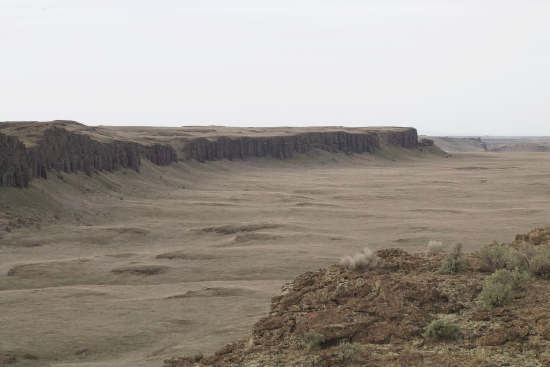
- The Drumheller Channels National Natural Landmark area is one of the most spectacularly eroded areas of its size in the world
- Moses Lake 15 miles to the north was one of the largest permanent Indian encampments. Upto 6,000 people lived or traded here including tribes from the Dakotas, Montana and the Pacific coast.
- The local Sinkiuse-Columbia Tribe exchanged Columbia River salmon, camas roots and fiber from dogbane with the other tribes
Hiking
- The areas including Marsh Loop, Crab Creek, Frog Lake and Upper/Lower Hampton Lake are closed for hiking October 1 to March 1
- The area around Royal Lake is closed year round
- Marsh Unit #1 and Corfu Road fields are closed February 1 to April 30
- The Mesa west of Marsh Unit #2 is open year round and is adjacent to Washington Department of Fish and Wildlife areas that appear to be open to the public use
Birding
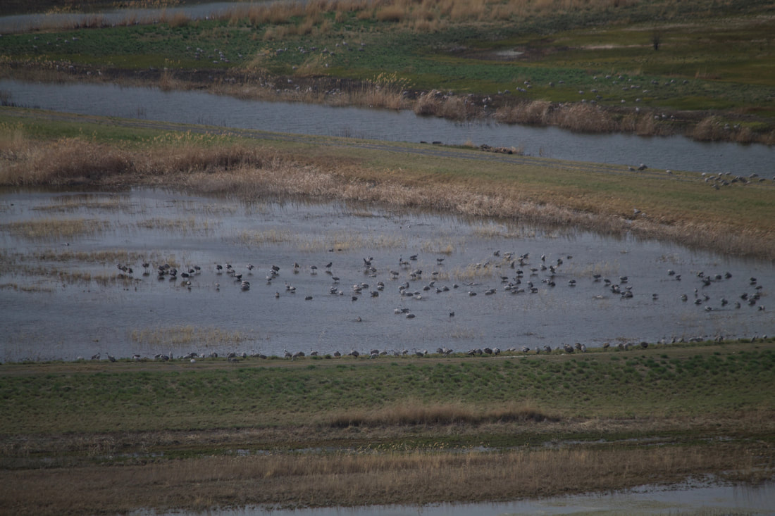
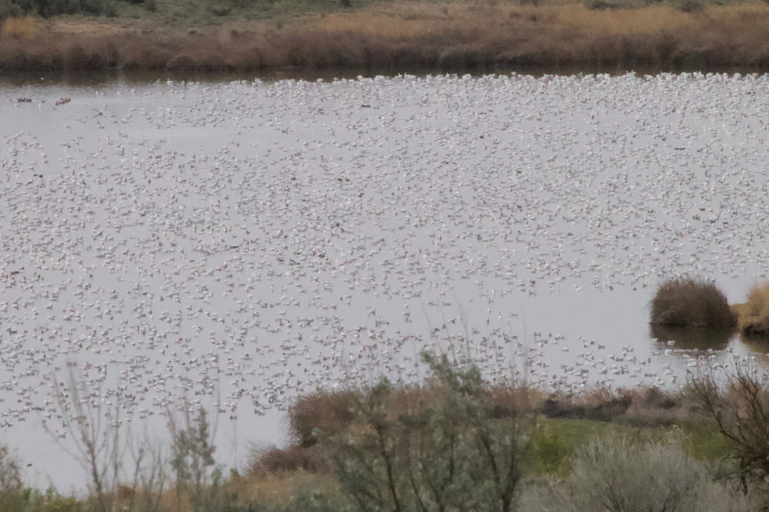
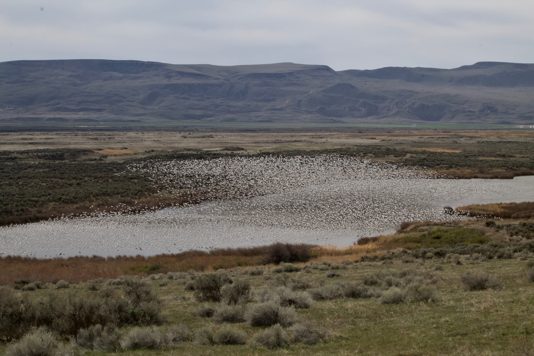
- Royal Lake offers the best viewing of large numbers of birds from a distance
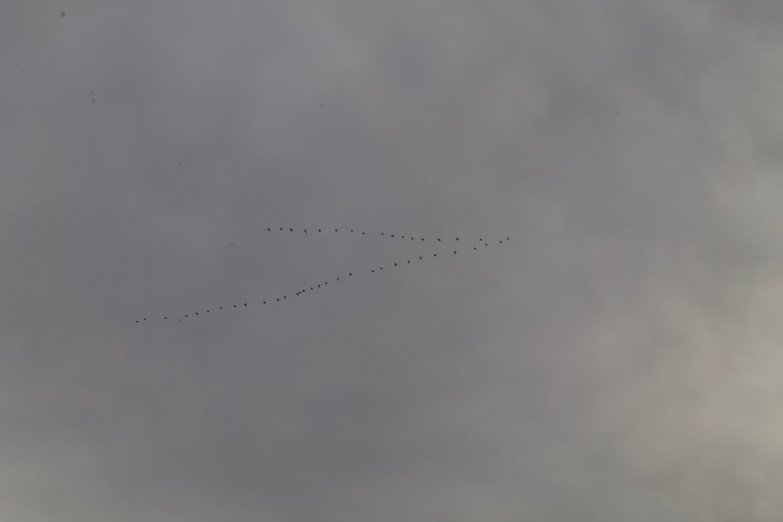
- Marsh Unit #1 has large numbers of Sandhill Cranes between February 1 and April 30 again from a distance
- Fields planted in corn last year will attract birds this year
Bird Counts
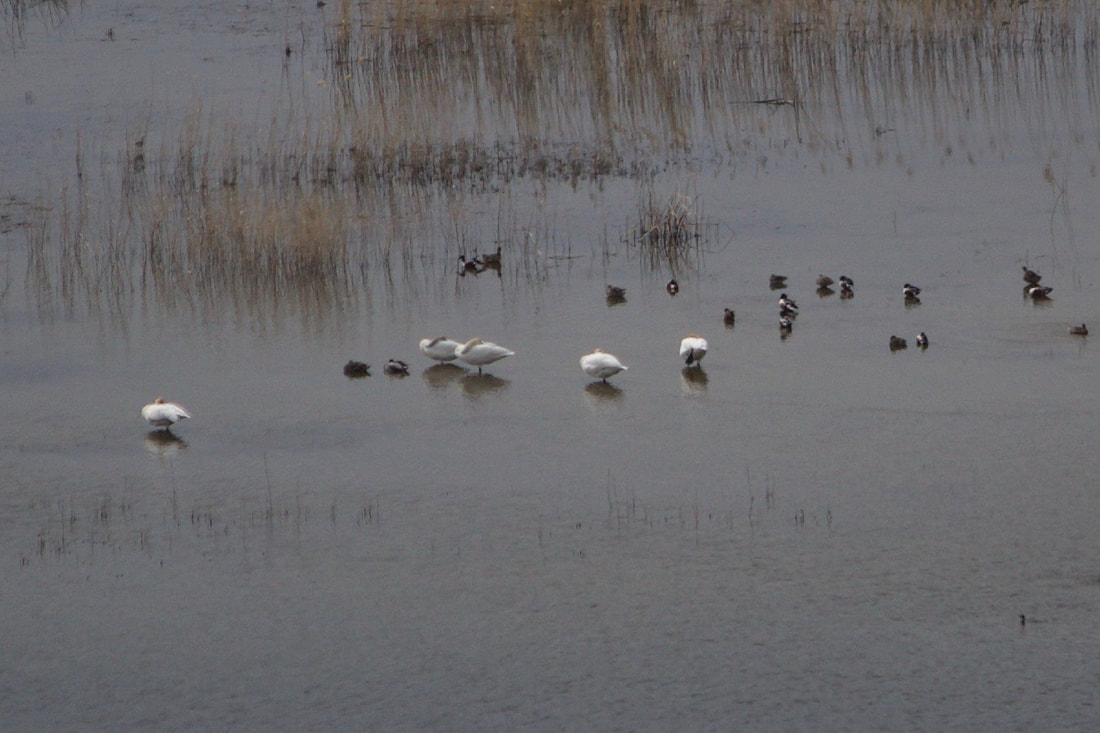
- Thousands of Snow Geese
- Hundreds of Sandhill Cranes
- Hundreds of A. Coots
- Hundreds of Canada Geese
- Tens of Pin Tail Ducks
OPTION #1:
Bring a chair and a picnic lunch to Royal Lake and sit, watch and listen
OPTION #2:
Hike cross country on the Mesa west of the parking lot for Marsh Unit #2
OPTION #3:
Hike north cross country from the Hampton Lake boat launch
DIRECTIONS:
Take I-90 to exit 182, turn left onto Rd O NE, turn right onto Rd 2 SE, turn left onto Rd M SE, turn right onto WA-262 W, follow that for 2.5 miles and just before the dam turn left into the Refuge.
Click on the right arrow in the upper left hand corner of the map below to reveal the map legend
COOL THINGS CLOSE BY:
Othello hosts a three day Sandhill Crane Festival. Info is available here: www.othellosandhillcranefestival.org. Othello Mesas and Dry Creek Trail, Hanford Reach, Potholes Reservoir S.P.
HAZARDS:
Rattlesnakes
R & P:
If you like Mexican food Chuy’s Mi Carniceria will have just about anything you want including desserts, fresh fruits and hot food to go.
