STEVENS PEAK 6838'
EVENT TYPE: Hiking, Backcountry Skiing, Snowshoeing
DISTANCE: 9.3 Miles RT
ELEVATION: 2878 verts gain
DIFFICULTY: Difficult
MAPS: USGS - IPNF, St. Joe N.F., & Mullan, Idaho topo
GPS: 47°25'34.5"N 115°46'20.6"W
RANGER DISTYRICT: CDA River R.D. 208.769.3000
SHOSHONE COUNTY SHERIFF: CALL 911 FIRST or 208.556.1114
DISTANCE: 9.3 Miles RT
ELEVATION: 2878 verts gain
DIFFICULTY: Difficult
MAPS: USGS - IPNF, St. Joe N.F., & Mullan, Idaho topo
GPS: 47°25'34.5"N 115°46'20.6"W
RANGER DISTYRICT: CDA River R.D. 208.769.3000
SHOSHONE COUNTY SHERIFF: CALL 911 FIRST or 208.556.1114
DESCRIPTION:
WE HAVE ADDED THE AREAS SHERIFF’S EMERGENCY PHONE NUMBERS FOR EACH TRIP WRITE UP UNDER THE RANGER DISTRICT INFO. IF AN EMERGENCY OCURRS, EVALUATE YOUR CIRCUMSTANCES AND CALL ONLY IF NEEDED.
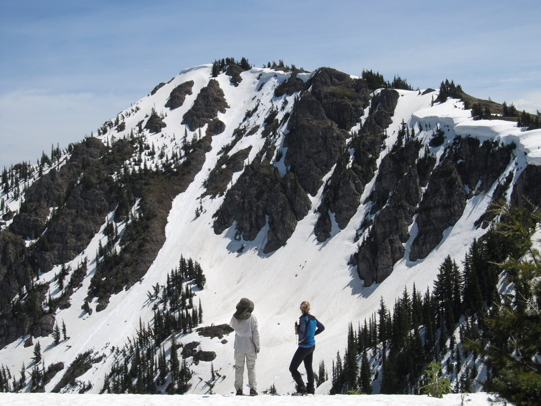
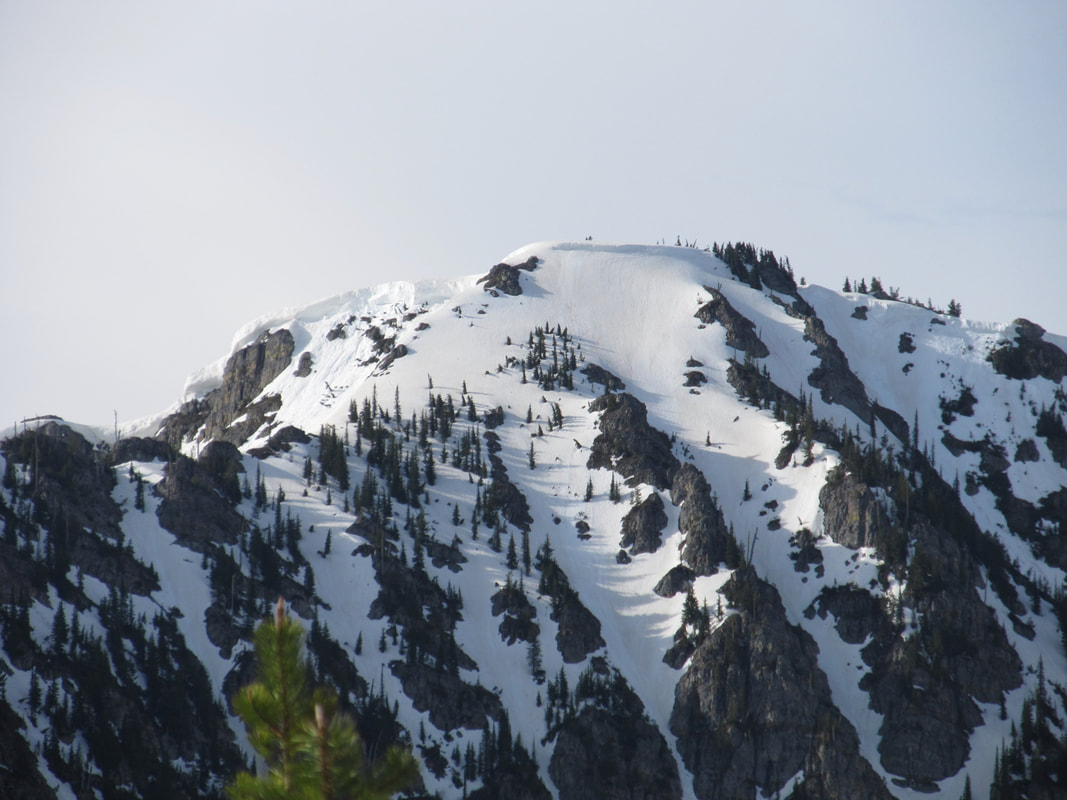
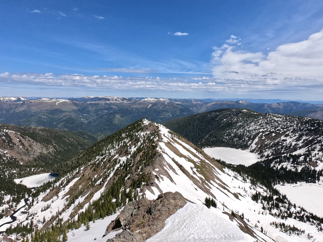
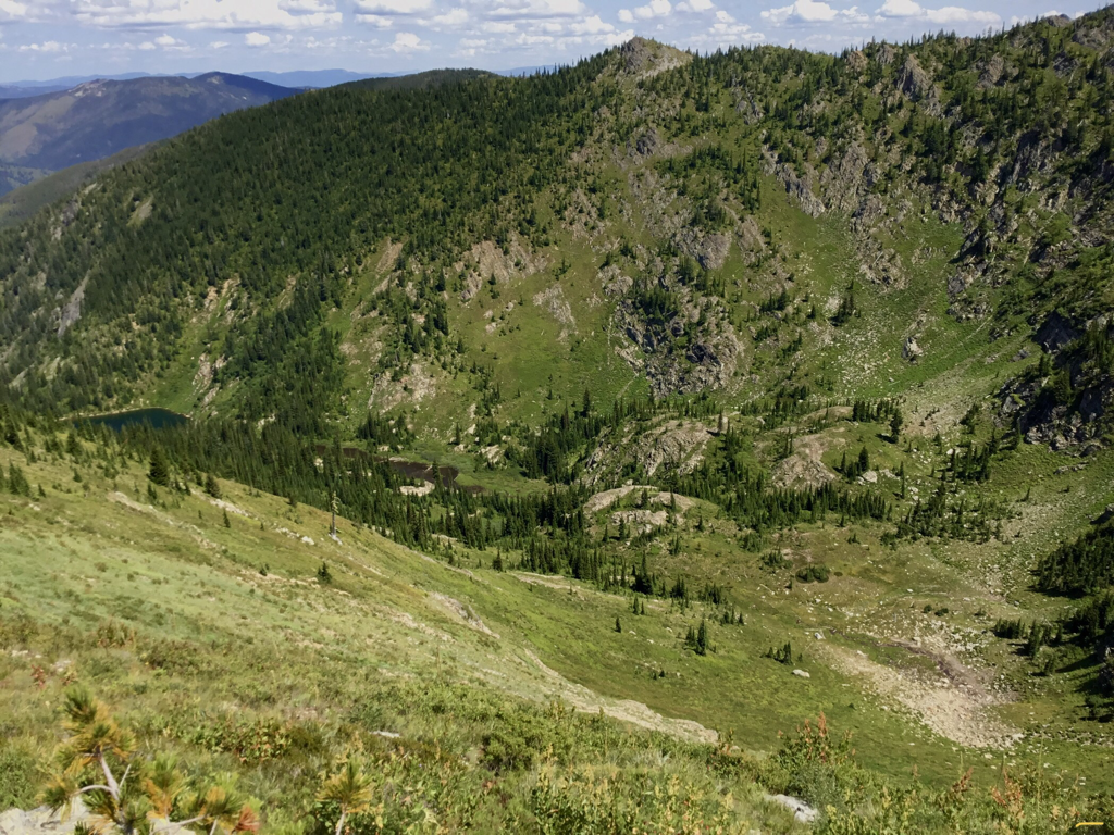
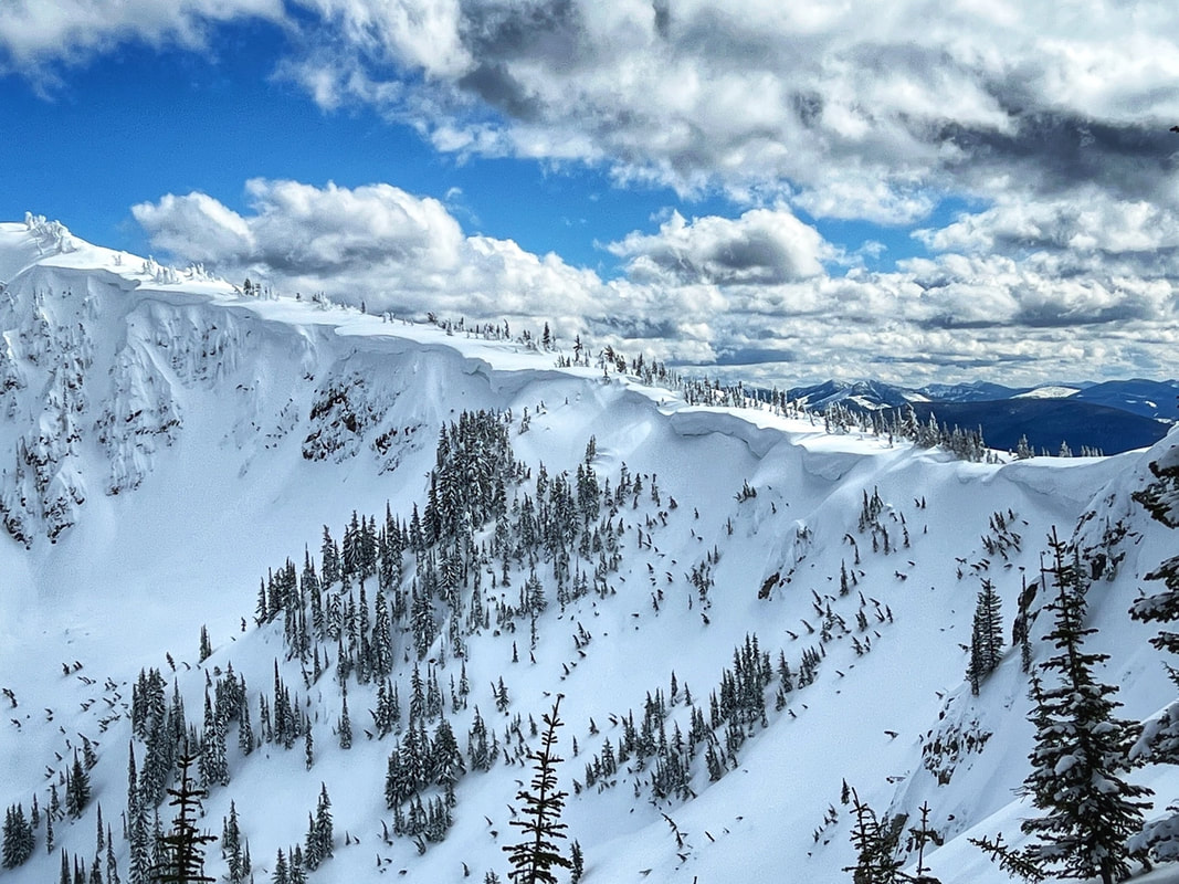
Stevens Peak is surrounded by several remarkable alpine glacier carved cirques, lake and aerates. There are several ridges leading up to the summit which makes for many different options for ascents, descents, loops and through hikes. One route follows the West Willow Ridge, which is also the Idaho Centennial Trail which comes from the south east along the Idaho/Montana border up and over Stevens Peak and continues on north into the Coeur d'Alene N.F. and ultimately into the Selkirks.
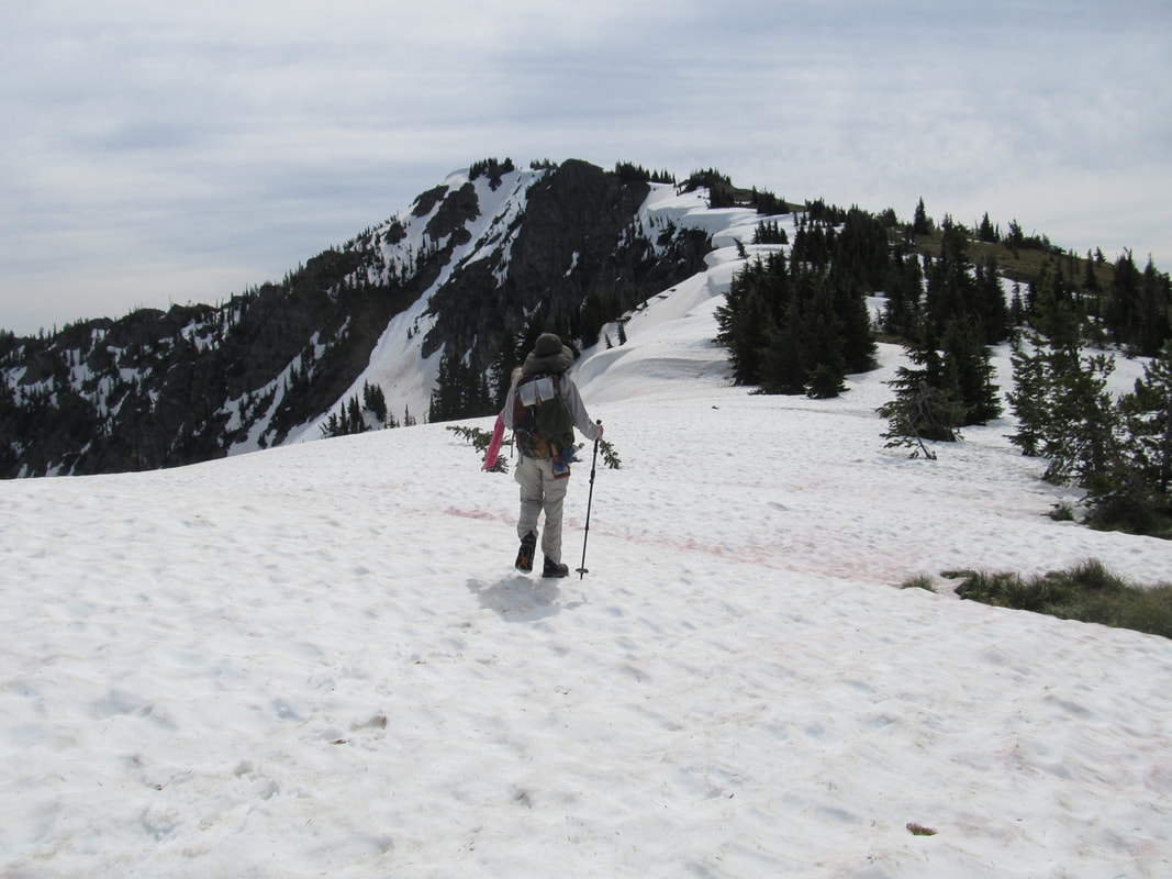
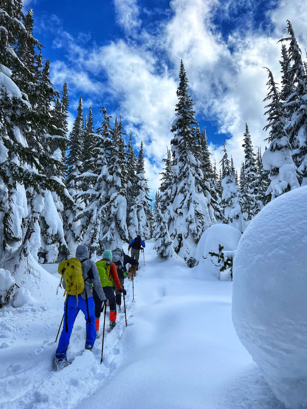
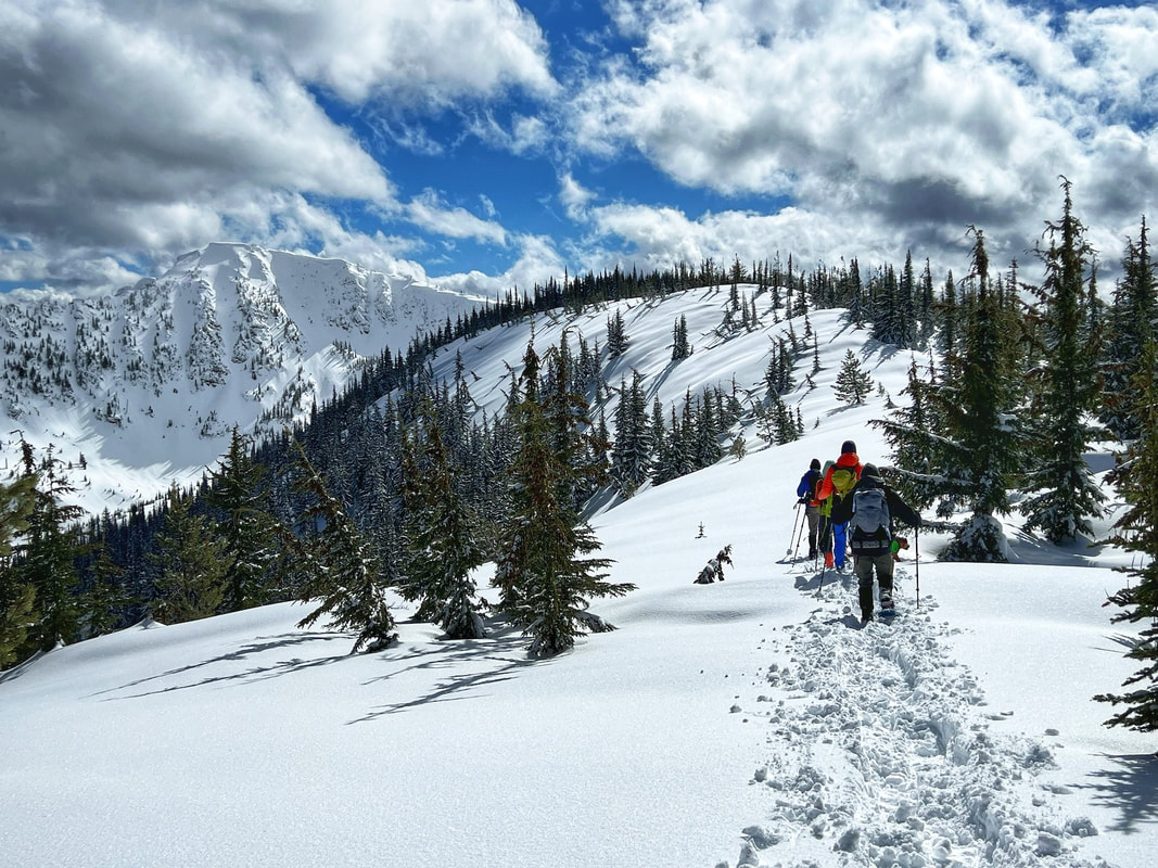
West Willow Ridge offers a hard, but safest routes up to the summit, in the winter and summer. In the winter and spring, by staying up on the ridge you can avoid most of the avalanche danger while skiing or snowshoeing in. This route is also less steep than climbing the headwalls from Lone Lake, but it is sustained until you are above Lone Lake.
OPTION #1:
TRAIL #16 ROUTE FROM MOON PASS:
Park at Moon Pass and take Trail #16 N.R.T. past Gold Hill on to Stevens Peak. Trail #16’s route starts as an old road, above the Moon Pass Road, that soon becomes a nice trail up over a gentle ridge, to an ORV road. Continue NE on a gentle trail Into the Roughin Creek drainage. The trail switchbacks several time as it summits the east/west ridge. Gold Hill sits along this ridge. From where the trail summits the ridge to Gold Hill, is about .5 miles going cross country. If you stay on Trail#16, there is an ORV Trail on the east side that leads up Gold Hill, in about .75 miles. From here, head east towards Stevens Peak.
From Gold Hill to West Willow Ridge road it’s about 2.8 miles, and a total of 3.3 miles to Stevens Peak.
OPTION #2:
BOULDER CREEK ROUTE:
Park at a small parking area above the top road to the Cemetery south of Mullan and follow Boulder Creek about 2 miles to a “basin”. ( Meaning no longer on the road up.)
Then work your way left (SE) before heading straight up hill to West Willow Ridge at about 2.6 miles. Turn right and walk about 1.6 miles to Stevens Peak.
This route is best in the winter for hiking/snowshoeing and backcountry skiing. In the non snow season, it’s a difficult route to find up thru the woods.
OPTION #3:
ST. REGIS LAKES TO STEVENS PEAK AND OUT VIA BOULDER CREEK: Ski route.
Drop a car at the Cemetery south of Mullan and continue east to the St. Regis Lakes basin. Gain the ridge above the first lake, which is the Upper ST. Regis Lake. Look for a chute along its NE shore that heads SSW up to the State Line Road, and the Idaho Centennial Trail. Once on the ICT, head west to the summit. It’s about 1.8 miles from Upper St. Regis Lake to Stevens summit. Be aware, the route from U. St. Regis Lake to the State Line is off trail, rugged and steep.
Drop a car at the Cemetery south of Mullan and continue east to the St. Regis Lakes basin. Gain the ridge above the first lake, which is the Upper ST. Regis Lake. Look for a chute along its NE shore that heads SSW up to the State Line Road, and the Idaho Centennial Trail. Once on the ICT, head west to the summit. It’s about 1.8 miles from Upper St. Regis Lake to Stevens summit. Be aware, the route from U. St. Regis Lake to the State Line is off trail, rugged and steep.
DIRECTIONS:
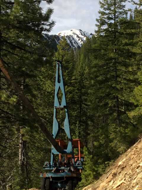
From Spokane take I-90 east to Mullan, Idaho exit #69. Turn left over the freeway to a stop sign. Turn right on Friday Road, past the Lucky Friday Mine and head east bearing right at the “Y” and follow to where it crosses over I-90 on the Willow Creek Overpass. Forest Road # 80008 heads south for .9 of a mile on a good dirt road to the Stevens Lakes/Lone Lake trailheads.. The Stevens and Lone Lake trail head is at a bend in the old rail road grade and it has a vault toilet. There is a smaller upper parking area at GPS: 47°27'03” N 115°46'06 W. Follow the road up West Willow Creek for approximately one mile and park there. DO NOT GO WEST UP A VERY OLD ROAD. Take the Lone Lake Trail DUE SOUTH for a little over .1 of a mile, until you reach the first road/trail off to the right with a cairn marker. Take that road until you gain the ridge line. As you walk up the faint trail, it will connect with a wider road to the right. Up near the top is an old blue skidder, abandoned on the road. In a short distance you will summit the ridge on an ORV trail. From there follow the ridge south over 5 steep bumps along the road to where the ridge steepness eases up.
COOL THINGS CLOSE BY:
Stevens Lake, Lone Lake, Shefoot Mountain Trails, Trail #16, Big Dick Point Trail #189, St. Regis Lakes, Lookout Pass Ski Area, the Route of the Hiawatha, and the Trail of the Coeur d’Alenes bike trail.
HAZARDS:
The terrain is steep and sustained for several miles.
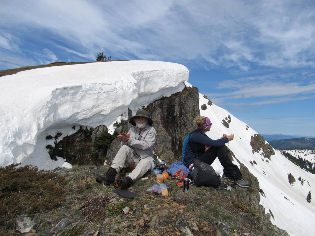
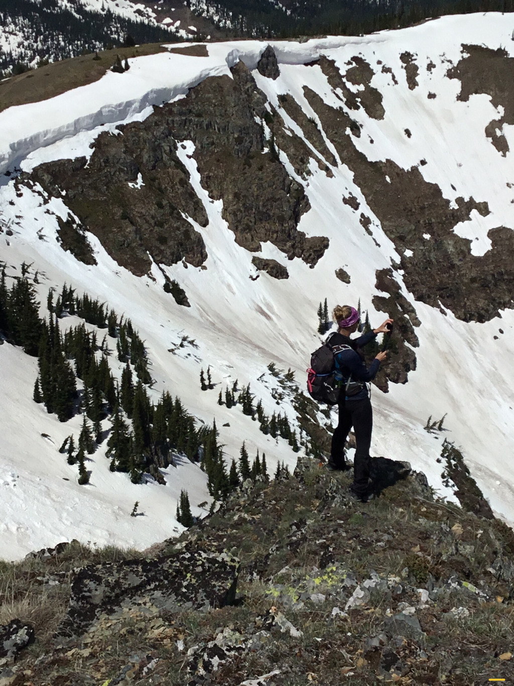
Exercise caution around the cornices. They can and do break off.
Exercise caution around the cornices. They can and do break off.
R & P:
North Idaho Mountain Brew, 1313 Club, Pizza Factory in Wallace, Radio Brewing Company in Kellogg, the Snake Pit north of Kingston and Trails End Brewery in Cd'A.
