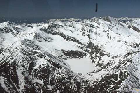
LEIGH LAKE 5144’, CABINET MOUNTAIN WILDERNESS
EVENT TYPE: hiking, backpacking, fishing, skiing, climbing and paddling
DISTANCE: 3.04 miles RT to lake 6 miles RT with Amphitheater by raft.
ELEVATION GAIN: 1104' gain. The hike up thru the Amphitheater, to the center summit is 1875 verts
DIFFICULTY: Near Difficult
MAPS: Cabinet Mountain Wilderness, Kootenai N.F., Snowshoe Peak
GPS: 48°13’28”N 115°39’39”W
RANGER DISTRICT: LIBBY RANGER DISTRICT 406.293.7773
SANDERS COUNTY SHERIFF: CALL 911 FIRST or 406.827.3584
DESCRIPTION:
WE HAVE ADDED THE AREAS SHERIFF’S EMERGENCY PHONE NUMBERS FOR EACH TRIP WRITE UP UNDER THE RANGER DISTRICT INFO. IF AN EMERGENCY OCURRS, EVALUATE YOUR CIRCUMSTANCES AND CALL ONLY IF NEEDED.
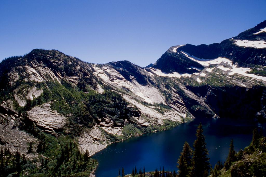
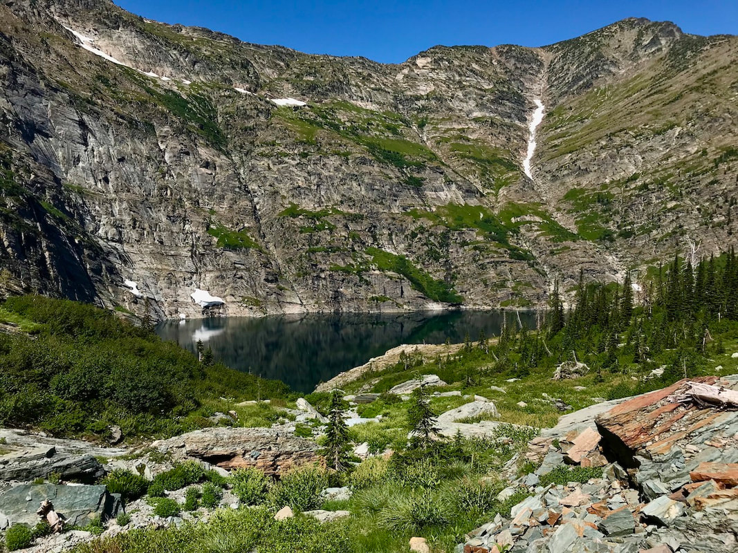
Leigh Lake is the highest, largest and most visited lake in the C.M.W.
THE TRAILHEAD
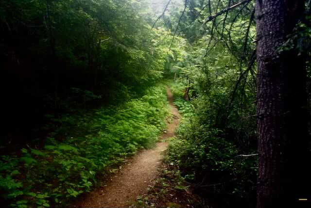
The trail starts next to Leigh Creek, and climbs steadily up thru the forest until it pops out onto a rocky area. Around 2017-8, there was two avalanches of rock off the cliffs above. This Avalanche altered the trail slightly, so you must walk around and over several large boulders. The Libby Ranger District realigned the trail and cleared out avalanche debris.
As of fall 2021, the trail is repaired.
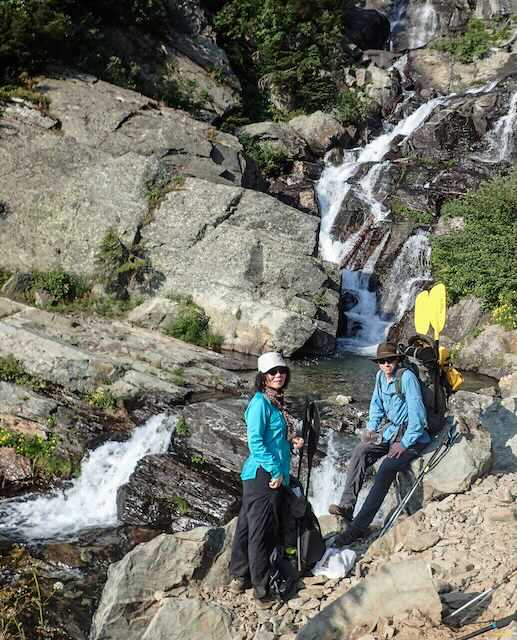
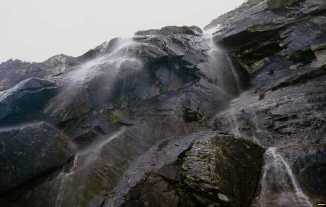
Within minutes the sound of the trail tells you, you are at the Leigh Creek Falls.
Drop your pack and splash ice cold water on your face. It will revitalize you.
In the summer, the falls are a great place to cool off, before the UP.
Once the packs are back on, the ascent begins. To the NW next to where you enjoyed the waterfall, is a rocky area that you must ascend. It looks gnarly, but it's only about 200 vertical feet to the trail above. Although the trail is UP, there are plenty of trees, brush and rocks for hand holds.
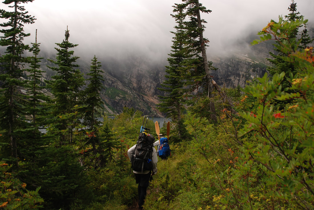
After you have achieved the trail above, turn towards the lake, left (SW) and enjoy the views on your walk.
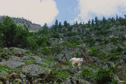
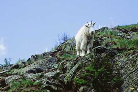
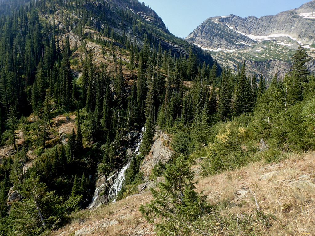
As you summit the steep section, Leigh Creek Falls roars below you. After you are resting from the ascent, take a moment and look and listen to all the beauty around you. Also, look for Mountain Goats above you.
Its only .3 of a mile walk to the lake, so be prepared for some sensory overload.
At the lake you come to the rock shore line worth diving off of. Above you is an old camp site, and another across the exit stream,but camping has been hard on this area so they may be closed. Forest Service rules state that you must camp over 300 feet from the lake.
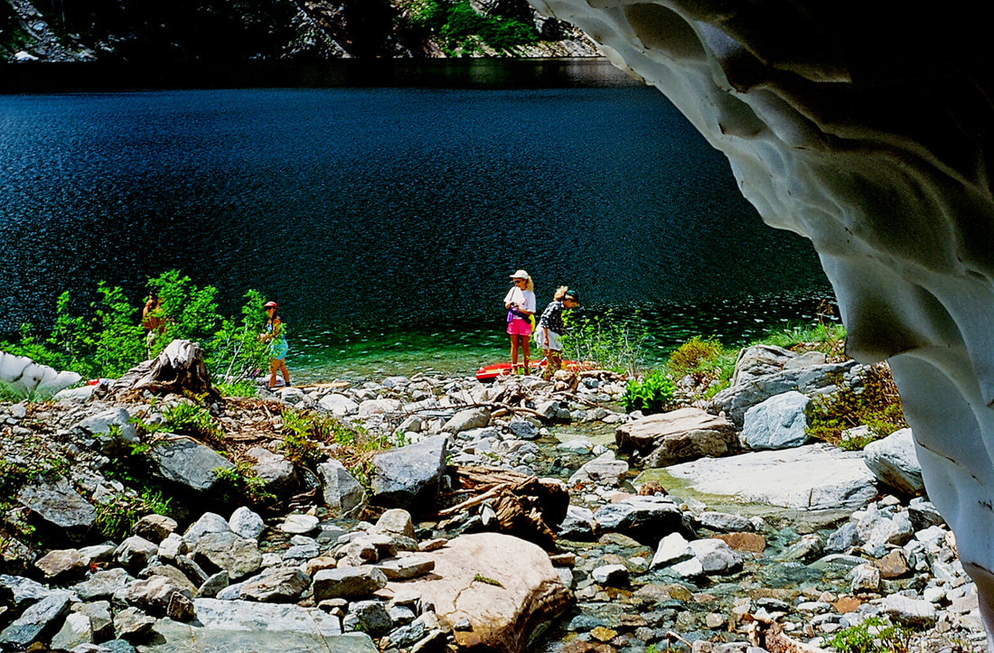
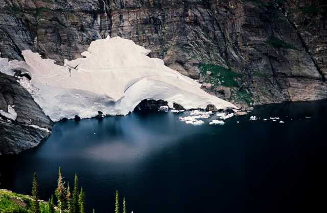
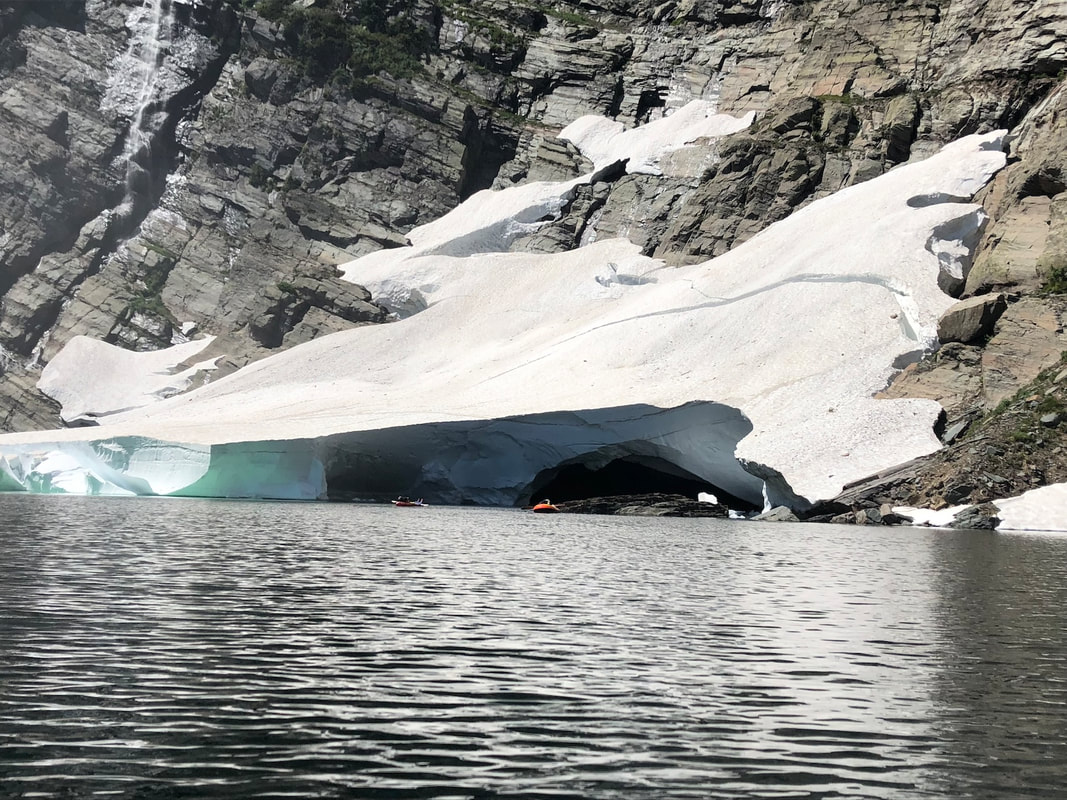
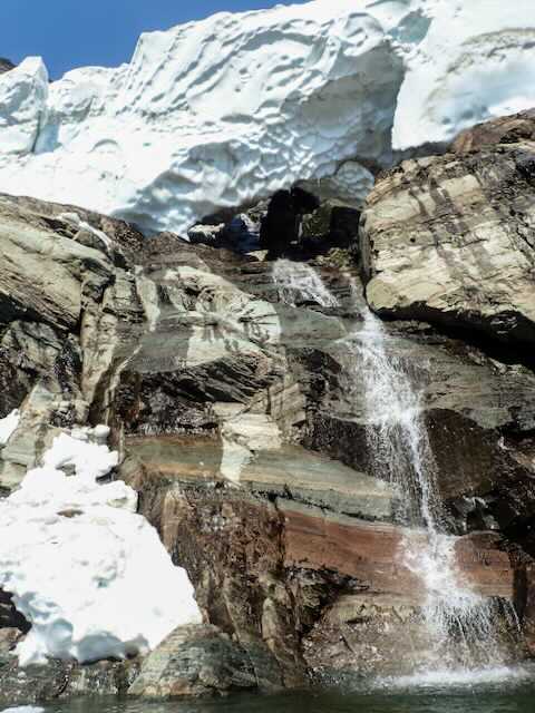
After a short rest, look for a primitive trail along the right (NW) shore line. It's about a .5 of a mile trek around the lake to a small rocky beach, stream, and ice cave in the spring. Early in the season, this stream is covered with a thick blanket of avalanched snow that causes an "ice caves". You can walk back into the cave, but beware, the roof drips. Up near the back of the cave is a nice waterfall. You can climb up above the avalanche terminus for as long as you like for beautiful views from above. Then you can do a standing glissade back down. Be very careful to not glissade/slide off the snow.
OPTION#1:
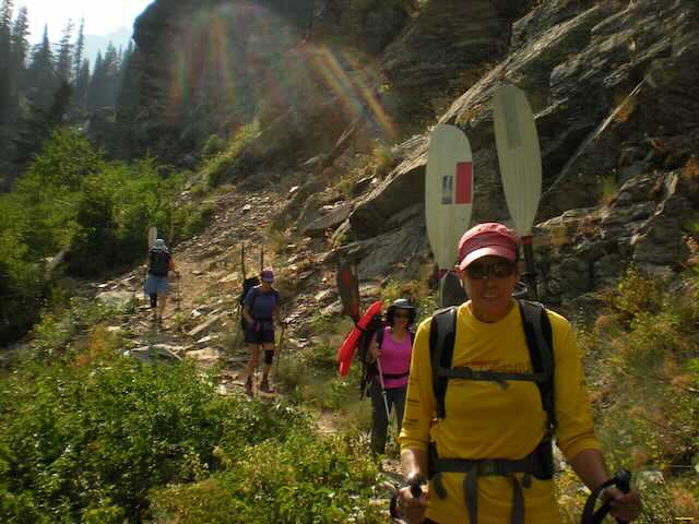
In 1979 after my first hike to Leigh Lake, I hatched plan. Two weeks later, I showed up at
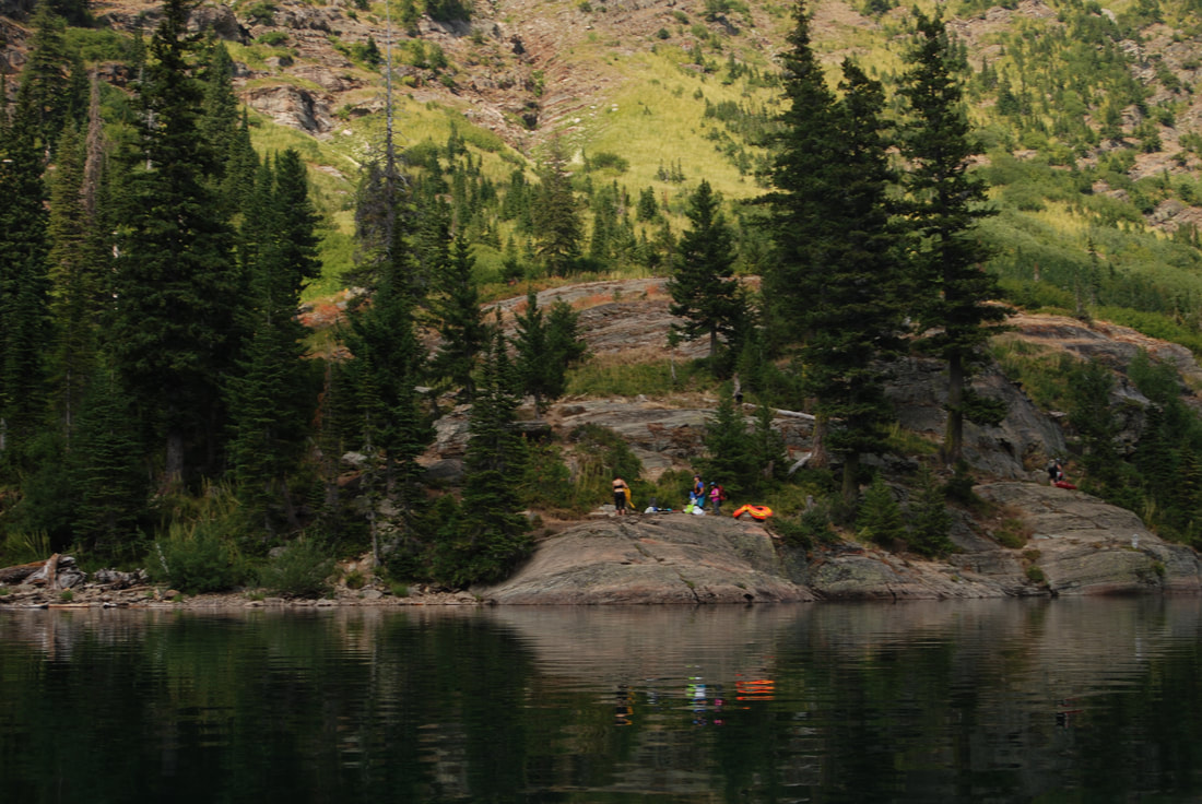
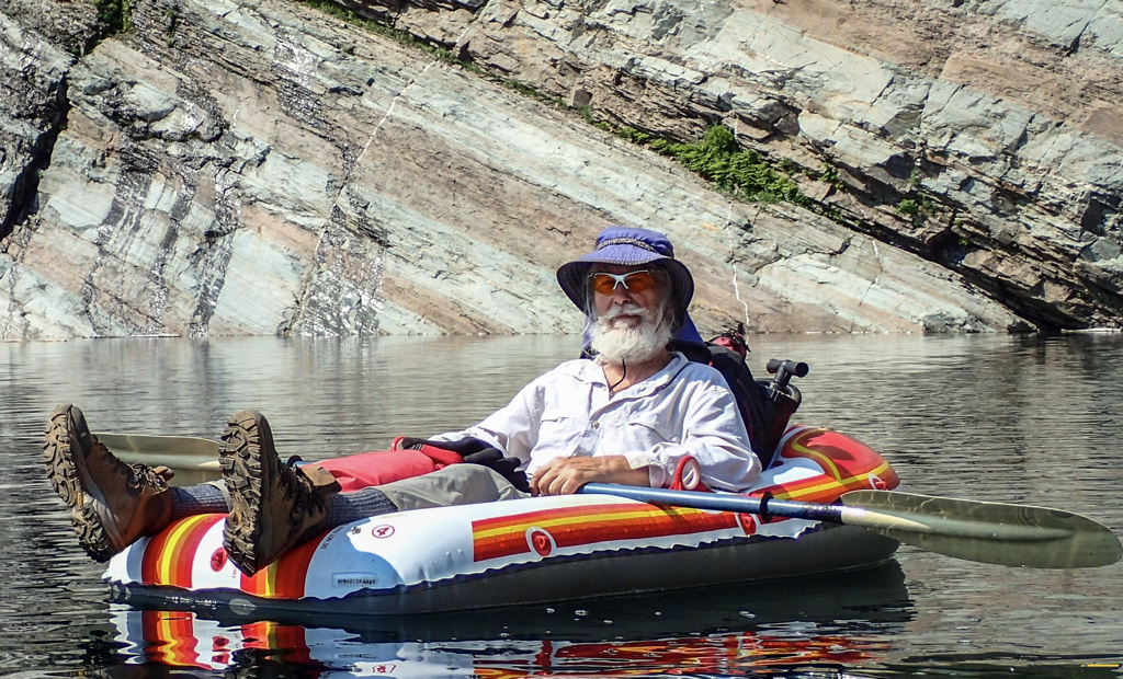
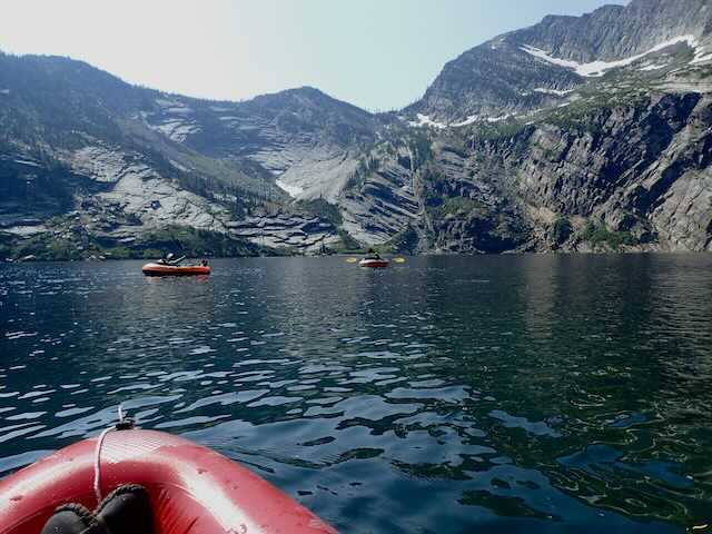
the lake with my raft and kayak paddle. This started a yearly visit to the lake with my raft.
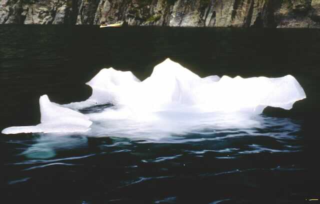
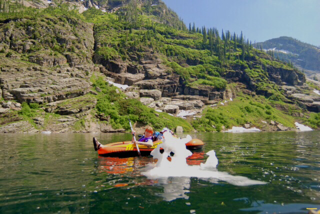
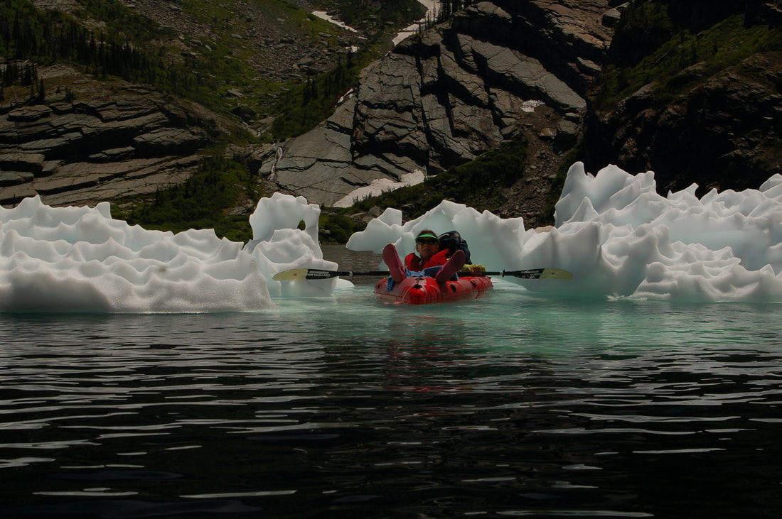
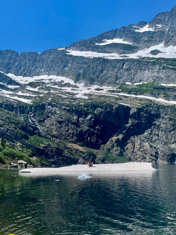
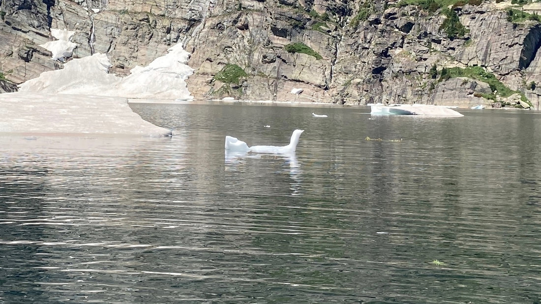
In the spring about June to July 15th, when you put in, you have to paddle around ice
bergs of all sizes.
BE AWARE OF ANY BIT OF A BREEZE, AS YOU INFLATE YOUR RAFTS. IT WILL
THROW YOUR BOAT INTO THE BRUSH AND POP IT, AS YOU BLOW THEM UP.
Put your pack in the rafts to keep them from blowing away or popping.
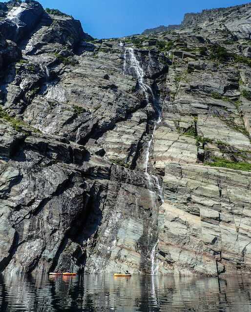
Once past the bergs, paddle the shoreline to the right (west) beneath Leigh Lakes 3000 foot wall.
On this single trip, you will see more waterfalls then you've seen in the last 5 years.
Paddling further along the shore, there is a gigantic snow terminus high on the wall above you.
This terminus comes from a winter's worth of avalanches off the 3000 foot wall.
During the spring and summer, large pieces of ice break off into the lake.
Bergs happen until the weather gets too warm for the ice. Continuing the paddle towards
the west wall, where waterfalls cascade down the face just feet from your raft.
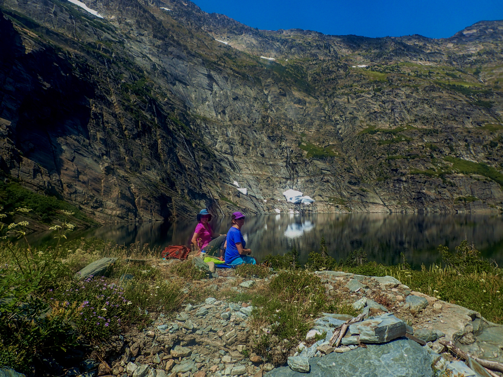
Continue again to the south shore and you will find a small beach to get out on.
BE SURE TO SECURE YOUR RAFTS..TIE THEM DOWN. THE WALK OUT IS BRUTAL.
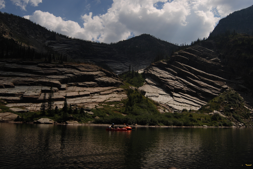
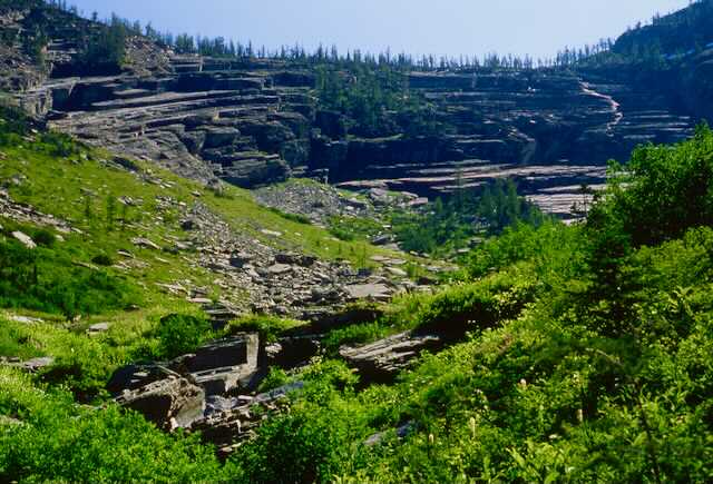
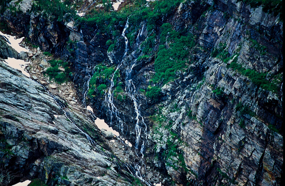
After a lunch, dive in to clear cold water to cool off. Then, walk the dry creek up into the "Amphitheater" above you. Each layer of rock has water running down. And where there's water there's wildflowers. Dozens of varieties occupy these seams and light up the grey rock.
You can walk a moderate “trail” up thru the humongous rocks for 1875 vertical feet above the lake for unbelievable views.
Once back at the rafts, paddle slowly back to the take out and enjoying the south shore's majestic rock formation. My favorite thing to do on the lake, is to spin. As you lay comfortably in your raft, paddle on one side of the raft. This causes you to spin. It’s like watching an IMAX movie, but you see it in your minds eye.
OPTION #2:
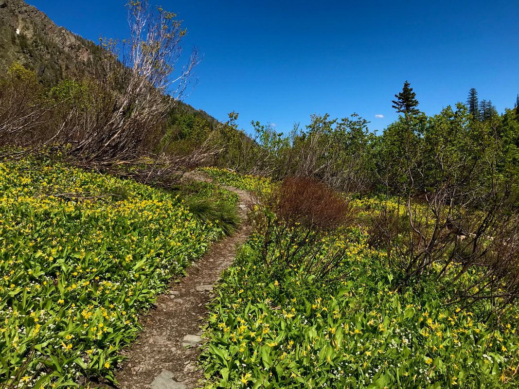
For a fantastic view of Leigh Lake, look to the northeast. Bockman Peak 8174' stands tall above the lake. Follow the ridge from Bockman to the east. More than half way down the ridge there is a diagonal rock band that runs from above the lake to this ridge. There is a very faint climbers trail to the ridge. Absolutely stunning views of Leigh Lake. See the lead in image of this hike.
OPTION #3:
TO CLIMB SNOWSHOE PEAK.
Once at the lake, skirt it's right (north) shore line to the rocky beach. Your ascent is up the dry waterfall for the first 1/3 of this face. At about 1/3 the way up, you will want to look for a shelf to cross left (westward) over to the next dry waterfall. From here it's simply up. Scrambling the dry falls is the easiest way to the rim above. At the rim, turn left (west) and work your way around and up Snowshoe's south face. The descent to the rim is pretty easy, but what lies below, is not. I WOULD SUGGEST TAKING A 75' LENGTH OF GLACIER ROPE TO AID YOUR DESCENT, AND DO BODY REPELS.
Without the rope your descent is more dangerous and very slow. USE EXTREME CAUTION DESCENDING. The Beargrass is very slippery.
You can pass over Snowshoe Peak, and descend the west side, down to Snowshoe Lake. It will require leaving a car up the N. Fork Bull River.
IF YOU DESCEND TO LEIGH LAKE, BE SURE TO HAVE ABOUT 75' OF ROPE TO AID YOUR DESCENT. ITS WAY DANGEROUS DOWN CLIMBING WITHOUT A ROPE.
OPTION #4:
You can get to the"Amphitheater" by crossing over the log jam above the waterfall, at the base of the lake. From here there is no trail, but if you climb high and traverse above the rocks, it's doable.
Be aware, its off trail and difficult going.
Be aware, its off trail and difficult going.
DIRECTIONS:
From Libby, drive south on Highway 2 towards Glacier National Park for about 8 miles to the Bear Creek Road #278. Turn right (west) for three miles to FR#867. Turn right (west) for about 5 miles to FR #4786. Drive up 4786 for about 2 miles to the trailhead. Notice along this last stretch of road, that there is pull off to the left to a very primitive campsite. If it’s occupied, you can camp at the parking area.
HAZARDS:
From the falls up 200 verts, requires great concentration and effort, but I've seen 6 year old girls shoot up it, in flip flops.
In the "Amphitheater" there is a wide wet section on an uncomfortable slope in the spring that crosses the "trail".
BE EXTRA CAREFUL CROSSING THIS SECTION. OR BETTER OFF, DO NOT CROSS THIS WET SPOT. ITS TOOOOO DANGEROUS.
In the "Amphitheater" there is a wide wet section on an uncomfortable slope in the spring that crosses the "trail".
BE EXTRA CAREFUL CROSSING THIS SECTION. OR BETTER OFF, DO NOT CROSS THIS WET SPOT. ITS TOOOOO DANGEROUS.
COOL THINGS CLOSE BY:
Kootenai Falls, historic Libby, Montana, U & L Geiger Lakes, Snowshoe Peak, Blackwell Glacier, and A Peak, and Ross Creek Cedars
R & P:
Kaiju Bar & Grill in Libby. Henry’s, Pizza Hut, and The Shed in Libby, Clark Fork Pantry and Squeeze Inn in Clark Fork, Eicharts, Mr Sub, Burger Express, & Jalapeños in Sandpoint.
In Libby, try The Shed south on Hwy 2
In Libby, try The Shed south on Hwy 2
