TWO MOUTH LAKES 5785'. TRAIL #286
EVENT TYPE: Day hiking, backpacking, scrambling
DISTANCE: 9 miles RT to Upper Two Mouth Lake
ELEVATION: 1485 verts
DIFFICULTY: Easy to moderate
MAPS: I.P.N.F., Kaniksu N.F., The Wigwams topo
GPS: 48°42’36” N 116°39’13” W
RANGER DISTRICT: Bonners Ferry R.D. 208.267.5561
BOUNDARY COUNTY SHERIFF: 911 or 208.267.3151
DISTANCE: 9 miles RT to Upper Two Mouth Lake
ELEVATION: 1485 verts
DIFFICULTY: Easy to moderate
MAPS: I.P.N.F., Kaniksu N.F., The Wigwams topo
GPS: 48°42’36” N 116°39’13” W
RANGER DISTRICT: Bonners Ferry R.D. 208.267.5561
BOUNDARY COUNTY SHERIFF: 911 or 208.267.3151
DESCRIPTION:
The trail skirts over towards the Peak Creek drainage and does a switchback to the SE. Once back in the Slide Creek drainage, the trail follows Slide Creek all the way to the lakes basin. Many times along this trail, the USFS has built walkways to protect the many small streams and marsh areas. At about 3.75 miles in, the trail reaches the high point at 6150'.
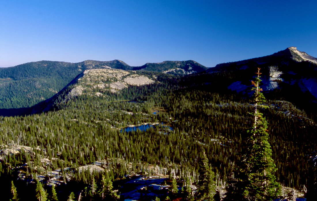
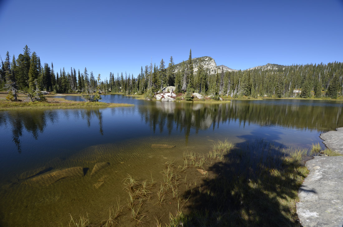
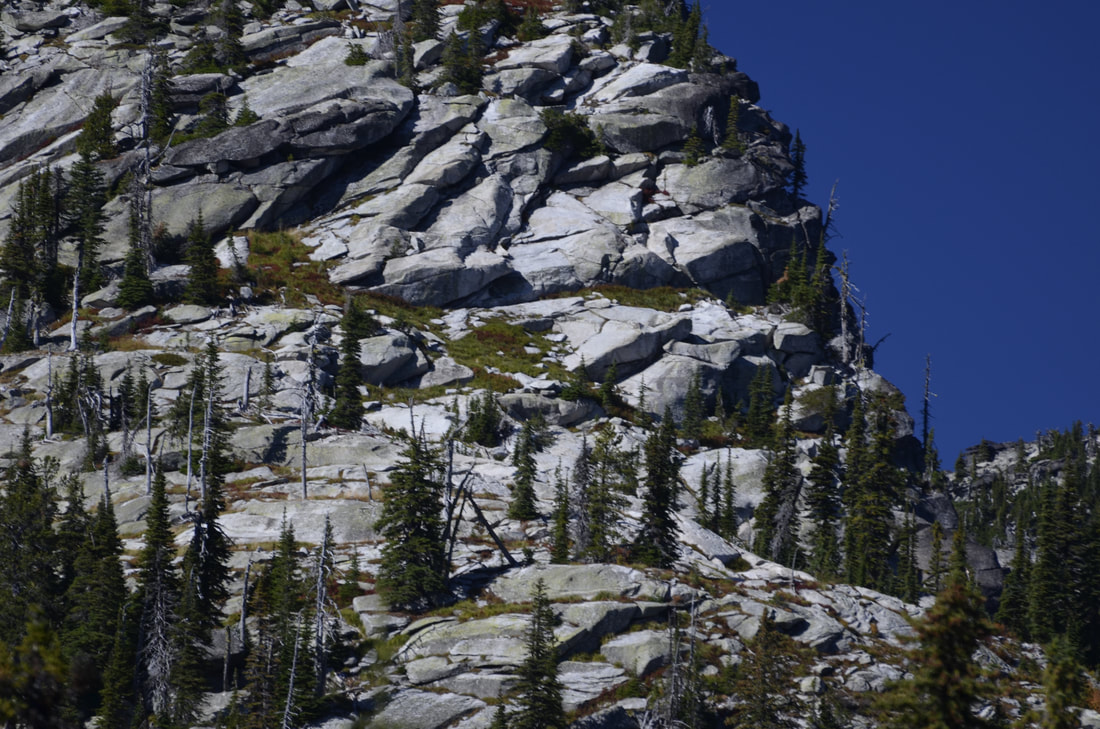
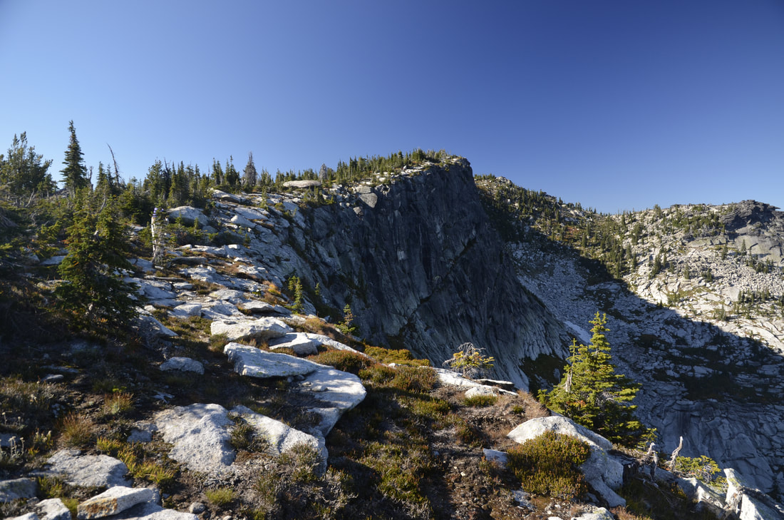
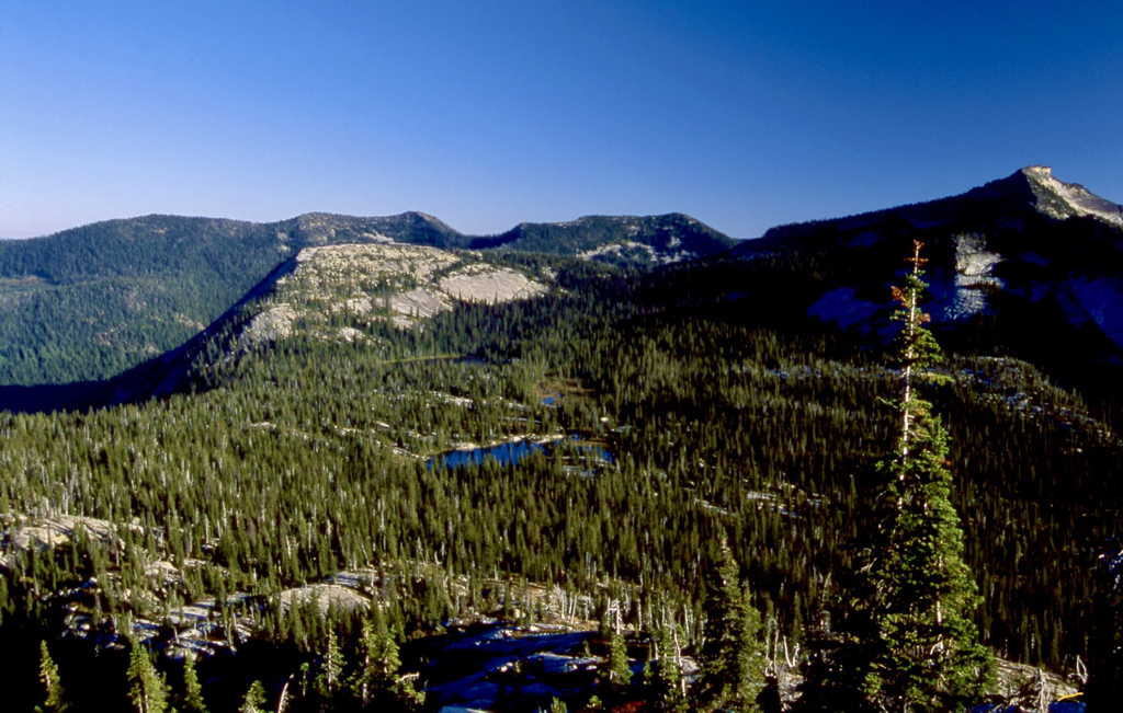
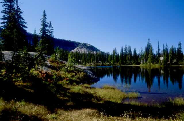
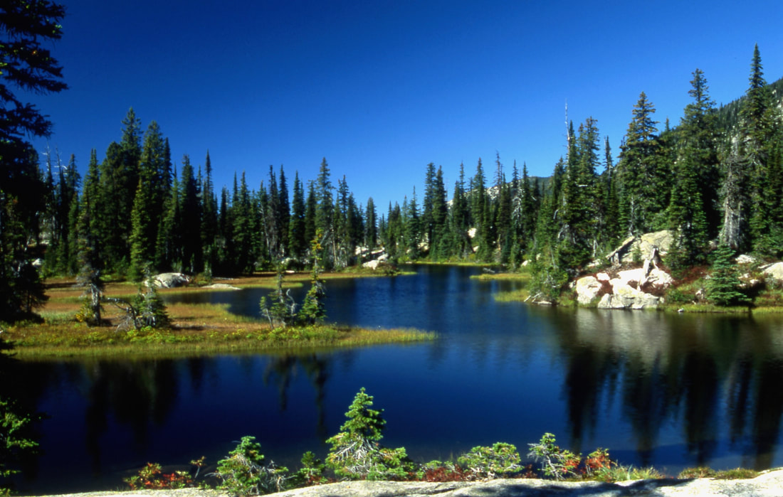
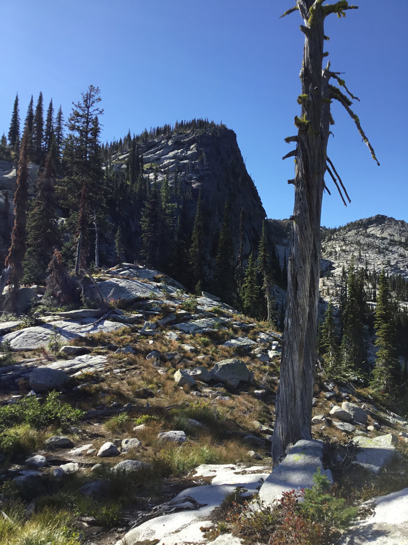
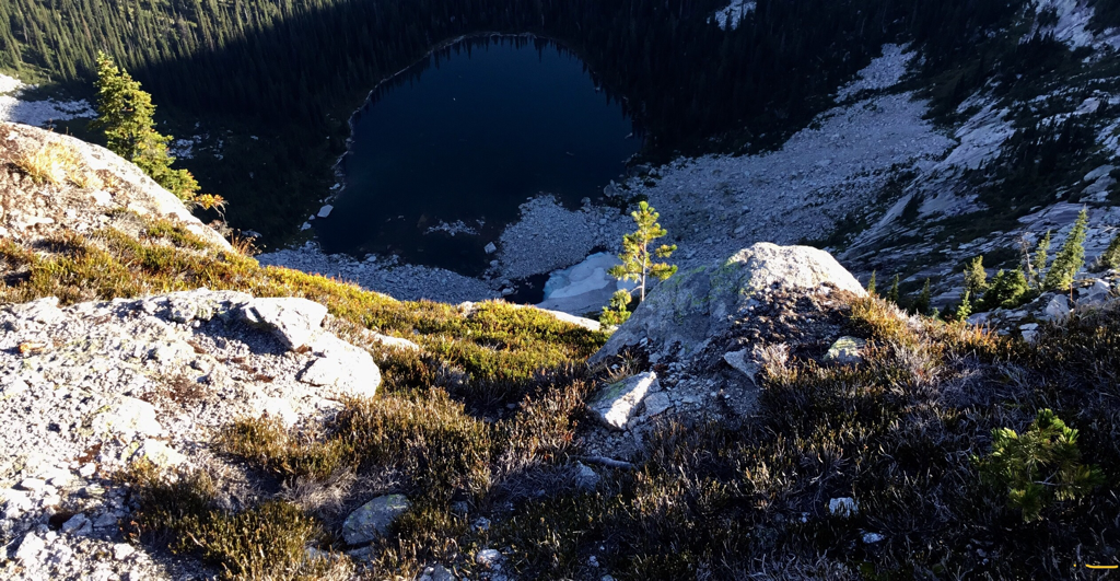
As the trail drops down into the Two Mouth Lakes Basin, you know you are in a special place. Its only 1/2 a mile to the lower lake, so bear right at the "Y". The Two Mouth's basin is huge, with towering peaks, rolling granite fields, and the sense of seclusion. Lower Two Mouth is unique in that it has several bays that jut away from the main body, and hold many photo ops. Please take care to not disturb the shore line and vegetation. At some time you will get a glimpse of a towering peak with a vertical north face to the NNE. This is a peak along a long ridge that runs NW to The Wigwams. Plan on scrambling this peak. The ridge line skirts the Kent Lake basin high above.
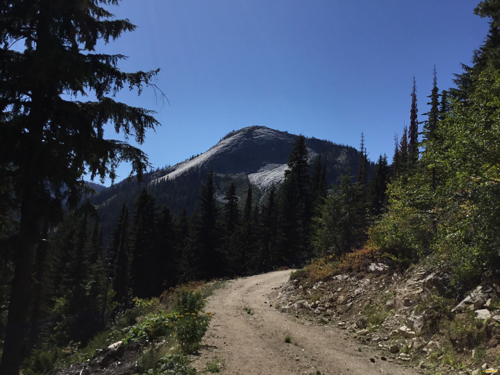
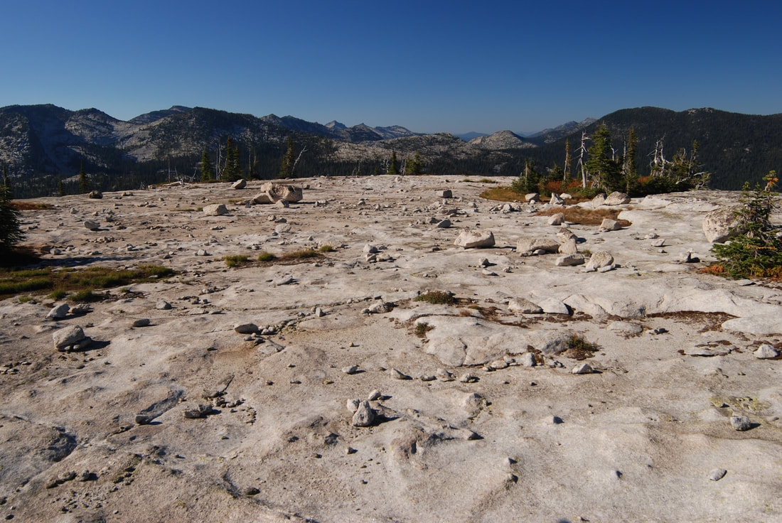
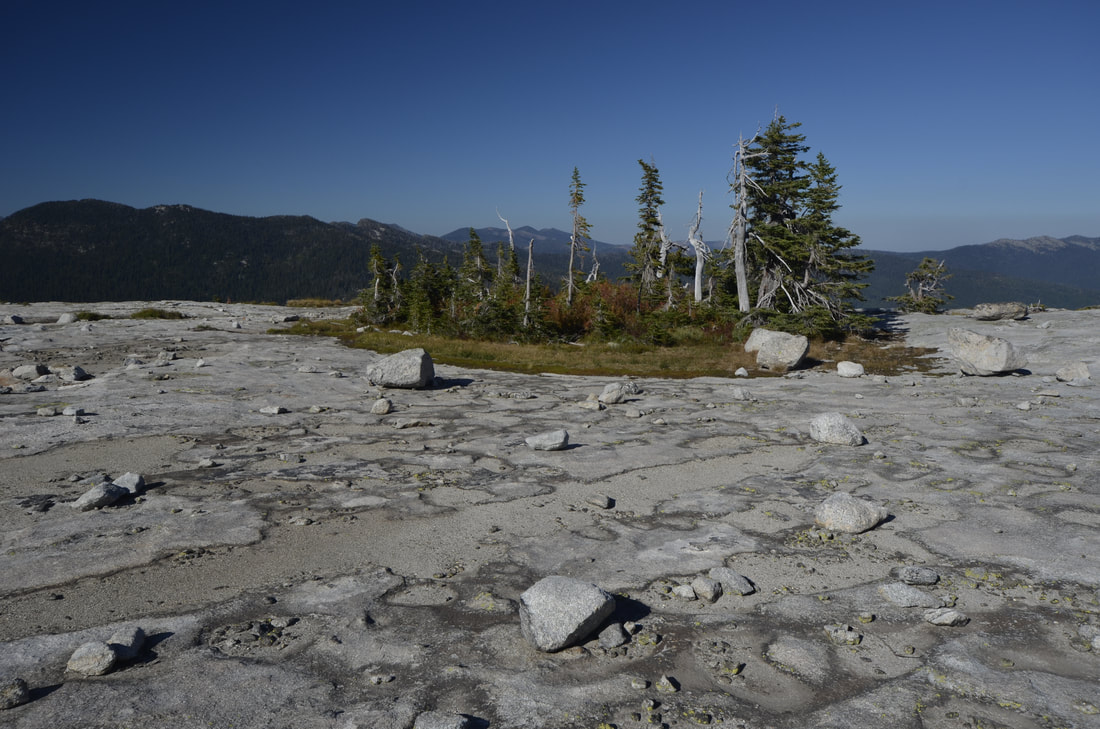
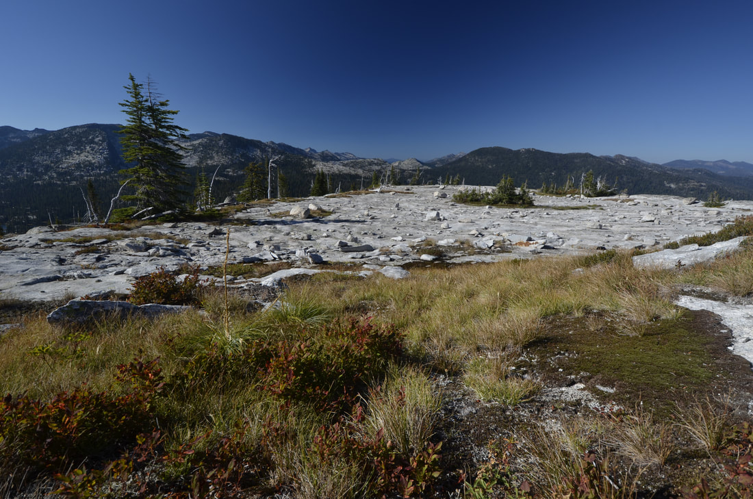
Back at the lakes basin, the upper lake is a nearly round lake that, is bigger and deeper than the lower lake. If you remember the view of the Beehive Dome from the parking area, you can stand on it with little effort. But its the granite field towards Harrison Peak that will require your presence. This nearly level field is one of two in the Selkirks. Its about the size of two football fields, but much prettier. Scattered around the field are VW size boulders and every once in a while, a small Sub-Alpine Fir is circled by a mat of greenery that will amaze you. This granite field is unique and should not be missed.
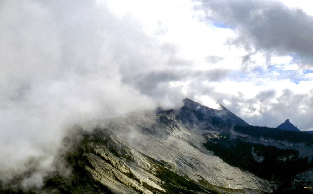
Harrison Peak stands to the south, and the hook nose is very obvious.
OPTION #1:
Kent Ridge
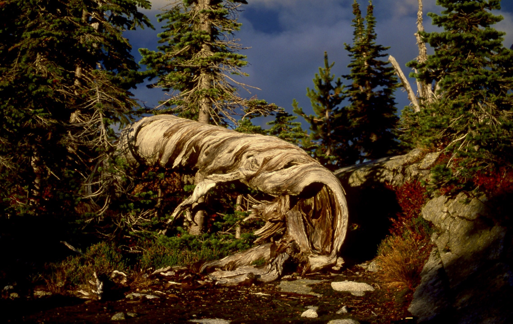
If you decide to scramble this peak, look for the second "gully" from the cliffs edge. Its safer. As you summit the ridge at 7001', the views intensify beyond expectations. Kent Lake lies 1358' below, while Kent Peak 7243' lies NW of the lake. Now the real fun starts. Continue along this ridge due west as far as desired. Along the trail there's an old snag lying on the ground. Its twisted and hollow, and one can imagine it being an a giant's esophagus that's been ripped out and discarded. But lets continue west on this ridge. You will come to an open area on the ridge that sports one of the most spectacular views in the American Selkirks. You will be looking due south down the Selkirk Crest. All the major peak are lined up like zipper teeth. Don't miss this view.
In 2019 a hiking buddy and I did a rare backpack from Two Mouth to The Wigwams. I got to tell you...this was the most spectacular hike I’ve ever done in the American Selkirks. It’s about 8 miles one way. DO NOT TAKE CHILDREN ON THE HIKE ABOVE TWO MOUTH LAKES.
DIRECTIONS:
From the Kootenai National Wildlife Refuge NW of Bonners Ferry, drive 1.5 miles north on West Side Road (417) to the Myrtle Creek Road #633. Turn left (west) for 10 miles bearing left to the trailhead.
HAZARDS:
The trail has several boggy areas. Please stay on boardwalks to protect these sensitive areas.
The trail can be rough and uneven, so use caution.
Once at the lakes, please treat the shore line with great care, and practice good food handling and storage.
The trail can be rough and uneven, so use caution.
Once at the lakes, please treat the shore line with great care, and practice good food handling and storage.
COOL THINGS CLOSE BY:
The Kootenai National Wildlife Refuge, the Purcell Trench,Myrtle Peak, Harrison Lake & Peak, Kent Lake ridge, The Wigwams, and the Two Mouth Lakes basin.
The Kootenai National Wildlife Refuge, the Purcell Trench, Myrtle Peak, Harrison Lake & Peak, Kent Lake Ridge, The Wigwams, and the Two Mouth Lakes Basin.
R & P:
Jalapeños, Eichardt's, Burger Express, Mr. Sub in Sandpoint
PLAN YOUR TRIP:
Click for Current NOAA Weather Conditions
