THE MOLLIES 6512’ AND PHOEBES TIP 6658’
EVENT TYPE: Day hiking, backpacking, scrambling
DISTANCE: 3 miles RT to The Mollies Lake. 5 miles RT to The Mollies summit
ELEVATION GAIN: 1651 verts to The Mollies. To Pheobe’s Tip is NA
DIFFICULTY: moderate to The Mollies
MAPS:Kaniksu N.F., Caribou Creek & Grass Mountain topos
GPS: 48°50’43” N 116°50’19” W
RANGER DISTRICT: Priest River R.D. 208.443.2512
BOUNDARY COUNTY SHERIFF: CALL 911 FIRST or 208.267.3151
DESCRIPTION:
WE HAVE ADDED THE AREAS SHERIFF’S EMERGENCY PHONE NUMBERS FOR EACH TRIP WRITE UP UNDER THE RANGER DISTRICT INFO. IF AN EMERGENCY OCURRS, EVALUATE YOUR CIRCUMSTANCES AND CALL ONLY IF NEEDED.
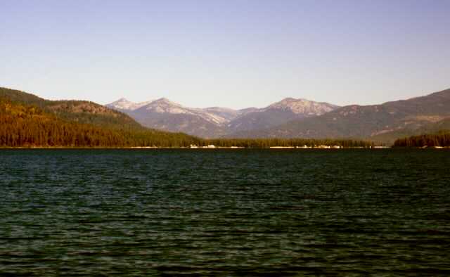
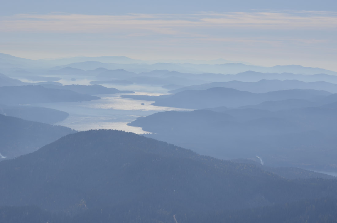
This hike is due north of Priest Lake and offers great views of Priest Lake, the American Selkirks, Washington, and Canada.
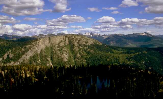
The trail heads up thru a forested area that doesn't offer many views, until you break out into open areas next to the lake and above to the summit. Once on top the views are to die for. From the high peaks above Hughes Meadows to the west, to the American Selkirks to the east, and the peaks of Canada to the north, this summit shows the grandeur of North Idaho. Be aware that the trail is sketchy as you approach the lake.
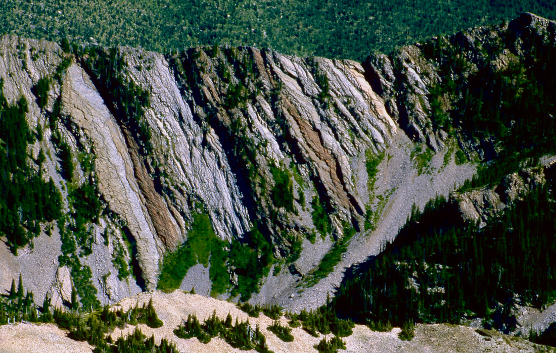
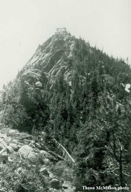
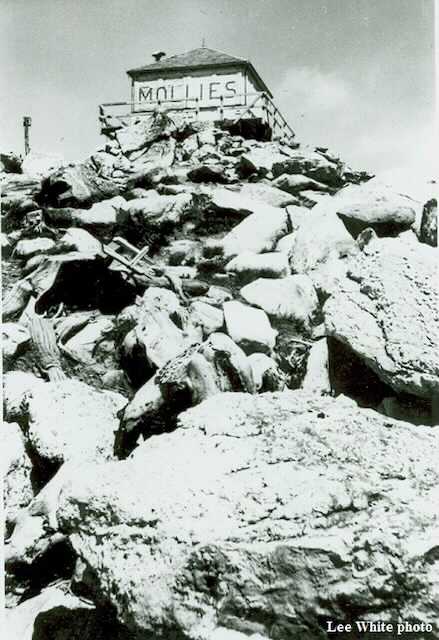
The summit block sits on a 1500' wall on the east. The meadows below the wall looks like its from a fairytale.
Off to the NW, Pheobe's Tip stands out along the skyline. Its about 1.2 miles from the Mollies summit and offers a great extended hike to an even taller peak.
OPTION #1:
Pheobe’s Tip is located NW of The Mollies at about 1.2 mile. It’s along a nice ridge, so views are great.
It’s a bit arduous, but the rewards are worth the effort.
It’s a bit arduous, but the rewards are worth the effort.
DIRECTIONS:
Drive to Priest River and head north up SH #57 about 27 miles and turn right (east) towards Coolin for another 5.5 miles to Coolin. At Coolin turn right (east) on the Cavanaugh Bay Road. In another 3.3 miles to East Shore Road. Drive north for 29 miles past Lions Head Campground as it leaves the lake and heads up Caribou Creek. Look for FR 46 on a small sign, and go 1.7 miles to a prominent saddle up a 4 wheel drive road. As the road levels out, look to the right (east) for a short road to the trailhead. You can park at the trailhead or on the road along the saddle.
COOL THINGS CLOSE BY:
Priest Lake, Lions Head Campground (swimming), Lions Head water slide, Hunt Creek Falls. Drive about 4 miles past Coolin to FR 23, then up to the left for about 1/4 a mile and park. Walk about 300' to the falls.
HAZARDS:
None on the hike to the Mollies
R & P:
Burger Express
