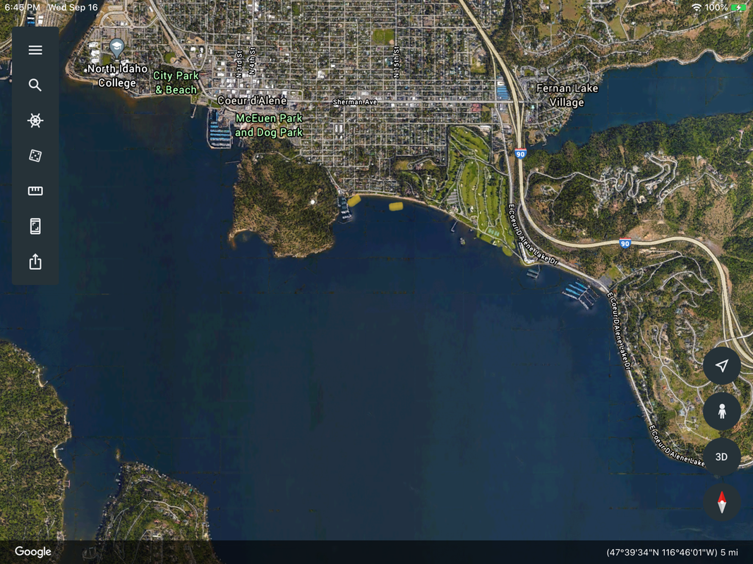
SANDERS BEACH LANDING
PADDLE DISTANCE: varies
ELEVATION: 2128’
LENGTH AND ACREAGE: varies
MAPS:
LAUNCH GPS: WEST 47°39’58” N 116°46’10” W. EAST 47°39’57” N 116°45’53” W
ELEVATION: 2128’
LENGTH AND ACREAGE: varies
MAPS:
LAUNCH GPS: WEST 47°39’58” N 116°46’10” W. EAST 47°39’57” N 116°45’53” W
DESCRIPTION:
Sanders Beach is a private beach with two public access points at 11th Street and 15th Street. If the west put in is crowded, drive a few blocks east to the 15th Street access.
From Sanders Beach, you can paddle east towards the CDA Resort's floating green and on east end of the north shore.
Or you can paddle west along Tubbs Hill and around to the south shore and CDA.
From Sanders Beach, you can paddle east towards the CDA Resort's floating green and on east end of the north shore.
Or you can paddle west along Tubbs Hill and around to the south shore and CDA.
ATTRACTIONS
Wide open water, Tubbs Hill, the CDA Golf Course, Wolf Lodge Bay, Cougar Bay, and the Spokane River.
DIRECTIONS:
Drive east on I-90 to the 15th Street exit, and head south to Sanders Beach.
COOL THINGS CLOSE BY:
See Atractions above
R & P:
Trails End Brewery, Franklins, Mexican Food Factory, and Moon Time.


