BEEHIVE LAKE 6460’ TRAIL #279
EVENT TYPE: Hiking, backpacking, and scrambling
DISTANCE: Beehive Lake 7.2 miles RT, Loop about 11 miles
ELEVATION GAIN: 2040’
DIFFICULTY: Moderate to Beehive Lake
MAPS: IPNF - Kaniksu N.F., USGS - The Wigwams, ID
GPS: Beehive Lake 48° 38’ 59.3”N 116° 37’ 25.0”W
RANGER DISTRICT: Sandpoint R.D. 208.263.5111
BOUNDARY COUNTY SHERIFF: CALL 911 FIRST, or 208.267.3151
DESCRIPTION:
WE HAVE ADDED THE AREAS SHERIFF’S EMERGENCY PHONE NUMBERS FOR EACH TRIP WRITE UP UNDER THE RANGER DISTRICT INFO. IF AN EMERGENCY OCURRS, EVALUATE YOUR CIRCUMSTANCES AND CALL ONLY IF NEEDED.
From the trailhead, head east across a bridge over the Pack River. The trail is wide and a nice hike with a few switchbacks to the lake. The trail wonders up between two east/ west ridges and over the Beehive Creek, as it passes two of Beehives lower lakes ( not worth the effort). About a half a mile from the lake, the trail goes onto the famous Selkirk Granite. Soon the granite leads you to the NE end of the lake. Up to the left (south) is an area to camp and have great views of the lake and the Selkirk Crest high above.
From the trailhead, head east across a bridge over the Pack River. The trail is wide and a nice hike with a few switchbacks to the lake. The trail wonders up between two east/ west ridges and over the Beehive Creek, as it passes two of Beehives lower lakes ( not worth the effort). About a half a mile from the lake, the trail goes onto the famous Selkirk Granite. Soon the granite leads you to the NE end of the lake. Up to the left (south) is an area to camp and have great views of the lake and the Selkirk Crest high above.
OPTION 1:
For those wishing to do a nice scramble, walk south along the shore to the SE corner of the lake. Above you is the North Twin. Head in that direction and start ascending. There are two forested benches above you. Head to the highest of the two. After a nice lunch with a view, climb up towards the Selkirk Crest, skirting the North Twin. Keep heading north below the crest to the divide between Beehive Lake and Little Harrison Lake.
Spend some time here admiring Beehive below and the Lookout Mountain to the west. From here you have a few options. You can hike back down to Beehive Lake, or hike over the ridge and descend to Little Harrison Lake.
Spend some time here admiring Beehive below and the Lookout Mountain to the west. From here you have a few options. You can hike back down to Beehive Lake, or hike over the ridge and descend to Little Harrison Lake.
OPTION #2:
From Beehive Lake, look to your right (north) for a faint trail that takes you up and over the ridge to Little Harrison Lake. The scramble up and over the ridge is difficult, but lands you at the beautiful Little Harrison Lake. You can hike around the lake, but you must go back to your descent route to get back to Beehive Lake.
OPTION #3:
On 9.15.22 we hiked into Harrison Lake, looking for a scramble in it's basin. We chose to head my regular route to the Selkirk Crest on Harrison Lakes's west wall.
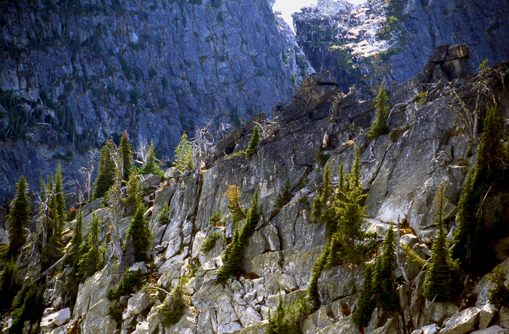
After boulder hopping around the lake. we headed up to the second lowest notch in the back wall. When you can hike up thru greenery, do so, but soon you will have to start a really fun scramble to the crest.
Just above ridge to the left (S). is a great place to rest and grab snacks and images.
As we were eating, we noticed a cool high meadows to the NW of the lake, and below us to the SE.
We dropped off the crest, and headed SSW to the far ridge line east of Peak 7171'.
Once on this ridge, head east high above the lake.
While walking this ridge, always stay centered on the ridge. Do not allow your path to drop off either side of the ridge.
As you get closer to the campsite area at Harrison Lake, work your way carefully to the north down a steep but safe patch of greenery to the Upper Pack River.
Walk back out to the lake, to marvel at the cool route you just did, and have a snack before heading to the trailhead.
None of this OPTION is on any kind of trail, so yahoo a lot, along the way.
DIRECTIONS:
From Sandpoint drive north on 95 to Samuel. Turn left (west) on to the Pack River Road #231 for 19 miles to Beehive Lake trailhead.
COOL THINGS CLOSE BY:
Little Harrison Lake, Harrison Lake, Harrison Peak, Fault Lake, the Kootenai National Wildlife Refuge, the Purcell Trench, Sandpoint, and Lake Pend Orielle
HAZARDS:
The trail is easy, just longish.
Whenever you are on granite, be careful to not fall, and watch for rocks that move when you walk on them.
I always yell ROCK N ROLL, to let hikers behind me know.
Whenever you are on granite, be careful to not fall, and watch for rocks that move when you walk on them.
I always yell ROCK N ROLL, to let hikers behind me know.
R & P:
Jalapeños, Mr. Sub, Burger Express, and Eichardt’s in Sandpoint
PLAN YOUR TRIP:
PHOTO GALLERY
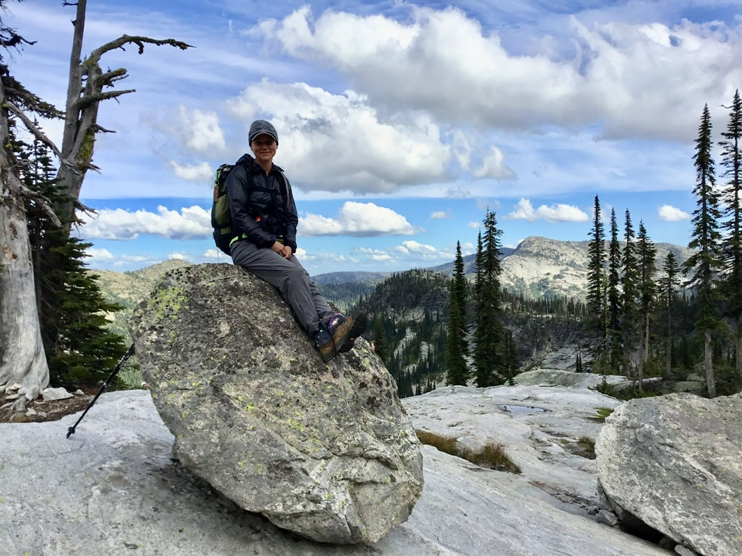
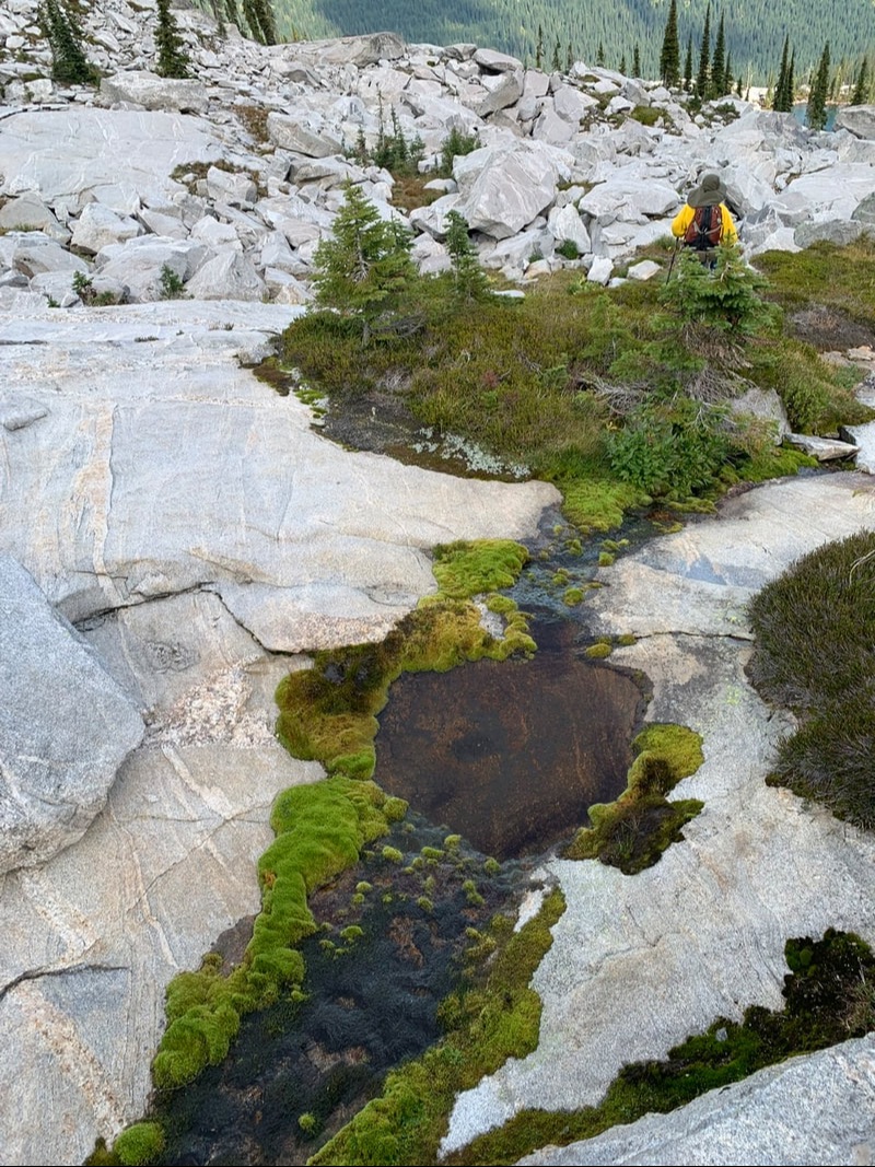
WALKING ON SELKIRK GRANITE IS A DELIGHT
PHOTO BY JENNIFER STONE
HIKERS DESCENDING OFF THE SELKIRK CREST. PHOTO BY JENIFFER STONE
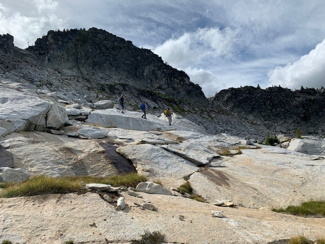
HIGH ABOVE LITTLE HARRISON LAKE ON THE ASCENT
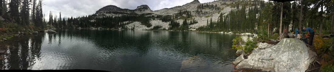
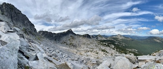
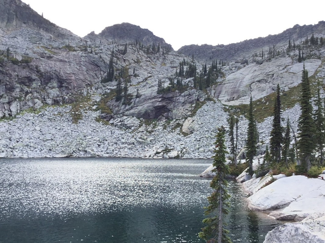
A PANORAMA OF LITTLE HARRISON LAKE
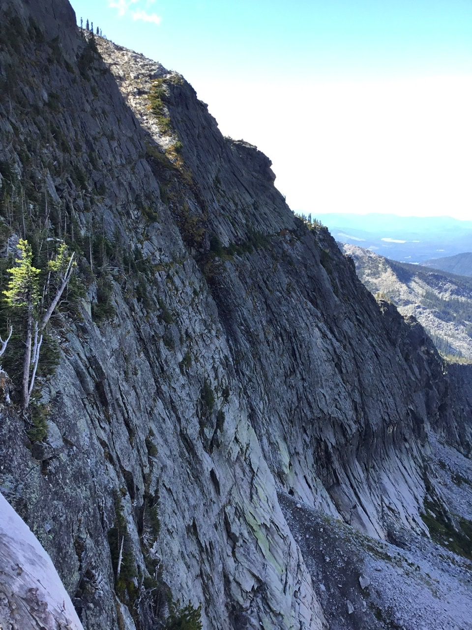
THE NORTH FACE OF THE NORTH TWIN OF THE SEVEN SISTERS
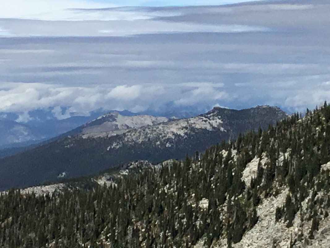
THE VIEWS FROM THE SELKIRK CREST ARE BREATH TAKING
THE PHOTOGRAPHER ABOVE, IS TAKING AN IMAGE OF LOOKOUT MOUNTAIN
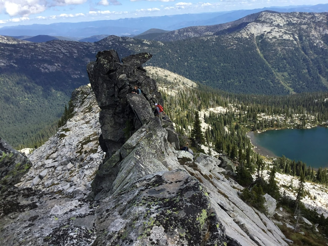
A PROMINENCE ON THE RIDGE BETWEEN BEEHIVE & LITTLE HARRISON LAKES
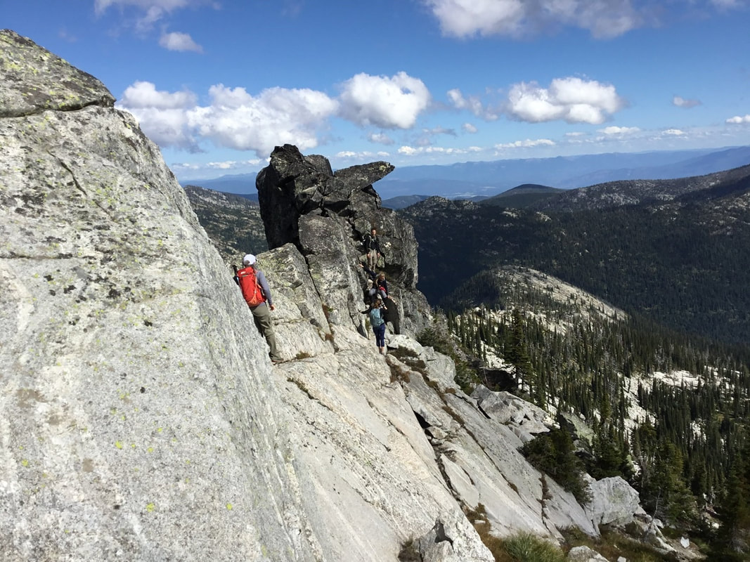
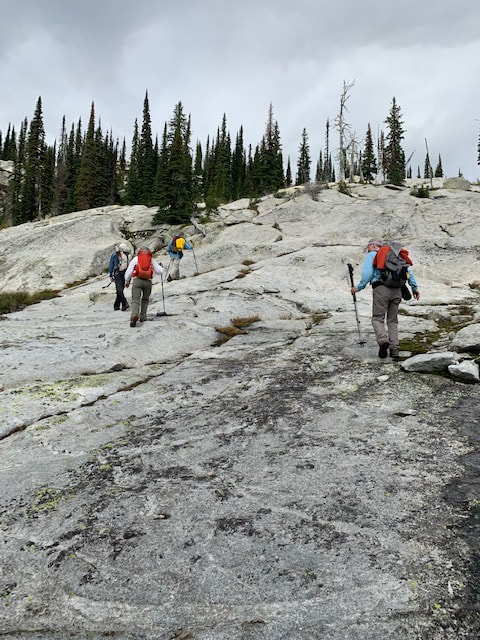
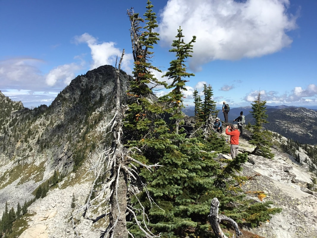
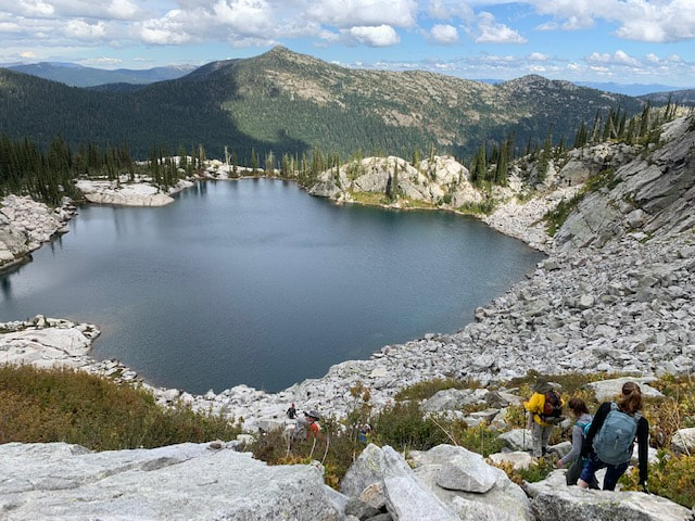
SCRAMBLERS GOING OUT FOR A BETTER VIEW
PHOTO BY JENNIFER STONE
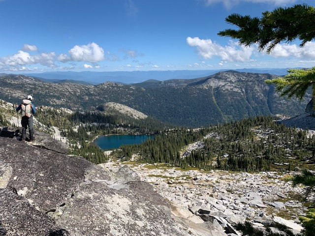
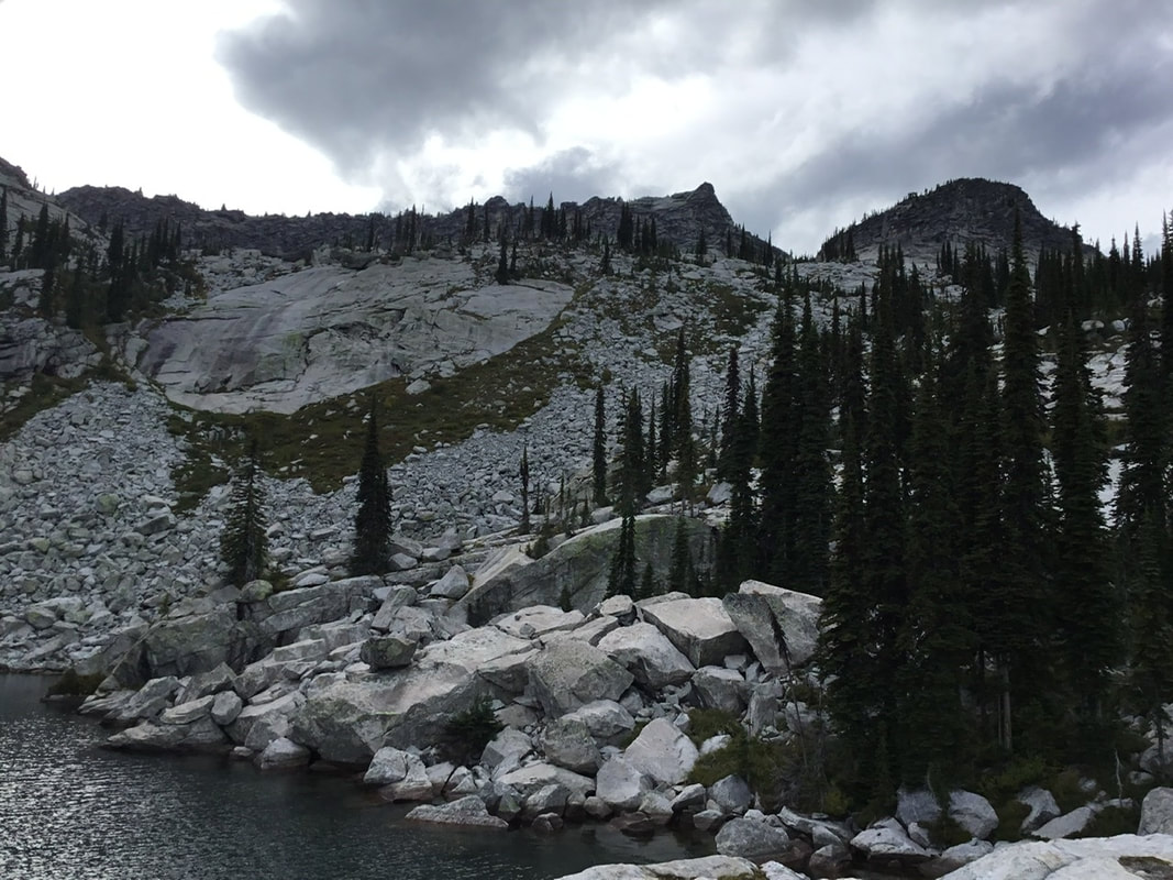
BEEHIVE LAKE AND THE BEEHIVE DOME
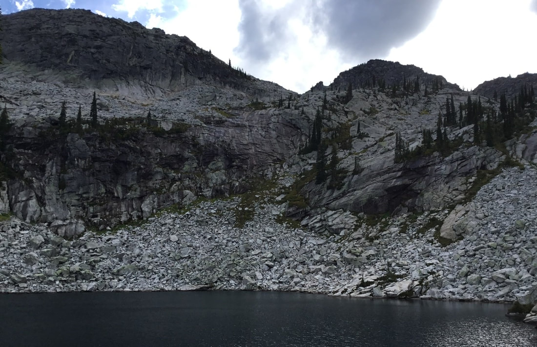
THE SELKIRK CREST HIGH ABOVE LITTLE HARRISON LAKE. N. TWIN ON BACK LEFT
THE NORTHERN PART OF THE SEVEN SISTERS FROM ABOVE LITTLE HARRISON LAKE
HIKER HEADING DOWN TO LITTLE HARRISON LAKE.
PHOTO BY JENIFFER STONE
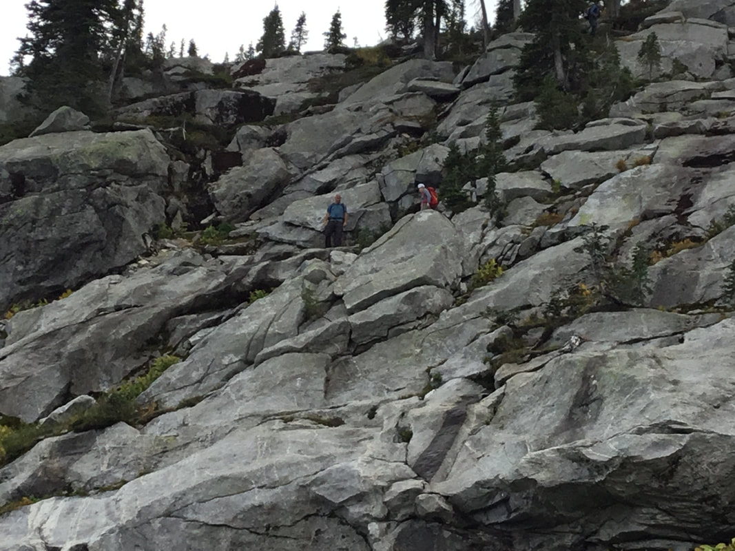
SCRAMBLERS PICKING THEIR WAY DOWN THRU THE HUGE GRANITE BOULDERS
SCRAMBLERS HEADING TO LITTLE HARRISON LAKE,
PHOTO BY JENNIFER STONE
THE DESCENT ROUTE WAS TO THE RIGHT OF THE POINTED PEAK
THE NORTH TWIN HIGH ABOVE LITTLE HARRISON LAKE
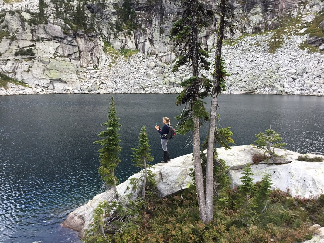
AMY TAKING AN IMAGE ACROSS LITTLE HARRISON LAKE
THE NORTH TWIN ABOVE LITTLE HARRISON LAKE