MICKINNICK TRAIL #13
EVENT TYPE: day hiking
DISTANCE: 7 miles RT
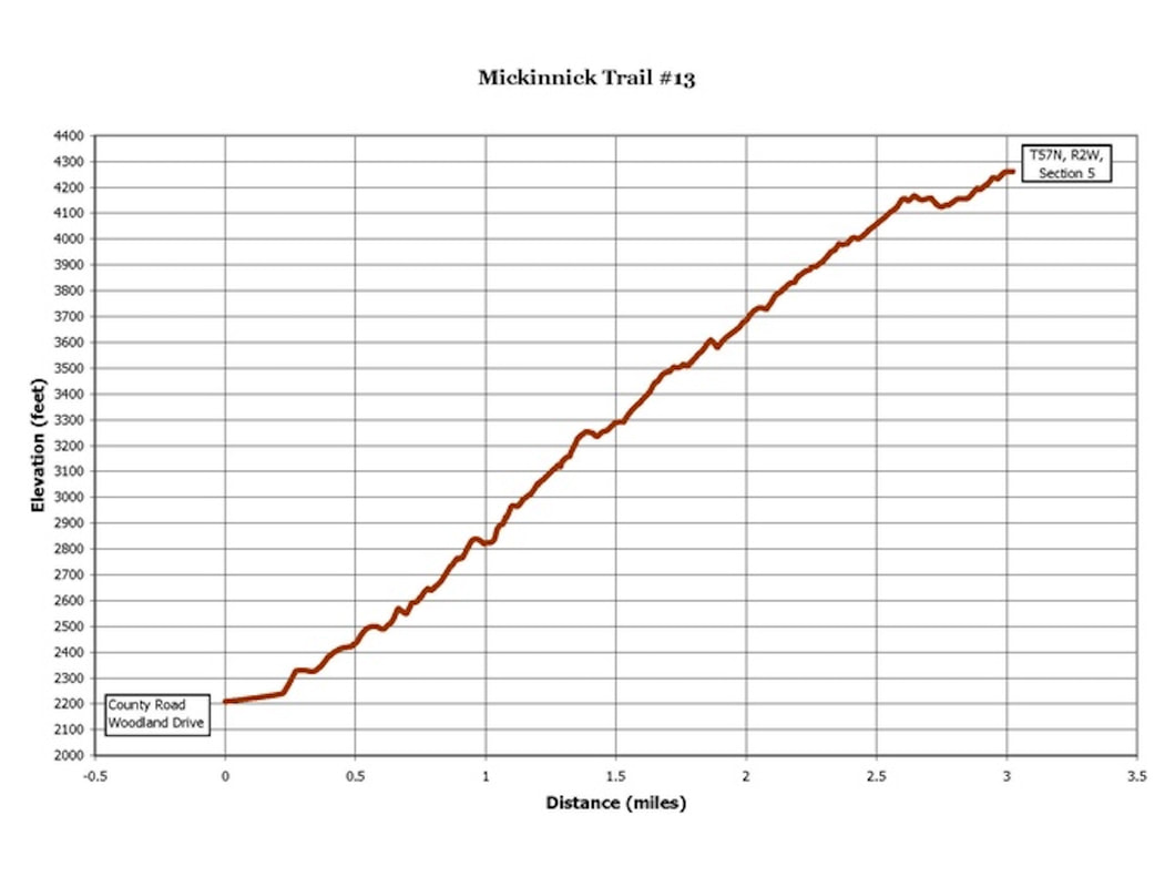
ELEVATION GAIN: 2150 verts
DIFFICULTY: Easy +
MAPS: IPNF, KANIKSU N. F.
GPS: 48°18’39 N 116°34’05” W
RANGER DISTRICT: Sandpoint R.D. 208.263.5111
BONNER COUNTY SHERIFF: 911 or 208.263.8417
DISTANCE: 7 miles RT
ELEVATION GAIN: 2150 verts
DIFFICULTY: Easy +
MAPS: IPNF, KANIKSU N. F.
GPS: 48°18’39 N 116°34’05” W
RANGER DISTRICT: Sandpoint R.D. 208.263.5111
BONNER COUNTY SHERIFF: 911 or 208.263.8417
DESCRIPTION:
WE HAVE ADDED THE AREAS SHERIFF’S EMERGENCY PHONE NUMBERS FOR EACH TRIP WRITE UP UNDER THE RANGER DISTRICT INFO. IF AN EMERGENCY OCURRS, EVALUATE YOUR CIRCUMSTANCES AND CALL ONLY IF NEEDED.
In 2005, the Mickinnick Trail was opened. Nicky Pleass donated 160 acres of land to be a park and trail in memory of her late husband Mick, in 1997.
Involved in making this trail come true thru grants and partnerships were Idaho Panhandle Resource Advisory Committee, the city of Sandpoint, Bonner County, the BLM, the USFS, and the Friends of the Mickinnick Trail.
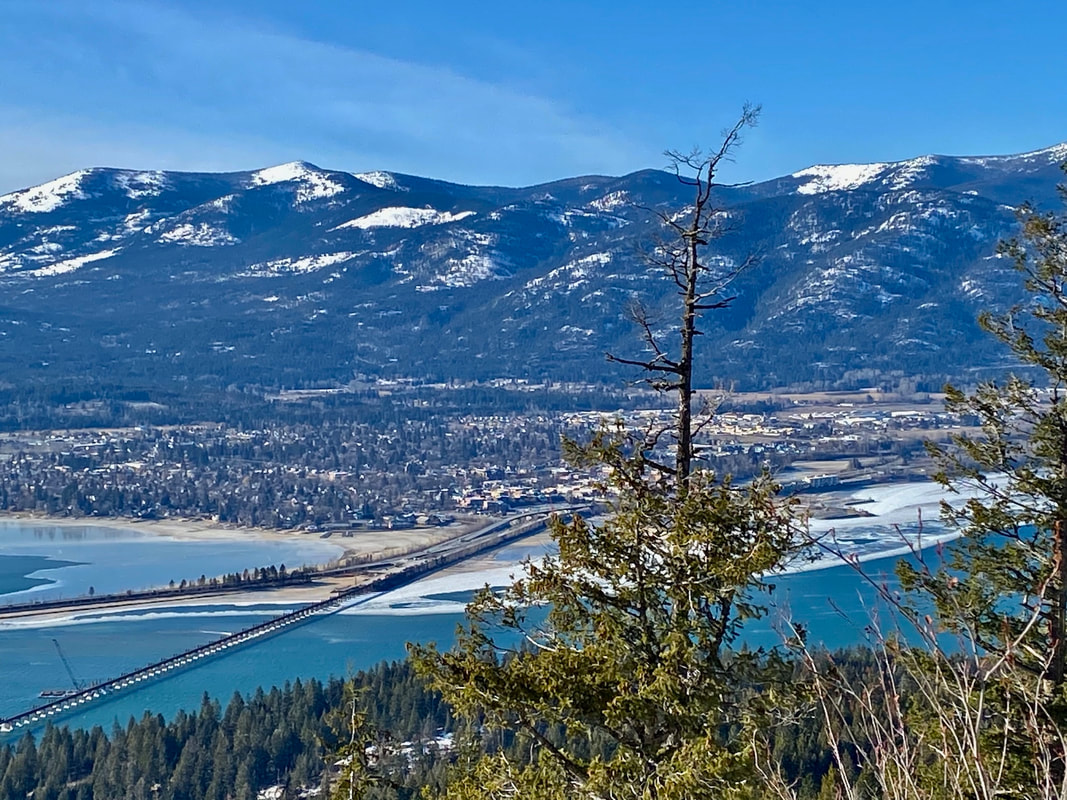
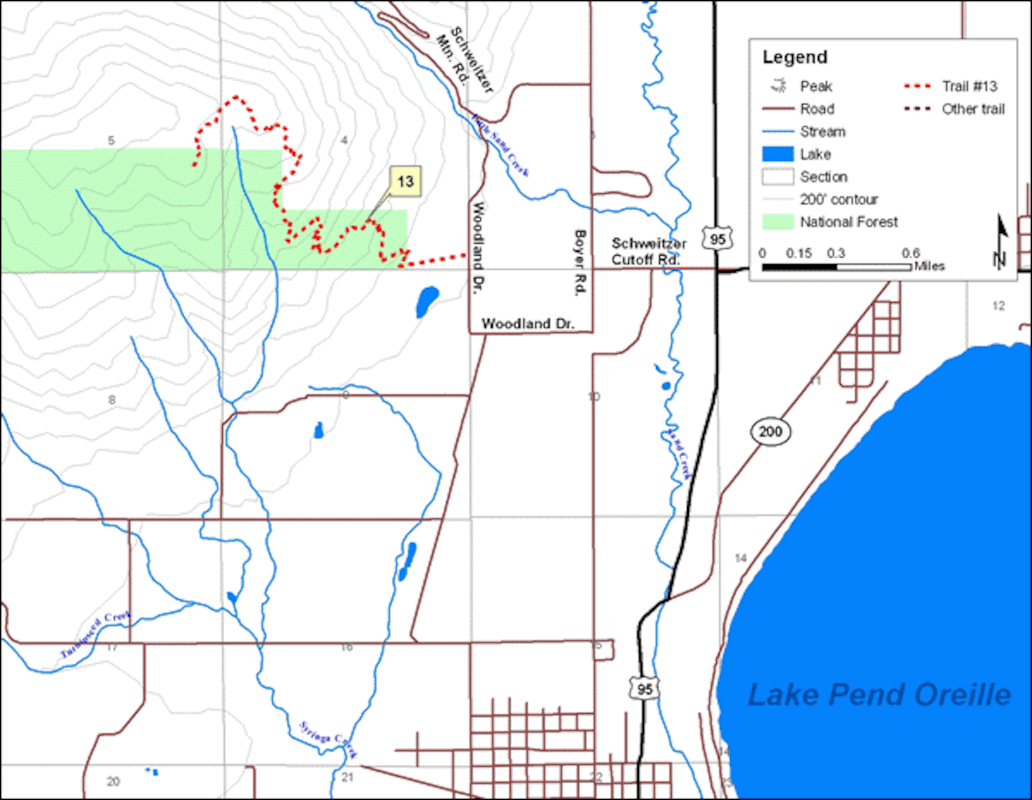
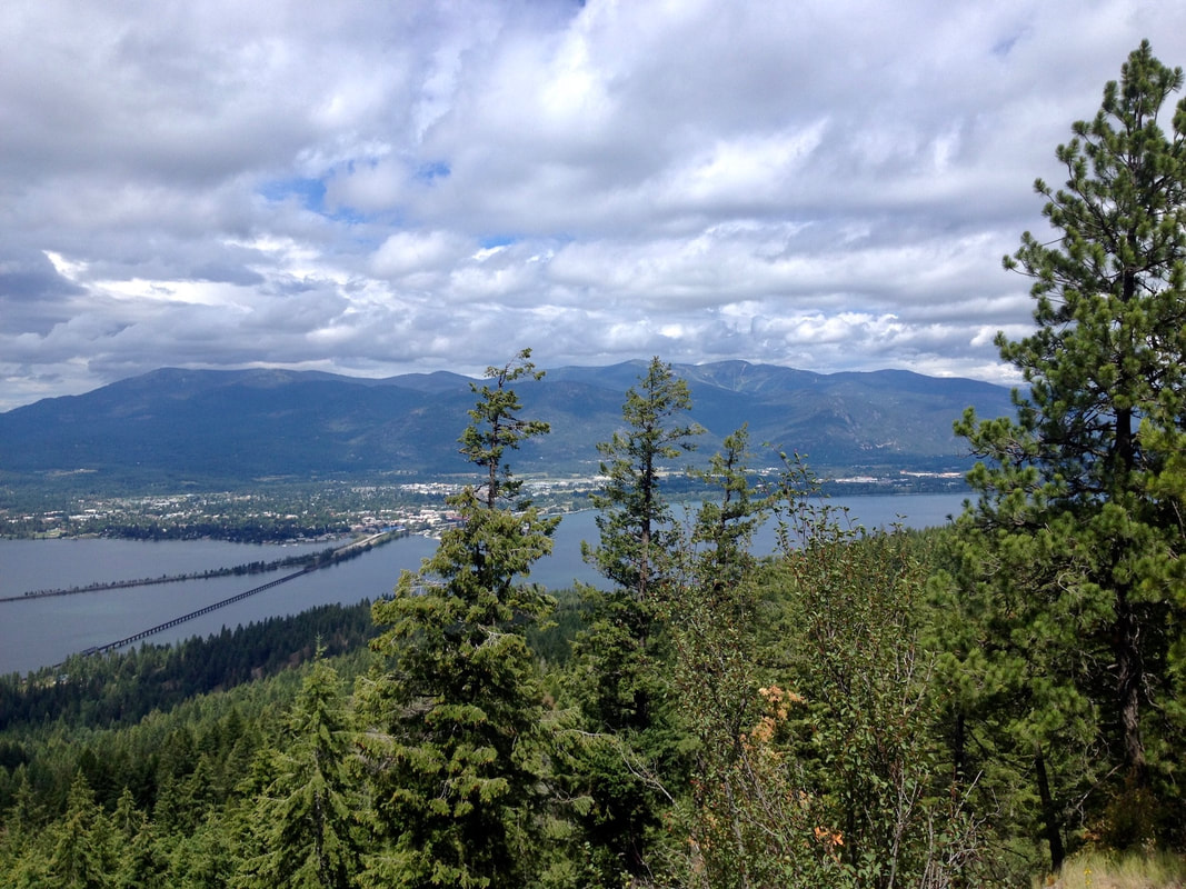
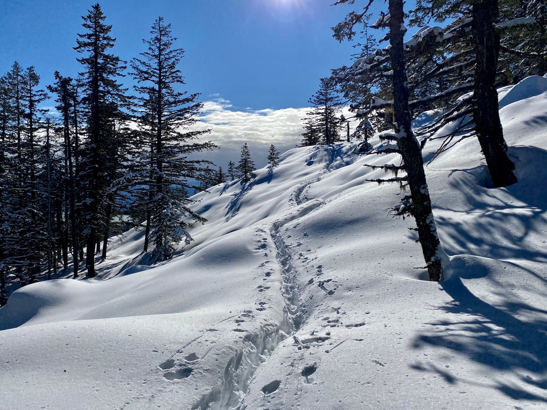
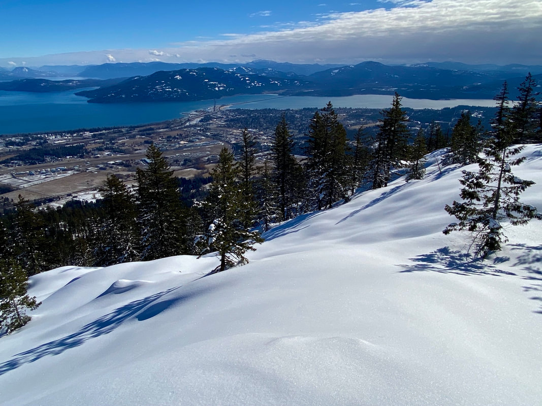
The trail climbs the SE flank of Bald Mountain, thru Rocky outcropping, grassy and wet meadows, and old growth forests. The trail has about 25 switchbacks as it climbs 2150’ to the high meadows over looking Sandpoint, and the Pend Orielle Lake.
DIRECTIONS:
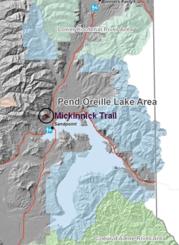
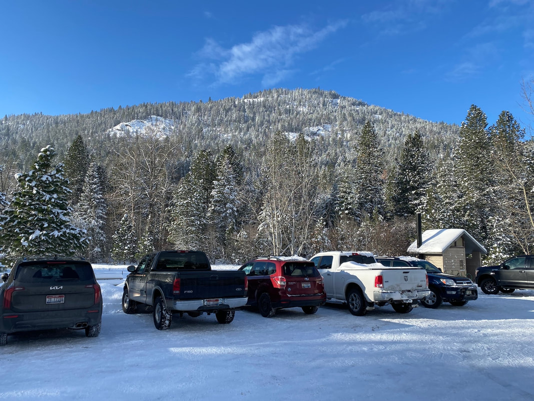
From Sandpoint, take Hwy 95 north for 1.3 miles to the Schweitzer Mountain Road, and turn left (west)for .5 miles and turn right (north) for .8 miles, then turn left at the Schweitzer Resort sign. Drive .5 miles to Woodland drive and turn left for .7 miles to the trailhead on the right side of the road.
COOL THINGS CLOSE BY:
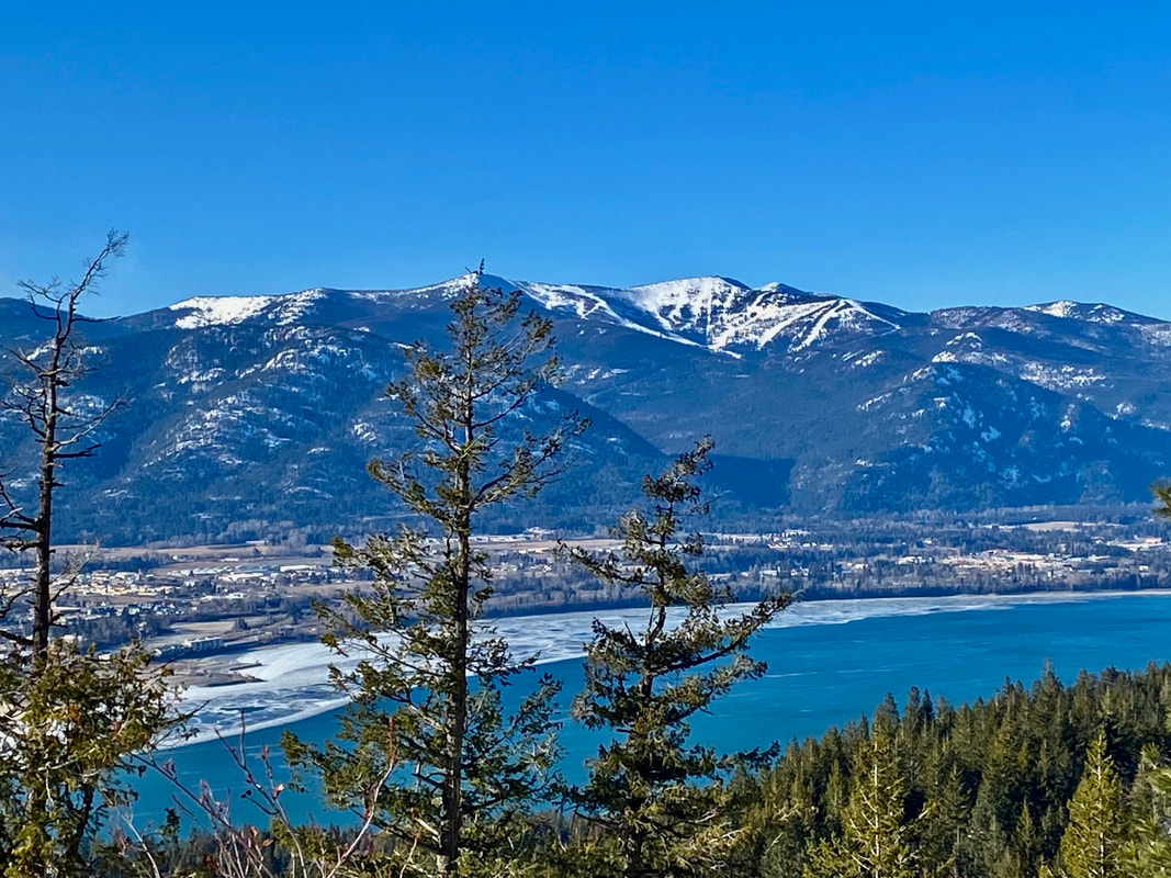
Schweitzer Resort, the American Selkirks, Pend Orielle Lake, Pend Orielle Bay Trail, Priest River, Pack River, and the Proposed Scotchman Peaks Wilderness.
HAZARDS:
I counted 25 switchbacks, some rocky trail sections, and 2150’ in 3.5 miles
R & P:
Jalapeños, Burger Express, Eichardt’s, Mr. Sub
