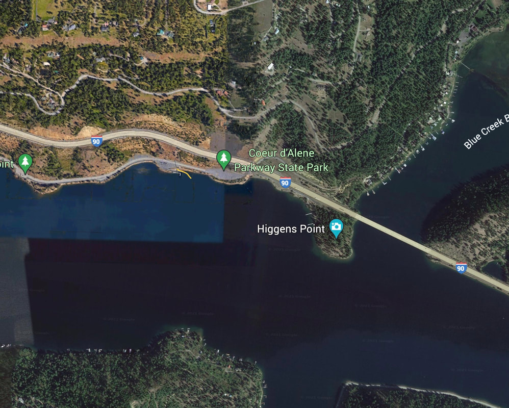
HIGGINS POINT LAUNCH
PADDLE DISTANCE: varies
ELEVATION: 2128’
LENGTH AND ACREAGE: varies
MAPS: IPNF, Fernan topo
LAUNCH GPS: 47°37’47” N 116041’28” W
KOOTENAI COUNTY SHERIFF: 208.446.1300
ELEVATION: 2128’
LENGTH AND ACREAGE: varies
MAPS: IPNF, Fernan topo
LAUNCH GPS: 47°37’47” N 116041’28” W
KOOTENAI COUNTY SHERIFF: 208.446.1300
DESCRIPTION:
WE HAVE ADDED THE AREAS SHERIFF’S EMERGENCY PHONE NUMBERS FOR EACH TRIP WRITE UP UNDER THE RANGER DISTRICT INFO. IF AN EMERGENCY OCURRS, EVALUATE YOUR CIRCUMSTANCES AND CALL ONLY IF NEEDED.
Higgins Point Launch is located on the end of a lake CDA Drive. It has two launch lanes and is very busy during the summer, especially on the weekends and holidays.
From the parking area next to the launch, is a paved trail to Higgins Point. The point has swimming, docks, fishing, and is a great spot to view the eagles.
ATTRACTIONS
December 15th thru January are incredible times to view the eagles. Boat launch, hiking trail around Higgins Point. Great rollerblading, bicycling, and boating.
DIRECTIONS:
From the east end of Sherman Avenue, turn right (south) on to Lake CDA Drive. Continue to Higgins Point.
COOL THINGS CLOSE BY:
Wolf Lodge Bay, Beauty Bay, and Booth Park Launch,
R & P:
Trails End Brewery, Franklins Hoagies, Mexican Food Factory, and Moon Time


