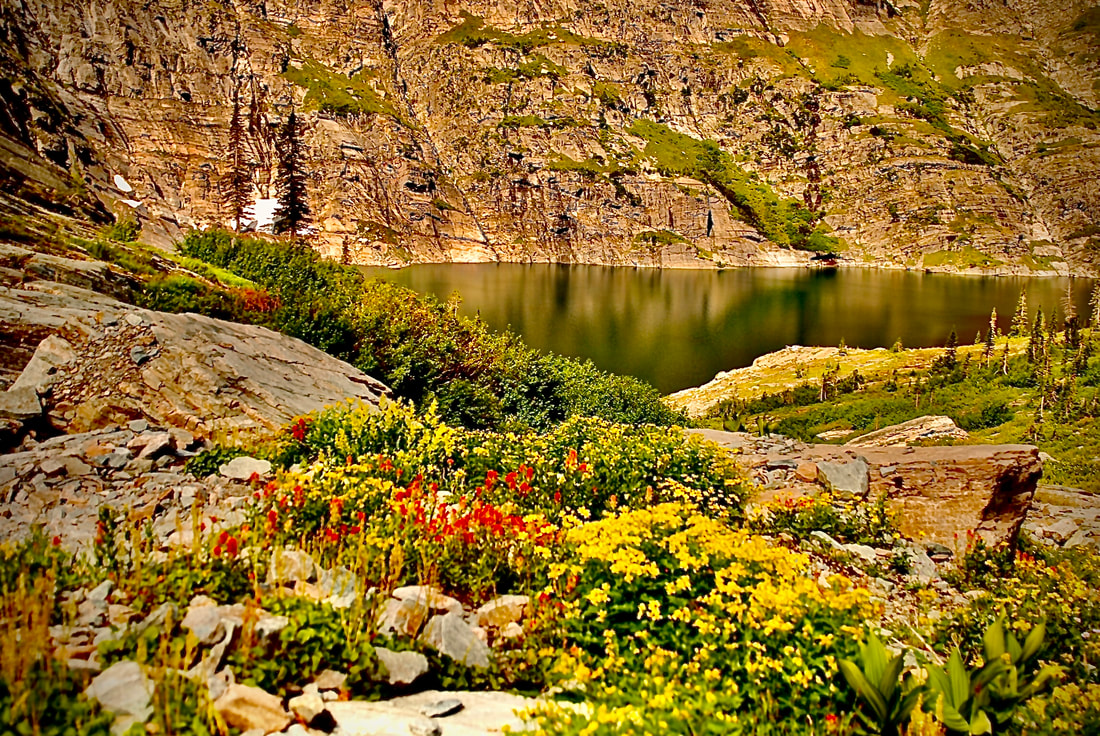
THE GREEN MONARCHS
EVENT TYPE: Day hiking, backpacking, and equestrian
DISTANCE: 6+ miles RT
ELEVATION GAIN: 1600’
DIFFICULTY: Moderately difficult
MAPS: IPNF, Kaniksu N. F., Packsaddle Mountain Topo
GPS: Trailhead. 48°05’ 53”N 116°17’ 28” W
RANGER DISTRICT: Sandpoint R.D. 208.263.5111
BONNER COUNTY SHERIFF: 911 or 208.263.8417
DISTANCE: 6+ miles RT
ELEVATION GAIN: 1600’
DIFFICULTY: Moderately difficult
MAPS: IPNF, Kaniksu N. F., Packsaddle Mountain Topo
GPS: Trailhead. 48°05’ 53”N 116°17’ 28” W
RANGER DISTRICT: Sandpoint R.D. 208.263.5111
BONNER COUNTY SHERIFF: 911 or 208.263.8417
DESCRIPTION:
WE HAVE ADDED THE AREAS SHERIFF’S EMERGENCY PHONE NUMBERS FOR EACH TRIP WRITE UP UNDER THE RANGER DISTRICT INFO. IF AN EMERGENCY OCURRS, EVALUATE YOUR CIRCUMSTANCES AND CALL ONLY IF NEEDED.
One of the cool things about this trail, is that it is on a long ridge. The views of Pend Orielle Lake from over 3000 feet above, offers a tranquil hike. Boats on the lake, look very small, all along this ridge line, There are a few high points that also offer great views.
Whether you stop at Green Monarch Mountain 5076’ or continue to Schafer Peak 5210’ and it’s old lookout tower, this hike offers many spectacular views. To the north east, the Proposed Scotchman Peaks Wilderness and the Cabinet Mountain Wilderness stand high on the horizon. After the hike, near Johnson Creek there is a waterfall to see and at Johnson Creek there is a boat launch where you can take a swim to clean off.
DIRECTIONS:
From Sandpoint, Head east on Hwy 200 to Clark Fork. At Clark Fork, look for the Clark Fork Pantry. They make excellent sandwiches and have peanut butter cookies that are worth the drive.
Just east of the pantry, look for signs to Johnson creek. You will cross the Clark Fork River and turn right (westish) towards the Johnson Creek Campgrounds. Turn south onto FR 278 for about 9.7 miles to the Johnson Saddle and bear right to the trailhead.
Just east of the pantry, look for signs to Johnson creek. You will cross the Clark Fork River and turn right (westish) towards the Johnson Creek Campgrounds. Turn south onto FR 278 for about 9.7 miles to the Johnson Saddle and bear right to the trailhead.
COOL THINGS CLOSE BY:
The Proposed Scotchman Peaks Wilderness, the Cabinet Mountain Wilderness, the Clark Fork River, Moose Lake & Peak Area, and the Lightning Creek Area.
HAZARDS:
You may find many downed trees along this trail, so be careful.
R & P:
Eichart's,, Burger Express, Mr Sub, and Jalapeños ion Sandpoint


