MOUNT CDA TRAIL N.R.T.#79 CARIBOU RIDGE
EVENT TYPE: Day hiking, backpacking, mt. biking, and equestrian.
DISTANCE: 10.6 miles RT. About a 14 mile loop with Trail #257
ELEVATION: 2112’
DIFFICULTY: difficult
MAPS: IPNF, CDA River Ranger District, Mount CDA Topo
GPS: Beauty Bay CG. 47°36’27” N 116°40’ 08” W.
RANGER DISTRICT: CDA River R.D. 208.769.3000
KOOTENAI COUNTY SHERIFF: CALL 911 FIRST or 208.446.1300
DESCRIPTION:
WE HAVE ADDED THE AREAS SHERIFF’S EMERGENCY PHONE NUMBERS FOR EACH TRIP WRITE UP UNDER THE RANGER DISTRICT INFO. IF AN EMERGENCY OCURRS, EVALUATE YOUR CIRCUMSTANCES AND CALL ONLY IF NEEDED.
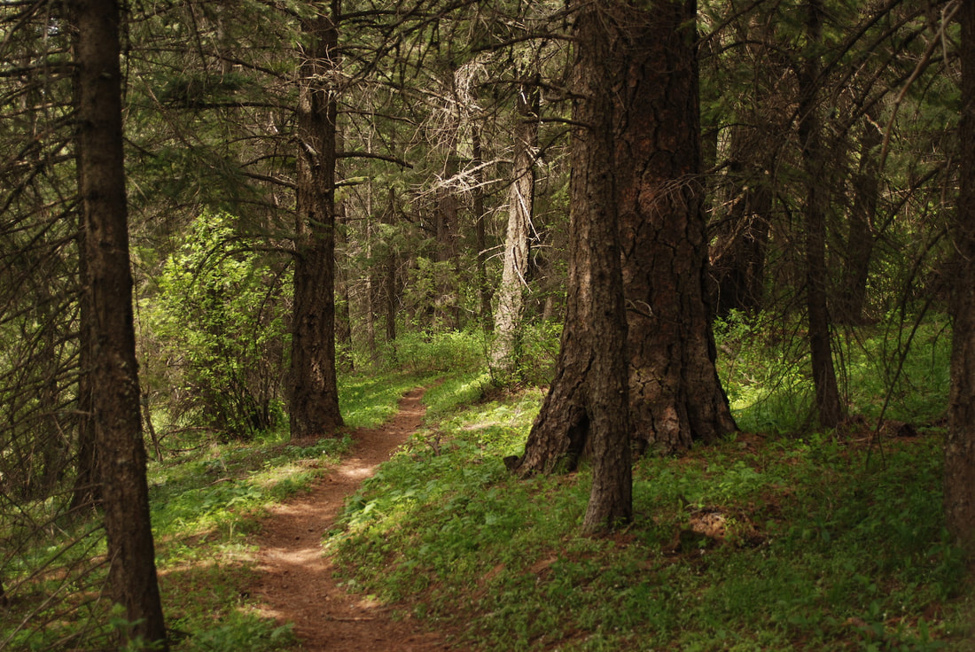
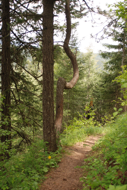
The trailhead for Trail # 79, starts at a parking area at the Beauty Creek Campground. Hike due south across Beauty Creek and up the trail. After 15 switchbacks, you will come to a road that you turn right onto to the Mount CDA viewpoint and campgrounds
Some of the switchbacks are very technical for hikers, and scary for mt. bikers, so be careful.
OPTION #1:
You can extend your hike/bike by continuing up Trail #227 to the summit of Mount CDA for about 2 miles.
OPTION #2:
Mt. Bike up trail #257 to FR #439, turn right to the Mount CDA Overlook and Campground. Look for Trail #79 that drops down to the Beauty Bay Campground.
DIRECTIONS:
From the Mineral Ridge parking area, drive about .2 miles and turn left up the Beauty Creek Road #438. In about .6 miles notice the campground and parking area on the right.
COOL THINGS CLOSE BY:
Trail #257, Mineral Ridge, Mount CDA, Beauty Creek, and Wolf Lodge Bay.
HAZARDS:
Some of the switchbacks are pretty difficult, so please be careful.
R & P:
Franklins Hoagies, Mexican Food Factory, Moontime, and the Trails End Brewery.
