FRENCHMAN COULEE, WASHINGTON SCABLANDS
EVENT TYPE: Day hiking, backpacking, equestrian, mt biking, climbing
DISTANCE: 4 miles RT
ELEVATION: 100’ to the falls. 400-500 ‘ to the rim
DIFFICULTY: easy to the falls. Moderate to the rim
MAPS: Washington Dept. Fish & Wildlife, Columbia Basin Wildlife Area, Bancock Ridge topo
GPS: 47°08’38” N 119°59’52” W
MANAGING AGENCY: W. D.F.& W. 509.765.6641
GRANT COUNTY SHERIFF: CALL 911 FIRST or 509.754.2011
DESCRIPTION:
WE HAVE ADDED THE AREAS SHERIFF’S EMERGENCY PHONE NUMBERS FOR EACH TRIP WRITE UP UNDER THE RANGER DISTRICT INFO. IF AN EMERGENCY OCURRS, EVALUATE YOUR CIRCUMSTANCES AND CALL ONLY IF NEEDED.
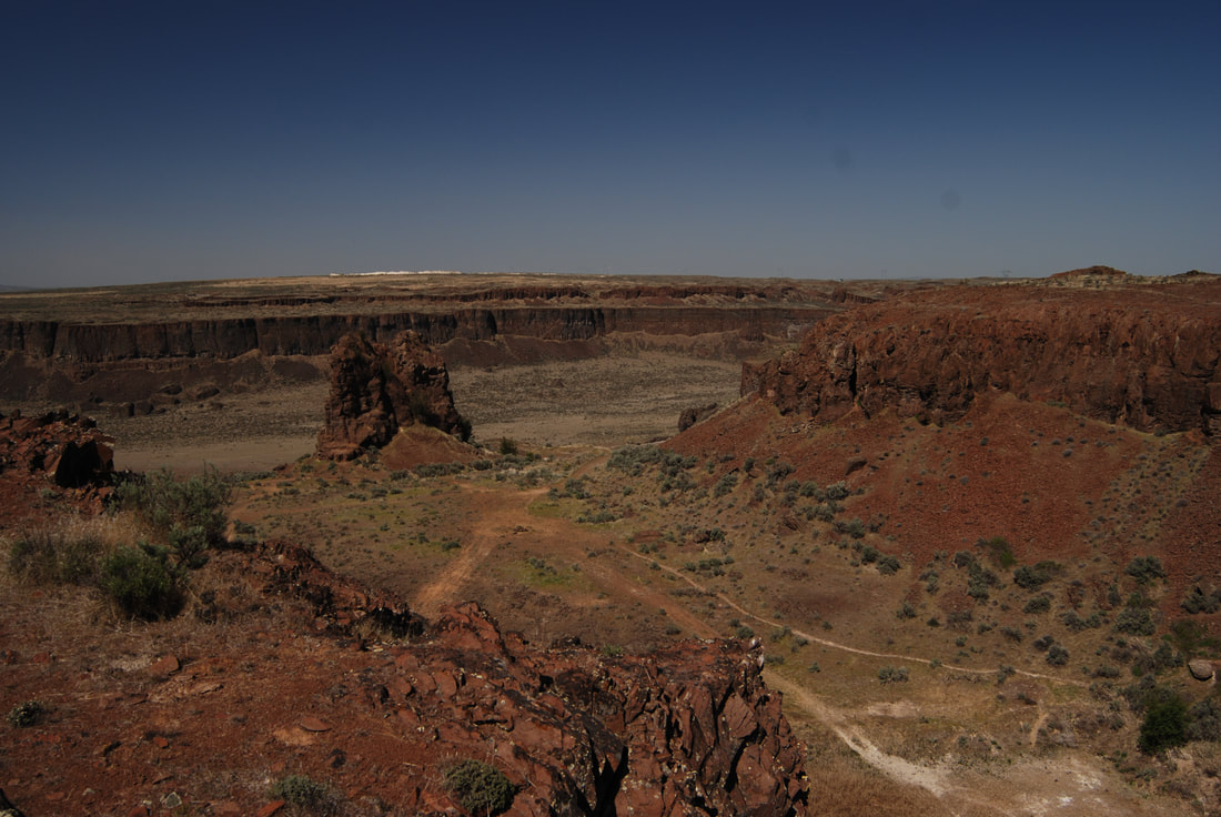
From the parking area, the trail heads NE for about .2 miles to a “Y”, and bear right. After about another .2 miles bear right (east) up into the coulee.
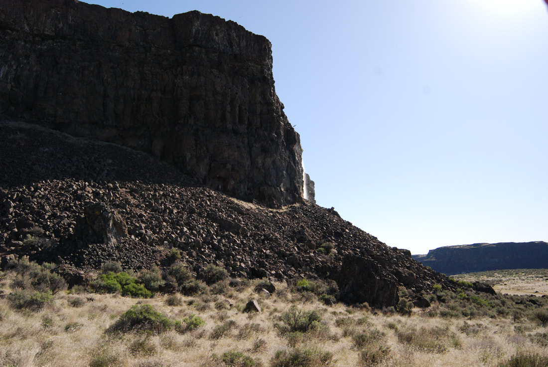
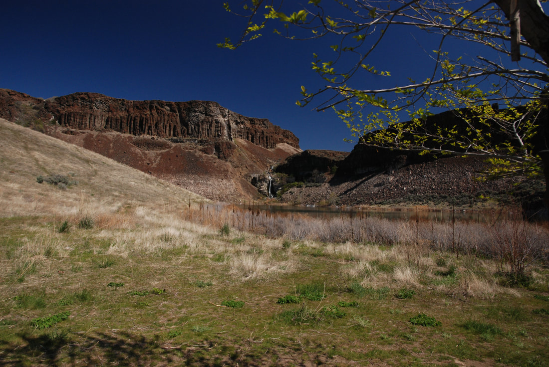
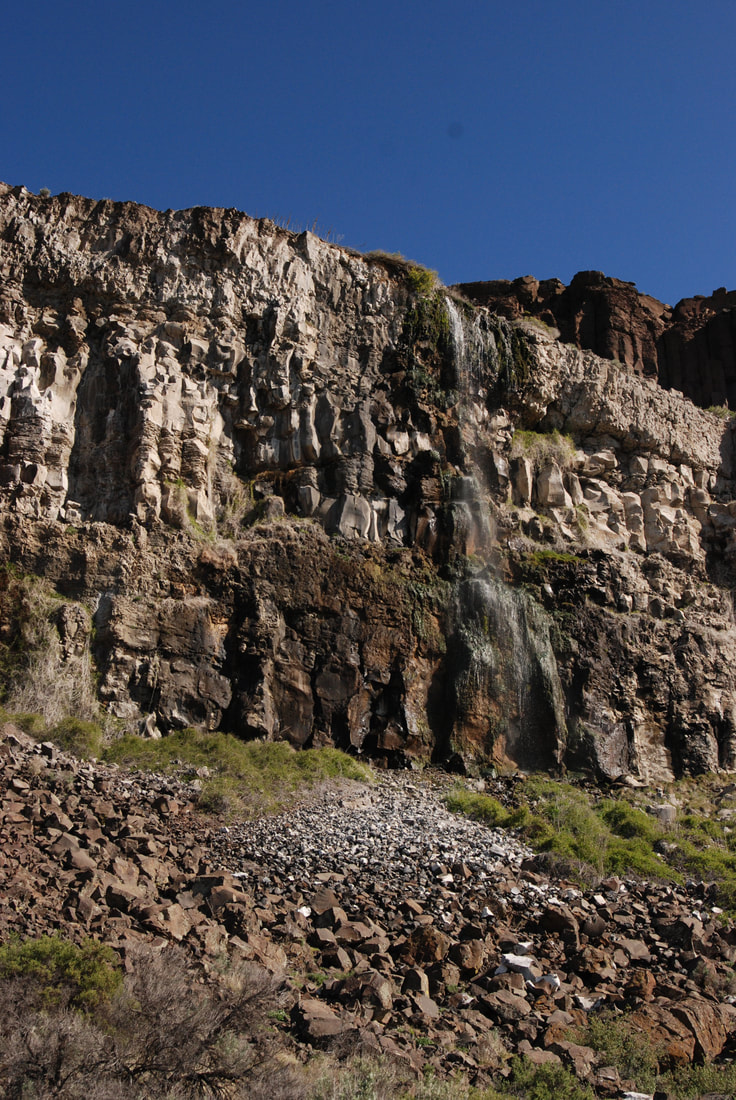
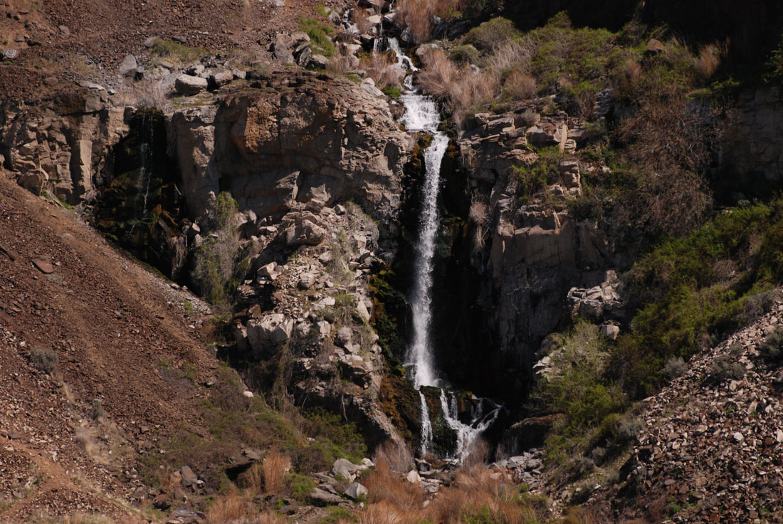
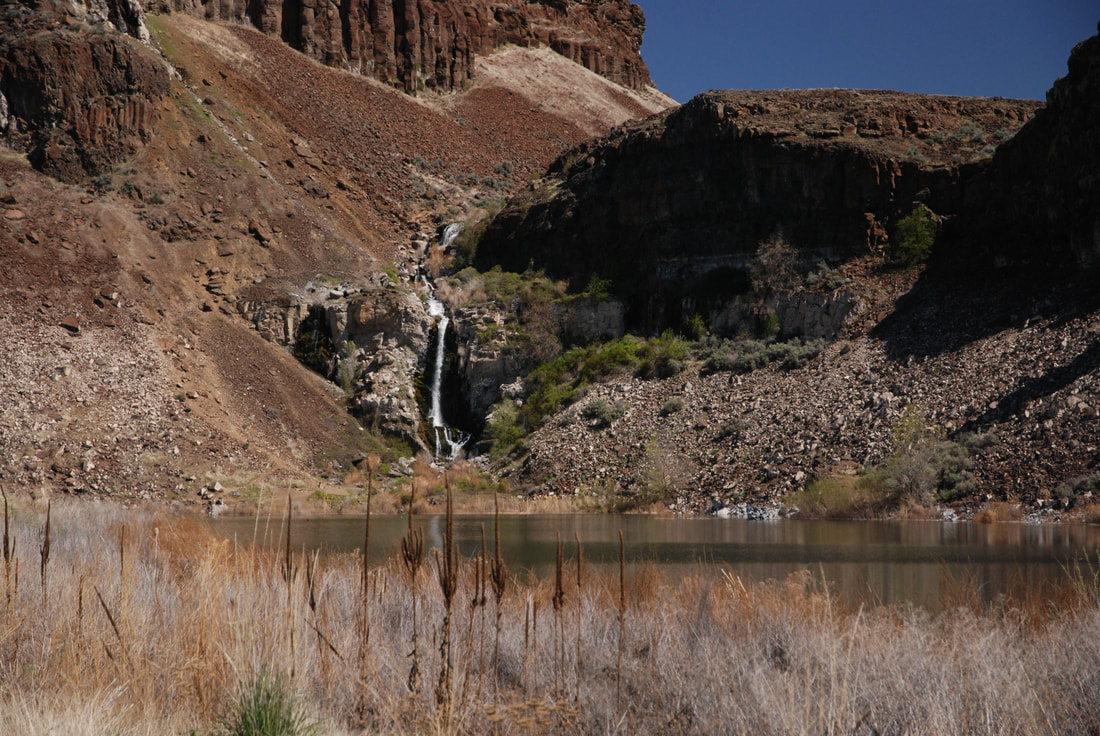
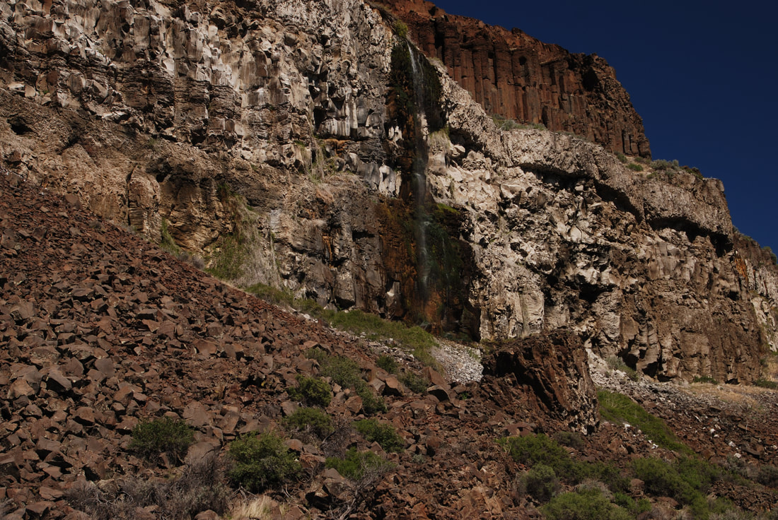
About 2 miles up the coulee, take note of the waterfall along the north rim. As you pass beneath the power lines, walk towards the waterfall.
This fall is intermittent run off from area farms. Do not drink or purify the water.
In early spring the area is carpeted with wildflowers.
Hiking in the Washington Scablands in the summer is very hot and dry.
Take extra water with you, and protect yourself from the blistering sun.
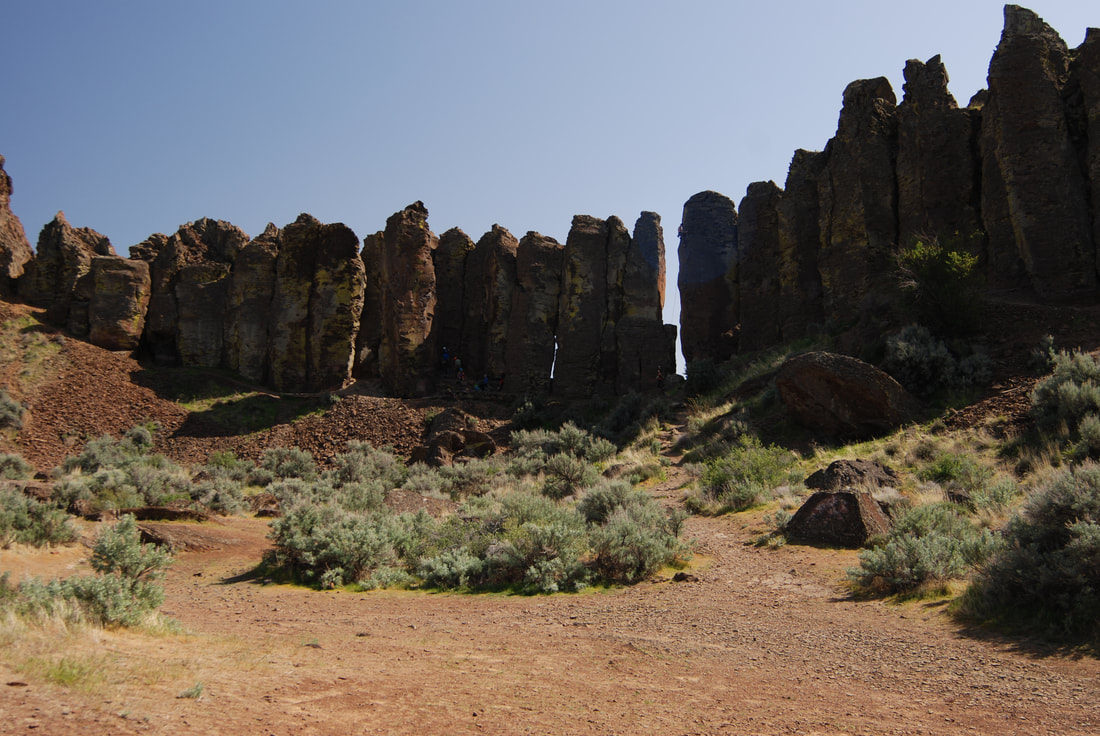
The Spokane Mountaineers were contributors to the pit toilets that are now in use near the Feathers and camping area.
OPTION #1:
To extend your hike, walk the old road for about .4 miles above the falls and out of the coulee.
You can either retrace your steps back to the cars, or you can walk along the high rim, west, back towards the Babcock Bench. The views of the mighty Columbia River stretch out before you.
You can either retrace your steps back to the cars, or you can walk along the high rim, west, back towards the Babcock Bench. The views of the mighty Columbia River stretch out before you.
DIRECTIONS:
Drive I-90 west to exit #143, and turn right (north) on Silica Road. After about .8 miles turn left (west) onto the Vantage Road, which was the old Hwy 10. After about 3.6 miles you will drop back down into Frenchman Coulee. Stop by and watch the climbing community on the Feathers.
HAZARDS:
As in all the Scablands, DO NOT DRINK SURFACE WATER. TAKE ALL YOU WILL NEED. Filtering won't do the job
And ALWAYS be on the lookout for rattlesnakes. They won’t strike unless you invade their space. There are ankle shields you can buy, to protect yourself.
Keep in mind that snakes come out to warm up nine the sun. So be aware that south, south east & west sides of rocks and bushes, may be where they are at.
A WORD OF CAUTION WHILE HIKING IN THE SCABS
Because the terrain you will be in while hiking, you must be aware of your surroundings.
Note all high points and landmarks. Even those off in a distance. Take a picture of them to use if you need to orientate yourself.
They can be use to gain perspective of your current location, as apposed to your entry route.
ALWAYS MAKE SURE EACH HIKER IS CARRYING A MAP OF THE AREA.
AND DO NOT ALLOW ANY HIKER IN YOUR GROUP TO WONDER OFF.
YOUR GROUP MUST STAY TOGETHER.
There are safety shin guards you can buy to protect from snake bites.
COOL THINGS CLOSE BY:
Quincy Lakes, the Columbia Basin Wildlife Area, the Columbia River, the Gorge music venue, and Breezy Hills.
R & P:
Lenny’s In Cheney.
PHOTO GALLERY
