MARIE CREEK TRAIL #241
EVENT TYPE: Day hiking, backpacking, and equestrian
DISTANCE: up to 7 miles RT, 14 mile loop
ELEVATION: About 300 verts verts, about 700 verts to do the loop.
DIFFICULTY: along the creek it’s easy. Beyond the creek it’s moderate
MAPS: IPNF,
GPS: 47°40’37” N 116°35’08” W
RANGER DISTRICT: CDA River R.D. 208.769.3000
KOOTENAI COUNTY SHERIFF: 911 or 208.446.1300
DESCRIPTION:
WE HAVE ADDED THE AREAS SHERIFF’S EMERGENCY PHONE NUMBERS FOR EACH TRIP WRITE UP UNDER THE RANGER DISTRICT INFO. IF AN EMERGENCY OCURRS, EVALUATE YOUR CIRCUMSTANCES AND CALL ONLY IF NEEDED.
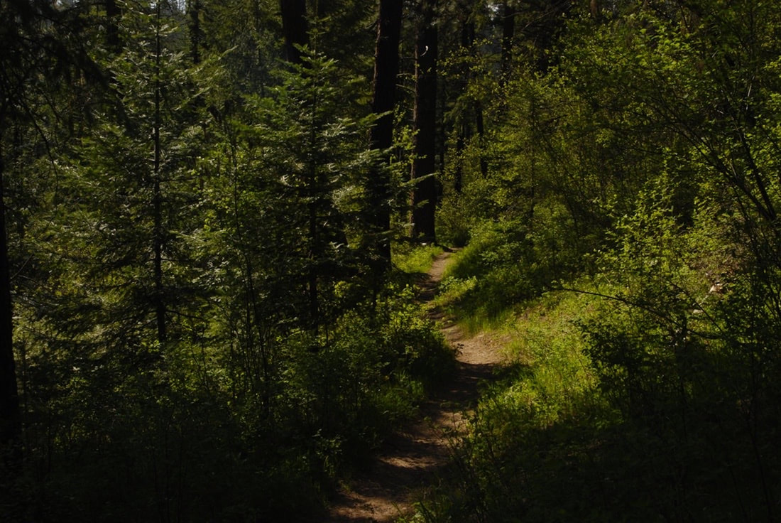
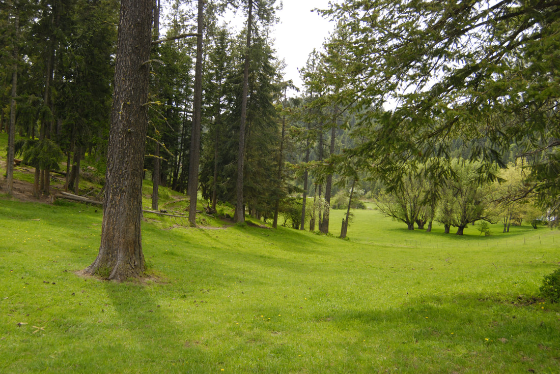
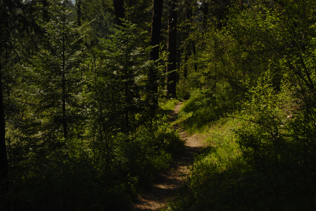
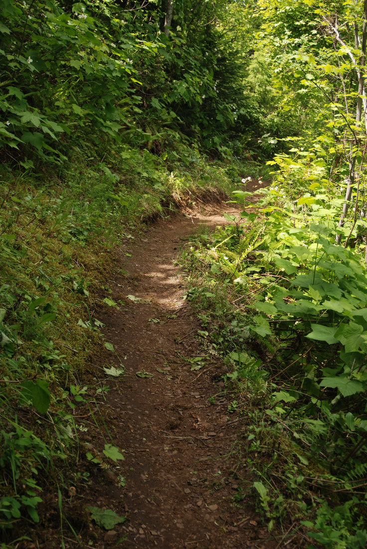
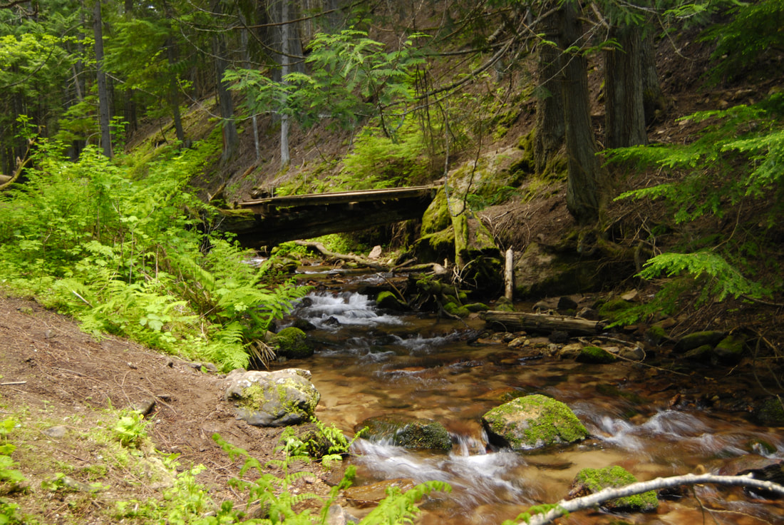
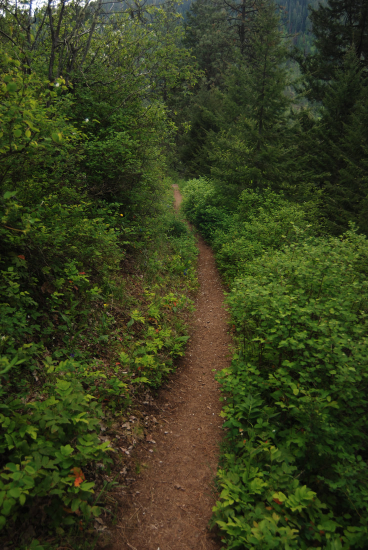
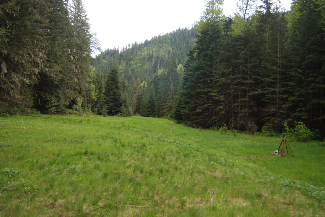
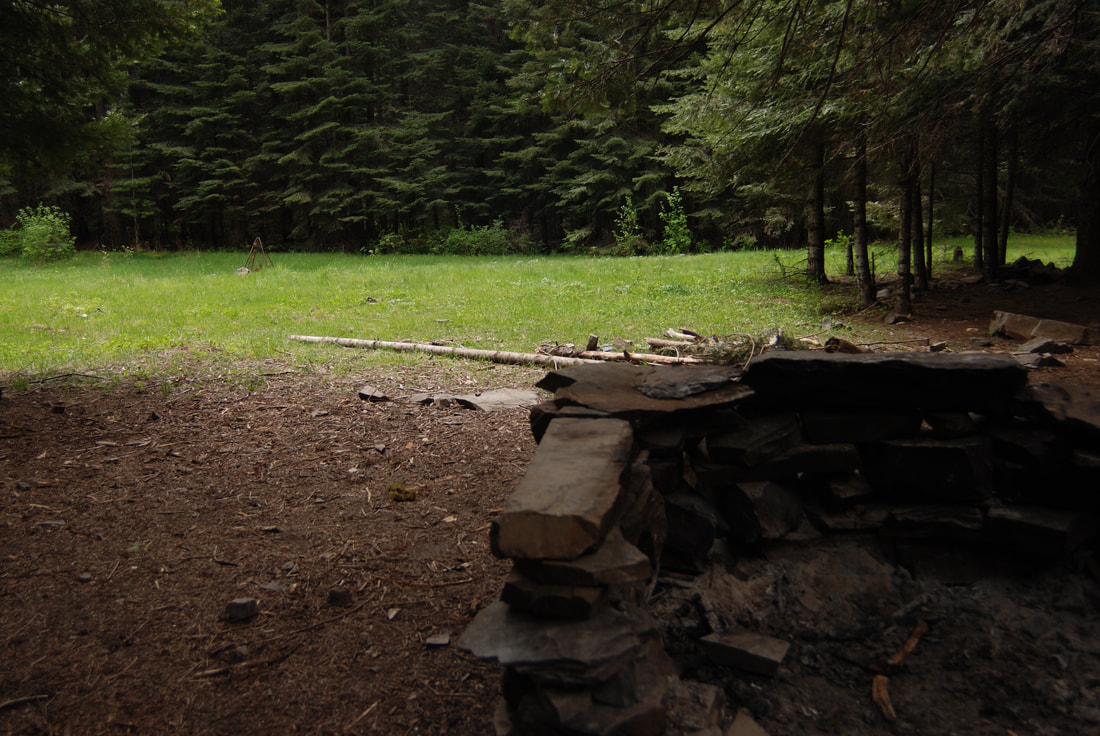
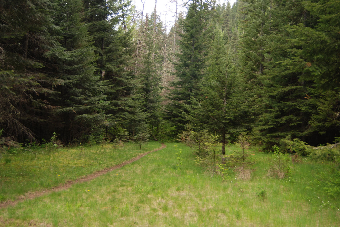
The Marie Creek trailhead starts in a large clearing that is shared with the equestrian folks. At the far NE end of the parking lot, the trail immediately crosses Marie Creek. It continues thru the woods, not gaining much elevation until about 1.5 miles in. It then climbs up over and into a few side creek drainages, then drops down along a Marie Creek. After a short time, the trail breaks out in a long clearing. Off to your left is some stone work made into fire pits with seating. Once back on the trail, the forest isn’t so dense, and nears Marie Creek which you may have to cross a few times, until it comes to a wide washed out area. This is where you turn around for a short hike. If you continue over the wash out, it eventually comes to Skitwish Creek, where you turn up hill along Skitwish Creek.. You will come to an old logging road that you follow back towards the trailhead. The road will drop down to the trailhead eventually.
The Marie Creek trailhead starts in a large clearing that is shared with the equestrian folks. At the far NE end of the parking lot, the trail immediately crosses Marie Creek. It continues thru the woods, not gaining much elevation until about 1.5 miles in. It then climbs up over and into a few side creek drainages, then drops down along a Marie Creek. After a short time, the trail breaks out in a long clearing. Off to your left is some stone work made into fire pits with seating. Once back on the trail, the forest isn’t so dense, and nears Marie Creek which you may have to cross a few times, until it comes to a wide washed out area. This is where you turn around for a short hike. If you continue over the wash out, it eventually comes to Skitwish Creek, where you turn up hill along Skitwish Creek.. You will come to an old logging road that you follow back towards the trailhead. The road will drop down to the trailhead eventually.
OPTION #1:
For a nice easy walk on an over grown grassy green road, continue up F.R. #202 for about 3 miles past the regular parking lot. The road will climb and do a slow left handed turn. Off to the right, is a gated road that drops down hill. Park here, and walk this road for about 3 miles, to a rocky point, and your turn around. Most of this trail is covered with foot tall very green grasses. It’s a peaceful trail with no traffic.
DIRECTIONS:
From CDA, drive east on I-90 to the Harrison and Hwy 97 exit at the north end of Wolf Lodge Bay. At the stop sign, turn left over the freeway.
Turn right (East)at the dumpsters onto E. Frontage Road, and drive to S. Wolf Lodge Creek Road. Drive up S. Wolf Lodge Creek Road to a ‘Y” and bear left up past a bunch of houses to a right turn onto E. Marie Creek Road. You will pass a large home with a blue roof, that has a tepee in the yard.
Continue for about .5 Mike’s to a road that angles off to the right. The parking area is a short distance further.
COOL THINGS CLOSE BY:
Mineral Ridge, Wallace L. Forest Conservation Area, Blue Bay Landing, Beauty Bay, Trail #257, and Trail #79.
HAZARDS:
At about 3.5 miles up the Marie Creek Trail is a washed out area, use caution if you cross it.
R & P:
Moon Time, Franklins Hoagies, the Mexican Food Factory, and the Trails End Brewery.
