SULLIVAN LAKE SHORE LINE
EVENT TYPE: Day hiking, paddling
DISTANCE: 9.2 miles RT
ELEVATION: 650’
DIFFICULTY: easy
MAPS: Colville N. F., Metaline Falls Topo
GPS: North shore beach 48°50’ 14” N 117°16’34” W
M,ANGING AGENCY: C.N.F. & Sullivan Lake R.D. 509.446.7500
PEND ORIELLE COUNTY SHERIFF: 509.447.3151
DISTANCE: 9.2 miles RT
ELEVATION: 650’
DIFFICULTY: easy
MAPS: Colville N. F., Metaline Falls Topo
GPS: North shore beach 48°50’ 14” N 117°16’34” W
M,ANGING AGENCY: C.N.F. & Sullivan Lake R.D. 509.446.7500
PEND ORIELLE COUNTY SHERIFF: 509.447.3151
DESCRIPTION:
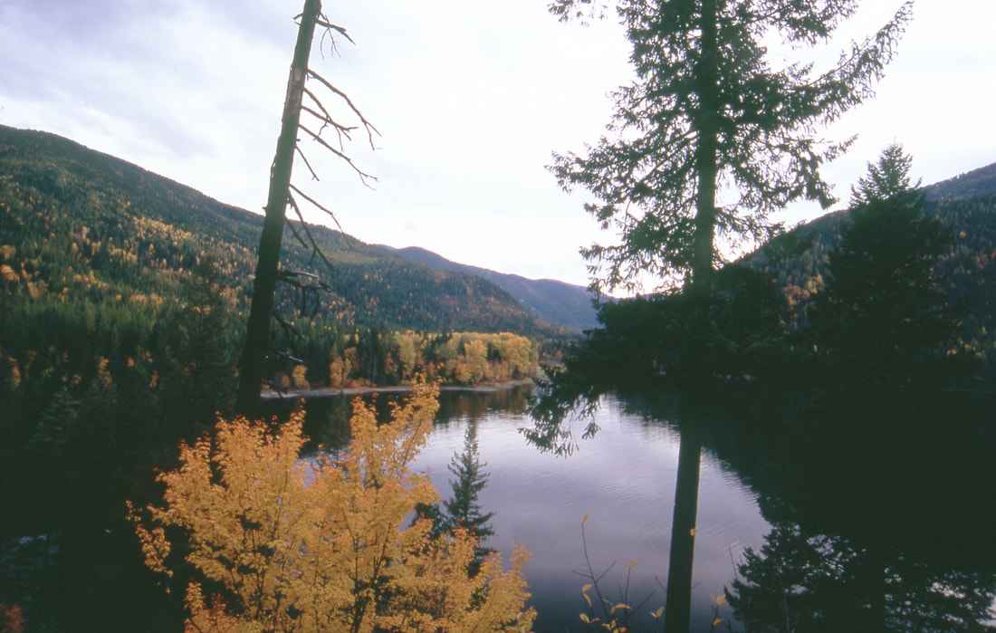
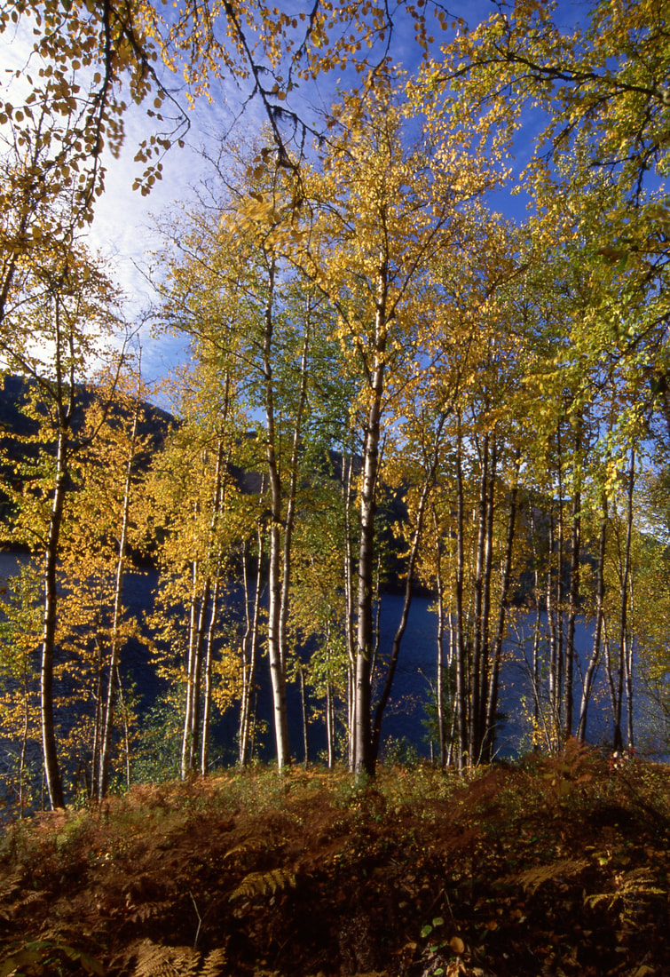
This wonderful hike starts at either end of the lake. So read it backwards if you start on the south end at Noisy Creek Campground. The hike is on the east side of the lake and undulates about 70' all the way. There is a bench that offers views of the lake and the mountain across the lake. There are several small beaches along the shore line for swimming and sun bathing. Look for a nature trail near the start of the north end.
OPTION #1:
If you take your kayaks with you and chain them up in the Noisy Creek boat launch, then you can paddle back to the north trailhead.
DIRECTIONS:
From Newport, Wa, drive north on US 20 to Ione. In IONE turn right (east) on FR 33. Cross a very cool bridge over the Pend Orielle River to Sullivan Lake. Noisy Creek Campground is about 8.4 miles from Ione. The north trailhead is about 4.5 miles north. Enter the Sullivan Lake Ranger Station and drive less than 1/2 a mile to the East Sullivan Campground. The trailhead is about 1/3 mile, next to the dirt landing strip.
COOL THINGS CLOSE BY:
Fall colors in late September, early October are not to be missed. Elk Creek Falls are just north of the ranger station, very cool falls, Hall Mountain dominates the east shore line.
In Ione, look for the Sweetwater Rest Area & Falls.
In Ione, look for the Sweetwater Rest Area & Falls.
HAZARDS:
The east shore water line on Sullivan Lake drops off sharply.
R & P:
NA


