HUB LAKE & DIPPER FALLS
EVENT TYPE: Day hiking, backpacking, Mt biking
DISTANCE: 6 miles RT
ELEVATION: 1720’
DIFFICULTY: Easy
MAPS: IPNR, Lolo N.F., DeBorgia topo
GPS: 47°16’20” N 115°22’28” W
RANGER DISTRICT: CDA River R.D. 208.769.3000
MINERAL COUNTY SHERIFF: 911 or 406.822.3555
DISTANCE: 6 miles RT
ELEVATION: 1720’
DIFFICULTY: Easy
MAPS: IPNR, Lolo N.F., DeBorgia topo
GPS: 47°16’20” N 115°22’28” W
RANGER DISTRICT: CDA River R.D. 208.769.3000
MINERAL COUNTY SHERIFF: 911 or 406.822.3555
DESCRIPTION:
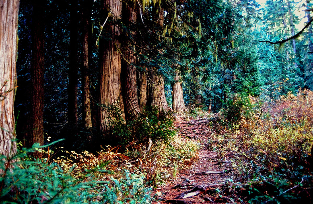
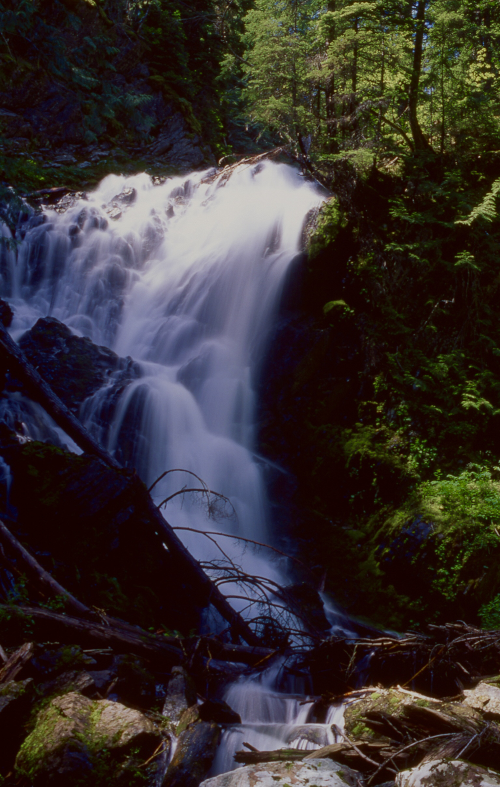
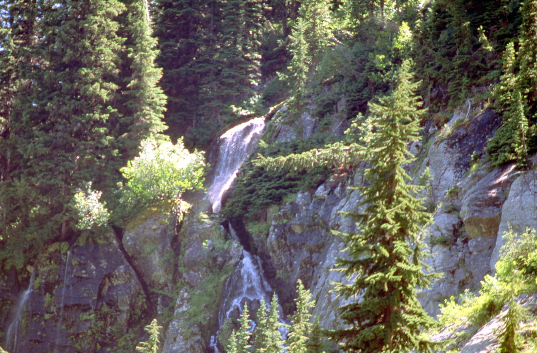
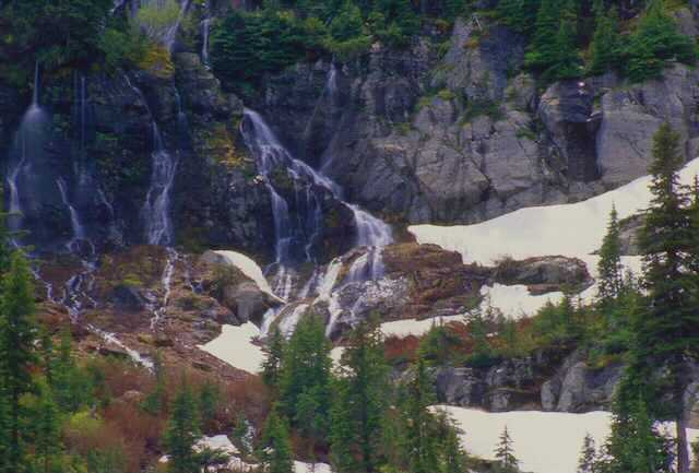
Trail #262 starts on Road 889 and wondered up thru an old growth cedar forest for a little over a mile to the junction with Hazel Lake. Just before the junction look for 60' Dipper Falls below the trail on Ward Creek. When the flow is low, the falls take on the look of its name sake. Each column splashes off water to the next column, hence looking like a mass of ladles. See our WATERFALL section.
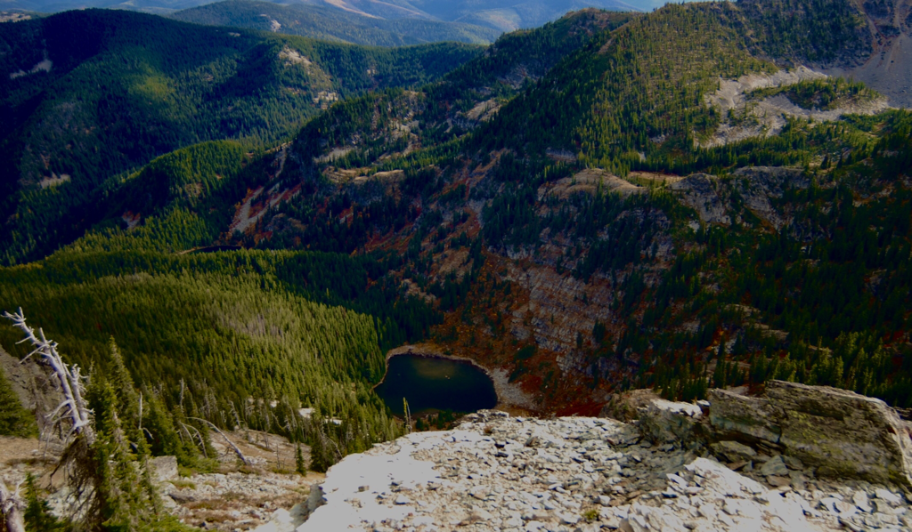
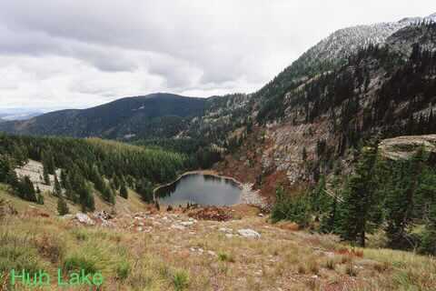
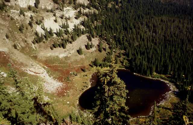
Trail# 280 climbs for the last mile to Hub Lake. There is a good place to rest and have lunch at the west end (upper)of the lake. After lunch there is an old mine shaft (blocked) that you can go into for about 20 feet. If it’s a hot day, the shaft offers a cool place to chillout.
Along the trail to the mine is the trail to the saddle between Ward and Eagle Peaks.
OPTION #1:
From the west shore line, there is an obvious trail that leads part way up Eagle Peak. Just off the lake, is an abandon mine shaft you can walk back into about 20’. If you continue up, this trail bears left and summits the trail saddle between Eagle and Ward Peaks. Which way you turn, you are sure to be pleased. Eagle Peak is on your right, while Ward Peak is on your left.
OPTION #2:
As you head back down from Hub Lake, you can bear right to Hazel and Square Lakes. They are short hikes to lakes rarely visited.
DIRECTIONS:
Head east on I-90 into Montana and exit on 26, Ward Creek Road. Head south up the Ward Creek Road #889 for 6.5 miles to a trailhead just before Ward Creek and a left turn.
There is no west bound on ramp, so you have to drive east on I-90 to St. Regis to regain the west bound lane.
There is no west bound on ramp, so you have to drive east on I-90 to St. Regis to regain the west bound lane.
HAZARDS:
This trail is pretty easy with few hazards to speak of. Take care walking on the tree routes. The trail above Hub Lake is steep.
COOL THINGS CLOSE BY:
Ward & Eagle Peaks, Lookout Pass Ski Area, historic Wallace, The Pulaski Tunnel Trail, the Route of the Hiawatha, Glacier N.P. And the Cabinet Mountain Wilderness.
R & P:
Pizza Factory, 1313 Club, and Muchacho’s Tacos in Wallace, and the Radio Brewing Company in Kellogg
