EVENT TYPE: Day hiking DISTANCE: 4 miles RT, unless you wander a lot ELEVATION: 700’ DIFFICULTY: The ascent to the Rock is difficult. Once on top it’s easy. MAPS: Barker Canyon, Electric City, Steamboat Rock SE & SW GPS: 47°51’83” N 119°07’39” W MANAGING AGHENCY: W.S.P. & R. 509.663.1304 GRANT COUNTY SHERIFF: CALL 911 FIRST or 509.754.2011
DESCRIPTION:
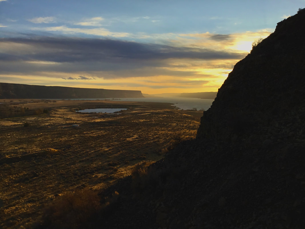
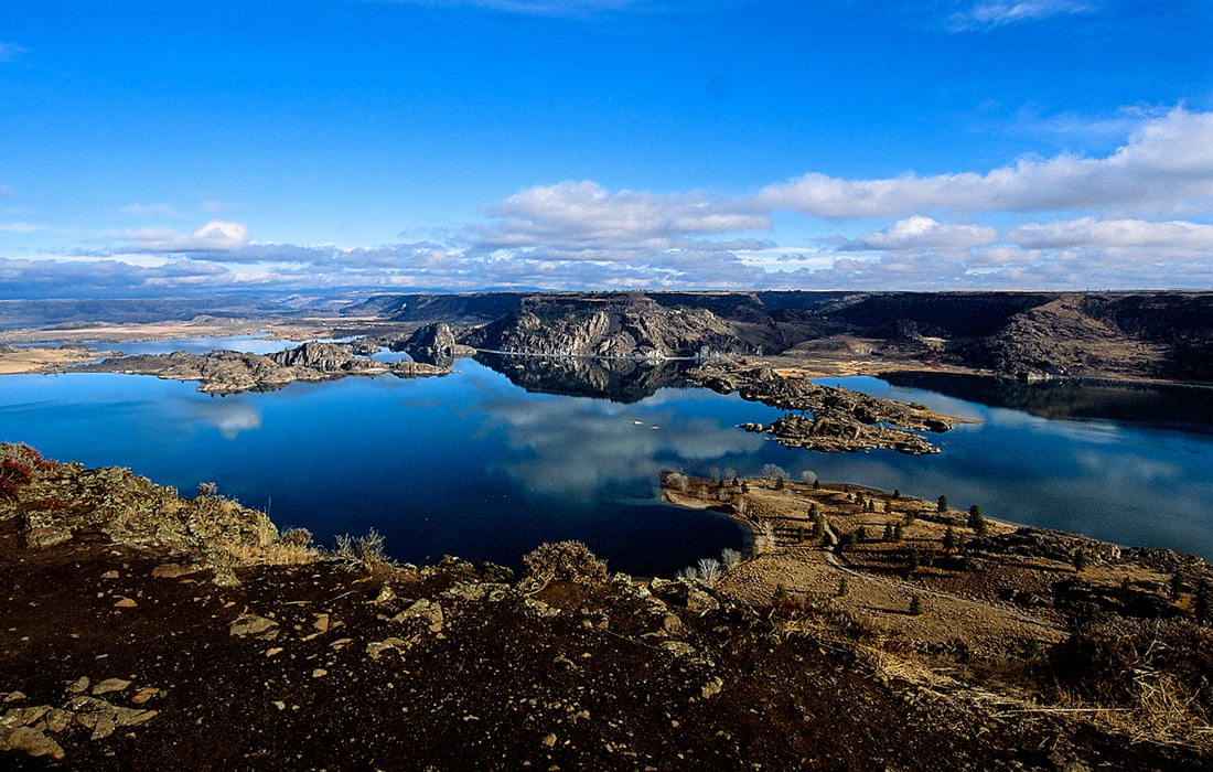
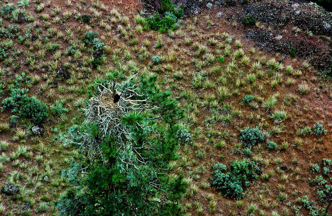
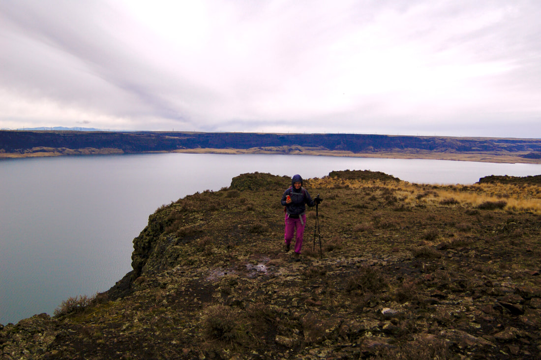
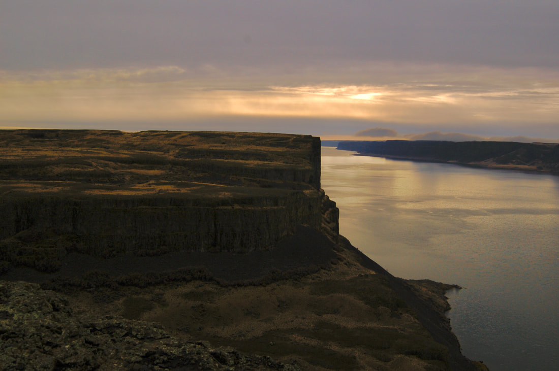
When you turn off SH155 and drive about 12 miles, Steamboat Rock sticks up high and fills the horizon. The Rock has an area of about one square mile, and raises about 700 verts off the water. There is a parking area near the campgrounds. The hike up onto the Rock goes thru a gap in the east wall. Once on top follow the trail around the perimeter for maximum views. On the very north end, look for a Ponderosa Pine with the top lightninged off, below the rocks rim. From spring to late fall, there is an eagle family that lives on it. Along the west shore line, observe the waters below you. A steam comes in below and colors the waters. Make your way back to the trail out, or continue off trail to the south around the rim, before heading back to the cars.
DIRECTIONS:
From Spokane drive west on Highway 2 to the junction with SH #155. Turn right (north) and drive about 14 miles to the state park.
HAZARDS:
The trail up onto the Rock is rough, as is the loop trail above. The obvious 800' side walls can be hazardous. Keep close eye on your kids and pets, near the edge.
There are safety shin guards you can buy to protect from snake bites.
COOL THINGS CLOSE BY:
Northrup Canyon, Summer Falls, Lake Lenore Caves, and the Sun Lakes-Dry Falls State Park, Banks Lake, Banks Lake Trail NW.
R & P:
Harvest Restaurant, Lenny’s in Cheney
PLAN YOUR TRIP:
Click for Current NOAA Weather Conditions
PHOTO GALLERY
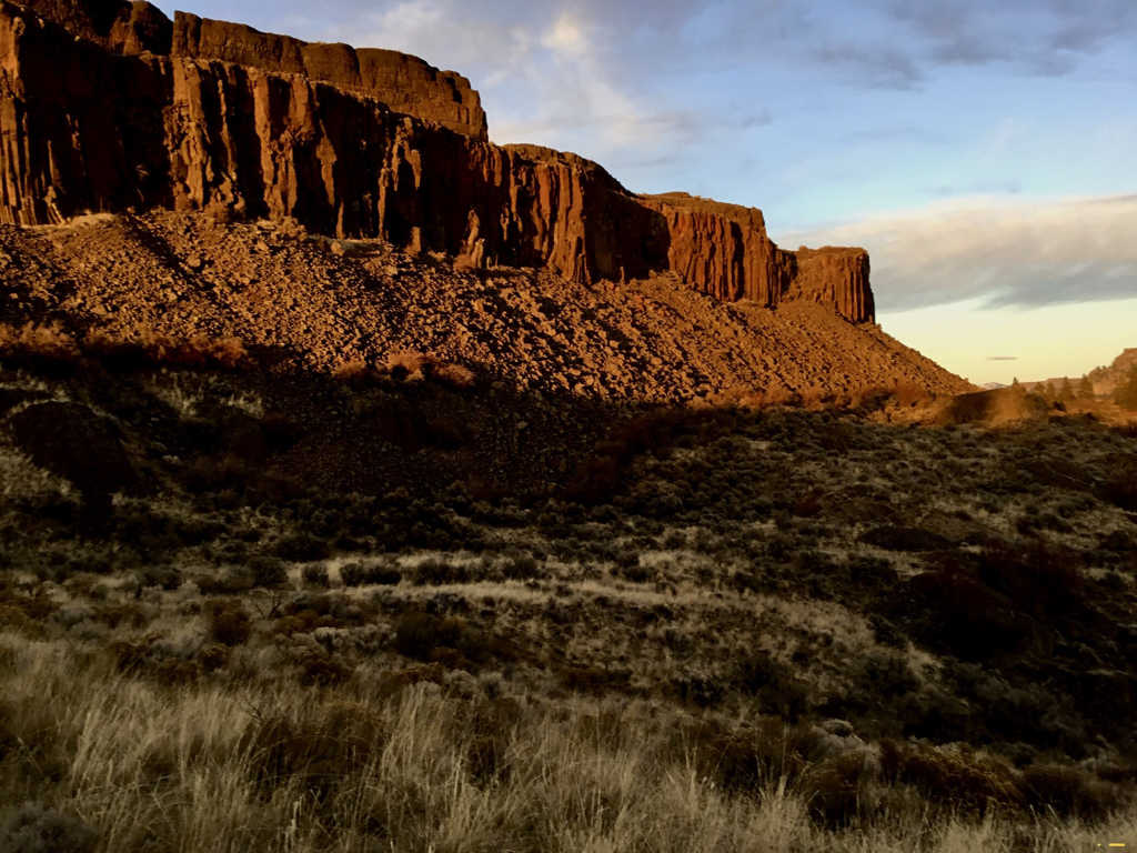
THE NORTH EAST END OF STEAMBOAT ROCK
NORTHERN BANKS LAKE AND ISLANDS
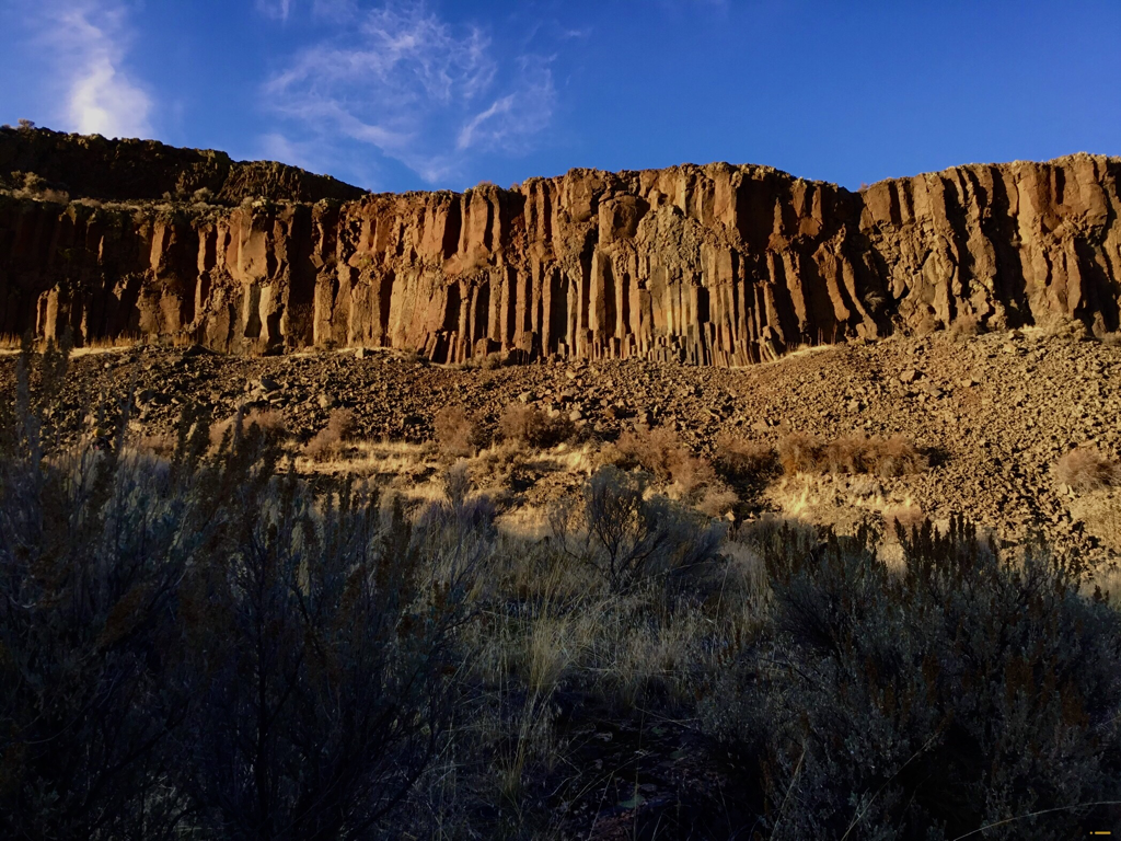
BASALT COLUMNS ALONG THE EAST FACE
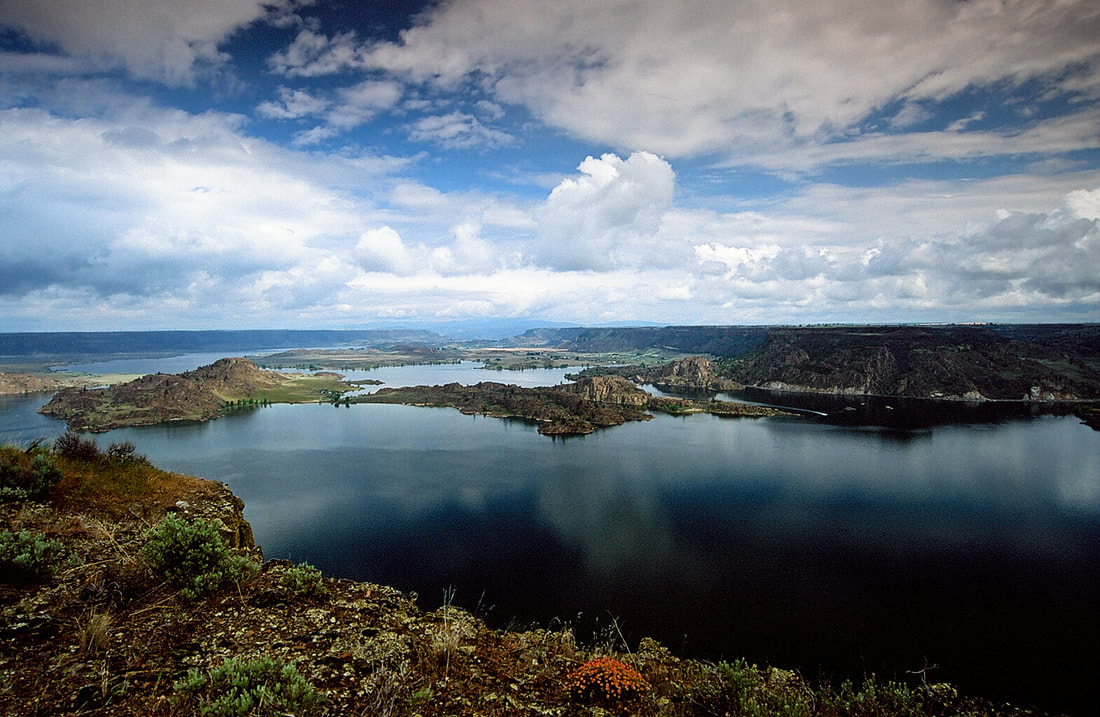
UPPER BANKS LAKE FROM THE NORTH SIDE OF STEAMBOAT ROCK
UPPER BANKS LAKE WITH THE STEAMBOAT CAMPGROUND
BELOW THE NORTH RIM OF STEAMBOAT ROCK IS AN EAGLES NEST
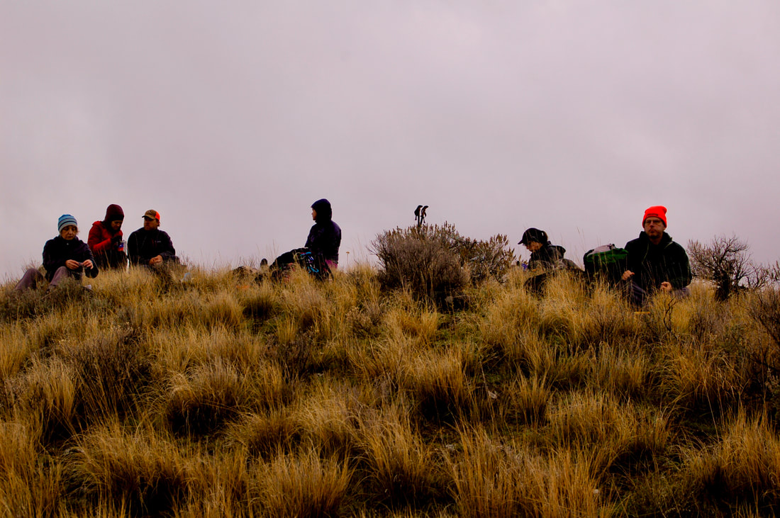
LUNCH ON THE ROCK
JENIFFER WALKING ALONG THE WEST SHORE CLIFFS
LOOKING SOUTH ALONG THE WEST SIDE OF THE ROCK
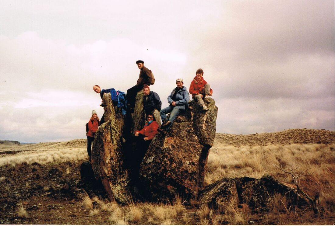
SPOKANE MOUNTAINEERS CLOWNING AROUND ON STEAMBOAT ROCK SPRING 1989