PADDLE DISTANCE: varies ELEVATION: 2128’ LENGTH AND ACREAGE: varies MAPS: IPNF., Plummer & Chatcolet LAUNCH GPS: 47°21’13” N 116°46’22” W BENEWAH COUNTY SHERIFF: 208.245.2555
DESCRIPTION:
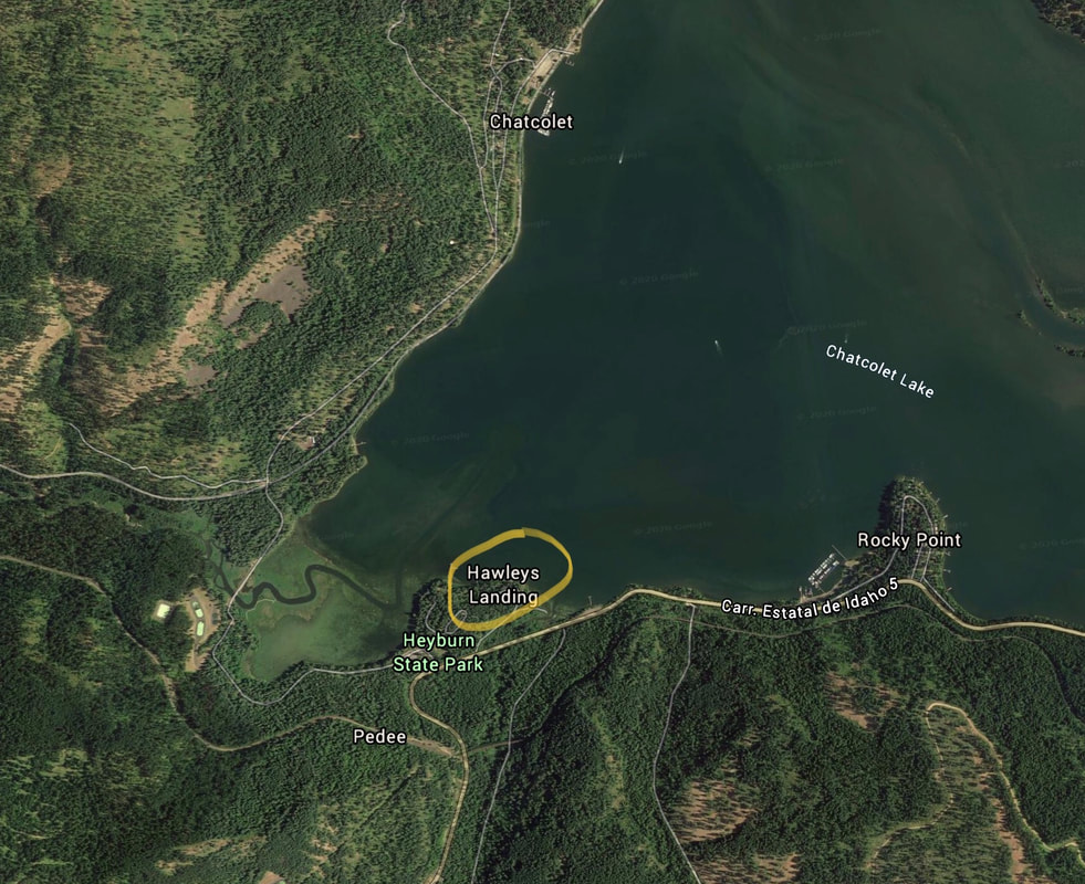
WE HAVE ADDED THE AREAS SHERIFF’S EMERGENCY PHONE NUMBERS FOR EACH TRIP WRITE UP UNDER THE RANGER DISTRICT INFO. IF AN EMERGENCY OCURRS, EVALUATE YOUR CIRCUMSTANCES AND CALL ONLY IF NEEDED. Hawley’s Landing is located in Heyburn S.P. off of Hwy 5 at the Hawley’s Landing Visitors Center.
ATTRACTIONS
Heyburn S.P., Trail of the CDA’s, Lake Chatcolet, St. Maries River- the highest navigable River in the world, and Indian Cliffs hiking area.
DIRECTIONS:
From CDA drive south on 95 to Plummer. At Plummer, turn left (East), onto Hwy 5 to Heyburn S.P.
COOL THINGS CLOSE BY:
Heyburn S.P., Trail of the CDA’s, Lake Chatcolet, St. Maries River- the highest navigable River in the world, and Indian Cliffs hiking area.
R & P:
Trails End Brewery, Mexican Food Factory, the Moon Time