WATERFALL : Willow Creek Falls East DROP: Several drops WATERFALL TYPE: Several types DISTANCE CAR TO FALLS: Lower falls are below the trailhead for about .5 milesUpper falls is about 2.25 miles MAPS: I.P.N.F., CDA River Ranger District 208.769.3000 & 208. 752.1221 GPS: The Stevens Lakes and Lone Lake trailhead is 47°26'16" N 115°45'57" W
DESCRIPTION:
The description of these waterfalls are very complicated, but I'll do my best. In the Gallery below the falls will match the number in the description here. Starting at the trailhead and heading up stream towards L. & U. Stevens Lakes. The 1st falls up the trail are about 40' off the trail and are about a 3' Block type falls. The 2nd falls are a ways past the first and are only 40' off the trial. The 3rd falls are the best of the lower falls The 4rd falls are up in the clearing below the headwall, and drops about 20' in a Plunge type. On your hike to the lakes, you have to cross the falls to continue. The 5th falls is up past the first large switchback. It is actually two falls that descend thru a split in a huge rock. They are both Plunge types. The 6th and 7th falls are real close to each other and can be seen by dropping down to the 4th falls. They are Plunge type falls. Please be very careful here.
Below the trailhead are 3 more falls, but the area around them is too overgrown to get good images of.
DIRECTIONS:
Drive east on I-90 to Exit #69. At the stop sign turn left (N) over the freeway to the next stop sign, and turn right (E) onto Friday Ave. Continue past the Lucky Friday mine site to a "Y", and bear right. In a short distance, you will cross back over the freeway where you will be on Willow Creek Road. In a little over a 1 miles , the trailhead will be on your left. There is a pit toilet and picnic bench at the trailhead. The Stevens Lakes Trail #165, is on the left (E( side of the creek.
COOL THINGS CLOSE BY:
Lower & Upper Stevens Lakes, Stevens Peak 6838', Lone Lake & the Upper Sanctuary, St. Regis Lakes, Lookout Pass Ski Area, Route of the Hiawatha, Trail of the CDA, and the Shoshone County Park,
HAZARDS:
ALL WATERFALLS ARE A HAZARD, DUE TO THEIR SLIPPERY NATURE. ALWAYS BE EXTRA CAREFUL NEAR ANY WATERFALL.
R & P:
Muchackos Tacos Pizza Factory in Wallace. Radio Brewery in Keellogg
PLAN YOUR TRIP:
Click for Current NOAA Weather Conditions
PHOTO GALLERY
1st WATERFALL
1st WATERFALL
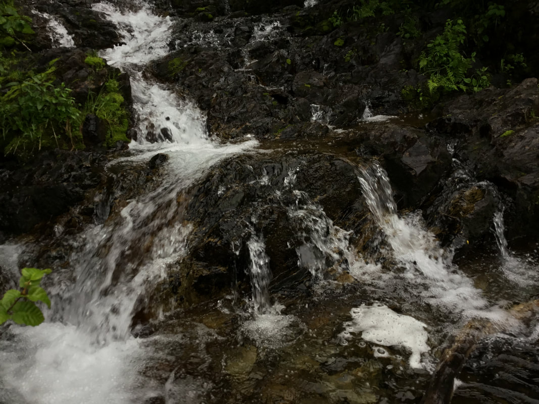
THIS IS THE SAME WATERFALL AS ABOVE, BUT IN HEAVY RUNOFF ON 5.31.22
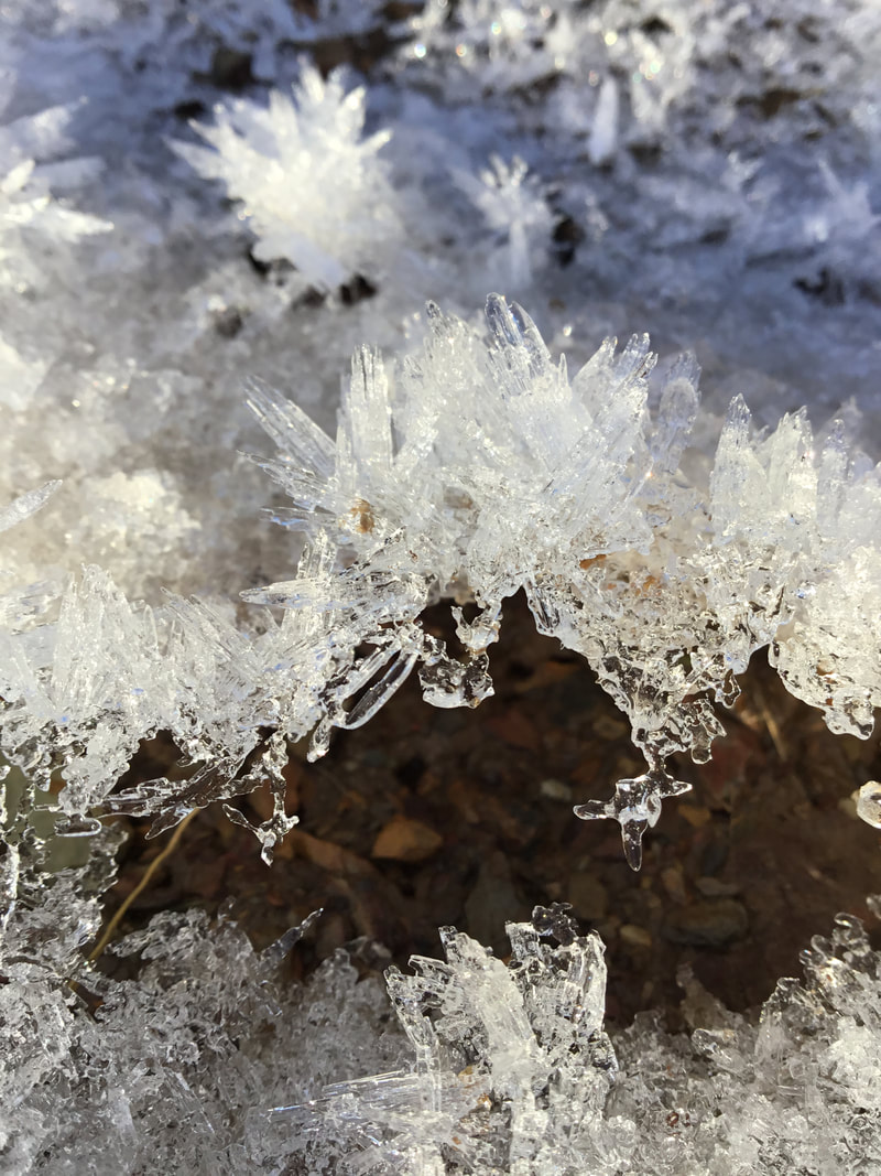
#1 USUALLY YOU SEE HOAR FROST POPPING UP THRU THE DIRT ON A TRAIL
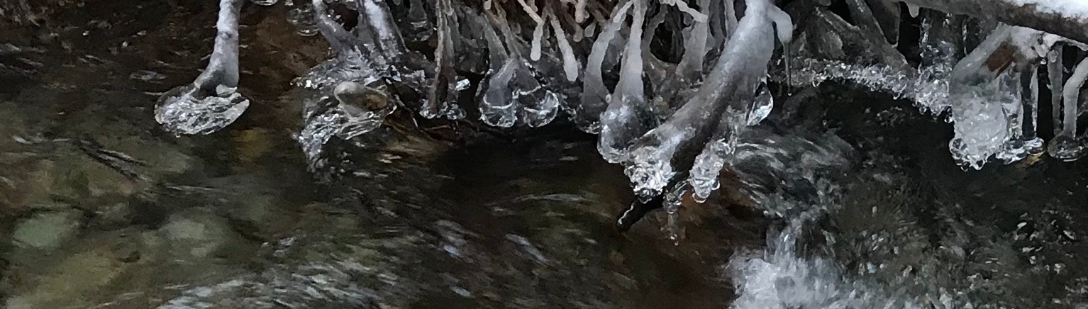
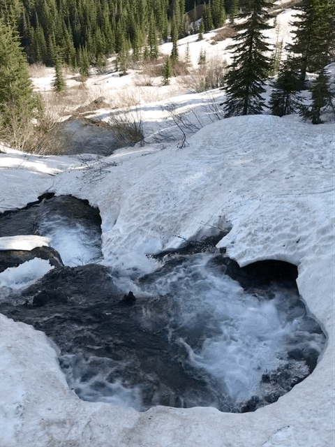
#1 ICE BALLS FORM WHEN THE FLOW IS HIGH
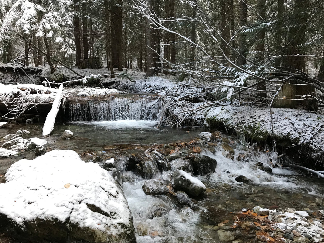
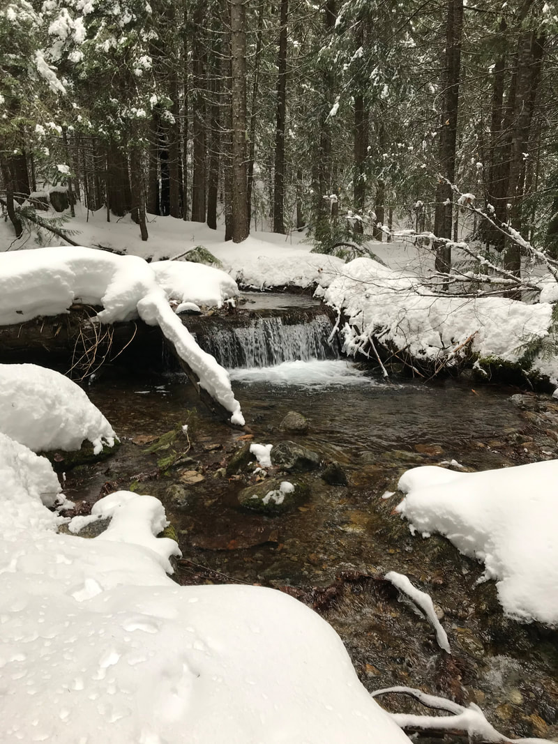
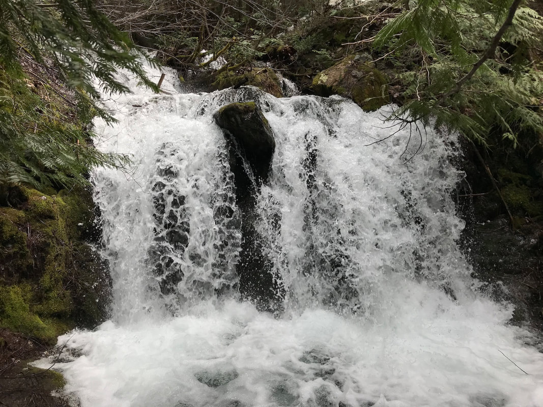
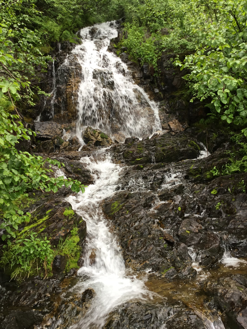
#2. THIS FALLS IS NOISY AND UP STREAM ABOUT .4 MILE
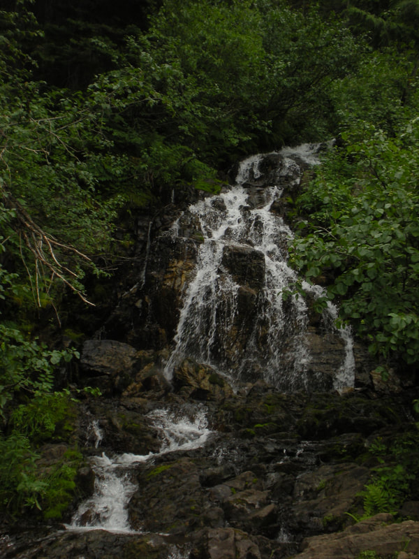
#2. THE SAME AS ABOVE, BUT IN LOWER FLOW
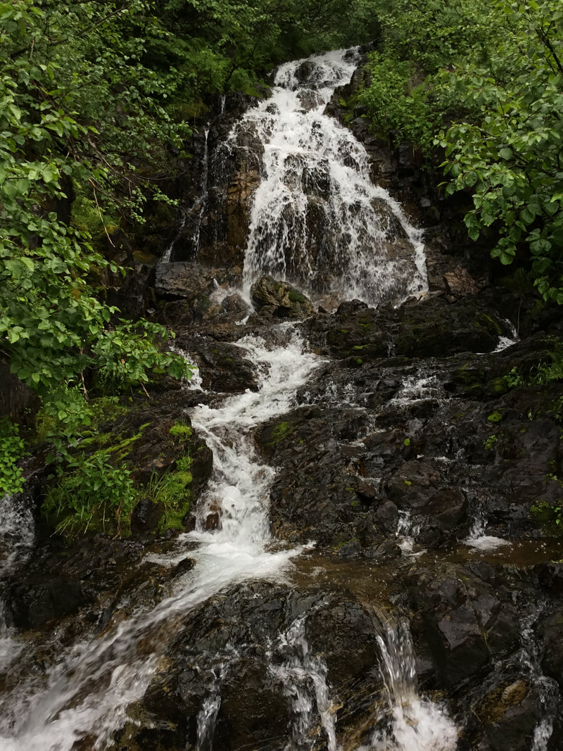
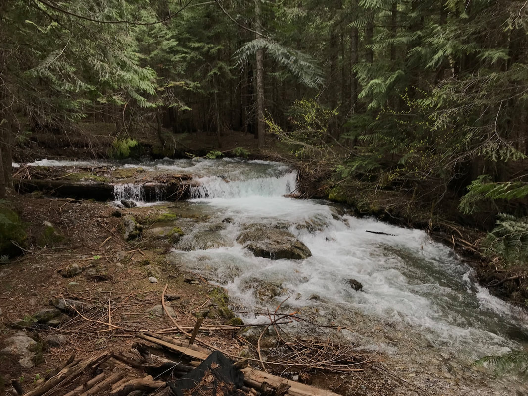
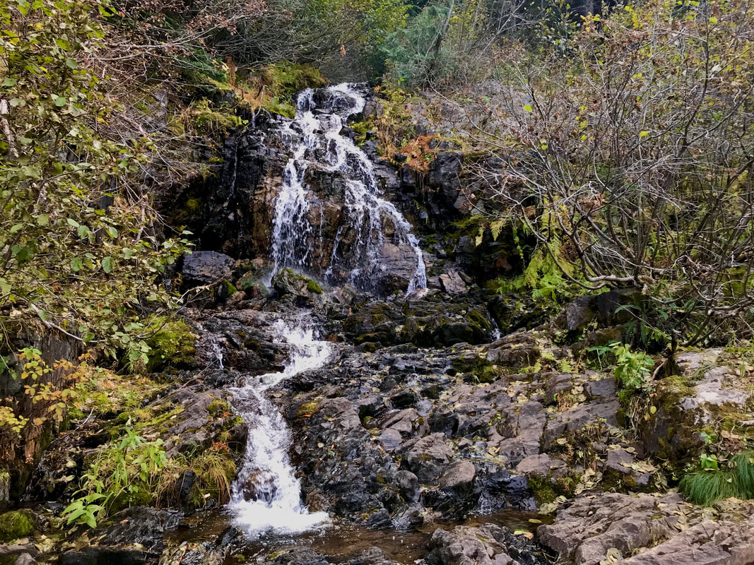
#3. THIS IS THE BIGGEST OF THE LOWER FALLS
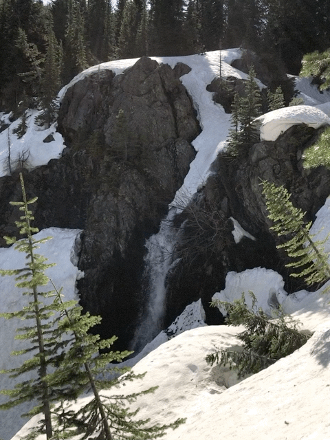
#4. THIS FALLS IS AT THE BOTTOM OF THE HEADWALL THAT YOU HAVE TO CROSS
#4. HEADWALL FALLS TAKEN FROM THE LOG CROSSING
#4. HEADWALL FALLS
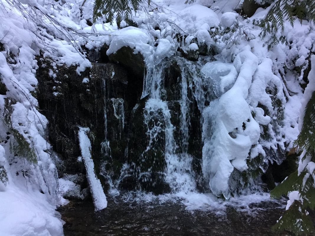
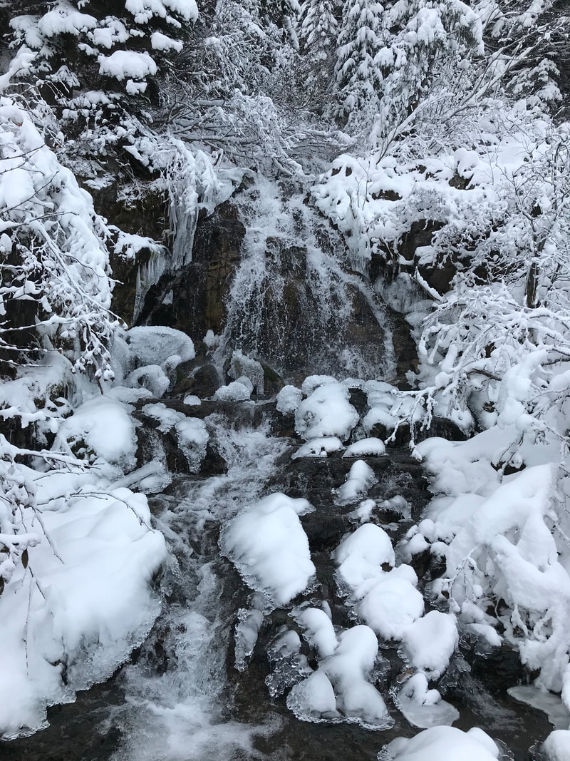
#4. THE START OF WINTER AT THE HEADWALL FALLS
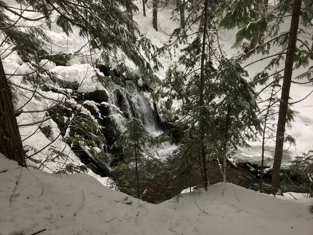
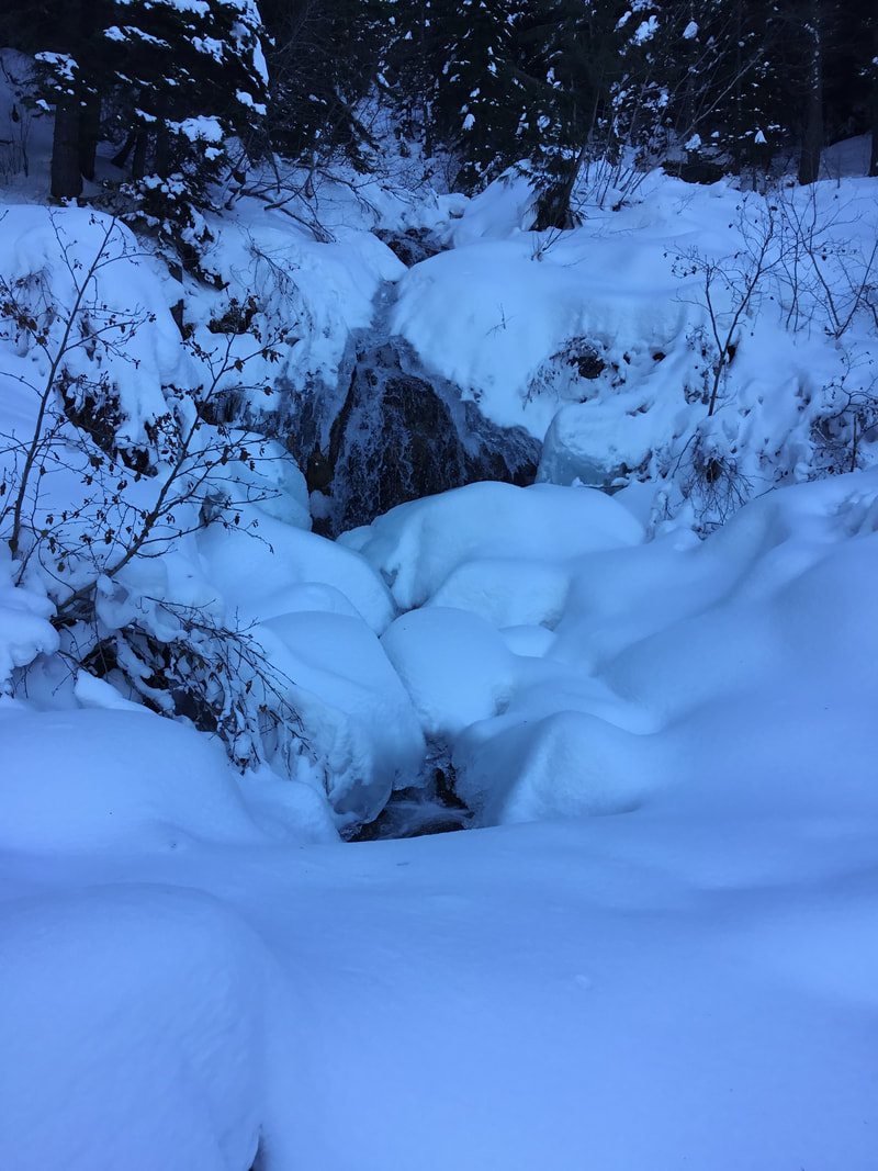
#4. THE HEADWALL FALLS IN THE DEAD OF WINTER
#4. THE HEADWALL FALLS.
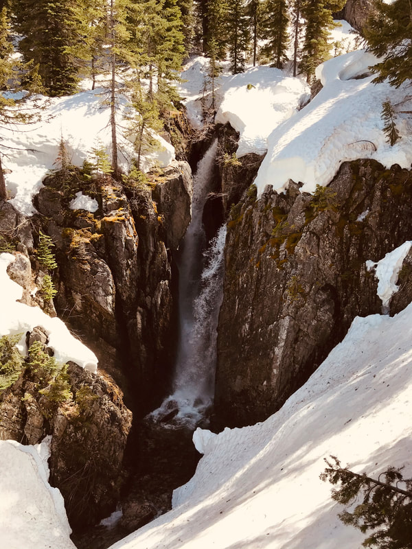
#5. THESE WATERFALLS ARE HALF WAY UP THE HEADWALL & THE DROP BETWEEN A CRACK IN THE ROCKS