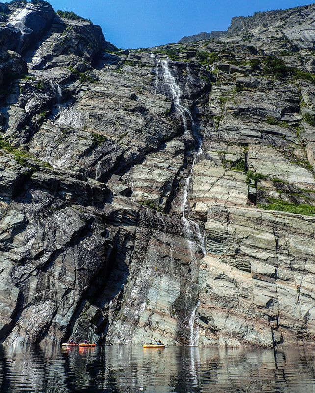
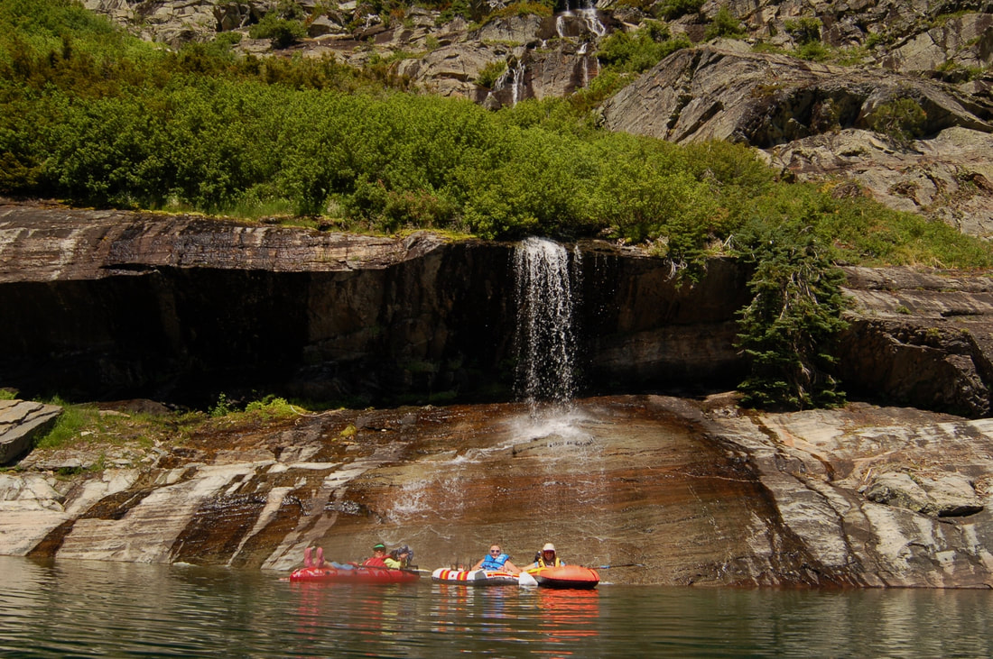
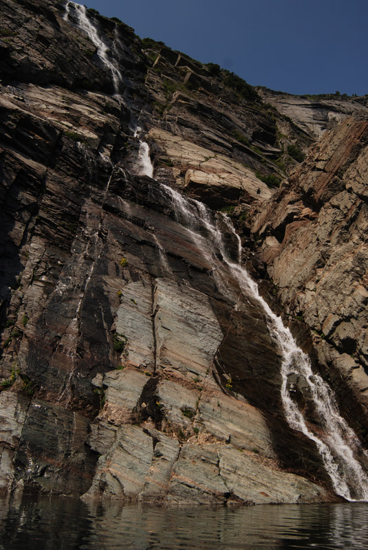
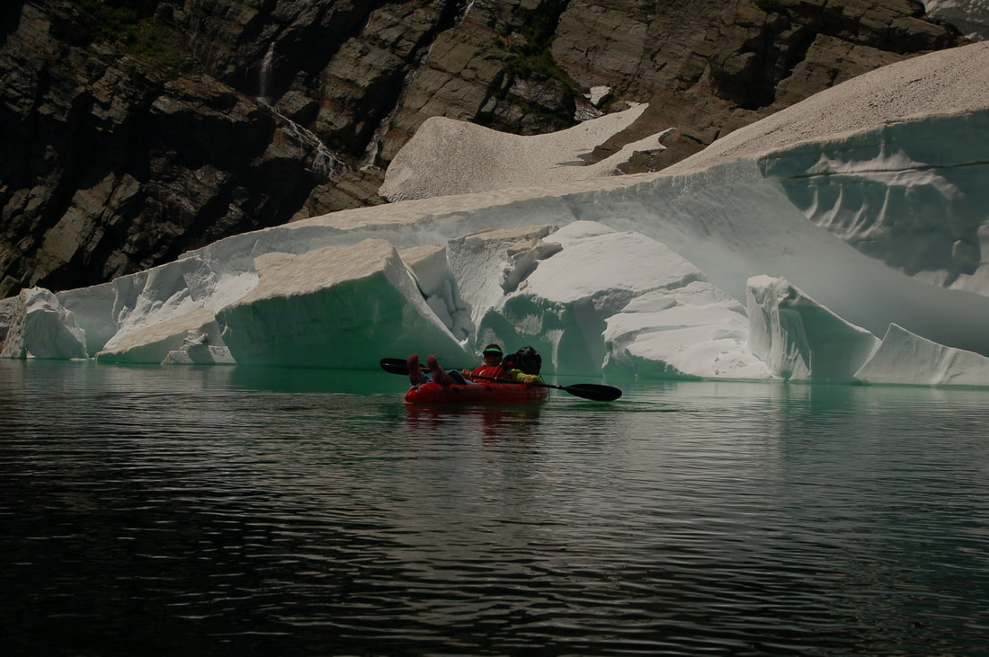
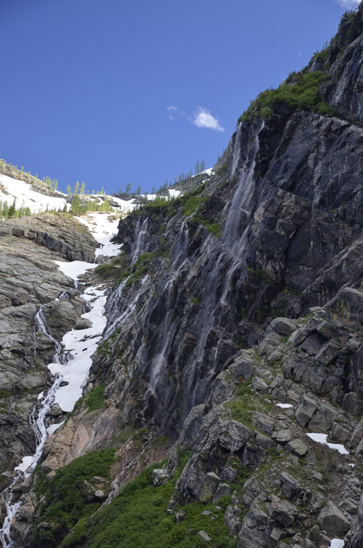
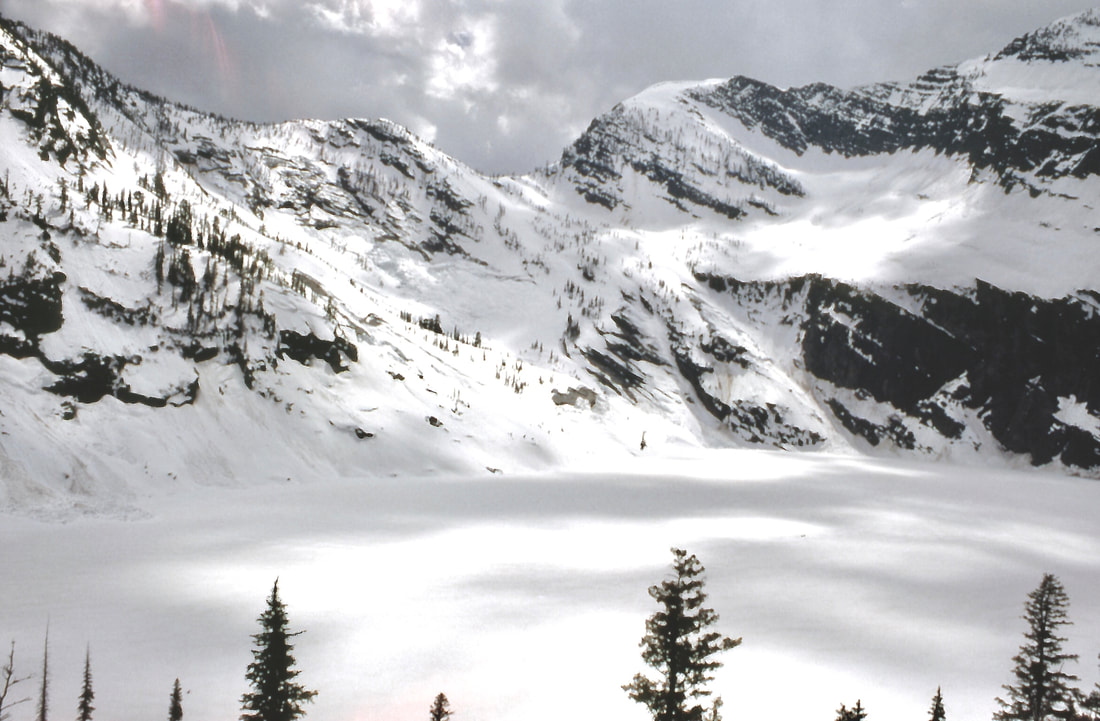
LEIGH LAKE FALLS UPPER THE ULTIMATE WATERFALL HIKE/PADDLE
WATERFALL : Leigh Lake, Cabinet Mountain Wilderness, Montana
DROP: So many of all types
WATERFALL TYPE: Every kind except Plunge Pool
DISTANCE CAR TO FALLS: 1.52 miles and gains 1104 verts
MAPS: Kootenai National Forest, Libby Ranger District, 406.293.7773, Snowshoe Peak topo
GPS: 48°13’27” N 115°??39’?39” W
DROP: So many of all types
WATERFALL TYPE: Every kind except Plunge Pool
DISTANCE CAR TO FALLS: 1.52 miles and gains 1104 verts
MAPS: Kootenai National Forest, Libby Ranger District, 406.293.7773, Snowshoe Peak topo
GPS: 48°13’27” N 115°??39’?39” W
DESCRIPTION:
Leigh Lake is a gem in Montana. Its only 1.52 mile in, but it gains 1104 '.
In the last 6 years, there has been two avalanches of rock from up very high. These avalanches have necessitated a rebuild of the trail this last early summer.
As you leave the trailhead, please fill out the trail registration info. These cards show the USFS, the use of the trails, and eventually are used to fund projects on the trails. They can also be used in case of an over due hikers and climbers.
At about .3 miles, notice a K.N.F., C.M.W. boundary sign above you in a tree.
For the first .75 miles, the trail is in the woods and climbs semi steeply until it breaks out along side Leigh Creek.
From here the views become exceptional, and the hiking is easier. The middle section of the trail is on boulders that do not necessarily need to be scrambled.
There are a few switchbacks before you reach Leigh Creek Falls. See next waterfall subcategory.
During the rebuild of the trail, the USFS has opened the trail to the old and original campsite. I have not been there since the rebuild, but will include the changes on this site after I visit the lake.
Leigh Creek Falls is an excellent place to shed the pack, splash real cold water on your face and enjoy the most beautiful waterfall in the C.M.W.
From Leigh Creek Falls, the trail climbs very steeply for less than 200 verts. Even tho the trail is steep, its easily doable. I've seen 6 year old girls in flip-flops do this section without difficulty.
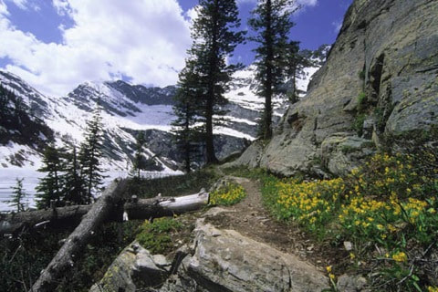
Once above this section, you will have incredible views and sounds of Leigh Creek Falls, below the trail. The walk to the lake climbs a little, before it drops to the lake. In the spring, Glacier Lilies cover the area the trail wonders thru.
As you near the lake, the outlet creek is filled with weathered logs that have fallen down from up high.
A Little further, and you come to the rocks at the NE end of the lake.
The USFS and the Libby Ranger District requires no camping on this side of the lake, lower then 300' from the lake.
OPTION #1:
From the first contact of the lake by the rocks, follow a user created trail on your right (N) side.
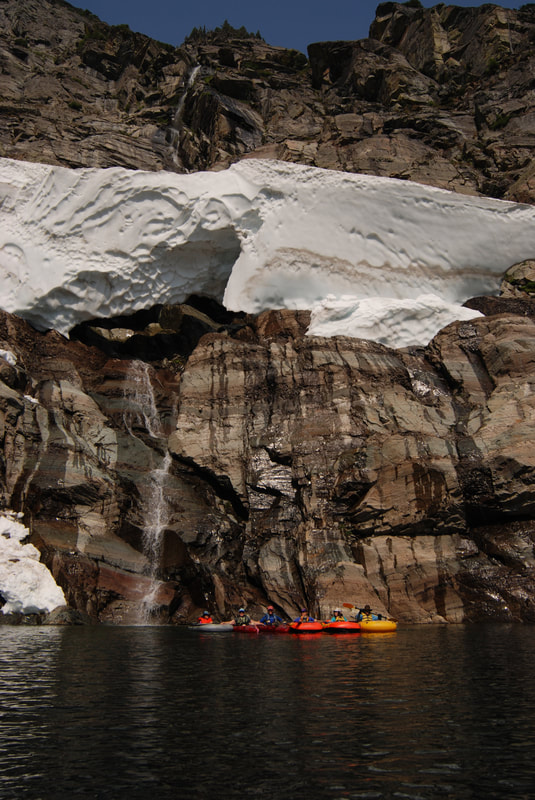
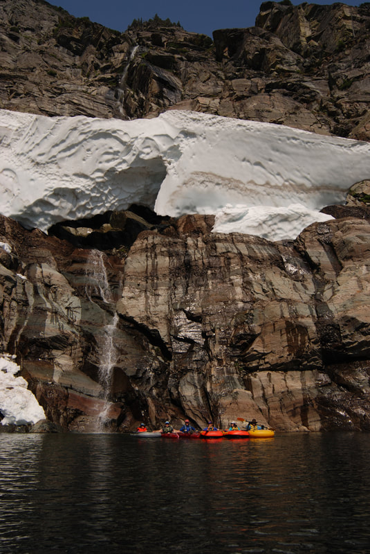
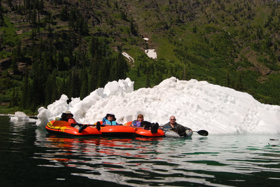
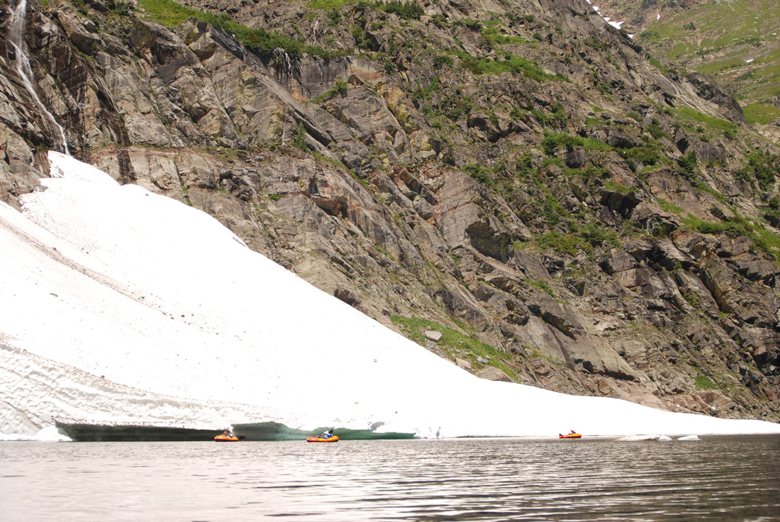
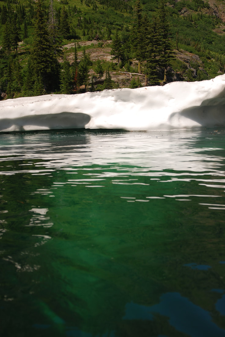
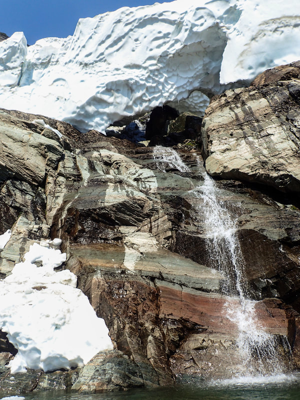
In a litle over .2 miles, is a rocky beach to visit. In the early spring, there's a creek coming down from Bockman Peak that creates a snow cave to explore. Keep in mind, i'ts cold and wet inside.
In a litle over .2 miles, is a rocky beach to visit. In the early spring, there's a creek coming down from Bockman Peak that creates a snow cave to explore. Keep in mind, i'ts cold and wet inside.
OPTION #2:
On the trail to Leigh Lake is a new trail that leads you to the old campsite on the southwest side of the lake.
Beware, the USFS closed this campsite years ago because people were cutting trees for firewood, and leaving garbage all around.
Please be respectful of the land and people who come after you. And PLEASE CARRRY OUT ALL TRASH. ALUMINUM AND GLASS DO NOT BURN.
AND BESIDES, IF YOU CAN CARRY IT IN FULL, YOU CERTAINLY CAN CARRY IT OUT EMPTY.
DIRECTIONS:
From Libby, drive south on Highway 2 towards Glacier National Park for about 8 miles to the Bear Creek Road #278. Turn right (west) for three miles to FR#867. Turn right (west) for about 5 miles to FR #4786. Drive up 4786 for about 2 miles to the trailhead. Notice along this last stretch of road, that there is pull off to the left to a very primitive campsite. If it’s occupied, you can camp at the parking area.
COOL THINGS CLOSE BY:
Snowshoe Peak 8738', A Peak, Granite Lake, L.& U. Geiger Lakes with Lost Buck Pass & the Cabinet Divide Trail with views of Wanless Lake.
The Proposed Scotchman Peaks Wilderness, the Bull River and Lake, and the Clark Fork River.
The Proposed Scotchman Peaks Wilderness, the Bull River and Lake, and the Clark Fork River.
HAZARDS:
ALL WATERFALLS ARE A HAZARD, DUE TO THEIR SLIPPERY NATURE. ALWAYS BE EXTRA CAREFUL NEAR ANY WATERFALL.
Please keep a close eye on your children when climbing the vertical section above the Leigh Creek Falls.
Please keep a close eye on your children when climbing the vertical section above the Leigh Creek Falls.
R & P:
Henry's Restaurant, The Shed in Libby.
PLAN YOUR TRIP:
Click for Current NOAA Weather Conditions
