PADDLE DISTANCE: varies ELEVATION: 2128’ LENGTH AND ACREAGE: varies MAPS: IPNF, Worley topo LAUNCH GPS: 47°29’13” N 116°54’52” W
DESCRIPTION:
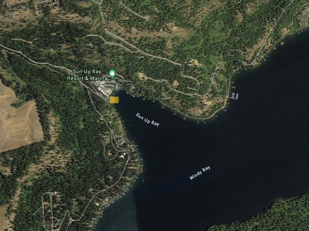
This launch is out of the way and away from the Rockford Bay crowds. You can paddle north up the west side of CDA to Rockford Bay and beyond. Or you can turn right down CDA to the large Windy Bay.
ATTRACTIONS
Less car and boat traffic, Rockford Bay, and the main body not the Lake CDA
DIRECTIONS:
From CDA, drive over the Spokane River on Hwy 95. Take a milage reading as you cross the bridge. In about 16 miles you will come to W. Sun Up Bay Road. Turn left and follow W. Sun Up Bay Road all the way to the launch
COOL THINGS CLOSE BY:
Rockford Bay, Windy Bay, and Rockford Point
R & P:
Trails End Brewery, Franklins, Mexican Food Factory, and Moon Time