EVENT TYPE: day hike, equestrian, fishing, camping DISTANCE: 3 miles RT or 4 miles RT ELEVATION: Gain minimal and 816' loss DIFFICULTY: Easy main trail...moderate upper route MAPS: IPNF, Rochat Peak and BLM GPS: 47°22’40” N -116°22’55” W RANGER DISTRICT: CDA River R.D. 208.769.3000 SHOSHONE COUNTY SHERIFF: CALL 911 FIRST or 208.556.1114
DESCRIPTION: WE HAVE ADDED THE AREAS SHERIFF’S EMERGENCY PHONE NUMBERS FOR EACH TRIP WRITE UP UNDER THE RANGER DISTRICT INFO. IF AN EMERGENCY OCURRS, EVALUATE YOUR CIRCUMSTANCES AND CALL ONLY IF NEEDED. The trailhead starts just east of the Sheep Springs campsite. The parking area has views of the terrain to the east, and trail drops down off the SE corner. For the most part, the trail is across large scree slopes as it makes it's way towards the lake. The trail drops 816' to the lake. Once at the lake, hike the NW shore line to the back of the lake, where you will find a great spot for lunch and photography.
OPTION#1: From the parking area, skip the normal trail and walk about 100' south on the Rochat Divide Road ( the road you drove up on) and turn left (east) up onto the ridge that climbs rather steeply for a short distance, for incredible views of the IPNF and the St. Joe River region. Continue the ridge hike south until it drops down to connect with the southern trail to the lake. Turn left (east) and take notice of the unusual forest of trees bending from ground surge. It's just a mile or so to the lake with several views from above. Once at the lake, do the walk around the north side of lake as described above.
When you are ready to head back, follow the trail on the north end of the lake back to the trailhead. This trail is not the trail you came down on.
DIRECTIONS: Drive east on I-90 to the Cataldo exit #40, and turn left (SW) for about 1/2 a mile to a "T" turn right (NW) on the Latour Creek road #613. Continue for about 20 miles up past a logged area to the Sheep Springs camp grounds. The parking area is across from the outhouse. The Latour Creek road is all dirt and dusty.
COOL THINGS CLOSE BY: St. Joe Baldy, Reeds Baldy, views of Silver Mt from afar, St. Joe River drainage, picturesque creek crossing, and incredible fall colors. HAZARDS: Some slick rocks on scree on the main trail. The high traverse from the parking area has a steep north end, but levels as you get near the top of the long ridge.
R & P: Pizza Factory, 1313 Club, Brooks Hotel & Restaurant, City Limits Brew Pub, Fainting Goat, Smoke House BBQ & Saloon, Wallace Brewing Co., and Muchacho’s Tacos in Wallace. Radio Brewing in Kellogg. the Snake Pit north of Kingston, and Moon Time n CDA.
PHOTO GALLERY
THE OLD BRIDGE ON THE MAIN TRAIL
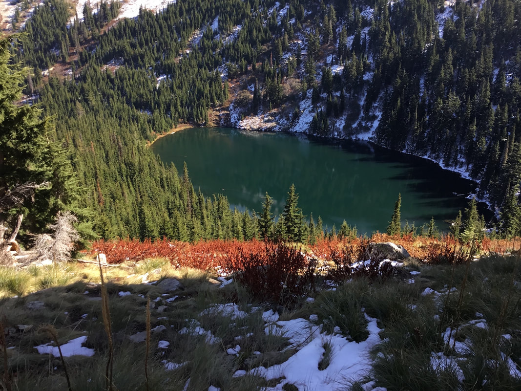
FISHING IS GREAT AT CRYSTAL LAKE
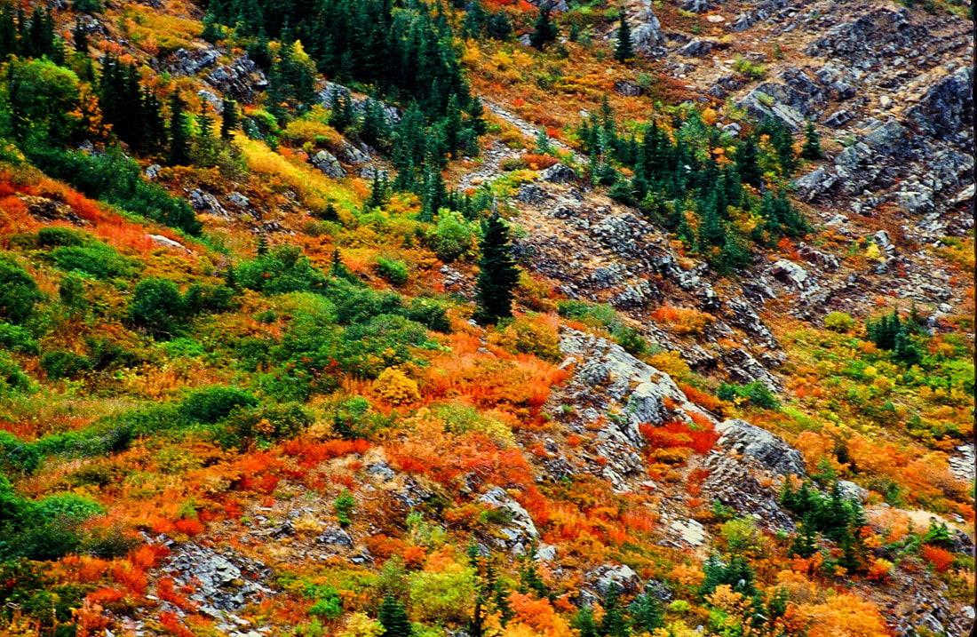
BEAUTIFUL FALL COLORS, WITH LONE SUB-ALPINE FIR
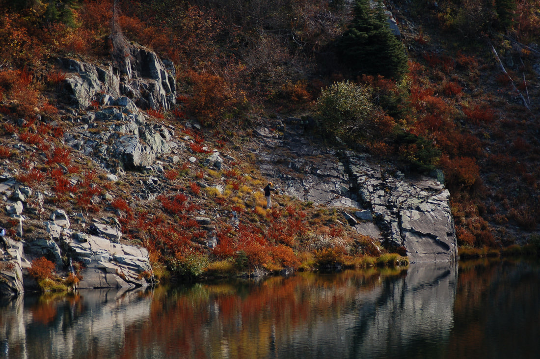
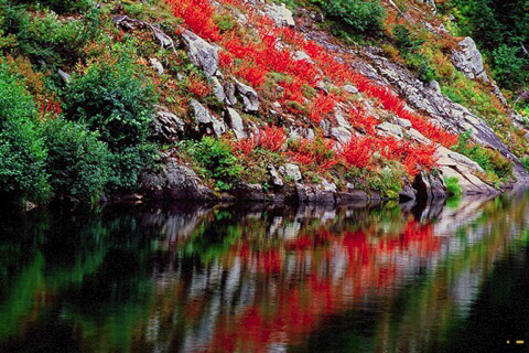
THE SHORE LINE, FALL COLORS ARE SPECTACULAR.
THE TRAIL OVER THE ROCHAT DIVIDE IS UP HILL
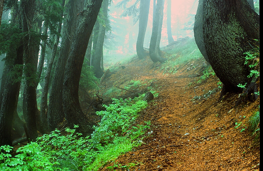
THE SOUTH TRAIL THRU THE GROUND SURGED TREES
SUMMER ON THE SOUTH TRAIL. THE ROUTE ABOVE TO THE ROCHAT DIVIDE ON RIGHT
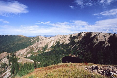
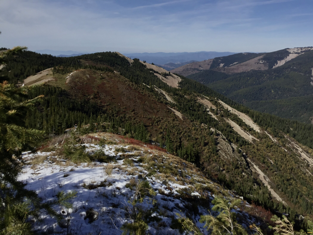
FROM THIS IMAGE DOWN ARE TAKEN ON THE HIGH RIDGE, ROCHAT PEAK
REEDS BALDY 6153’, ABOVE CRYSTAL LAKE TO SSE.
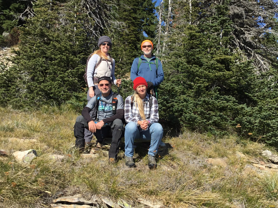
THE CLEAN UP CREW GINA, LYNN, DAVID & AMY. THANK YOU
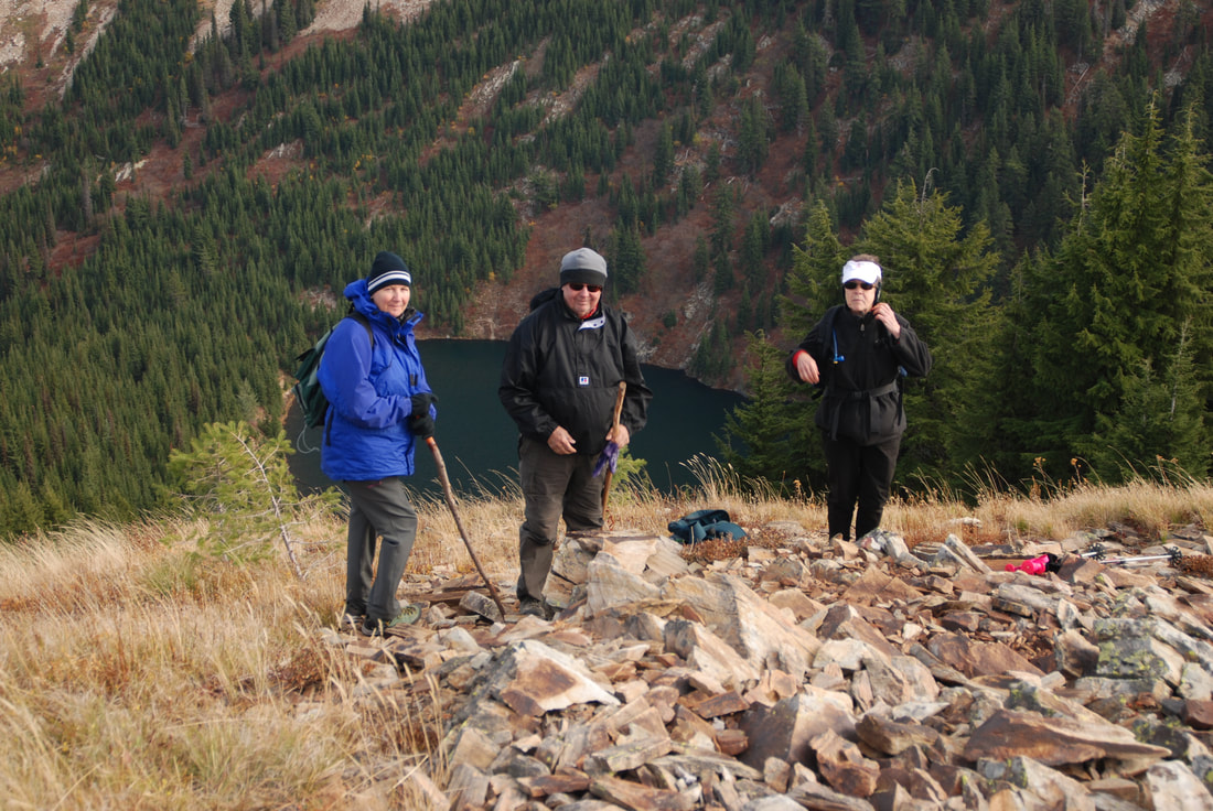
SOME OF THE CREW ABOVE CRYSTAL LAKE
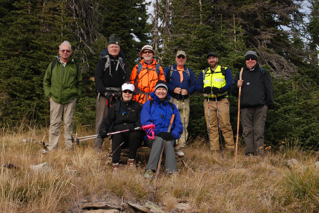
THE 2015 CLEAN UP CREW ON THE ROCHAT RIDGE
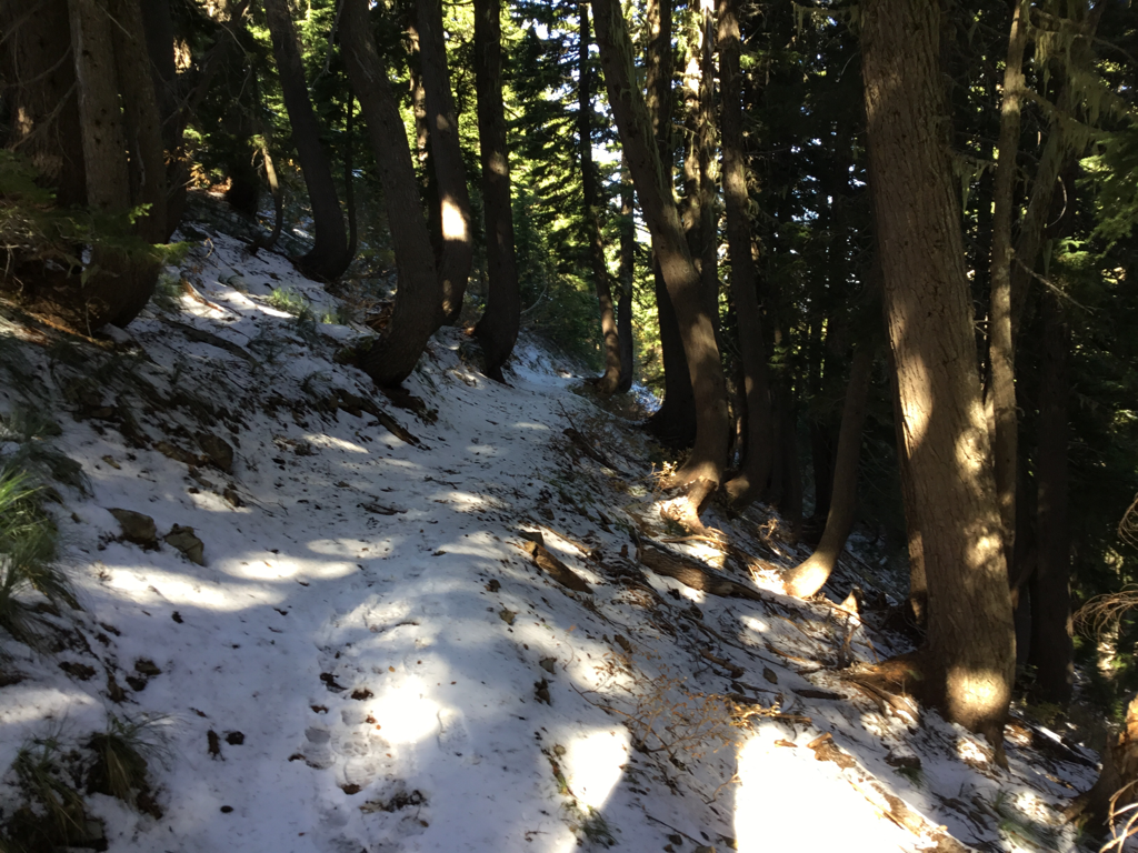
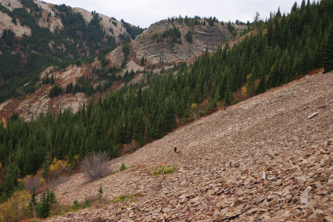
ONE OF THE CREW WALKING OUT THE MAIN TRAIL TO CRYSTAL LAKE