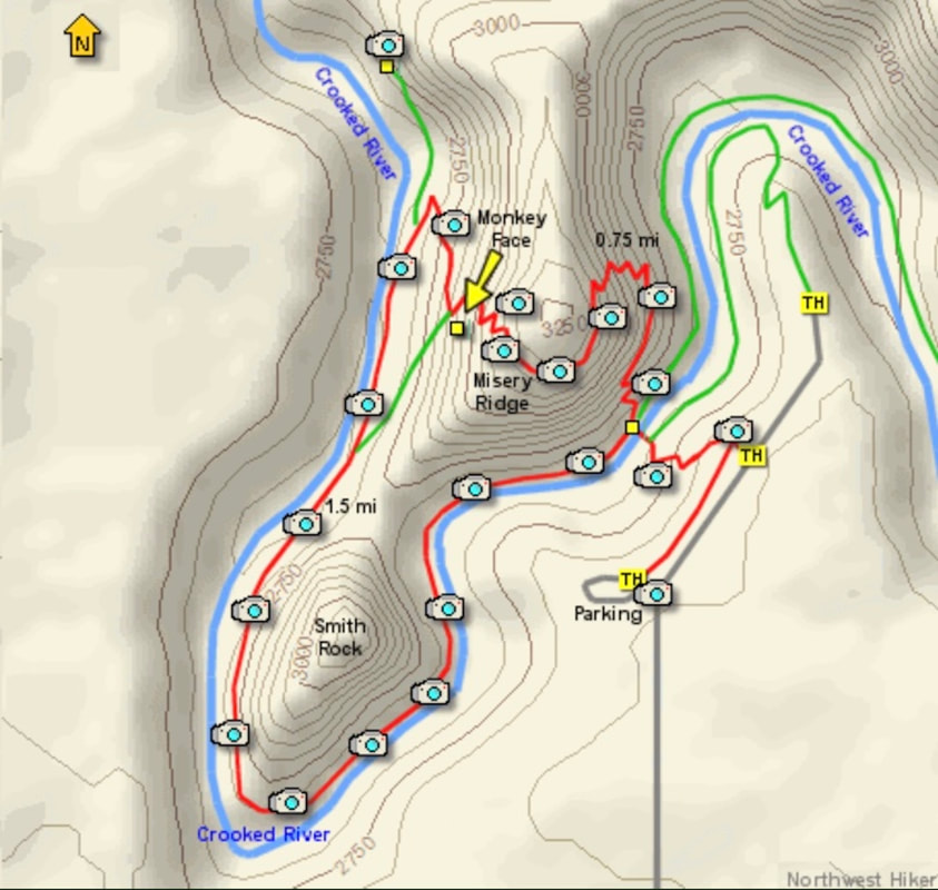
EVENT TYPE: Hiking, paddling, & climbing DISTANCE: 4.5 mile RT loop ELEVATION: 1150' cumulative gain. DIFFICULTY: Moderately easy MAPS: Smith Rocks State Park GPS: 44° 21’ 32”N 121° 09’ 00”W Sisters Ranger District: 541.549.7700 DESCHUTES COUNTY SHERIFF: CALL 911 FIRST or 541.388.6655
DESCRIPTION:
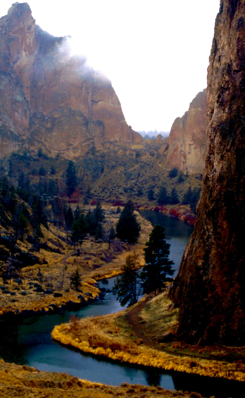
WE HAVE ADDED THE AREAS SHERIFF’S EMERGENCY PHONE NUMBERS FOR EACH TRIP WRITE UP UNDER THE RANGER DISTRICT INFO. IF AN EMERGENCY OCURRS, EVALUATE YOUR CIRCUMSTANCES AND CALL ONLY IF NEEDED. Features: This is one of the most popular hiking and rock climbing areas in Oregon. After one visit, you'll see why. Thisplace is just plain fantastic! I did the hike clockwise. Beginning at the main parking area, I went east toward the picnic area, then to the main trail. The trail drops about 140'to the Crooked River Canyon below. Then it crosses the river via an excellent bridge. After crossing the bridge, you have two main choices. If you only want to get to the top of the mountain in front of you, just keep straight ahead, and climb 700 feet and about three quarters of a mile later you will be on top. If, on the other hand, you'd like to do a fun loop hike, which will include getting to the top of Misery Ridge, then bear left and follow the trail along the Crooked River. It is about a mile and a half to the base of Monkey Face, which is a 400 foot verticle spire. You then can climb through a series of well placed switchbacks to the top of Misery Ridge. From there you can complete your loop hike by following the trail back down to the bridge where you began the loop. There are alot of wonderful things to enjoy here at Smith Rock. Each season will offer appropriate opportunities to satisfy your desire for a great day in the out-of-doors. You can't go wrong with a trip to Smith Rock State Park! ENJOY.
DIRECTIONS:
From Biggs Junction on the Columbia River, drive south on U.S.97 to Terrebonne. Turn left onto Smith Rocks Way to Lambert Road. Lambert Road becomes N.E. Wilcox Ave., and drive east to the Canyon Trail parking area.
COOL THINGS CLOSE BY:
Warm Spring Indian Reservation, Mount Hood, Hood River, Columbia River, and the Columbia River Gorge. Near Salem is the Silver Falls State Park. Also nearby is Clear Lake. Rent a canoe and paddle this very unusual clear lake.
HAZARDS:
All climbing areas have hazards. Be cautious while in the Smith Rocks State Park.
R & P:
NA
PHOTO GALLERY
SNOOPY HANGS OUT IN ONE OF THE AREAS OF SMITH ROCKS
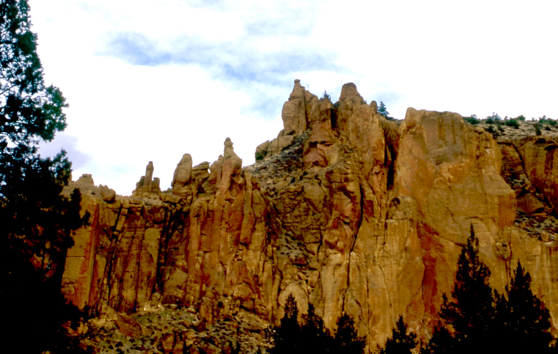
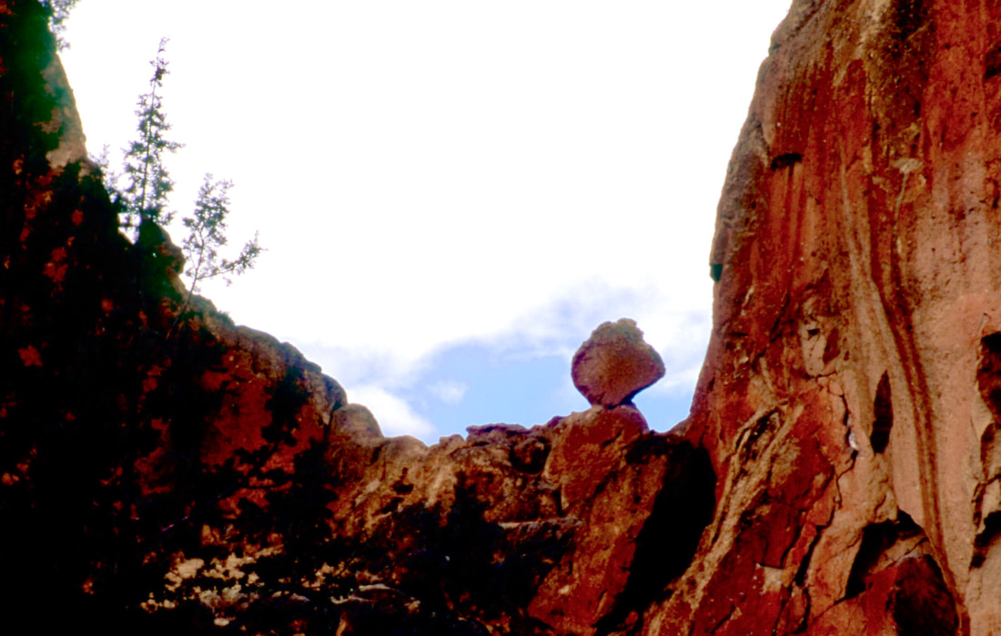
THE NORTH END OF SMITH ROCKS
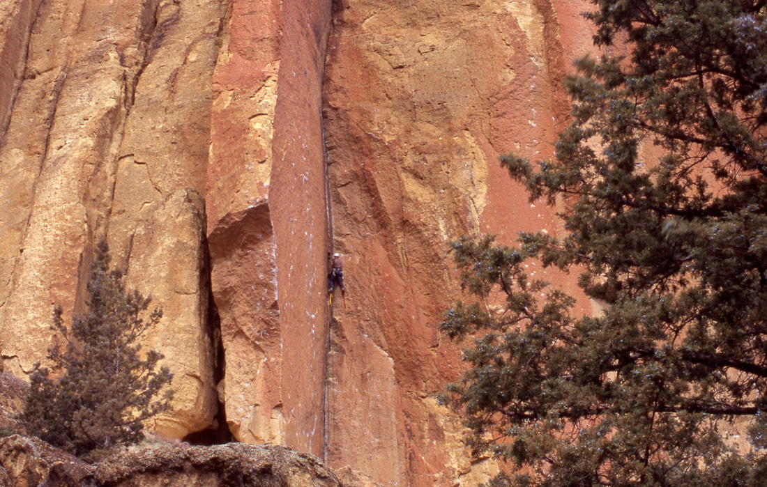
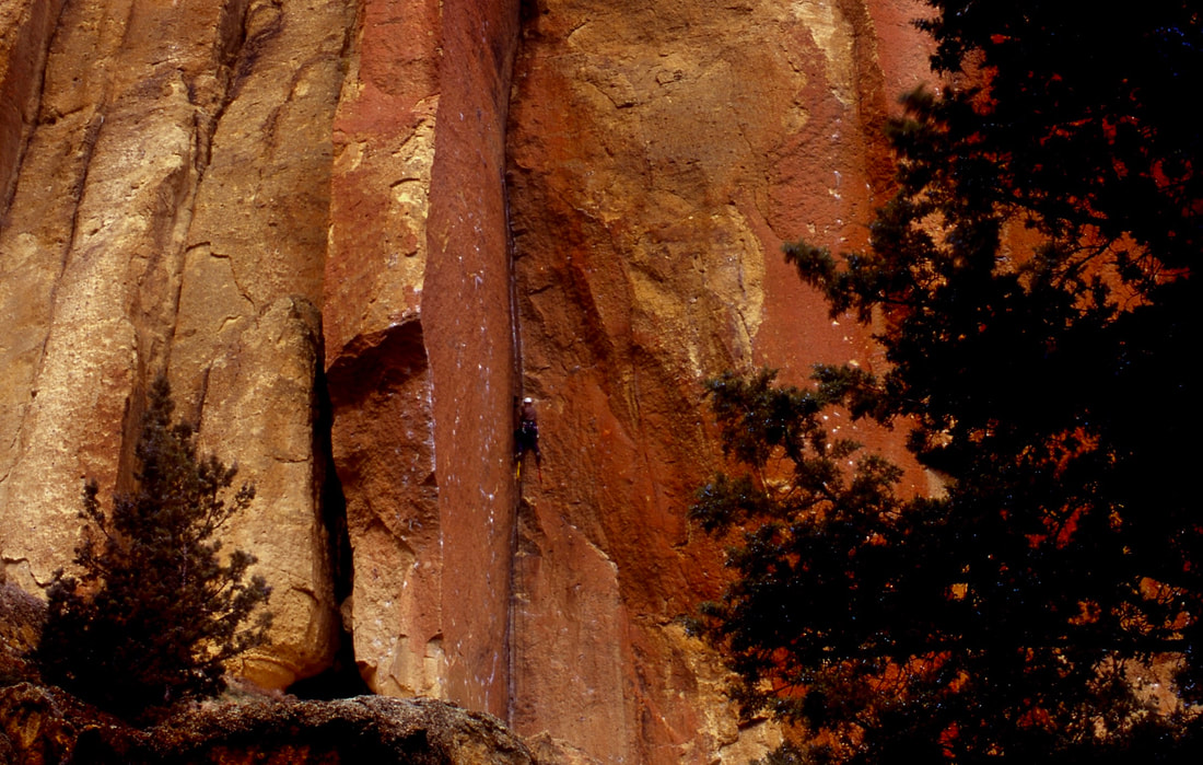
SMITH ROCKS HAS SOME OF THE BEST CLIMBING ROCKS IN THE WEST. IN SPRING & FALL, THESE ROUTES ARE FILLED WITH THE WORLD'S BEST ROCK CLIMBERS
SNOOPY RESTING AFTER A HARD CLIMB
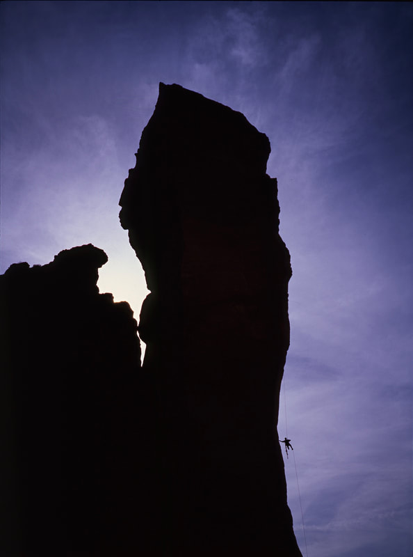
MONKEY FACE IS A VERY TECHNICAL AID ROUTE ALONG THE NORTH END OF MISERY RIDGE