KOOTENAI FALLS
WATERFALL : Kootenai Falls
DROP: Several
WATERFALL TYPE: several
DISTANCE CAR TO FALLS: .5 miles
MAPS: Kootenai National Forest, Cabinet Ranger District 406.827.3533,
GPS: 48°45’53” N 115°76’?38” W
DROP: Several
WATERFALL TYPE: several
DISTANCE CAR TO FALLS: .5 miles
MAPS: Kootenai National Forest, Cabinet Ranger District 406.827.3533,
GPS: 48°45’53” N 115°76’?38” W
DESCRIPTION:
While on your way to the Cabinet Mountain Wilderness via Libby, Montana, be sure to stop at the Kootenai Falls on Hwy 2.
As you start your walk to the falls, read the kiosk for info on the falls, like History, Native American involvement, and directions.
After a short walk, you come to a railroad overpass. Please use this method to cross the tracks. Then you will come to a "Y" in the trail.
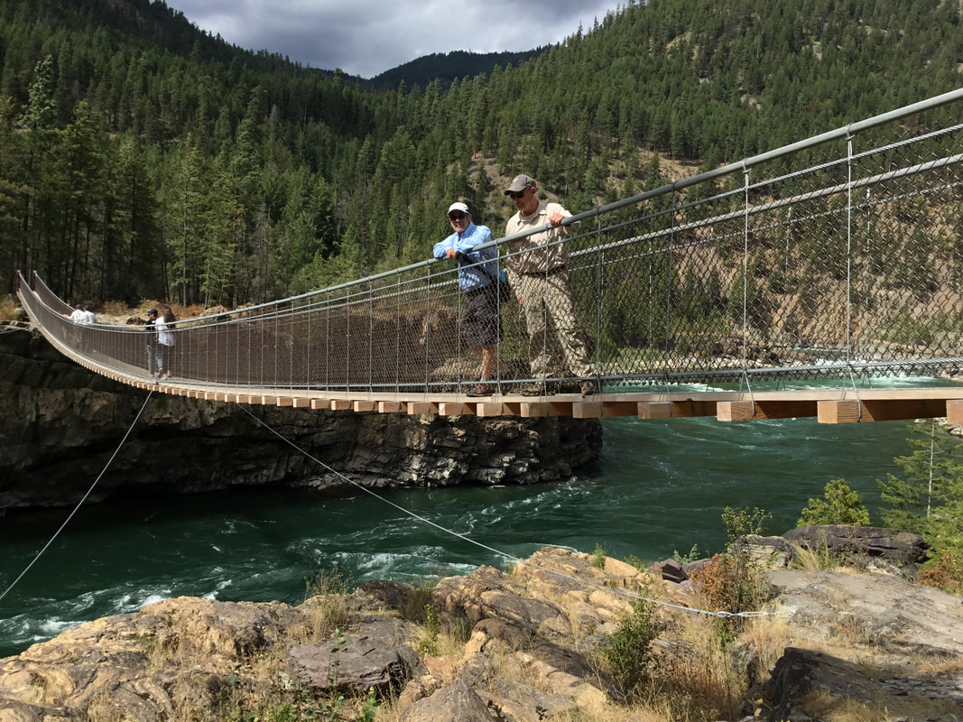
Going right will take you to the bulk of the falls, while going left will take you to the swinging bridge. Keep in mind, after seeing one, you will go to the other.
ALL WATERFALLS ARE A HAZARD, DUE TO THEIR SLIPPERY NATURE. ALWAYS BE EXTRA CAREFUL NEAR ANY WATERFALL.
Going right.
The falls come into view after about 5 minutes. from the "Y".
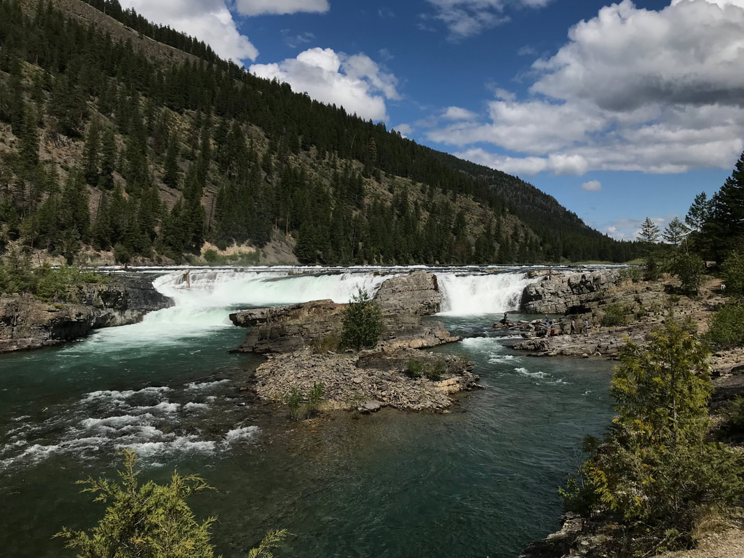
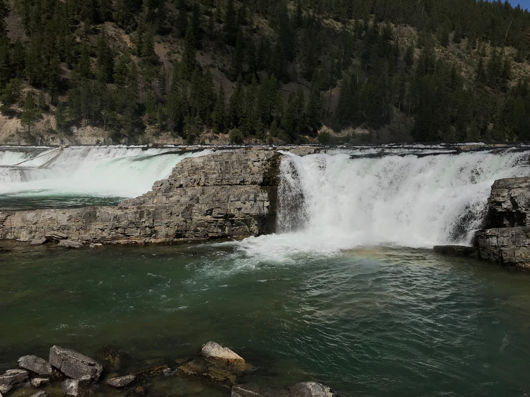
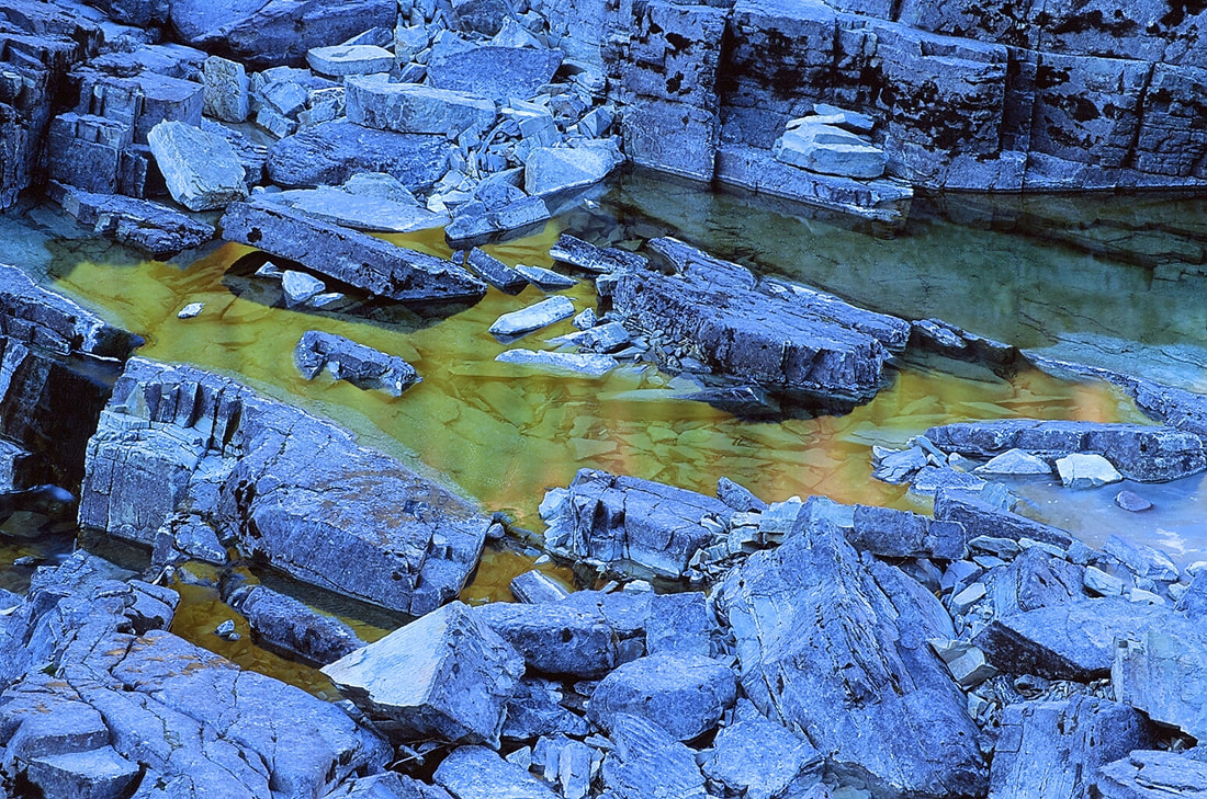
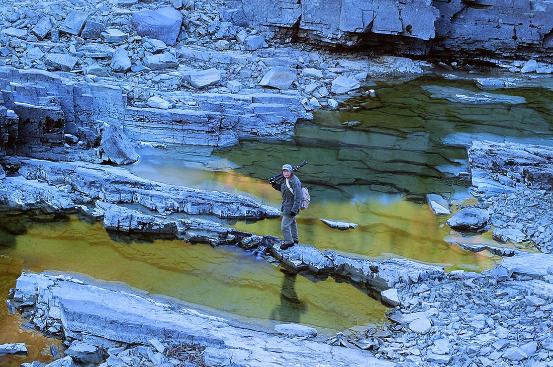
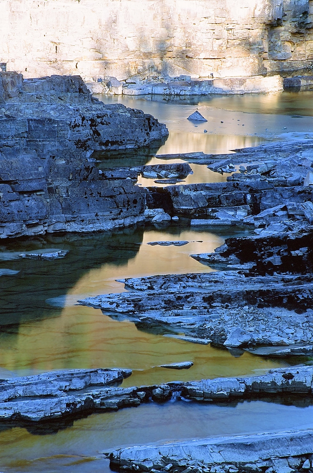
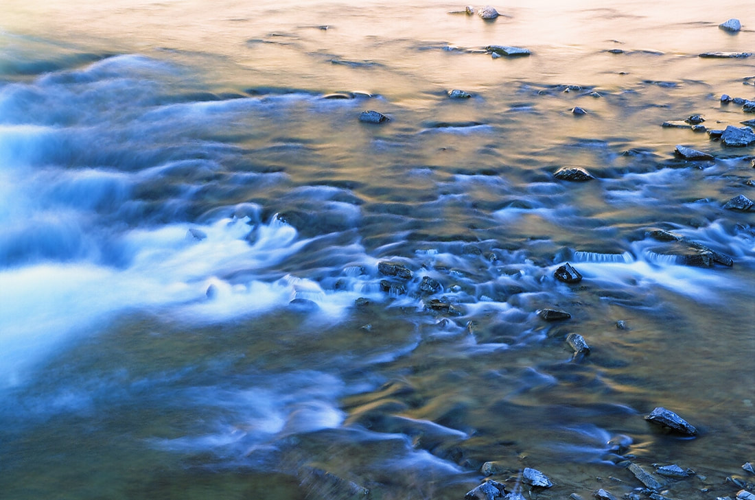
There are great Block type drops that are very wide, as well as bowls that the river drops into. You will also notice several islands all along the river course. Hike east, up stream for many more views of this mighty river.
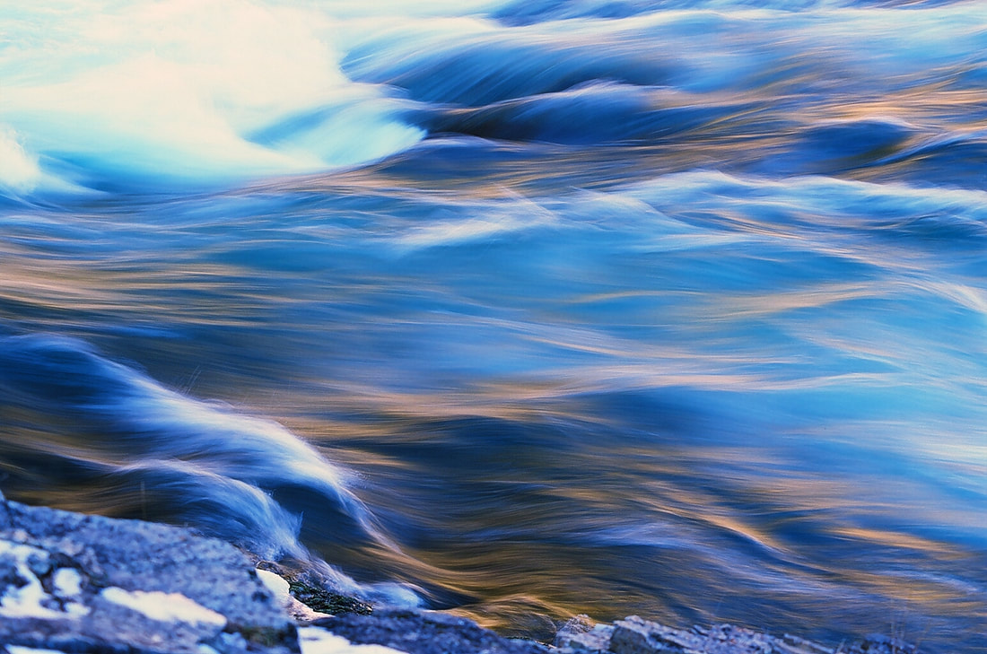
If you are a photo enthusiast, be sure to take your tripod, polarizing filter, and cable release.
After spending some time here, head back on the trail you came in on.
At the sign
Head west to the swinging bridge. As you approach the bridge, notice the Stromatolites fossils at the base of the swinging bridge.
Stromatolites are a laminated usually mounded sedimentary fossil formed from layers of cyanobacteria, calcium carbonate, and trapped sediment.
They are a type of reef.
Stromatolites date back to 3.5 billion years. But these samples are not that old. They are very rare, but there are still living in Tasmania.
Stomatolite mean "layer rock".
Not too long ago, the swinging bridge was replaced, with a new modern one. Take a walk over to the other side.
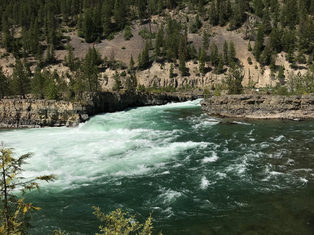
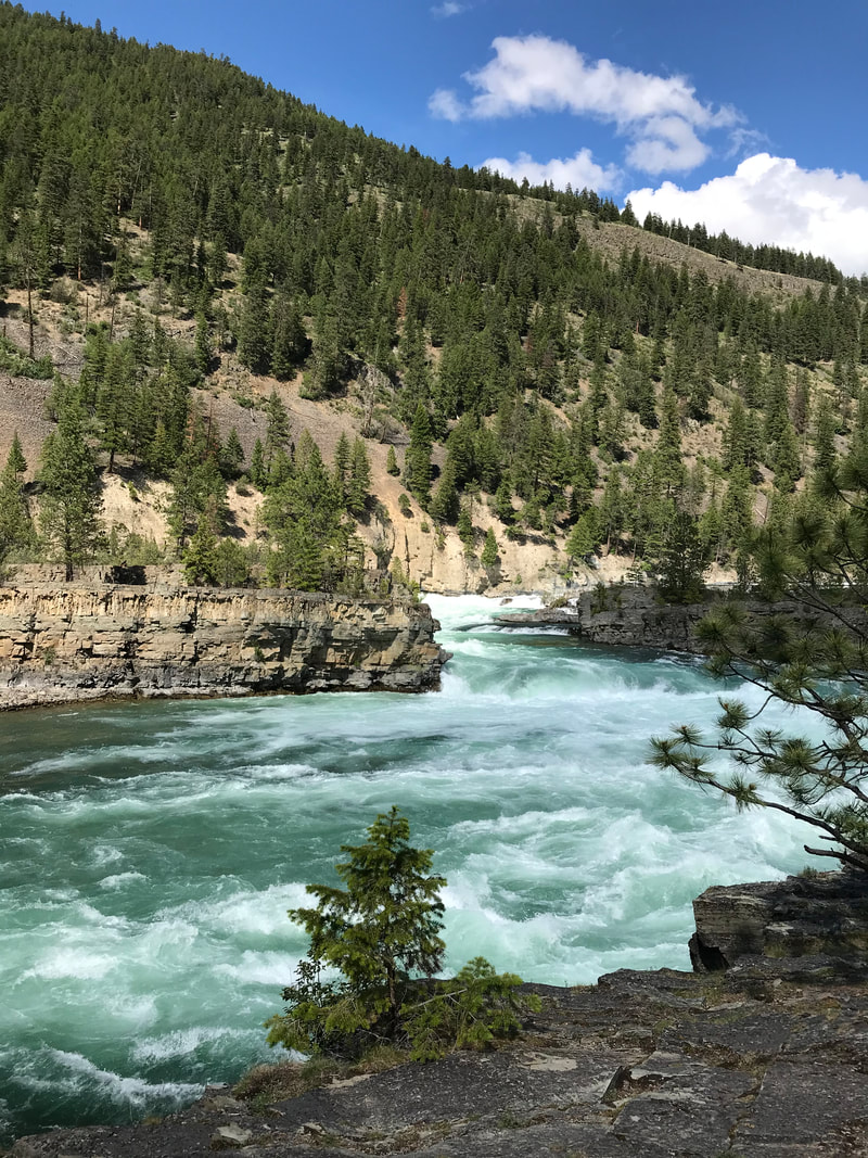
There are additional views of the Kootenai River, and even a trail along its north shore. But be aware, the drop offs are dangerous.
When you head back to your car, stop by the concession stand for an ice cream or other treats.
THE KOOTENAI RIVER IS HUGE AND VERY DANGEROUS IF YOU GET TOO CLOSE TO THE EDGE. PLEASE KEEP YOUR CHILDREN SAFE.
DIRECTIONS:
95 & Hwy 2 North of Bonners Ferry.
From Hwy 95 north of Bonners Ferry, turn right (E) onto Hwy 2.. You will drive thru Troy, Montana, and past Hwy 56. There are restrooms at this intersection.
At about 4.4 miles from Hwy 56, the falls parking is on the left (N) side of the highway.
PLEASE, USE EXTRA CARE AS YOU CROSS OVER THE ON COMING LANE OF TRAFFIC.
From Clark Fork
Head east on Hwy 200 to the left (N) turn onto Hwy 56.
Hwy 56 is by far the most beautiful drive in the area. On your right (E) is the Cabinet Mountain Wilderness, while on your left (W) is the Proposed Scotchman Peaks Wilderness. Do this drive slow, and look around as you head north.
After a little over 35 miles, you will come the junction with Hwy 2. (Restrooms)
Turn right (E) onto Hwy 2 to the parking area for Kootenai Falls.
PLEASE, USE EXTRA CARE AS YOU CROSS OVER THE ON COMING LANE OF TRAFFIC
COOL THINGS CLOSE BY:
The Cabinet Mountain Wilderness, with trails to Cedar Lakes.
The Proposed Scotchman Peaks Wilderness with trails to Pillick Ridge, Scotchmans Peak, Ross Creek Cedars, and L.& U. Spar Lakes
The Proposed Scotchman Peaks Wilderness with trails to Pillick Ridge, Scotchmans Peak, Ross Creek Cedars, and L.& U. Spar Lakes
HAZARDS:
ALL WATERFALLS ARE A HAZARD, DUE TO THEIR SLIPPERY NATURE. ALWAYS BE EXTRA CAREFUL NEAR ANY WATERFALL.
The rivers edge are exposed. PLEASE take care of your children while all along the Kootenai River
The rivers edge are exposed. PLEASE take care of your children while all along the Kootenai River
R & P:
Henry's, The Shack, in Libby.
Click for Current NOAA Weather Conditions

