CUBE IRON MOUNTAIN 7110’. TRAIL #459 & 450
EVENT TYPE: Day hiking, backpacking, fishing, scrambling
DISTANCE: 8.5 miles RT
ELEVATION GAIN: 2950’
DIFFICULTY: Moderate
MAPS: Lolo N. F., Plains-Thompson Falls
GPS: 47°68’72” N 115°29’07” W
Plains/Thompson Falls Ranger District: 406.826.3821
SANDERS COUNTY SHERIFF: CALL 911 FIRST or 406.827.3584
DISTANCE: 8.5 miles RT
ELEVATION GAIN: 2950’
DIFFICULTY: Moderate
MAPS: Lolo N. F., Plains-Thompson Falls
GPS: 47°68’72” N 115°29’07” W
Plains/Thompson Falls Ranger District: 406.826.3821
SANDERS COUNTY SHERIFF: CALL 911 FIRST or 406.827.3584
DESCRIPTION:
WE HAVE ADDED THE AREAS SHERIFF’S EMERGENCY PHONE NUMBERS FOR EACH TRIP WRITE UP UNDER THE RANGER DISTRICT INFO. IF AN EMERGENCY OCURRS, EVALUATE YOUR CIRCUMSTANCES AND CALL ONLY IF NEEDED.
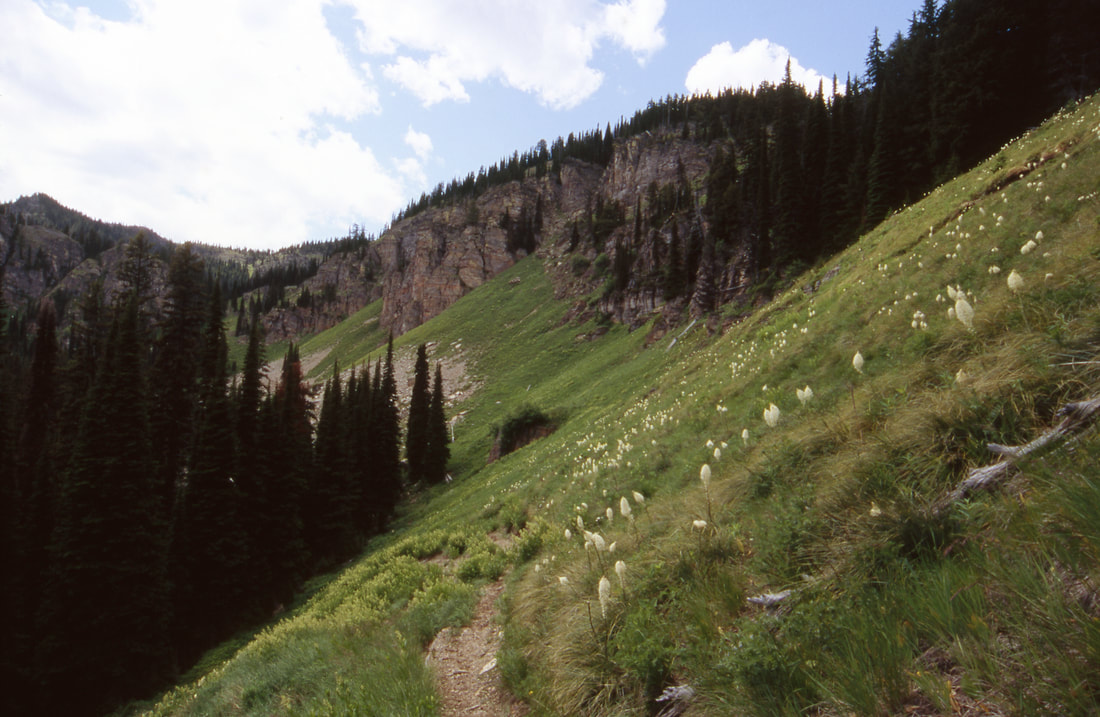
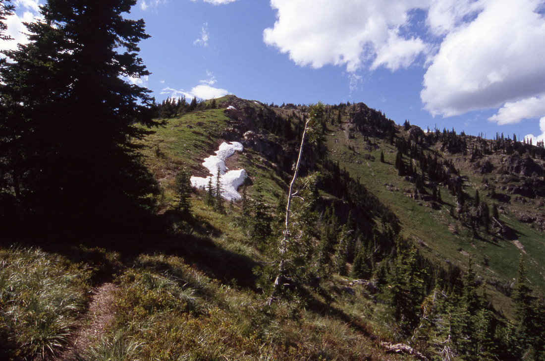
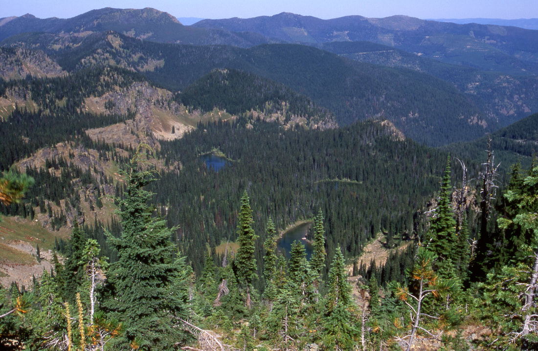
Trail #459 starts the hike where it switchbacks gradually up hill before starting a gradual decent. A few switchbacks take you down to the lakes and to Trail #450. Continue on 450 past Cabin Lake on your way to Porcupine Lake. The hike passes an unnamed lake on your left and Grass Lake above the trail. In a short distance you will come to Sqaylth-Kwum Pass (was Squaw Pass) below the Cube Iron Mountain. Take the side trail to the right (west) up to the summit of Cube Iron Mountain. On top you can see the American Selkirks to the west, and the Cabinet Mountain Wilderness to the east.
After descending back to Sqaylth-Kumn Pass, continue east on Trail # 460 along Four Lakes Creek to the trailhead.
OPTION #1:
At Cabin Lake turn right up Trail # 506 and look for a faint junction with Trail # 1510 to the left (SW). The trail passes behind a small peak at the top of it's ridge line. Continue to Trail #1512 where you will turn left (SE)and descend to Sqaylth-Kum Pass. Take Trail # 460 along Four Lakes Creek back to the trailhead. This addition adds 2.5miles to the loop.
DIRECTIONS:
From Thompson Falls, Montana, drive east on SH 200, turning left (North) at milepost 56 onto a road along the Thompson River for 6.2 miles and bear left at the "Y" onto FR # 603 or the West Fork Thompson River. Drive 7.5 miles to the trailhead.
HAZARDS:
No notable hazards, until you hike up to Cube Iron Mountain. Then be cautious up around the rocky summit
COOL THINGS CLOSE BY:
Lower & Upper Blosson Lakes, Revett Lake, Granite Peak, Siamese Lake Loop, Heart Lake, Hub Lake, Ward & Eagle Peaks, St. Regis Lakes.
R & P:
NA


