BANKS LAKE
EVENT TYPE: day hiking, backpacking, paddling, fishing, climbing, and more
DISTANCE: varies on activity
ELEVATION GAIN: Up to 700 verts depending on activity
DIFFICULTY: easy+
MAPS: COULEE DAM AREA
GPS: At the Steamboat Rock S.P. entrance road & Hwy 155. 47°49’45” N 119°08’01” W
GRANT COUNTY SHERIFF: CALL 911 FIRST or 509.754.2011
DISTANCE: varies on activity
ELEVATION GAIN: Up to 700 verts depending on activity
DIFFICULTY: easy+
MAPS: COULEE DAM AREA
GPS: At the Steamboat Rock S.P. entrance road & Hwy 155. 47°49’45” N 119°08’01” W
GRANT COUNTY SHERIFF: CALL 911 FIRST or 509.754.2011
DESCRIPTION:
WE HAVE ADDED THE AREAS SHERIFF’S EMERGENCY PHONE NUMBERS FOR EACH TRIP WRITE UP UNDER THE RANGER DISTRICT INFO. IF AN EMERGENCY OCURRS, EVALUATE YOUR CIRCUMSTANCES AND CALL ONLY IF NEEDED.
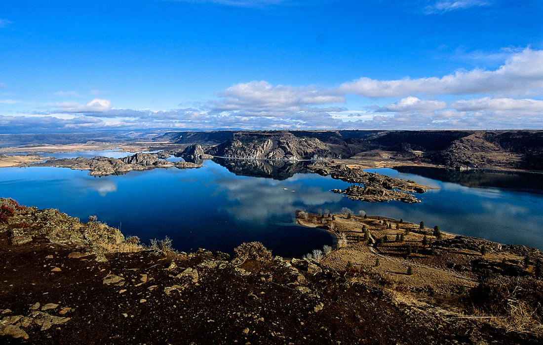
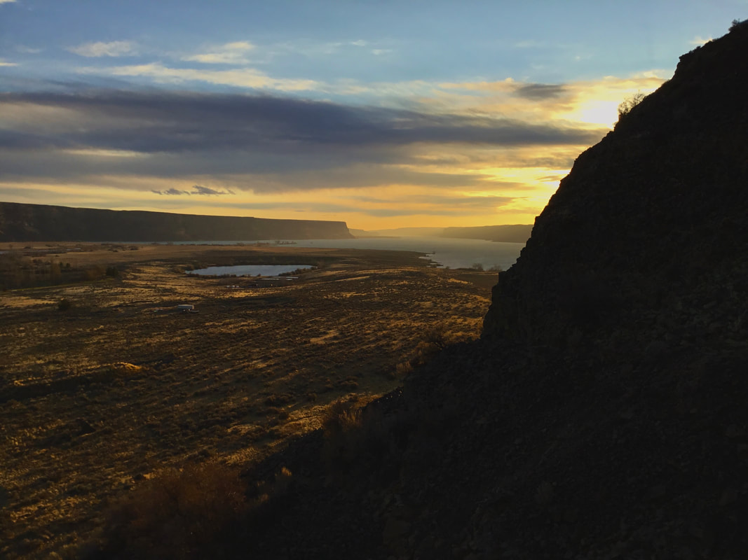
Banks Lake is actually a reservoir, created during the construction of the Grand Coulee Dam. This reservoir was created to supply water for irrigation projects in the scablands.
There are so many options to hike, climb, paddle, scramble, camp and more, you will have a hard time doing them all.
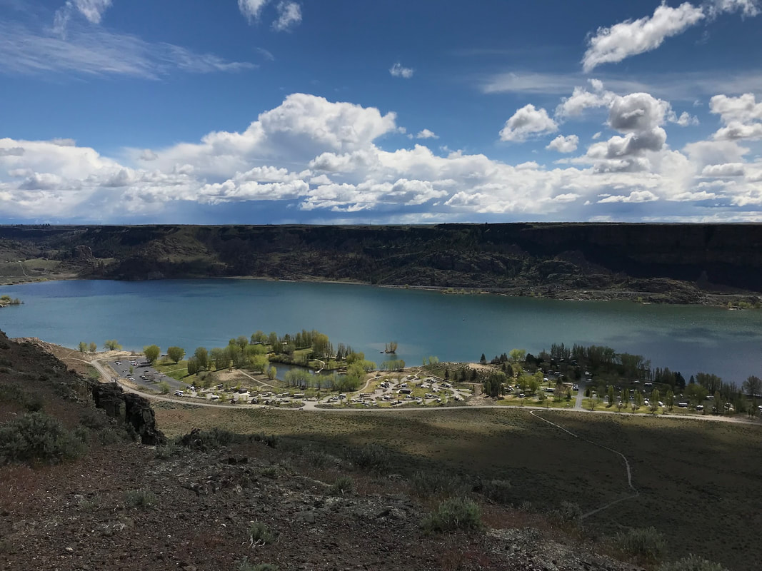
Steamboat Rock offers hiking with a view. It stands about 700’ above the lake, with an upper trail around most of it. At the north end of the rock, is an eagles nest you can view from above.
Northrup Canyon is close by, with a nice trail up to it’s lake. Along the trail is a really old settlement and a newer ranch house.
Above the ranch house, is an area that, during the dam construction, it was a workers camp. Look closely, there is a field of old tin cans just below where their mess hall was. In places, the pile is several feet deep.
As the trail wonders thru a cliffy area, there is some great climbing.
Along Hwy 155 is the Roadside Climbing Area. It has several routes up to about 5.9.
Northrup Canyon has many more options.
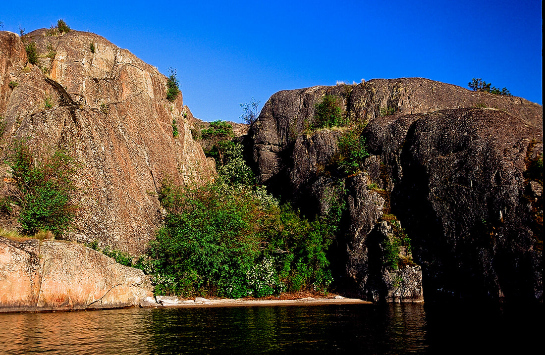
Another real cool way to climb here, is to kayak out to the many islands, and climb right out of your boat.
OPTION #1:
Northrup Canyon
As you hike towards Northrup Lake, and the lake comes into view, the trail drops towards the lake, bear left off trail, aiming for the buffs above the lake, and hike up around it. There are great spots to enjoy your lunch with a view.
Also, near the beginning of the hike, there are several short spires and walls to climb. PLEASE CLIMB WITH CAUTION.
Also, be aware. I tried one year, to walk back to the parking area via the east high ridge. It is not an easy hike, and has many hazards. Your best bet is to hike within the canyon.
OPTION #2:
KAYAKING
The kayaking at Banks Lake is unique and fun. There are several islands to paddle around, and a cool up stream channel with many interesting inlets and bays to visit.
The kayaking at Banks Lake is unique and fun. There are several islands to paddle around, and a cool up stream channel with many interesting inlets and bays to visit.
DIRECTIONS:
From Spokane, drive west on Hwy 2 for about 2 hours to the intersection with Hwy 155. Turn right (north) for about 18 miles.
COOL THINGS CLOSE BY:
The Grand Coulee Dam, Sun Lakes- Dry Falls S.P., Lake Lenora Caves, and Lake Rossevelt.
HAZARDS:
Rattle snakes are always a hazard in the scablands. There are lower leg plastic sleeves you can buy to protect from bites. Rattlesnakes are cold blooded critters, hence they sun themselves behind rocks in the sun. Do not step over rocks without knowing what's on the sunny side.
Looking very closely for snakes.
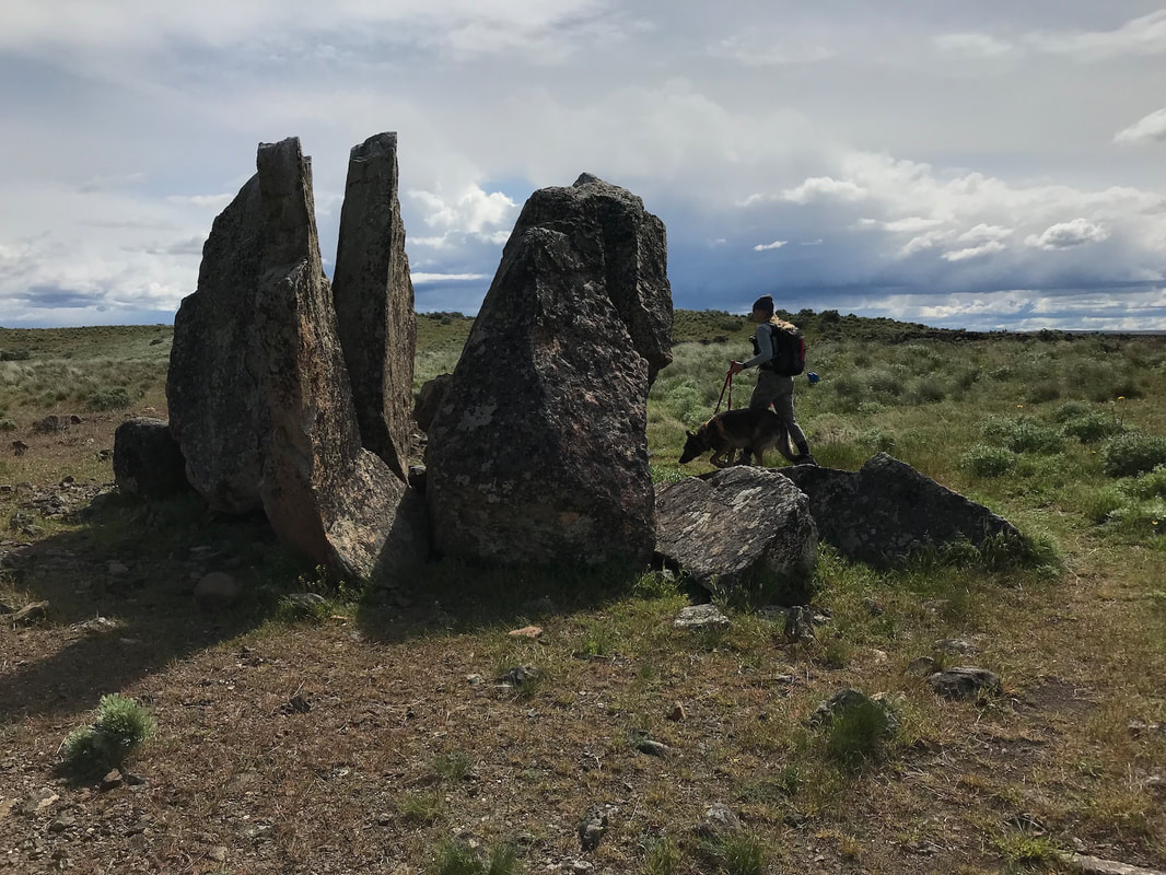
Because the scablands are very different from where you usually hike, you must be aware of your surroundings. Observe the land marks all around the area you are in. If you think you are misplaced, STOP. Retrace your steps back the way you came into an area. DO NOT go off trail, unless you are proficient in route finding. And always carry a map and compass.
SEE OUR RESOURCES SECTION....TRAIL ETIQUETTE & SKILLS, AND WILDLIFE FOR MORE INFO ON SNAKES
R & P:
N/A
