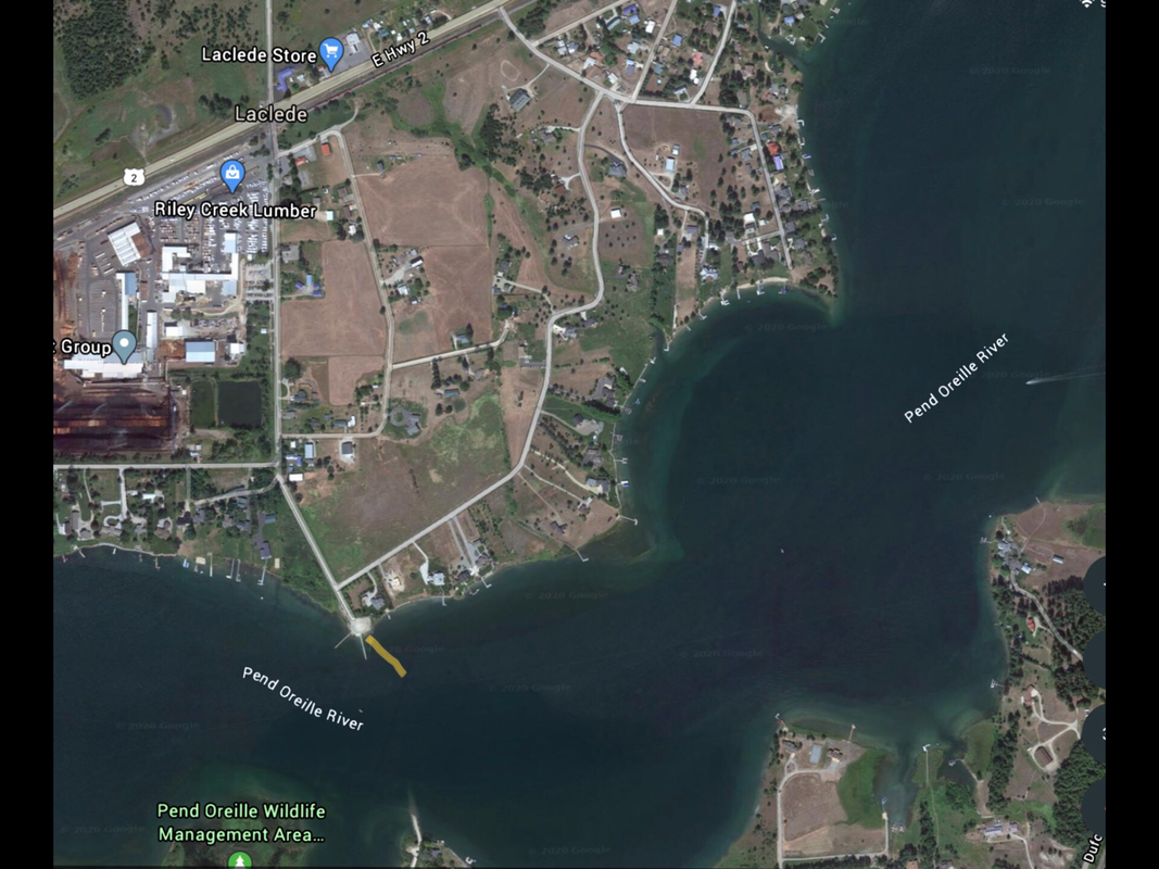
RILEY CREEK RECREATION AREA
PADDLE DISTANCE: varies
ELEVATION: 2066’
LENGTH AND ACREAGE: varies
MAPS: IPNF, Priest River Topo
LAUNCH GPS: 48°09’32” N 116°46’19” W
ELEVATION: 2066’
LENGTH AND ACREAGE: varies
MAPS: IPNF, Priest River Topo
LAUNCH GPS: 48°09’32” N 116°46’19” W
DESCRIPTION:
This recreation area and launch are located on a peninsula, SW of Laclede, and the Riley Creek Lumber Mill.
The camp ground and launch, occupies most of the SW end of the peninsula.
The Park has all the amenities, including a great swimming area.
The camp ground and launch, occupies most of the SW end of the peninsula.
The Park has all the amenities, including a great swimming area.
ATTRACTIONS
Access to the Pend Orielle River and Lake, Morton Slough, and Round Lake
DIRECTIONS:
In Laclede, turn off Hwy 2 at the S. Riley Creek Park Drive. In .4 miles the drive turns right (west). Stay on the Riley Creek Park Drive to the park.
COOL THINGS CLOSE BY:
Morton Slough, Round Lake State Park, Priest River, and Sandpoint
R & P:
Burger Express in PriestvRiver


