FISHER PEAK 9336’, B.C., CANADA
EVENT TYPE: Scrambling
DISTANCE: 11.1 miles RT
ELEVATION GAIN: 5208’
DIFFICULTY: Extremely strenuous
MAPS: Cranbrook. 82 G/NE-NW
GPS: Trailhead. 49°38’01”N 115°30’42”W
Summit. 49°38’47”N 115°29’04”W
DISTANCE: 11.1 miles RT
ELEVATION GAIN: 5208’
DIFFICULTY: Extremely strenuous
MAPS: Cranbrook. 82 G/NE-NW
GPS: Trailhead. 49°38’01”N 115°30’42”W
Summit. 49°38’47”N 115°29’04”W
DESCRIPTION:
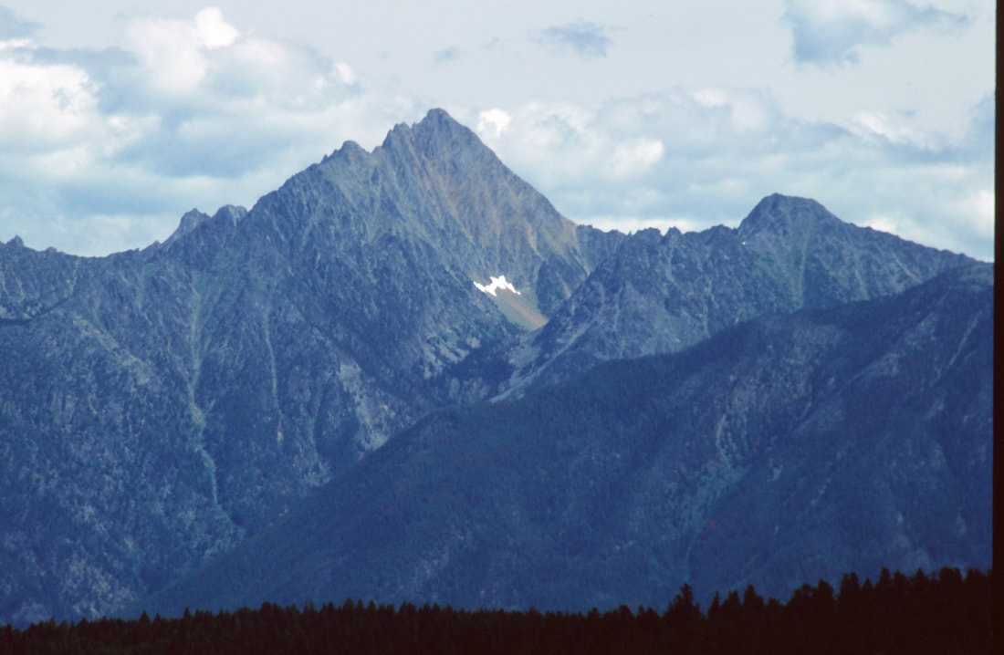
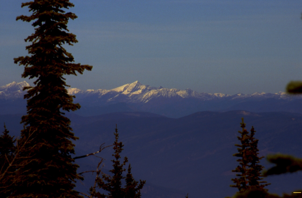
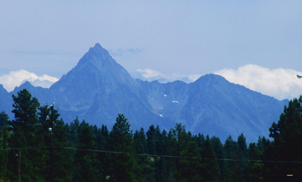
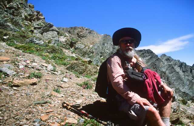
If you have ever visited Cranbrook, you may have noticed Fisher Peak to the East. Fisher Peak is in the Fisher Range of the Southern Canadian Rockys. From Cranbrook, Fisher sticks up 1300’ above the tallest peaks in the range. It’s prominence is a draw I just could not resist. After driving to the trailhead, I van camped, so I’d be ready bright and early. I woke at 5am, ate breakfast, I decided I wanted to climb a vertical mile to the top.
So I hiked down the road about 80 verts, to start my ascent.
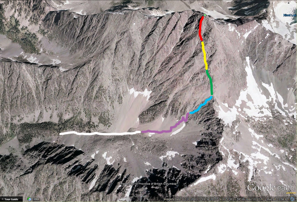
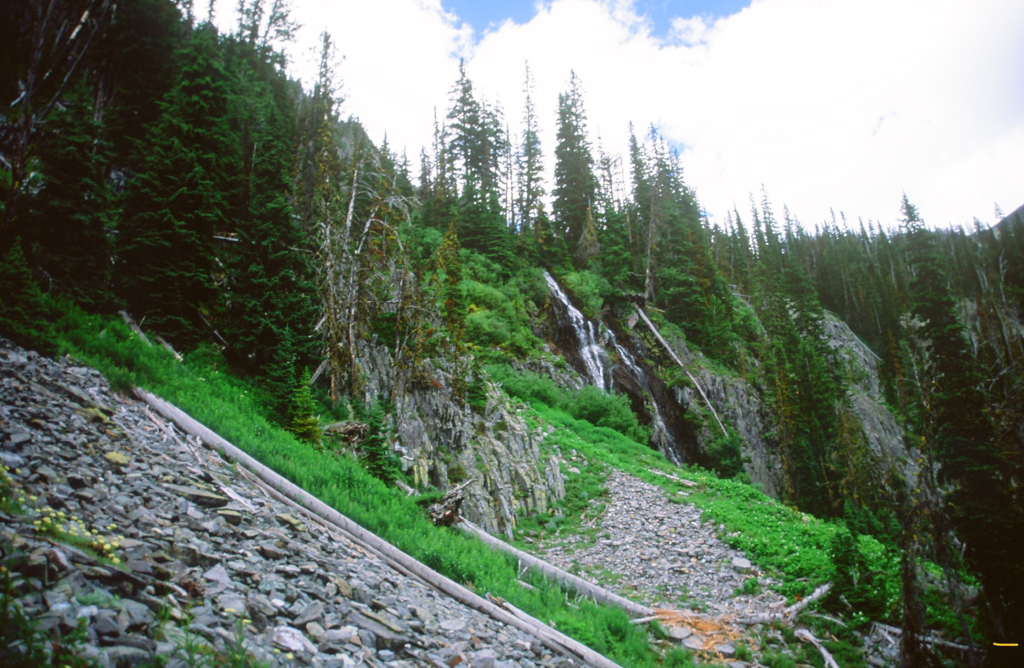
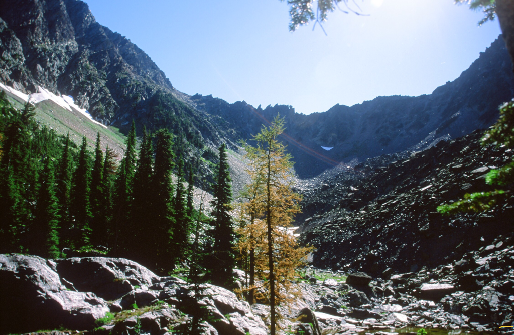
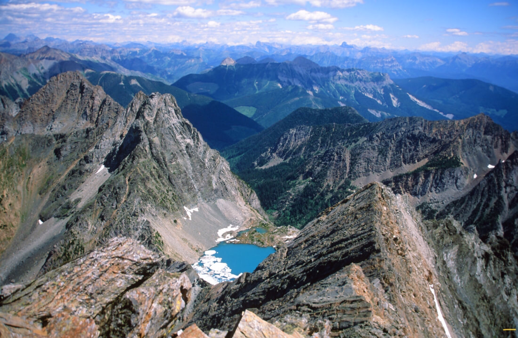
The trail starts out like most trails in the Rocky Mountains, rocky and some what steep. Then it gets steeper. It seemed to me, that about every 2000 verts, there’s a less steep section that holds small ponds and a moment of relief from the relentless UP. Above one section, there’s a nice waterfall to stop a minute to catch your breath. The next 2000’ is on loose scree up thru a narrow gully, and is above the tree line. The gully is edged with fluted vertical rock bands that offer great images.
The third vertical section rises higher amongst high ridges all around you. The scenery is spectacular within these sections. Wildflowers, marmots, and birds tend to lift your spirits on your ascent. Then, as you scale a near vertical scree section, that tends to rob you of your steps, you are on the saddle 1300 verts below the summit.
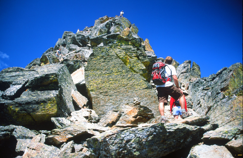
During my ascent, a wedding party from the weekend, decided to climb the peak.
They moved up past me as I started my ascent. They had dogs and kids with them, so I volunteered to watch the dogs while their humans summited and shot more wedding photos. In a short time one of the guys came down to relieve me of my dog duties.
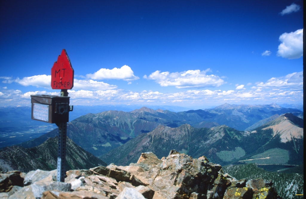
On the summit is a red summit registration box. I told them I knew cameras, and used their camera to shoot more wedding photos. It was too crowded on the summit, so I headed down after getting the images I wanted. They spent a long time on top, which gave me time to descend.
In all of these 2000’ sections, rock fall is a serious concern. Be aware. And yell ROCKS loud.
About 3/4 the way down, they over took me on the descent. Two of them were as slow as I was, so we hiked and chatted about what a beautiful climb it is.
When the three of us reached the cars, the folks had their cars point in the direction of the trailhead. What was really nice, was that they had a large cooler of Canadian beer on ice. We sat on fenders and drank beer until I needed a rest.
After I drove back to Cranbrook, I couldn’t take my eyes off Fisher Peak.
DIRECTIONS:
From Fort Steele, turn off the Highway 93 at the Fort Steele Gas Station and Camp Grounds unto the Wardner-Fort Steele Road.
After precisely 2.0 kilometers, turn left onto Mause Creek Road (totals (T) are from this point.
Follow the main road for 2.1 kilometers (T 2.1 km), and go straight ahead (do not take the fork to the right).After 1.3 km (T 3.4 km), continue straight ahead (do not take the fork to the left). After 6 km (T 9.4 km) you will see the trail head sign on the left, and some parking spots mostly on the right.
OPTION #1
While you are in the area, drive up to Kimberly, and visit Marysville Falls
OPTION #2
After visiting the Marysville Falls, get back on Canadian Hwy 95A, and drive NE towards Canadian Hwy 93.
Along the way, watch the right (east) side of the road, for a spectacular display of every ski you have ever owned.
A property owner has collected old skis for decades, and wired them to his fence. They had to separate the sets of skis, because people have been stealing them.
Along the way, watch the right (east) side of the road, for a spectacular display of every ski you have ever owned.
A property owner has collected old skis for decades, and wired them to his fence. They had to separate the sets of skis, because people have been stealing them.
HAZARDS:
This is a serious hike/scramble. However, weather and rock fall are a big concern. BE PREARED.
COOL THINGS CLOSE BY:
Cranbrook, Kimberly, Purcell Wilderness P.P., Goat Range P.P., Valhalla P.P.,
The Rockies P.P., and of course, the home of Kokanee Beer in Creston, B.C.
The Rockies P.P., and of course, the home of Kokanee Beer in Creston, B.C.
R & P:
N/A
PLAN YOUR TRIP:
Click for Current NOAA Weather Conditions
