PADDLE DISTANCE: varies ELEVATION: 2067’ LENGTH AND ACREAGE: 65 miles long & 14 Square miles or 88,008 acres, and 125 mikes of shore line. MAPS: LAUNCH GPS: 48°6’22” N 126°32’29 W
DESCRIPTION:
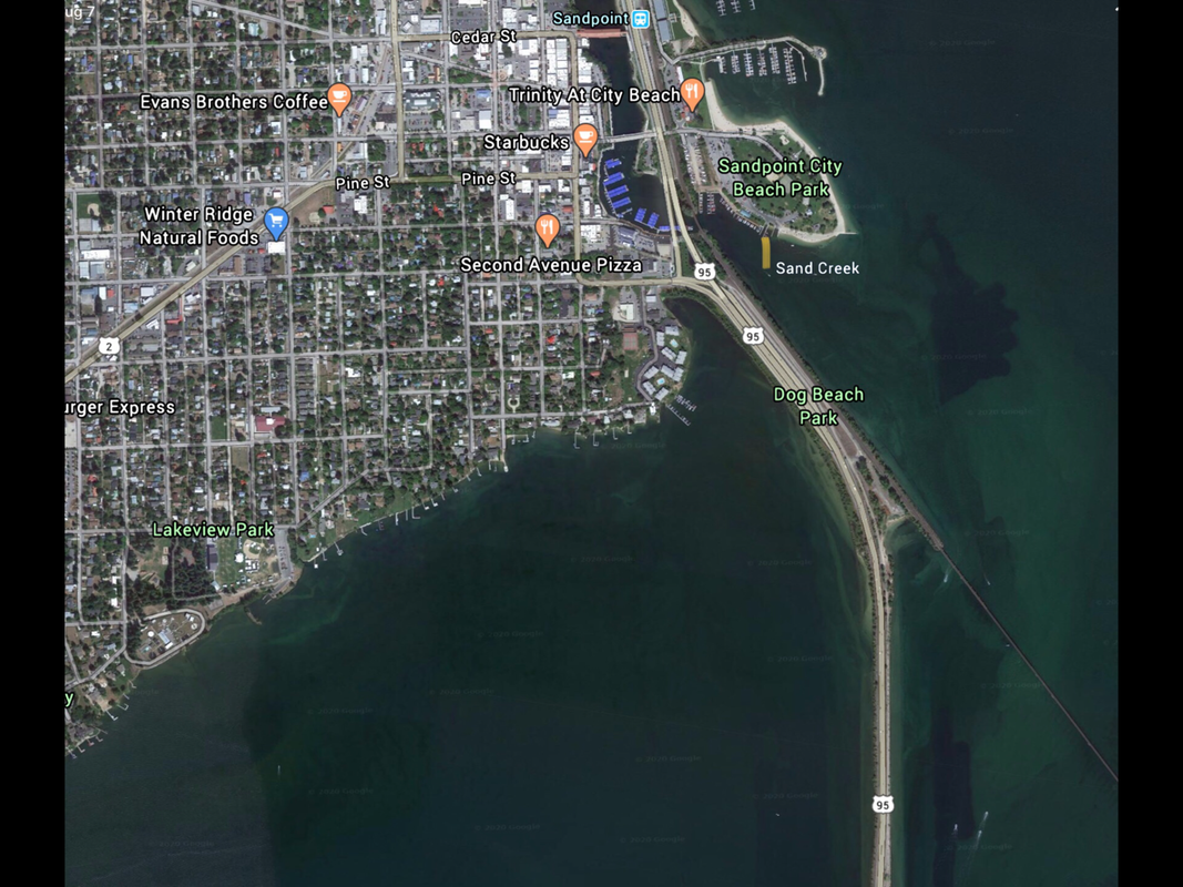
The Dandpoint City Beach is a gathering site for people to swim, play volleyball, tennis, sun bathing, and boating
ATTRACTIONS
A sandy beach circles the peninsula for all water sports. Boat launch with restrooms.
DIRECTIONS:
As you cross the Pend Orielle River’s Long Bridge, take the Sandpoint exit thru downtown. As you turn onto E. Superior Street, turn right onto S. 1st Ave. In less then a quarter of a mile, turn right onto Bridge Street, across the bridge, under the RR tracks, and the park is straight ahead. The launch is on your first right at the end. There’s a turn around just past the launch. Parking is always a problem, so be patient
COOL THINGS CLOSE BY:
Sand Creek, P.O.Lake, the Long Bridge 1 mile walk. As you cross under the RR tracks heading towards the park, take a sharp left turn onto Railroad Depot Road to the end. There you will find the lakeside P.O. Bay Trail. It goes all the way to the town of Ponderay.
R & P:
Mr. Sub, Eichardt’s, Jalapeños in Sandpoint. And the Burger Express near Dover to the west.