PADDLE DISTANCE: varies ELEVATION: 1540' LENGTH AND ACREAGE: varies MAPS:Spokane County, LAUNCH GPS: 47°47'27" N 117°34'02" W SPOKANE COUNTY SHERIFF: 509.477.2240
DESCRIPTION:
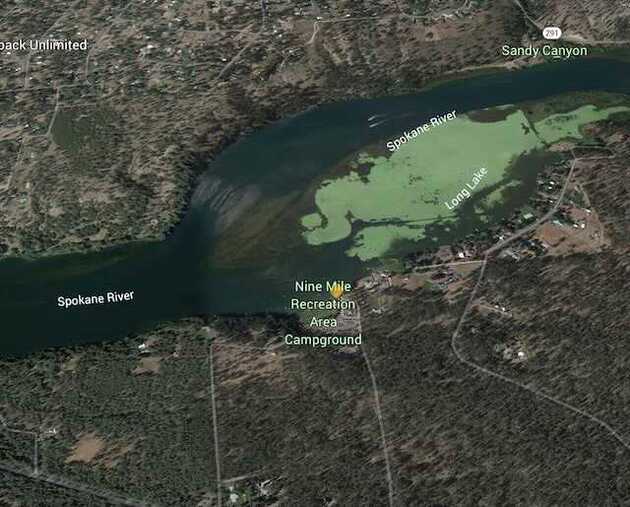
WE HAVE ADDED THE AREAS SHERIFF’S EMERGENCY PHONE NUMBERS FOR EACH TRIP WRITE UP UNDER THE RANGER DISTRICT INFO. IF AN EMERGENCY OCURRS, EVALUATE YOUR CIRCUMSTANCES AND CALL ONLY IF NEEDED. The Spokane River from the Nine Mile Falls Dam to the Long Lake Dam, is about 21 miles, wonders thru some unique and scenic areas. Near Tumtum are some climbing/scrambling rock to play on.
ATTRACTIONS
Little or no linear river movement, except in the spring.
DIRECTIONS:
From the Nine Mile Falls Dam, drive north on Hwy 291 thru Suncrest towards Tumtum, and beyond.
COOL THINGS CLOSE BY:
Nine Mile Falls Dam, the Spokane River, town of Tumtum, the McLellan Conservation Area, the Fisk State park, and climbing near Lake Spokane Campground.