SNOWSHOE PEAK 8738’
EVENT TYPE: Scrambling, climbing
DISTANCE: From Leigh Lake about 13.4 miles to Middle Fork Bull River
ELEVATION: 3594 verts. Descent to Bull River trailhead is about 5785verts Down
DIFFICULTY: Extremely difficult
MAPS: Kootenai N.F., Libby District, Snowshoe Peak topo. 406.293.8861
GPS: 48°13’22”N 115°41’20”W
RANGER NDISTRICT: Libby R.D.: 406.293.7773
SANDERS COUNTY SHERIFF: CALL 911 FIRST or 406.827.3584
DESCRIPTION:
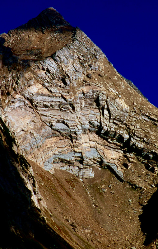
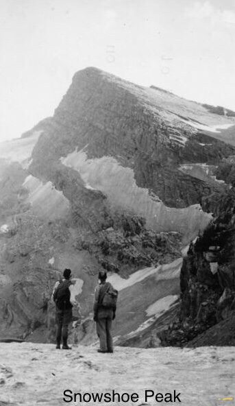
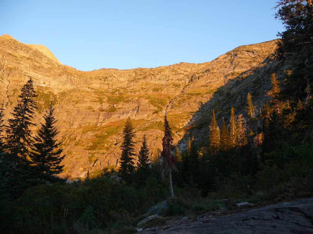
Climbing Snowshoe from any direction is a very challenging endeavor.
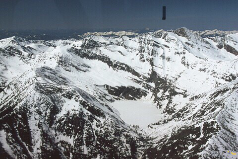
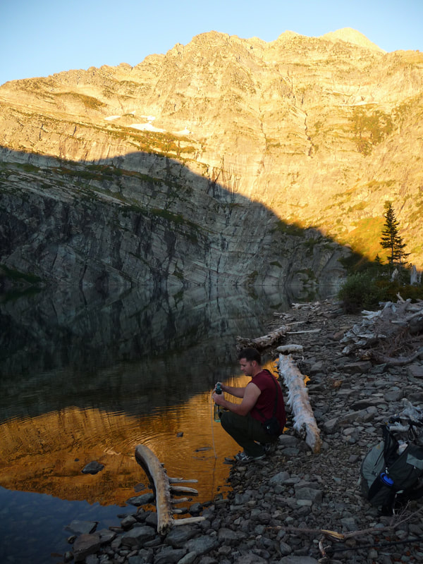
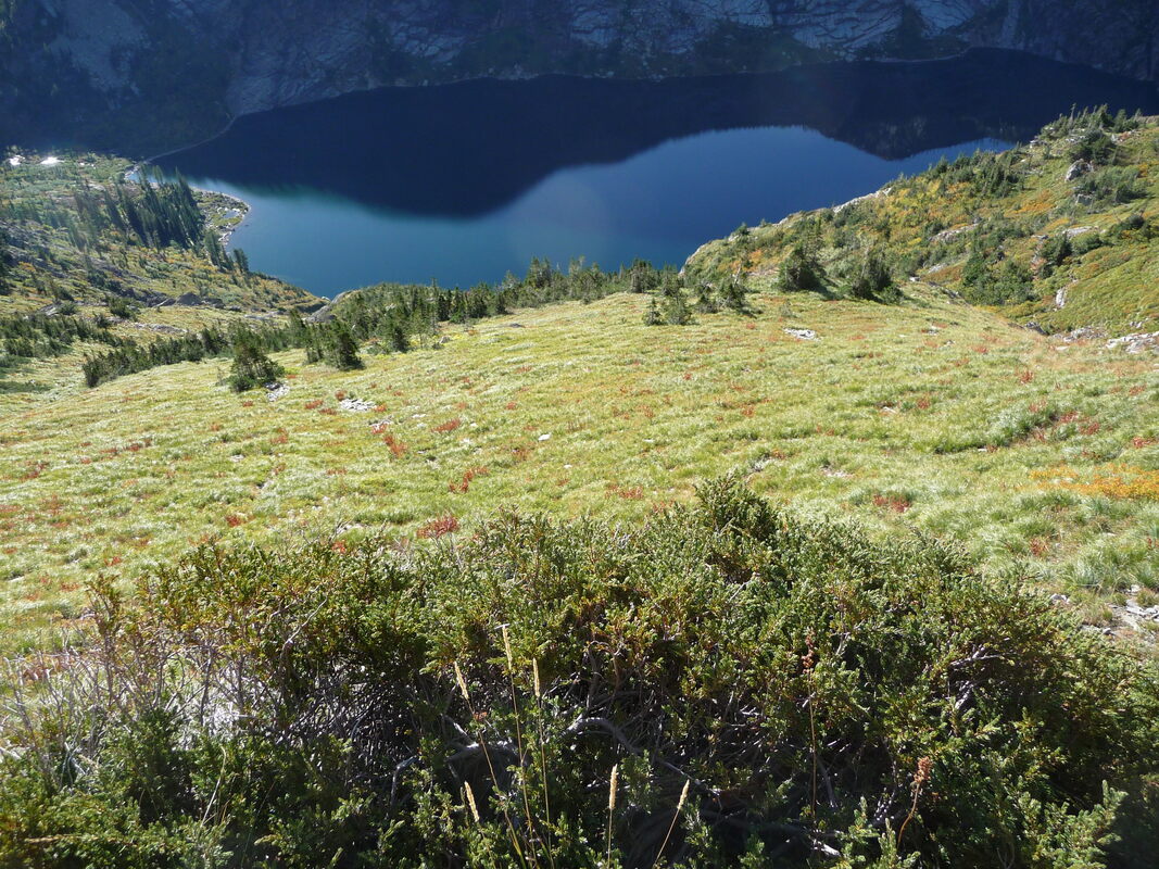
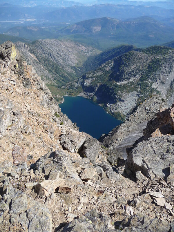
The easiest, if you can call it that, is to hike the 1.52 miles into Leigh Lake. Once at Leigh Lake, head around the right (N) side of the lake on a well beaten path for about .5 miles to a rocky beach, and an avalanche terminus. From here, head up the intermittent creek about 1/3 the way up to a “shelf”.
BE SURE TO MARK THIS SPOT FOR THE DESCENT, IF YOU ARE FOOLISH ENOUGH TO DESCEND TO LEIGH LAKE..
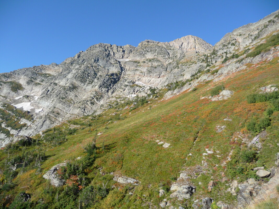
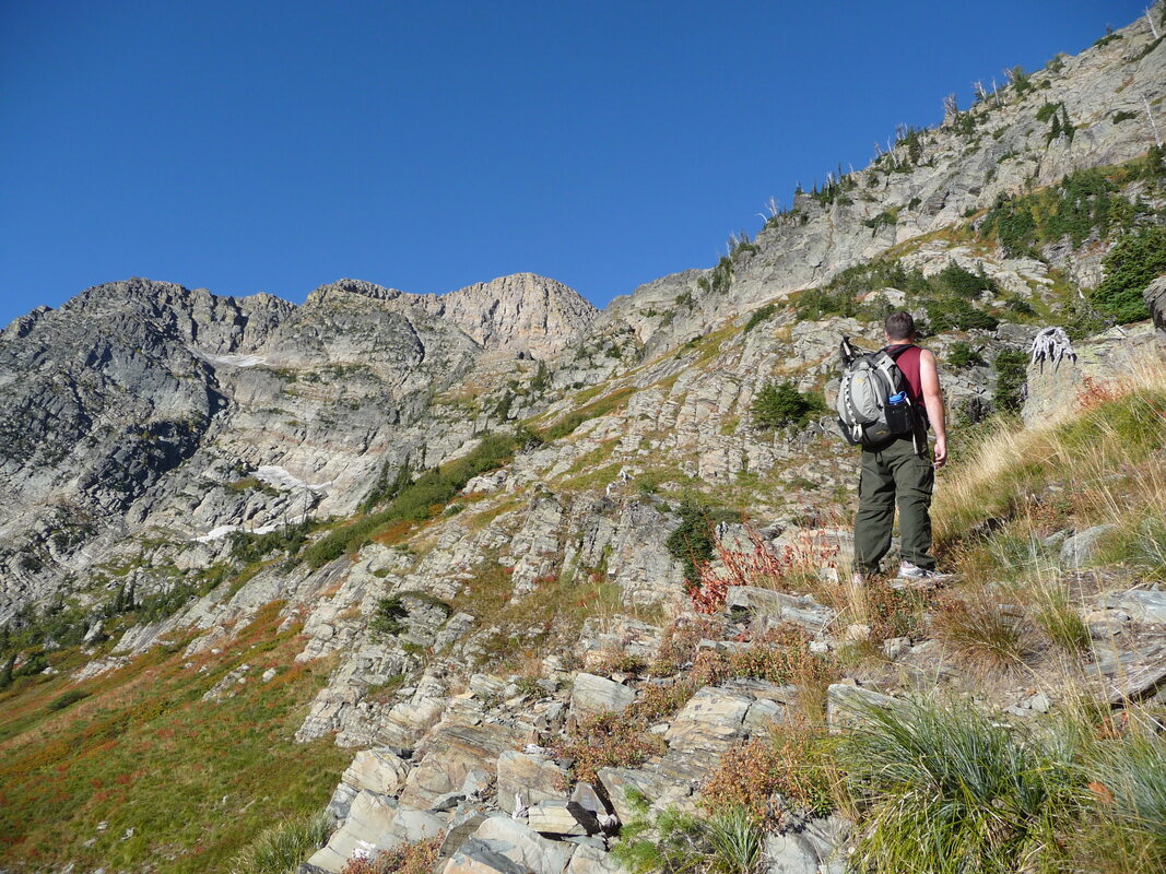
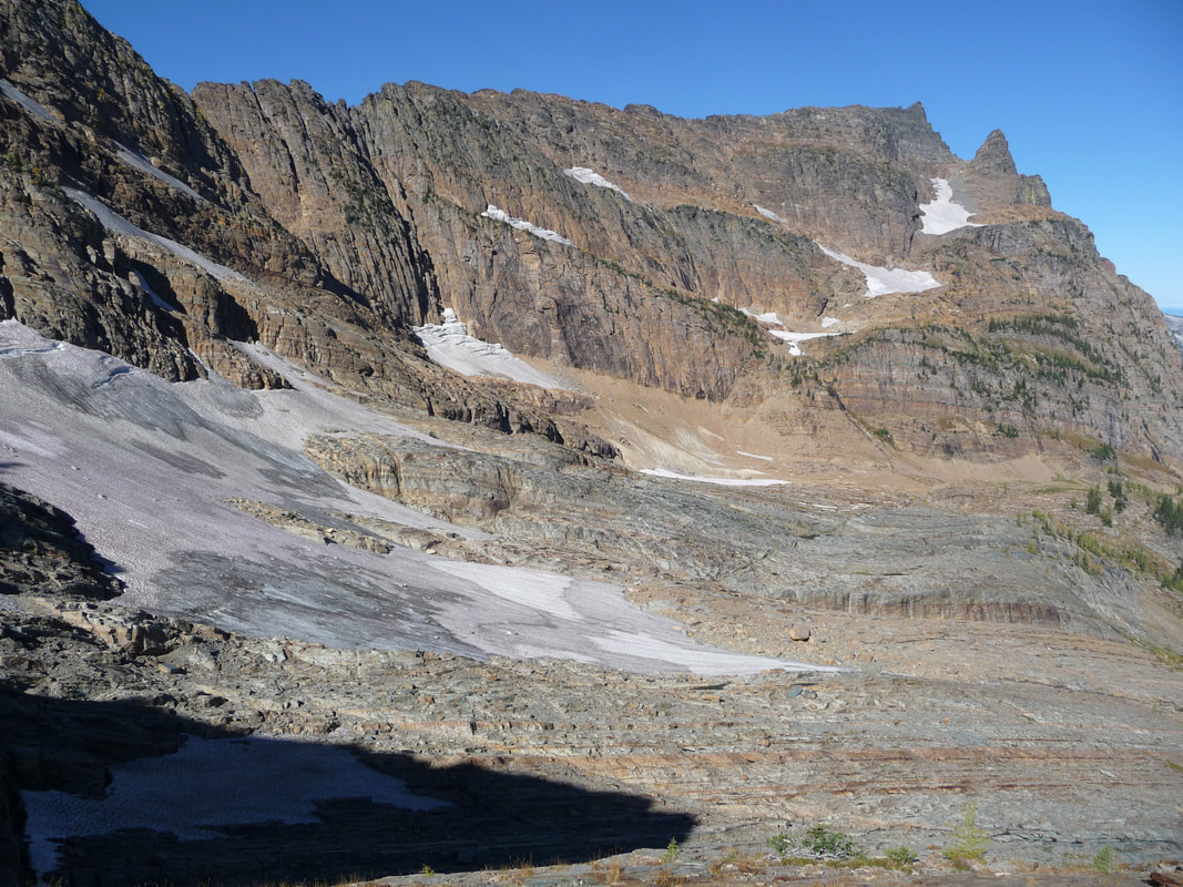
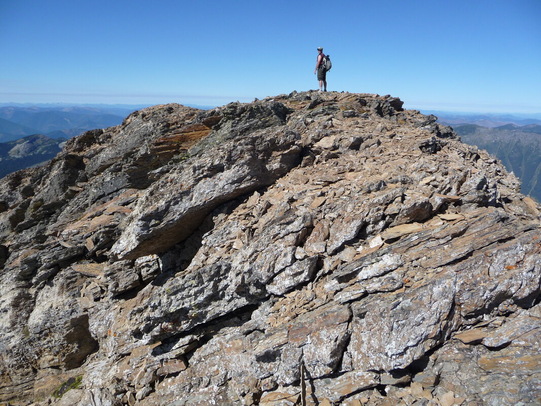
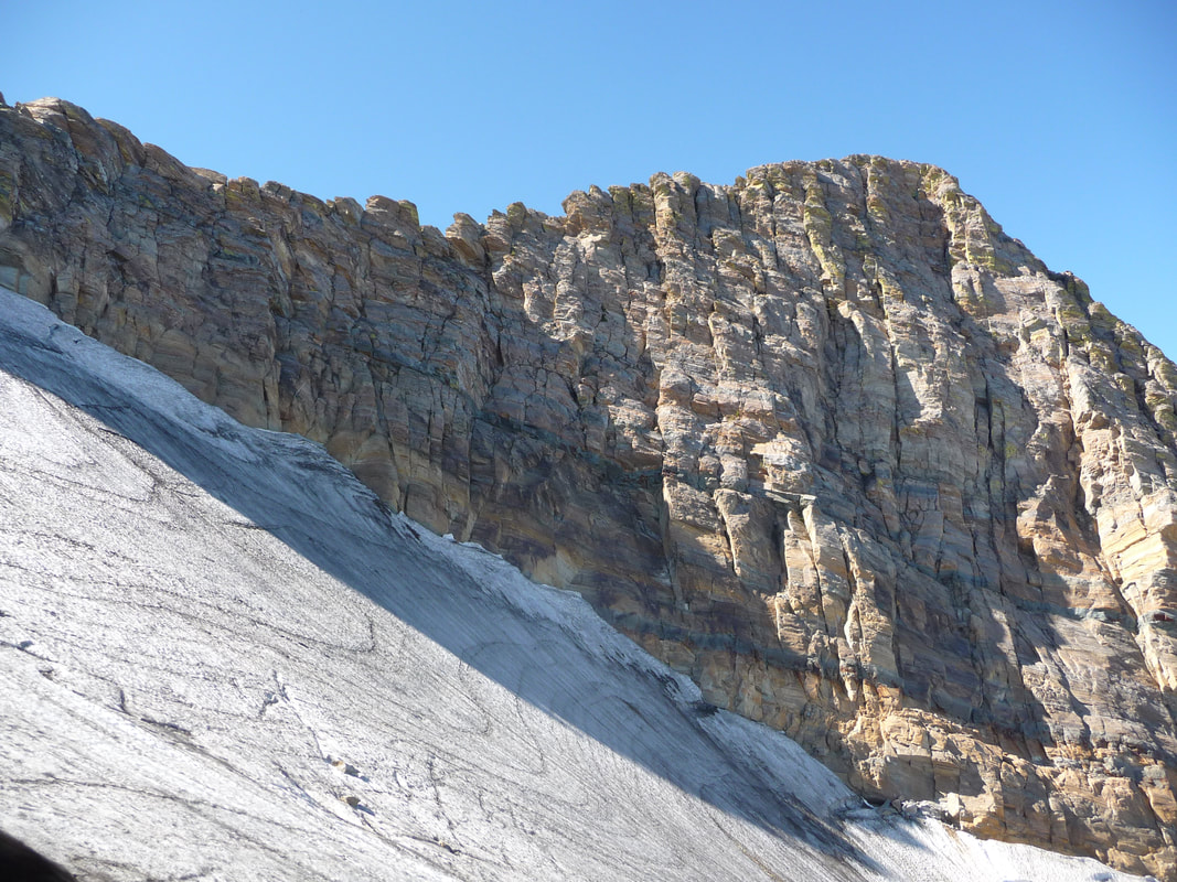
Locate a relatively level bench to cross to the left (W), to the first intermittent creek. MARK THIS SPOT. From here, start your ascent up this dry waterfall to a "Y" in the creek. Veer left to the high ridge. BE SURE TO MARK THIS SPOT FOR YOUR DESCENT. This will be your descent route, back to Leigh Lake. Once on the high ridge, head left (W) up above the only glacier in our region, Blackwell Glacier. The route ascends loose scree to the summit of Snowshoe Peak 8738’.
Once on the summit, retrace your steps to the marker at the Intermittent creek. Because the descending the route is down the dry creek bed is very difficult, and dangerous, I WOULD STRONGLY SUGGEST, TAKING A 75’ LENGHT OF GLACIER ROPE FOR THE DESCENT. Down climbing the dry waterfall is too dangerous, and very time consuming. Use the rope to do body belays down the hard descents.
Having explained all this, I would suggest you continue over Snowshoe Peak, and walk out the N. Fork Bull River.
The descent to Leigh Lake from Snowshoe is very dangerous.
OPTION #1:
Snowshoe peak can be accessed via Snowshoe Lake and the North Fork Bull River. This route is much longer, and higher, but much safer.
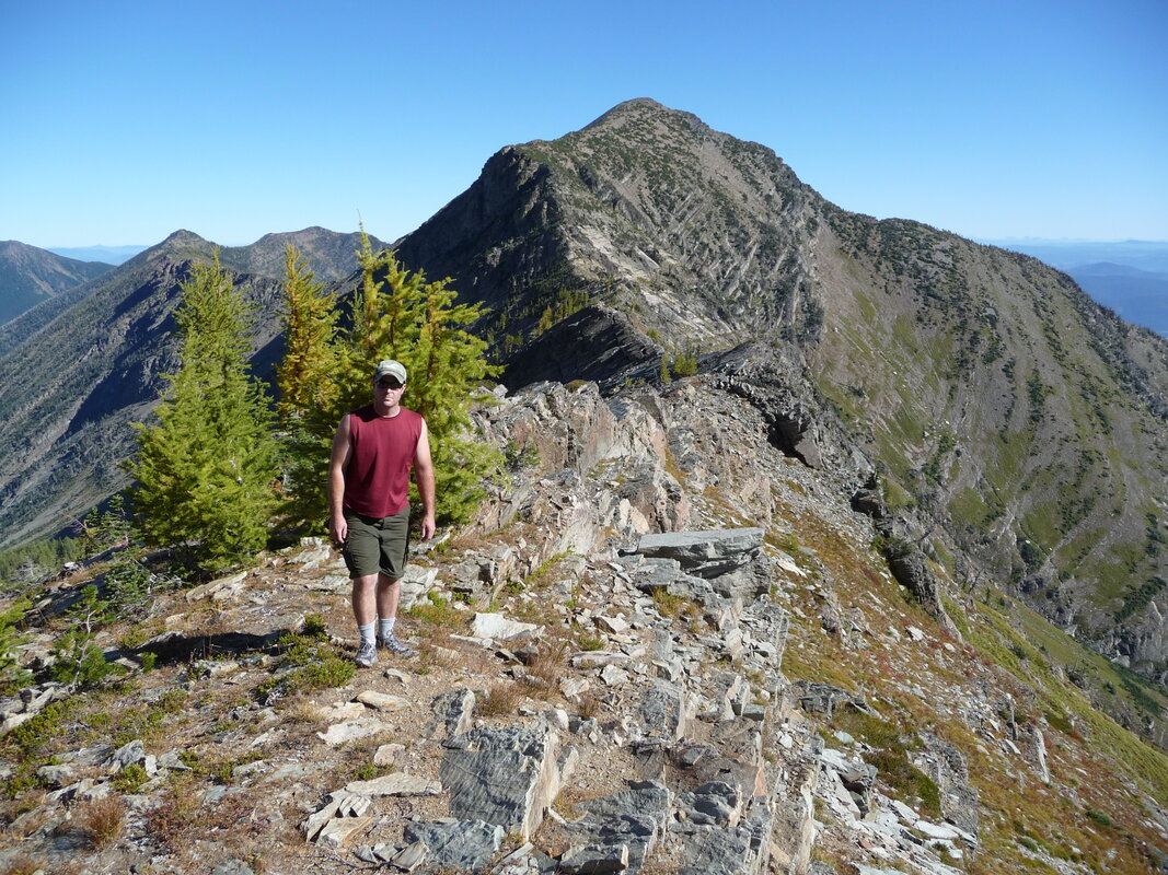
From the trailhead off of National Forest Road #2722, head northeast up the North Fork. The trail is good at the bottom, but the last half a mile is steep, rugged and hard to follow up high. Once at Snowshoe Lake, skirt the left side around the lake, and slowly ascend to the ridge SE of Snowshoe Peak. From here, hike/scramble NW to Snowshoe Peak.
The elevation gain via this route is 5785 verts.
OPTION #2:
Another route to Snowshoe is via the North Fork Bull River, but makes an up hill turn in about 3 miles. This non de-script route takes you to a very cool ridge to A Peak. Once up on the “level” look for a rock ridge line that does a slow arch up to A Peak’s summit.
From A Peak, head SE along a scary ridge to just below Snowshoe Peak. Choose your route above this point, carefully.
From A Peak, head SE along a scary ridge to just below Snowshoe Peak. Choose your route above this point, carefully.
DIRECTIONS:
EAST SIDE ROUTE FROM LIBBY:
From Libby, drive south on Highway 2 towards Glacier National Park for about 8 miles to the Big Cherry Creek Road #278. Turn right (west) for three miles to FR#867. Turn right (west) for about 5 miles to FR #4786. Drive up 4786 for about 2 miles to the trailhead. Notice along this last stretch of road, that there is pull off to the left to a very primitive campsite.
From Libby, drive south on Highway 2 towards Glacier National Park for about 8 miles to the Big Cherry Creek Road #278. Turn right (west) for three miles to FR#867. Turn right (west) for about 5 miles to FR #4786. Drive up 4786 for about 2 miles to the trailhead. Notice along this last stretch of road, that there is pull off to the left to a very primitive campsite.
WEST SIDE ROUTE VIA N.FORK BULL RIVER
On Hwy 56, look for milepost 16. Turn right (east) up the South Fork Bull River Road #410 for about 2 miles, where the road “Y’s”. Bear right (east) onto F.R. # 2722 for about 2 miles to the trailhead.
HAZARDS:
EITHER ROUTE TO SNOWSHOE PEAK ARE VERY HAZARDOUS. PLEASE USE EXTREME CAUTION.
COOL THINGS CLOSE BY:
Kootenai Falls, historic Libby, Montana, U & L Geiger Lakes, Snowshoe Peak, Blackwell Glacier, and A Peak.
R & P:
Henry’s & Pizza Hut, The Shed, and Roasters in Libby, Clark Fork Pantry, Eicharts, Mr Sub, Burger Express, & Jalapeños in Sandpoint
