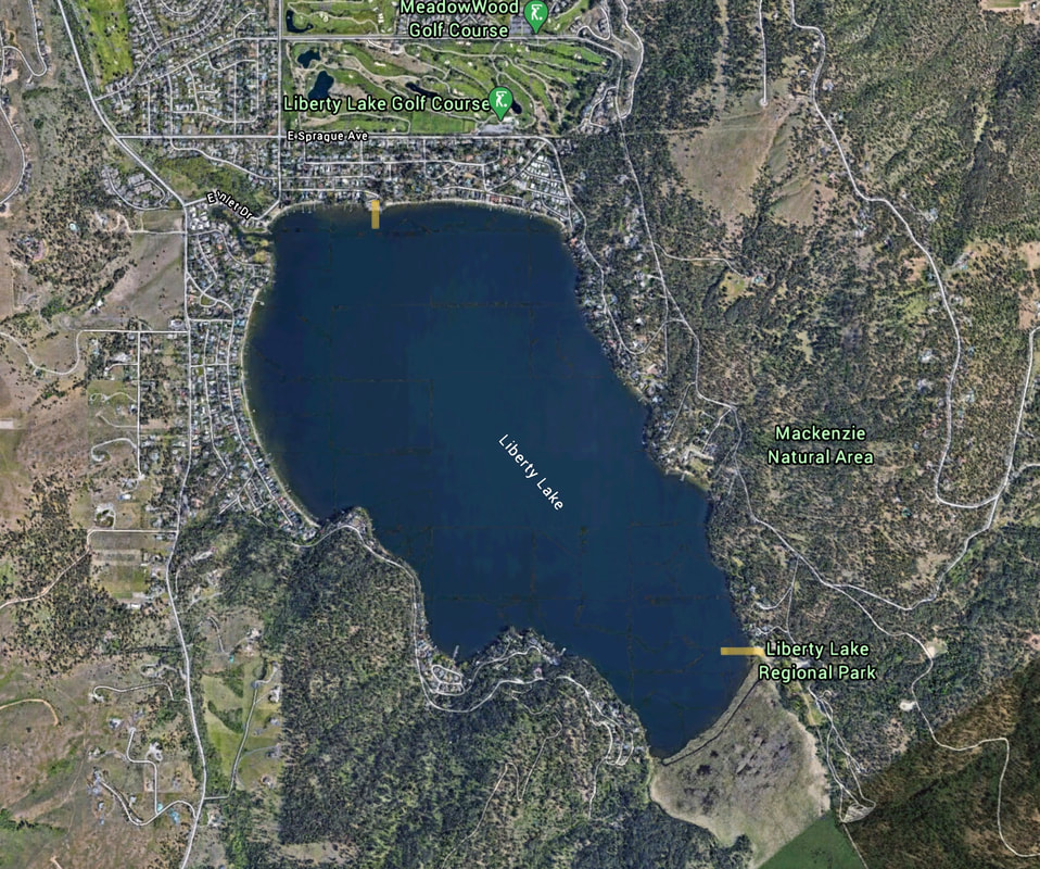
LIBERTY LAKE 3rd STREET LAUNCH
PADDLE DISTANCE: 4.7 mile loop
ELEVATION: 2047’
LENGTH AND ACREAGE: 1.7 miles long and 708 acres
MAPS: Liberty Lake Regional Park,
LAUNCH GPS: 47°39’14” N 117°05’02” W
ELEVATION: 2047’
LENGTH AND ACREAGE: 1.7 miles long and 708 acres
MAPS: Liberty Lake Regional Park,
LAUNCH GPS: 47°39’14” N 117°05’02” W
DESCRIPTION:
WE HAVE ADDED THE AREAS SHERIFF’S EMERGENCY PHONE NUMBERS FOR EACH TRIP WRITE UP UNDER THE RANGER DISTRICT INFO. IF AN EMERGENCY OCURRS, EVALUATE YOUR CIRCUMSTANCES AND CALL ONLY IF NEEDED.
Liberty Lake is a largish nearly round lake nestled between and north of both Mica Peaks.
The launch is located on the north shore in a dense housing area. Parking and access to the launch can be difficult during busy periods.
At the south end of the lake is the Liberty Lake Regional Park with all its amenities.
ATTRACTIONS
A nice lake near Spokane for easy afternoon paddles.
DIRECTIONS:
Take the Liberty Lake exit off the freeway, and drive south on N. Liberty Lake Road to E.Sprague Ave. and turn left (E) to S. Molter Road and turn right (S). Head south to E. 3rd Ave. and turn left to the launch.
COOL THINGS CLOSE BY:
Both Mica Peaks, Liberty Lake Regional Park,
R & P:
NA


