*****************CALL THE P.R. RANGER DISTRICT AT 208.443.2512, BETWEEN 8-4:30 TO MAKE SURE THE ROADS ARE CLEAR.***********************
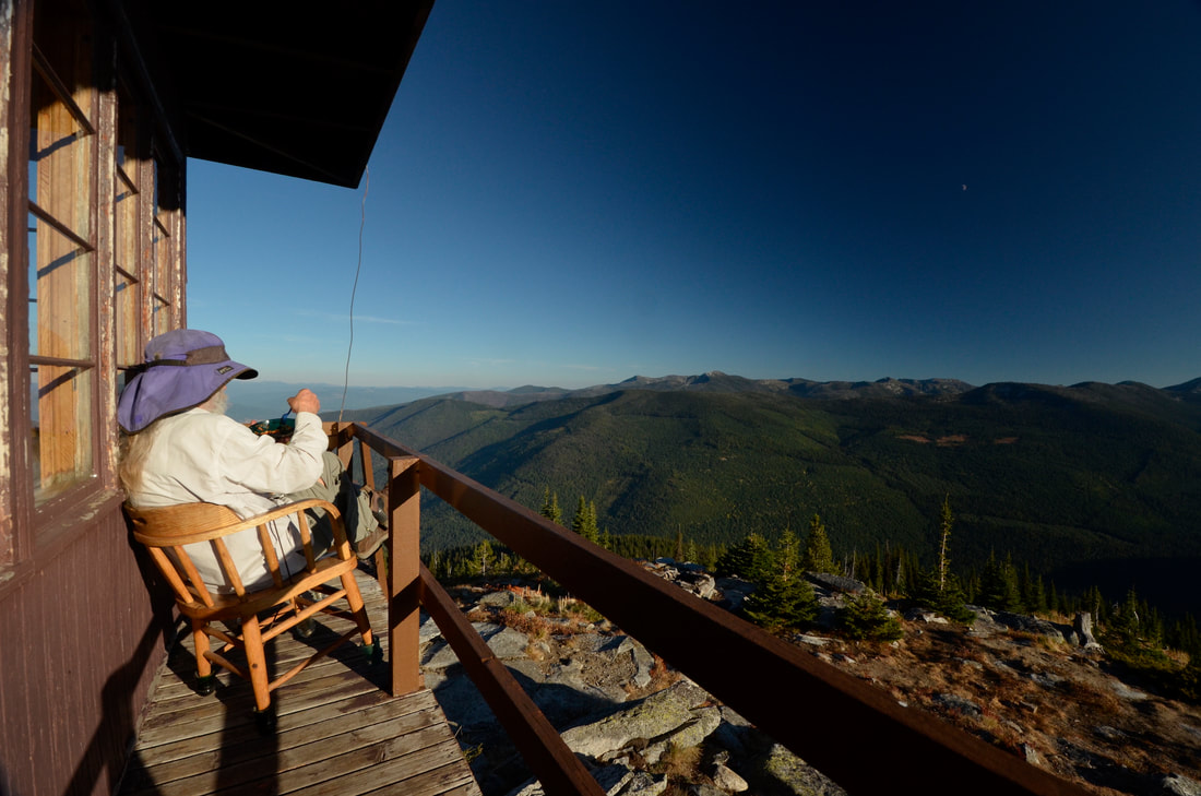
SHORT PEAK 6515' AND LONE TREE PEAK 6732' #95
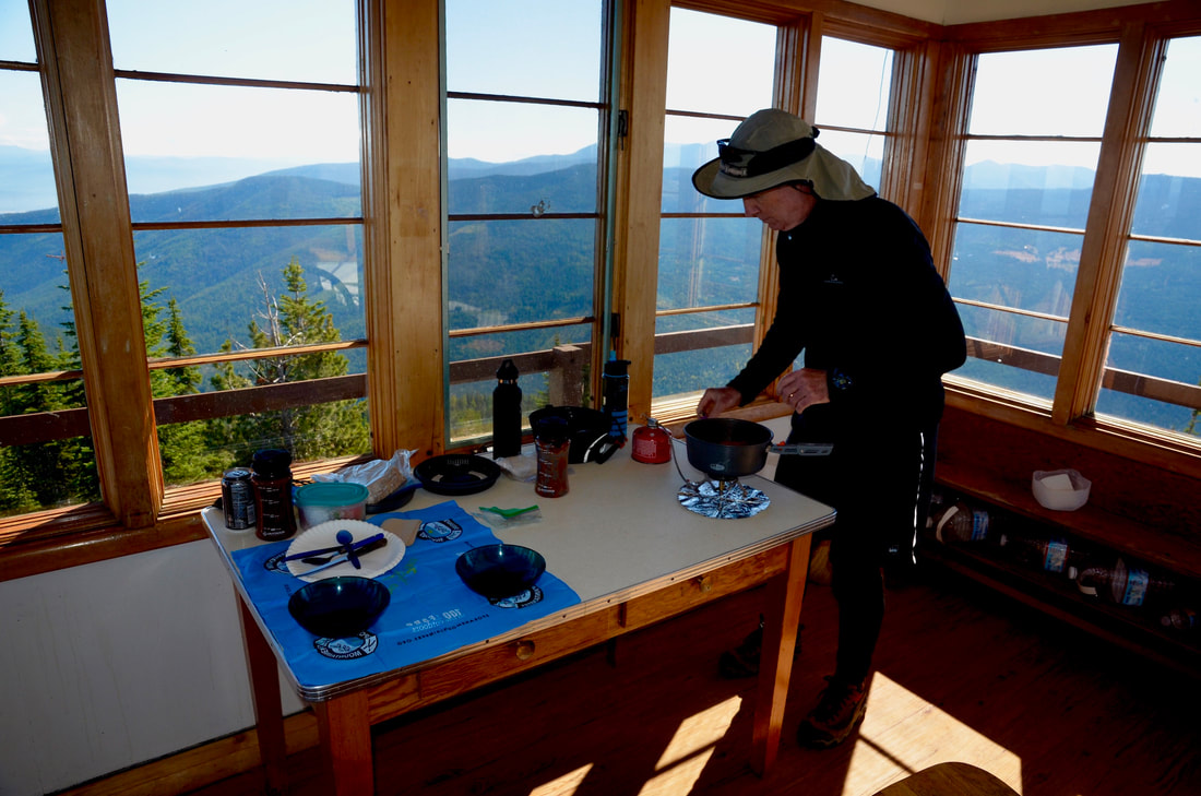
EVENT TYPE: Hiking, backpacking, equestrian, Lookout Tower Rental
DISTANCE: 2.5 miles RT
ELEVATION: 1300 verts
DIFFICULTY: moderately easy
MAPS: IPNF Forest map, Shorty Peak Topo
GPS: 48°56'25" N 116°41;21" W
RANGER DISTRICT: Priest River R.D. 208.443.2512
BOUNDARY COUNTY SHERIFF: 911 or 208.267.3151
DISTANCE: 2.5 miles RT
ELEVATION: 1300 verts
DIFFICULTY: moderately easy
MAPS: IPNF Forest map, Shorty Peak Topo
GPS: 48°56'25" N 116°41;21" W
RANGER DISTRICT: Priest River R.D. 208.443.2512
BOUNDARY COUNTY SHERIFF: 911 or 208.267.3151
DESCRIPTION:
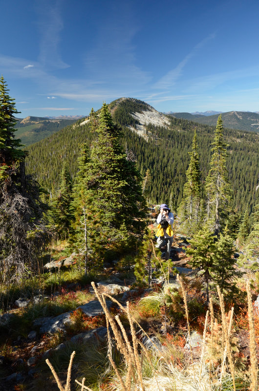
WE HAVE ADDED THE AREAS SHERIFF’S EMERGENCY PHONE NUMBERS FOR EACH TRIP WRITE UP UNDER THE RANGER DISTRICT INFO. IF AN EMERGENCY OCURRS, EVALUATE YOUR CIRCUMSTANCES AND CALL ONLY IF NEEDED.The trail starts next to an old clearcut, but soon enters the forest before the gentle hike reaches a shallow ridge. For about a half a mile the trail offers shade on a hot day. As you get closer to Shorty Peak the forest starts to open up. Eventually, you will come to a large scree summit slope.
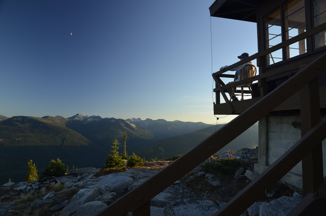
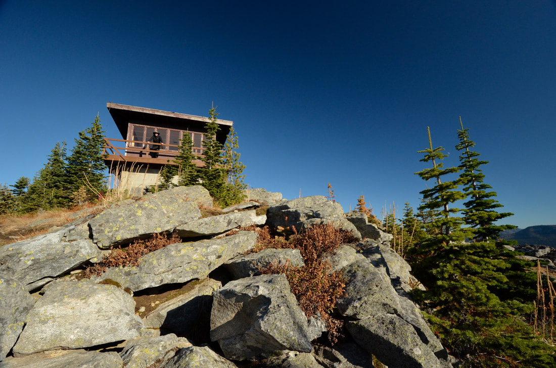
The trail switchbacks three times as the trail nears the lookout tower.
The trail switchbacks three times as the trail nears the lookout tower.
OPTION #1:
From Shorty Peak 6515', due west and a little over a mile is Lost Tree Peak about 300 verts of gain. Even tho Lost Tree is higher, the lookout was built on Shorty Peak.
Lost Tree Peak 6706', has 360° views of Washington, Idaho, Montana, and British Columbia, Canada.
its a short hike and well worth the views. its also a nice place to take a nap.
Lost Tree Peak 6706', has 360° views of Washington, Idaho, Montana, and British Columbia, Canada.
its a short hike and well worth the views. its also a nice place to take a nap.
DIRECTIONS:
From Bonners Ferry drive 95 drive 15 miles to a junction with SH 1, where you will drive about 2 miles to Copeland, Idaho ( County Road #45. Turn left (west) on Copeland Road as it crosses the Kootenai Valley and the Purcell Trench, to the Westside Road #417. Drive 9 miles to a switchback onto Smith Creek Road #281. The road is paved for about 6.5 miles.
Just past milepost 7, bear right on Road 655 for 1.5 miles and turn sharply to the right onto Road #282. Continue on Road 282 for 4 miles to a saddle and a locked gate.
The trail is an old road on the left.
Just past milepost 7, bear right on Road 655 for 1.5 miles and turn sharply to the right onto Road #282. Continue on Road 282 for 4 miles to a saddle and a locked gate.
The trail is an old road on the left.
COOL THINGS CLOSE BY:
Italian Ridge, Osborn Vista, Smith Falls, Cutoff Peak & Smith Peak, and Canada.
HAZARDS:
Non until you get the the upper scree summit. Walk carefully, paying attention to your steps.
R & P:
Jalapeños, Eichardt's, Mr. Sub, and Burger Express in Sandpoint
PLAN YOUR TRIP:
Click for Current NOAA Weather Conditions
