MICA BAY LAUNCH
PADDLE DISTANCE: varies
ELEVATION: 2128’
LENGTH AND ACREAGE: varies
MAPS:
LAUNCH GPS: 47°35’ 58” N 116°51’33” W
KOOTENAI COUNTY SHERIFF: 208.446.1300
ELEVATION: 2128’
LENGTH AND ACREAGE: varies
MAPS:
LAUNCH GPS: 47°35’ 58” N 116°51’33” W
KOOTENAI COUNTY SHERIFF: 208.446.1300
DESCRIPTION:
WE HAVE ADDED THE AREAS SHERIFF’S EMERGENCY PHONE NUMBERS FOR EACH TRIP WRITE UP UNDER THE RANGER DISTRICT INFO. IF AN EMERGENCY OCURRS, EVALUATE YOUR CIRCUMSTANCES AND CALL ONLY IF NEEDED.
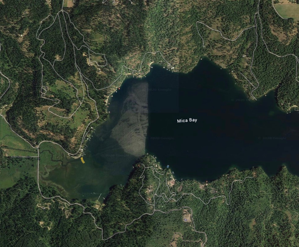
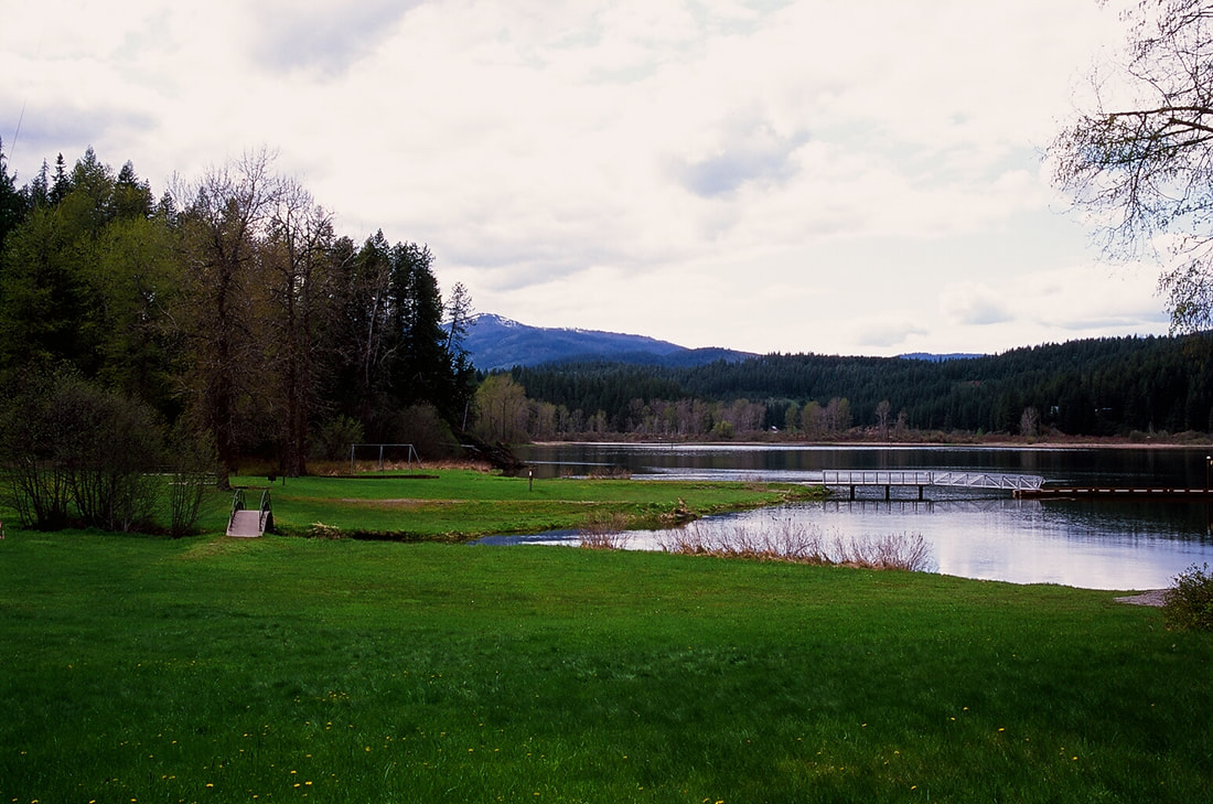
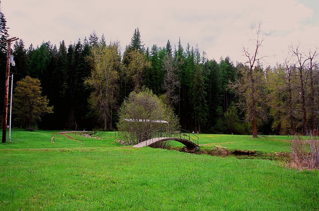
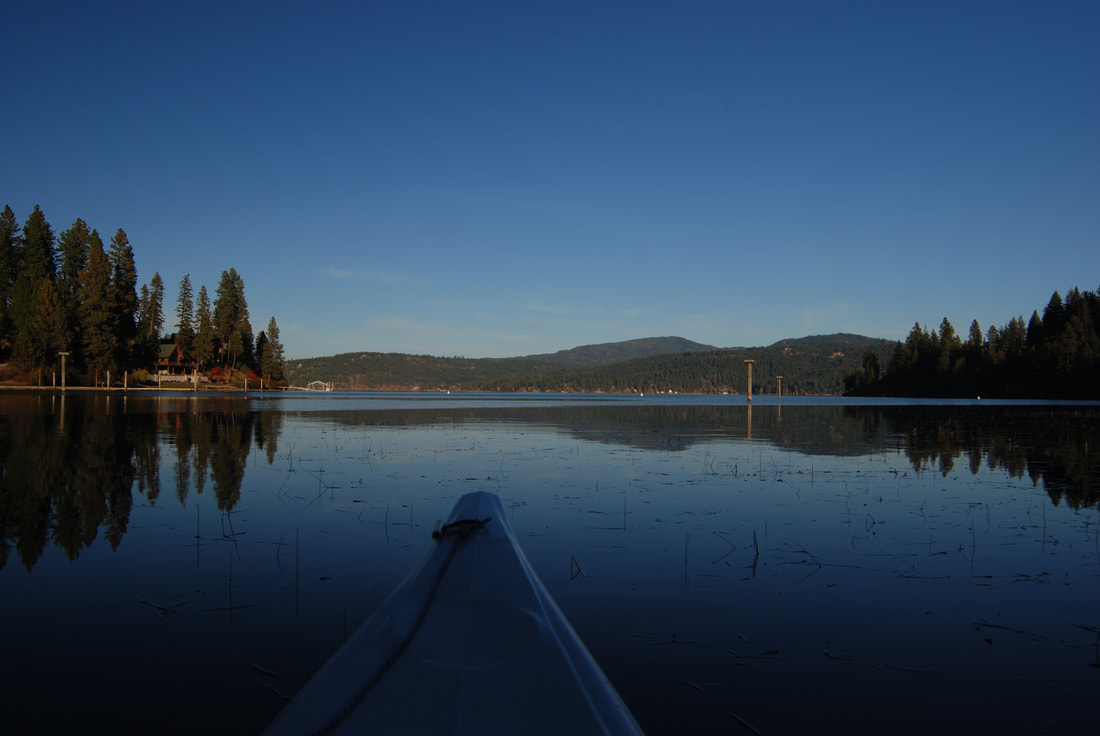
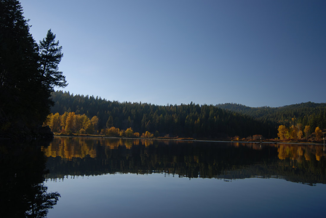
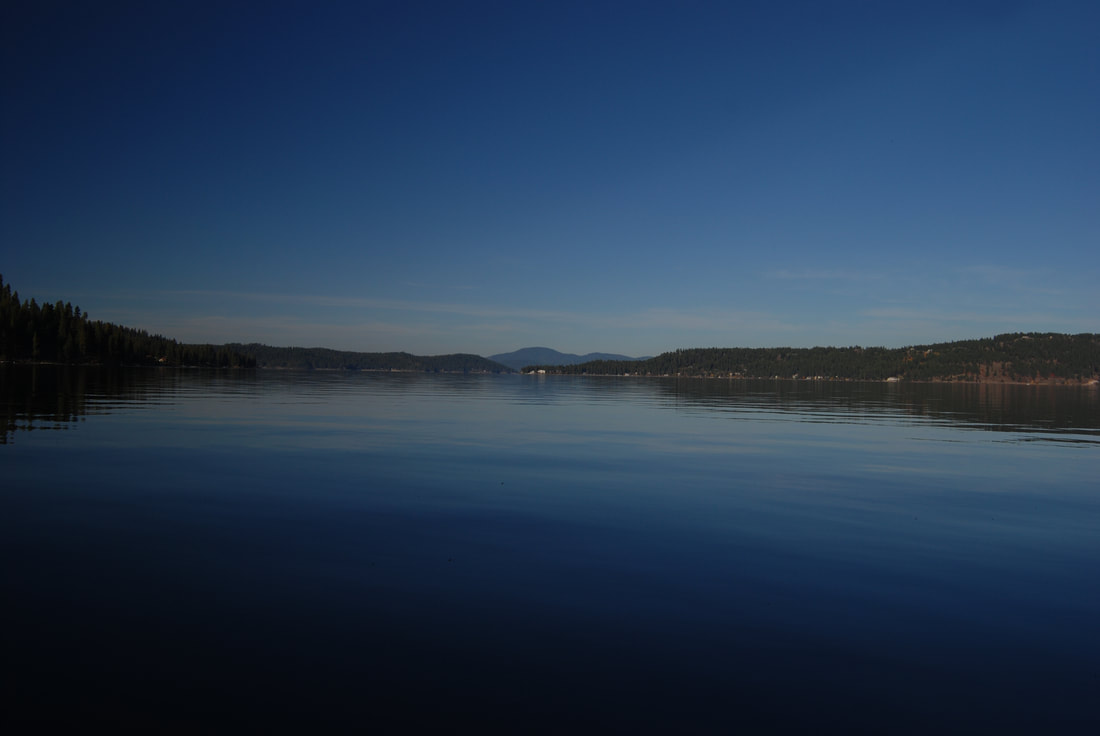
Mica Bay is a long bay that has great paddling to the main lake. As you put in, paddle the right shore line to get to the Mica Bay Boaters Park. This park is a good option to stay at if you want to do a shake down paddle/camp.
From the park paddle east to the main body of Lake CDA. Camp Sweyolakan is on the South shore as you get to the main body of CDA.
ATTRACTIONS
A large launch with ample parking
DIRECTIONS:
From the SW end of the Spokane River bridge, drive south past Mica, Idaho, to the Old U.S. Hwy 95 Road and turn left (East) to the launch, which is near the base of Mica Bay.
COOL THINGS CLOSE BY:
Mica Bay Boaters Camp, Camp Sweyolakan, and Toad Rock.
R & P:
Trails End Brewery, Mexican Food Factory, Franklins Hoagies, and Moon Time
