WARD & EAGLE PEAKS, TRAIL #250
EVENT TYPE: Day hiking, backpacking, scrambling and photography
DISTANCE: 5 miles RT
ELEVATION: 912’ gain to Ward Peak, with 812’ loss to the saddle, 833’ gain to Eagle Peak from saddle
DIFFICULTY: moderately easy
MAPS: IPNF, Lolo N.F., Haugen, Mt.- I’d
GPS: 47°28’27” N 115°38’ 38” W
RANGER DISTRICT: CDA River R.D. 208.769.3000
MINERAL COUNTY SHERIFF: CALL 911 FIRST or 406.822.3555
DESCRIPTION:
This hike is one of the easiest along the Idaho Montana boarder by St. Regis, Mt.
The trailhead is east of the parking pull off on FR 391. Look for a short diagonal road to th SE.
From the trailhead, the hike on Trail #250 is on a well defined trail on the south side of Ward Peak. As the trail skirts the left (west) side of the peak, look for the trail to double back up hill heading east.
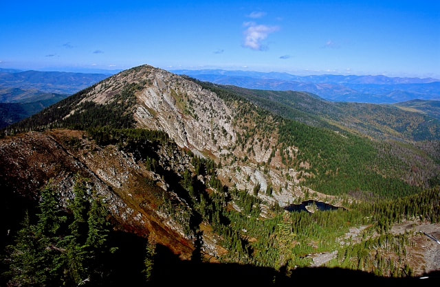
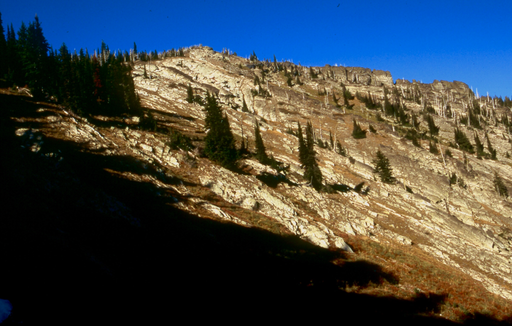
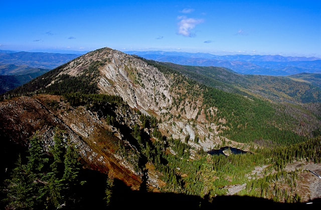
Ward Peak's summit is mostly rock scree, with a stacked rock shelter just east of the summit. There used to be a lookout cabin here, but it has deteriorated to scrap. Enjoy the summit and all it's view, especially of Eagle Peak to the north, your next summit. Retrace your step back to Trail 250 and go right (north) towards Eagle Peak, down to a saddle. An alternative route to the saddle between the two peaks, is to drop off the west edge of Ward's summit and scramble down the rocky ridge, meeting up with Trail 250 at the saddle.
From the saddle there is only one way to the summit of Eagle Peak. Up. The trail climbs moderately to Eagle Peak.
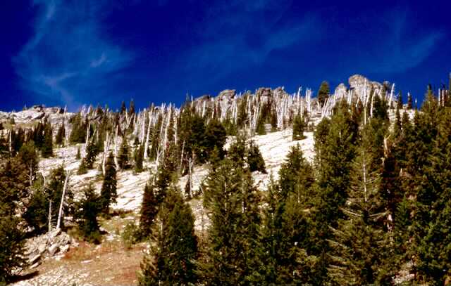
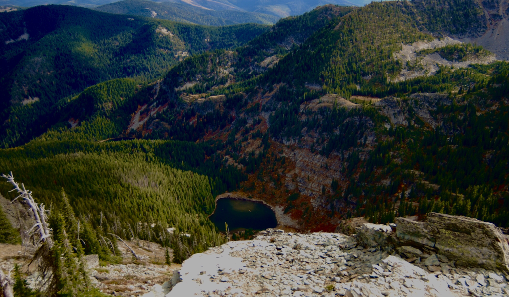
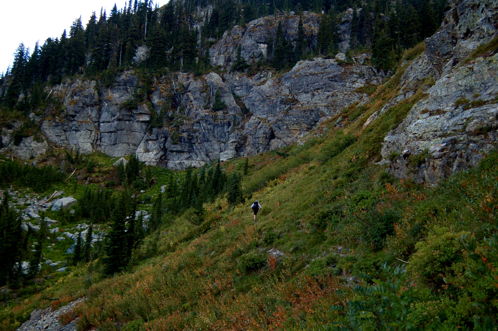
Once on Eagle Peak, notice Ward's vertical face. Very impressive. The SE edge of Eagle Peak has some good, but short technical climbs. Below you is Hub Lake, with Hazel & Square Lake further down the Hub Lake Trail (262) that heads NE to I-90.
Retrace your steps all the way down Trail #250 to the cars.
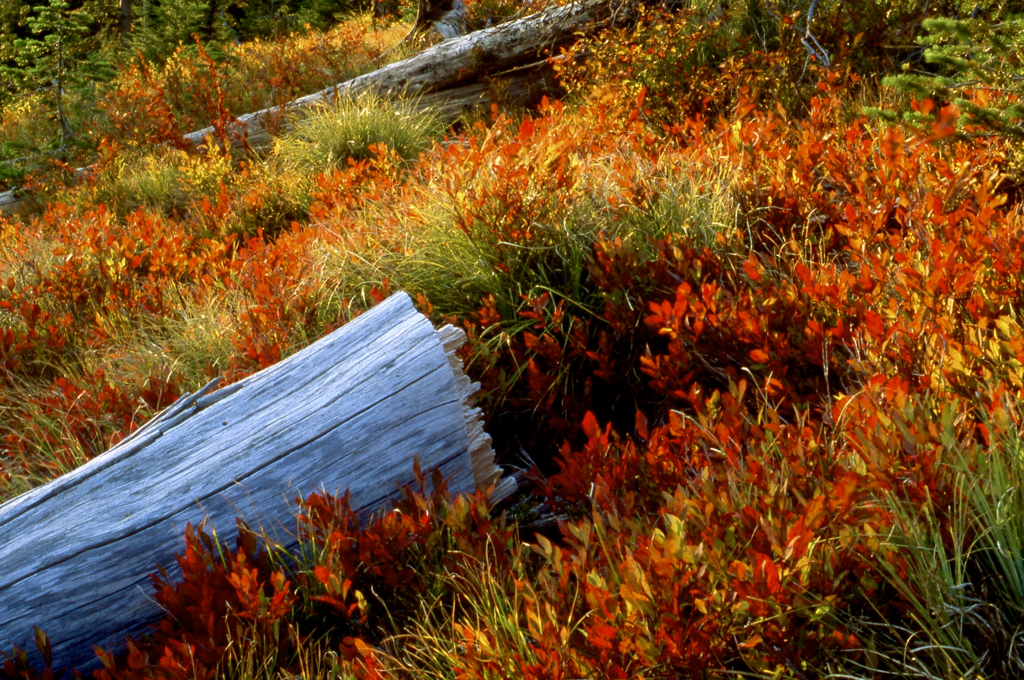
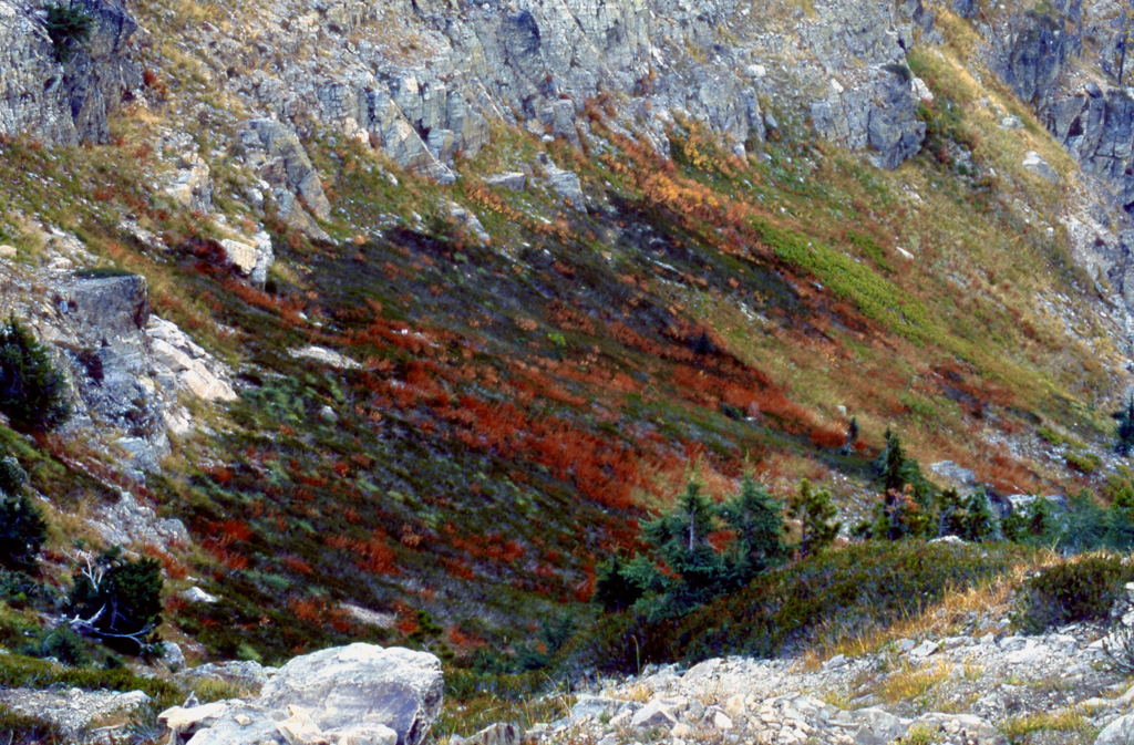
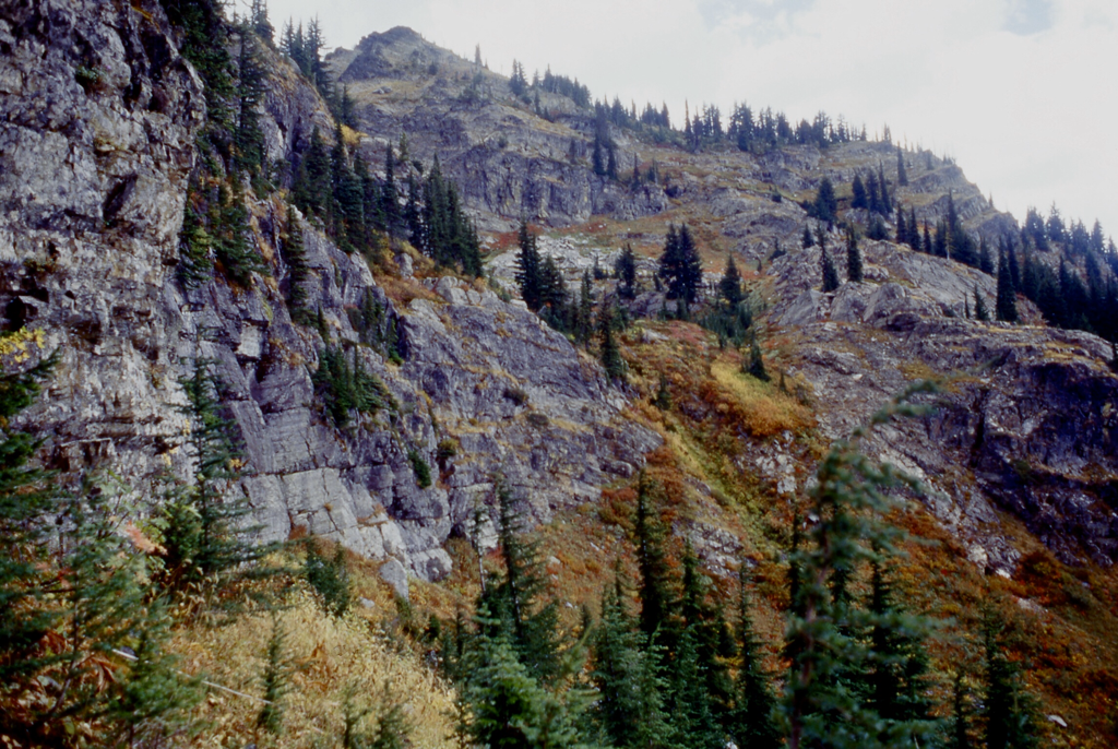
Fall colors on the south side of Ward Peak should not be missed.
OPTION #1:
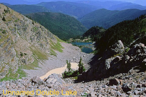
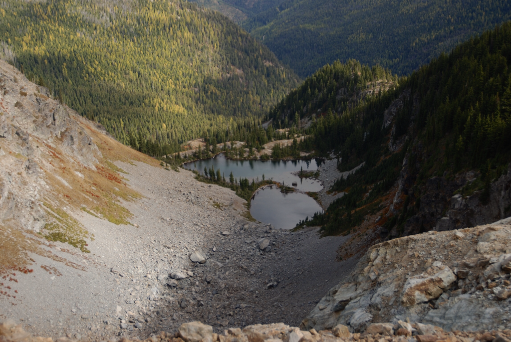
As you start the trail from FR 391, it turns left (west) in about 300'. Instead of turning left, go straight up hill to the summit of the ridge above you. It’s chicwacking at its best. At the ridge go right (east) about .3 of a mile for a view of an incredible Unnamed Double Lake. See Option #4
Retrace your step and continue up the east ridge to Ward's summit, and continue your hike as stated above.
Retrace your step and continue up the east ridge to Ward's summit, and continue your hike as stated above.
OPTION #2:
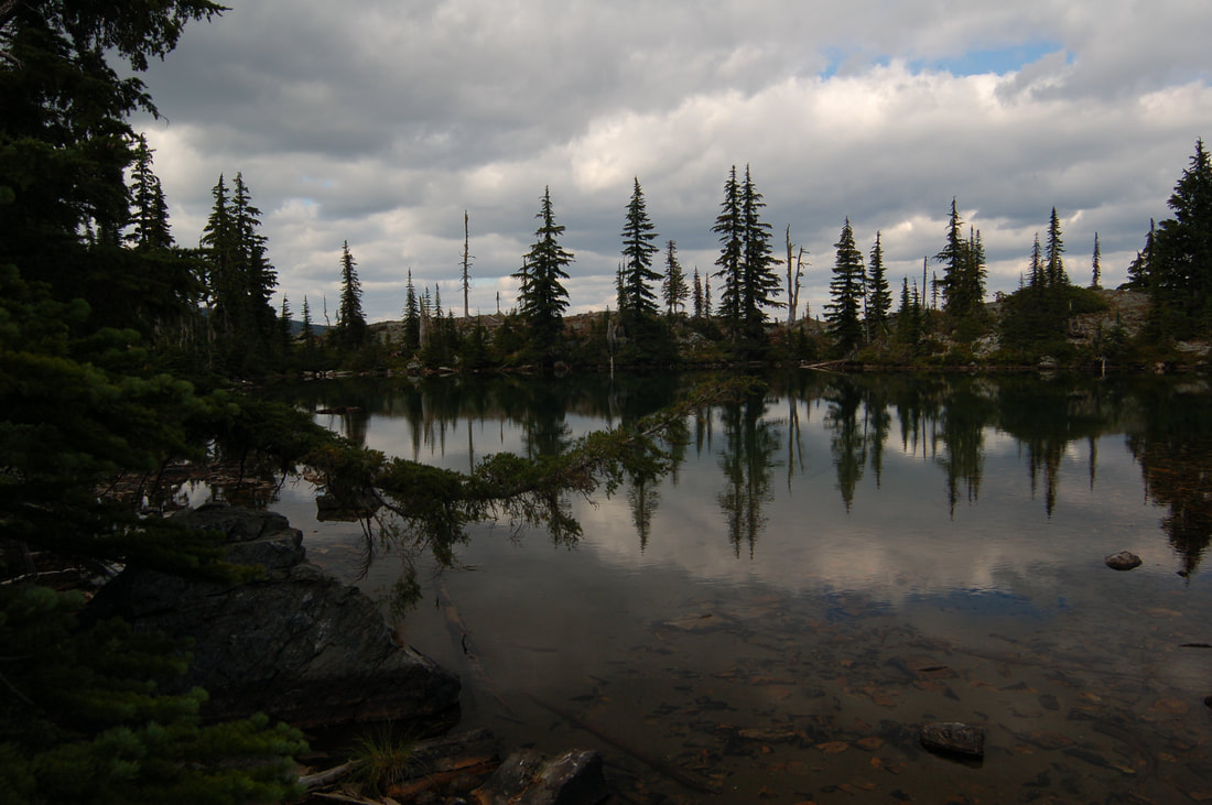
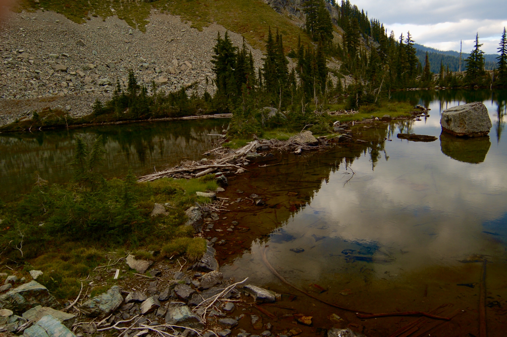
From Ward Peak take the trail north towards Eagle Peak. There will be a dominate ridge heading east down to Mary Lake with it's large island. This lake is directly above Hub Lake, some 800verts. Scramble back up to the ridge and continue your hike to Eagle.
OPTION #3:
Just past the saddle between Ward and Eagle Peaks, is a trail heading down hill to Hub Lake. Above Hub Lake is an old mine you can go about 20 feet into. Retrace your steps back up to the saddle.
OPTION #4
THERE IS NO TRAIL AFTER 200 YARDS. FROM THE LAKE SE, THE TRAIL IS A HUNTERS TRAIL. PLEASE PAY ATTENTION AND CONTOUR TO F.R. 391.
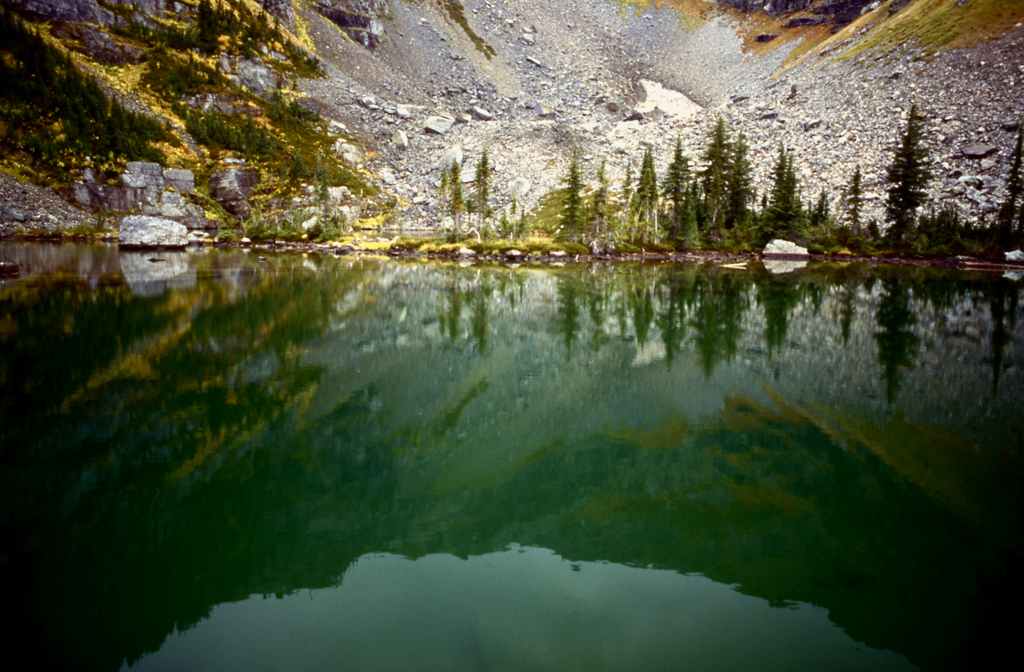
This option will take you to the Unnamed Double Lake.
From the Ward & Eagle Peaks trailhead, climb straight up to the ridge. About 300 feet up the trail, where the trail turns left. Continue straight up to the ridge line above you. The Unnamed Double Lake will be below you on your right.
Turn right here and walk down to the ridge to the right (SE ) of the lake. Stay centered on the ridge, and veer left to the Unnamed Double Lake at the bottom.
Once you’ve enjoyed this spectacular lake, hike SE, and skirt the ridge you came down on. This faint trail will take you back to F.R. #391, the road you drove to, to get to the trailhead. DO NOT DROP TOO FAR.
The cars are right (W) up the road you drove in on.
DIRECTIONS:
East Drive. CLOSED UNTI 9.1.2024. SEE WEST DRIVE, BELOW.
Drive I-90 to St. Regis, Mt and turn up Highway 200. Turn left (NW) after the Casino/gas station/gift shop, and drive about .5 of a mile and turn left (SW) onto Little Joe Creek Road # 282 and across over the freeway bridge up FR 282 for about 25 miles to the Idaho Montana boarder.
Just past the Sportsman Info sign look for FR # 391. Turn up 391 for about 5 miles to the trailhead SE and below Ward's summit.
West Drive
From Wallace, take the Placer Creek Road south over Moon Pass to the St. Joe River Road # 218 near Avery. Turn left (east) onto 218 and drive past the Nugget Creek Campground and about 5 miles turn left on FR 339. Look for FR #50 and drive to the Idaho Montana boarder, and turn left onto F.R.#391. If you get to the border, a flat spot with a large kiosk sign is off to your left. You have gone too far. Turn back onto the road you came up on, and turn right up F.R. #391.
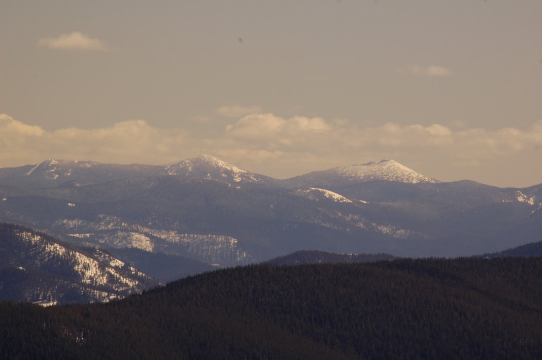
While on road 391, you can see Ward Peak towering to the north.
COOL THINGS CLOSE BY:
The St. Joe River, Heart Lake, Siamese Lake, and Eagle Cliff Peak..
HAZARDS:
None on Ward or Eagle Peaks. A lot on OPTION #4
R & P:
Muchacho’s Tacos, Pizza Factory, 1313 Club, in Wallace, and Radio Brewing in Kellogg
