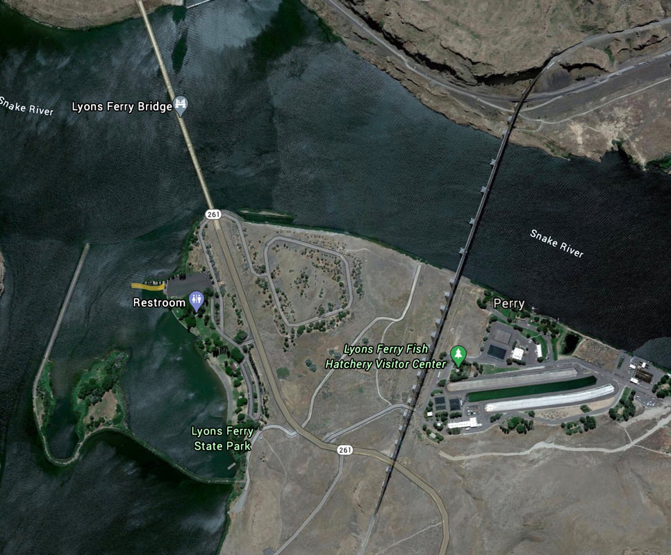
PALOUSE RIVER LAUNCH
PADDLE DISTANCE: 14 mile RT paddle
ELEVATION: 543’ at Lions Ferry Launch on the Snake River. 734’ at the Palouse Falls plunge pool
LENGTH AND ACREAGE: 7 miles. Acreage NA
MAPS: Starbucks West
LAUNCH GPS: Lions Ferry launch 46°35’50” N 118°13’56” W. Palouse Falls 46°39’4 N 118°13’27” W
FRANKLIN COUNTY SHERIFF: 911 or 509.545.3501
WHITMAN COUNTY SHERIFF: 911 or 509.297.6266
DESCRIPTION:
WE HAVE ADDED THE AREAS SHERIFF’S EMERGENCY PHONE NUMBERS FOR EACH TRIP WRITE UP UNDER THE RANGER DISTRICT INFO. IF AN EMERGENCY OCURRS, EVALUATE YOUR CIRCUMSTANCES AND CALL ONLY IF NEEDED.
This paddle starts at Lions Ferry S.P. and heads north up to Palouse Falls. There are several class 1 or 2 rapids, with a class 3 up near Palouse Falls.
When we attempted this paddle, In early summer, the rapids above our camp site were more then I wanted to chance. If you make it past these rapids, you may have to walk your boat u past others. You can tie your boat to your paddle and hold it off the shore line, to get it over the sometimes shallow rapids.
All along this paddle, the walls on each side are very tall.
ATTRACTIONS
About 4.4 miles up stream is a good place to camp. When I was last there, we ate dinner on a knoll about 25 feet above the river. We were delighted in what we saw next. Below us, I noticed some movement near the water. After spending some time tracking this movement, we realized that the stream of Bats were in the tens of thousands.
In the same area, the side walls are hundreds of feet tall right out of the water. It was here that I experienced another odd sensation. As I paddled, some very large fish hit on my paddles end.
In the same area, the side walls are hundreds of feet tall right out of the water. It was here that I experienced another odd sensation. As I paddled, some very large fish hit on my paddles end.
DIRECTIONS:
Drive west on I-90 to Ritzville. At Ritzville turn left (S) onto Hwy 261. Continue past Washtucna on Hwy 261 for 6.4 miles, and stay on Hwy 261 for another 13.8 miles to the Lions Ferry S.P.
COOL THINGS CLOSE BY:
Upper Palouse Falls (a walk), Juniper Dunes Wilderness near the Tri-Cities.
R & P:
NA


