TROUT 6352' & BIG FISHER 6732' LAKES TRAIL #13 & 41
EVENT TYPE: Hiking and Backpacking
DISTANCE: Trout 7 miles RT, Big Fisher 12 miles RT
ELEVATION: 2343' gain 1032' loss
DIFFICULTY: Easy to Moderate
MAPS: IPNF - Kaniksu N.F., USGS - Pyramid Peak, ID
GPS: 48° 48’ 19.7”N 116° 35’ 57.7”W
RANGER DISTRICT: Bonners Ferry R.D. 208.267.5561
BOUNDARY COUNTY SHERIFF: 911 or 208.267.3151
DISTANCE: Trout 7 miles RT, Big Fisher 12 miles RT
ELEVATION: 2343' gain 1032' loss
DIFFICULTY: Easy to Moderate
MAPS: IPNF - Kaniksu N.F., USGS - Pyramid Peak, ID
GPS: 48° 48’ 19.7”N 116° 35’ 57.7”W
RANGER DISTRICT: Bonners Ferry R.D. 208.267.5561
BOUNDARY COUNTY SHERIFF: 911 or 208.267.3151
DESCRIPTION:
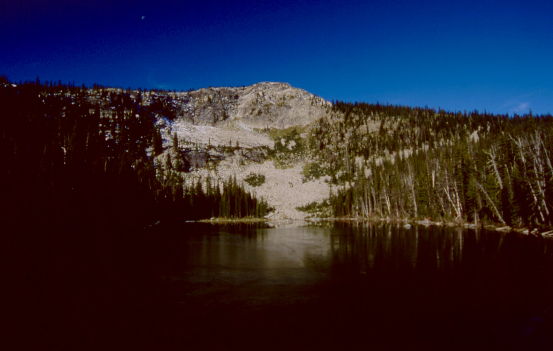
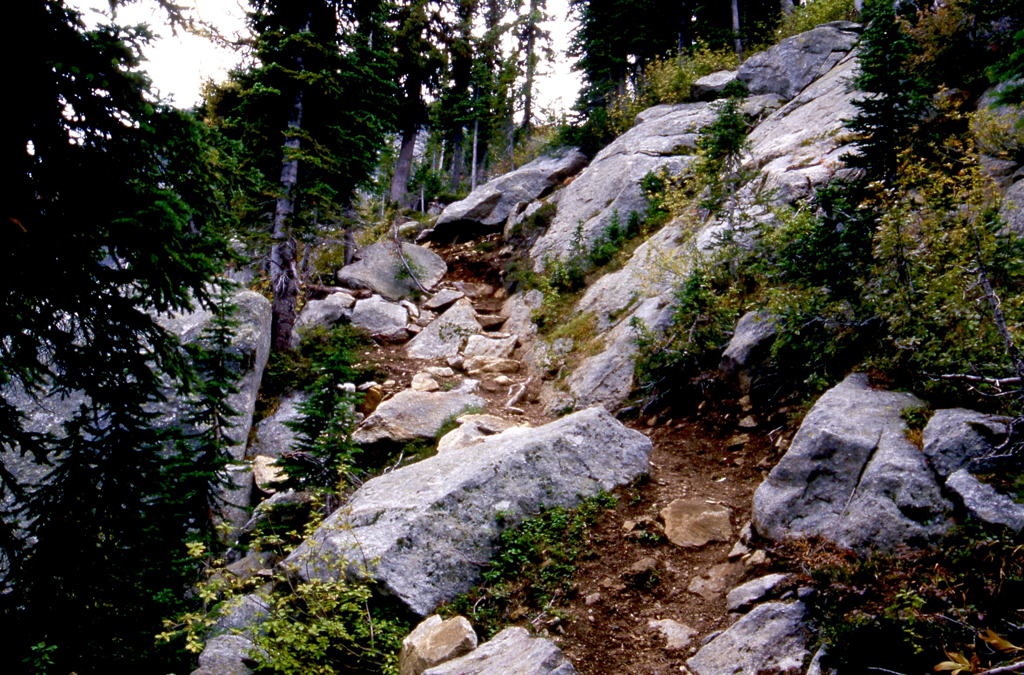
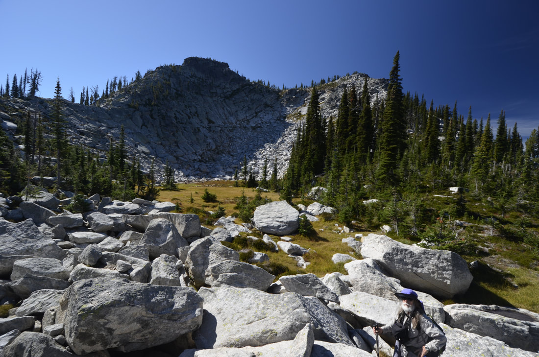
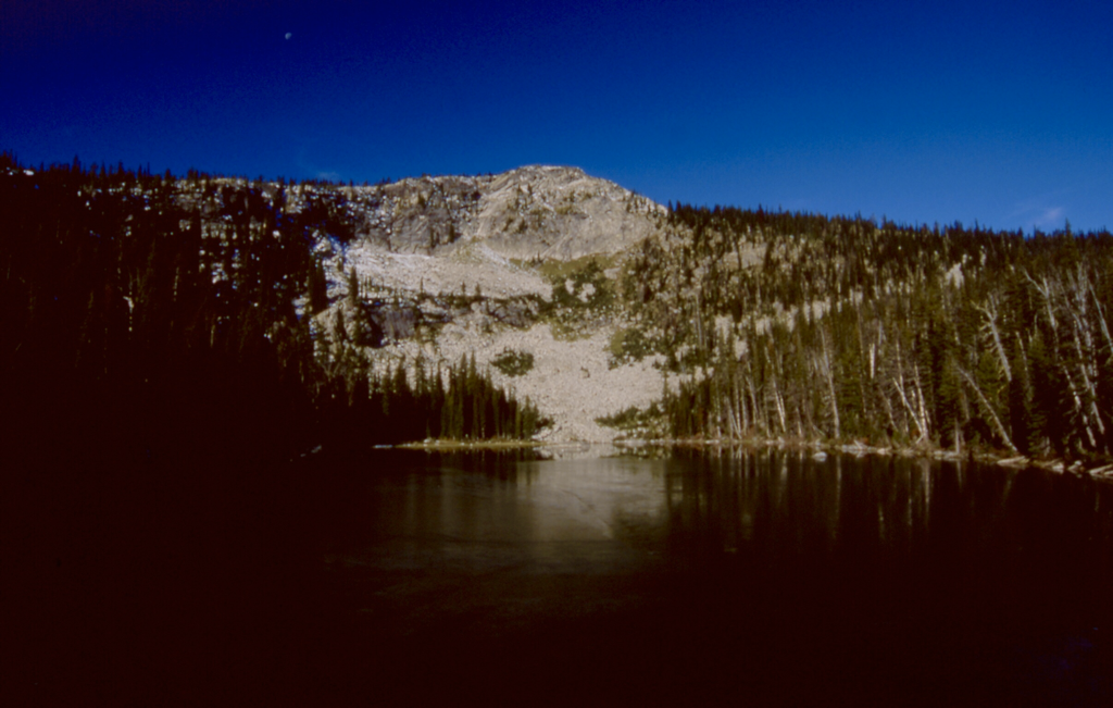
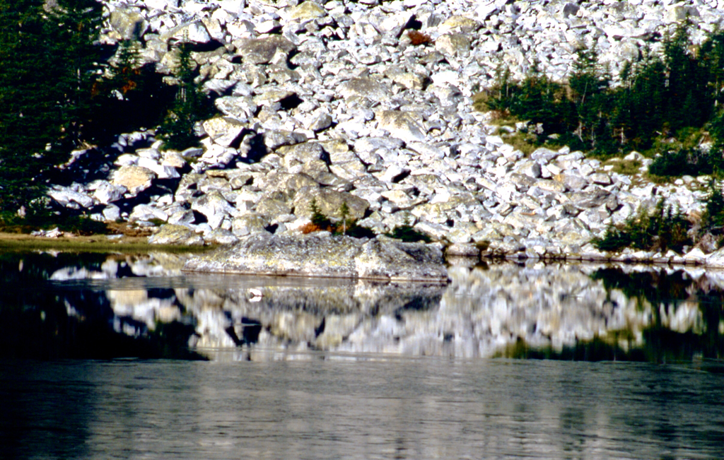
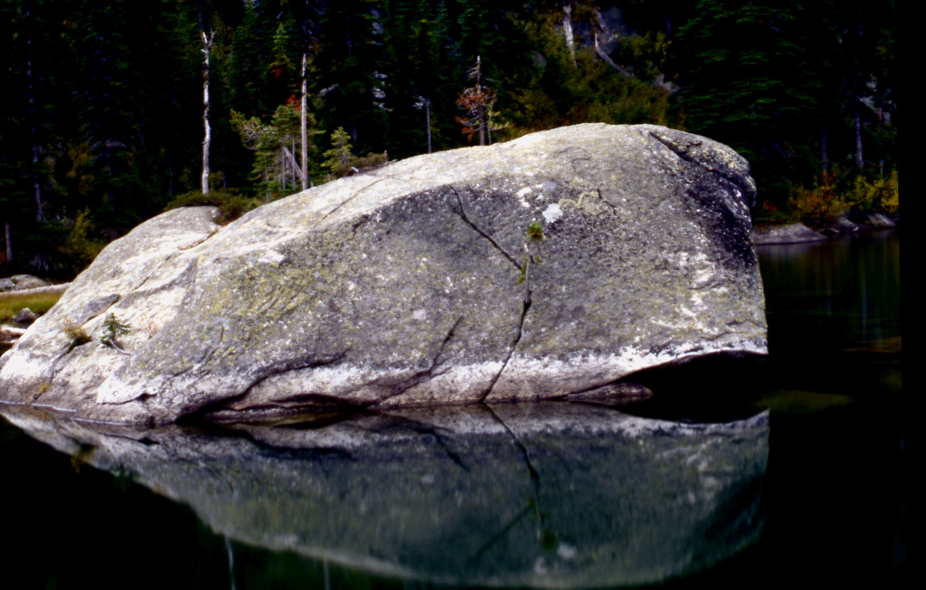
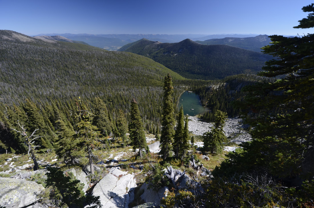
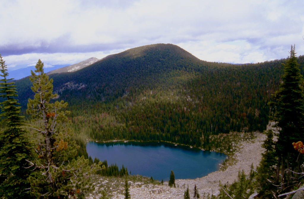
From the Pyramid Lakes trailhead, take Trail # 13 for about 1/2 a mile to the trail sign in box, and take Trail #41 on the right towards Pyramid Pass. In about 2.75 miles the trail will come over a high point, and out in front of you is the Purcell Trench. From here the trail wonders thru a gigantic boulder field that you get to walk down the trail thru. At the lake there is a house size rock to sit on and enjoy the lake and Trout Peak behind it.
The trail to Big Fisher Lake continues NE from the lake for 2.5 miles and drops 654'.
Because the lake is shaded by a lesser peak at 7530', I stayed on the ridge and explored the area. Creston,B.C. can be seen to the north. Retrace your steps out.
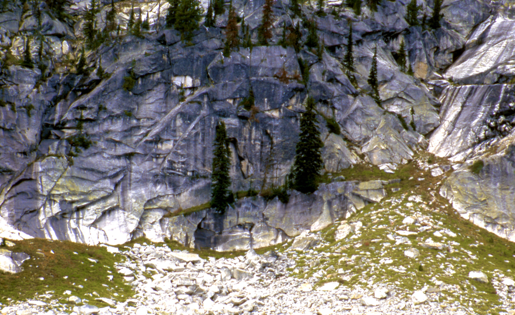
We tried to scramble Trout Peak from the SE, but couldn't find a way. From the trail to Trout, scramble the scree slope before the boulders down to the lake.
HAZARDS:
None of note
DIRECTIONS:
Pass the Kootenai National Wildlife Refuge, NW of Bonners Ferry, on FR 417, also called West Side Road, for 10 miles to the Trout Creek Road #634. Turn left (west) and drive 9 miles to the trailhead.
COOL THINGS CLOSE BY:
Pyramid Pass & Peak, Long Mountain Lake & Peak, Kootenai National Wildlife Refuge, Sandpoint and Pend Orielle Lake.
R & P:
Jalapeños, Mr. Sub, Burger Express, Eichardt’s in Sandpoint
